 Old Cumbria Gazetteer
 |
 |
|
| Stone House Bridge, Stone House | ||
| Stone House Bridge | ||
| site name:- | Dee, River | |
| locality:- | Stone House | |
| locality:- | Dentdale | |
| civil parish:- | Dent (formerly Yorkshire) | |
| county:- | Cumbria | |
| locality type:- | bridge | |
| coordinates:- | SD77078589 | |
| 1Km square:- | SD7785 | |
| 10Km square:- | SD78 | |
|
|
||
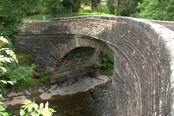 BYP81.jpg (taken 25.6.2013)  BYQ37.jpg corbelling (taken 25.6.2013) |
||
| The bridge is square on to the river, but the road is taken on a skew, over a corbelled
abutment. Perhaps this is a later adjustment. |
||
| One of the neighbours said 'I wish they'd stop knocking it down'. |
||
|
|
||
| evidence:- | database:- Listed Buildings 2010 placename:- Stonehouse Bridge |
|
| source data:- | courtesy of English Heritage "STONEHOUSE BRIDGE / / / DENT / SOUTH LAKELAND / CUMBRIA / II / 484374 / SD7708485899" |
|
| source data:- | courtesy of English Heritage "Public road bridge over River Dee. Probably C17, altered and enlarged in C18 and C19. sandstone rubble. Narrow segmental arch with rubble voussoirs (very large at the springing), with squinches on the south side of the east end and the north side of the west end, carrying widened roadway round sharp bends to south and north respectively; stone slate band to parapets, which have rounded coping stones. Forms group with West Stonehouse farmhouse to east (qv) and with lime kiln approx. 30m to south (qv)." |
|
|
|
||
| evidence:- | old map:- OS County series (Yrk 80) placename:- Blue Bridge |
|
| source data:- | "Blue Bridge" |
|
|
|
||
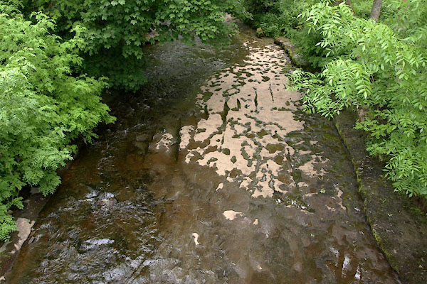 BYP83.jpg View of river. (taken 25.6.2013) |
||
|
|
||
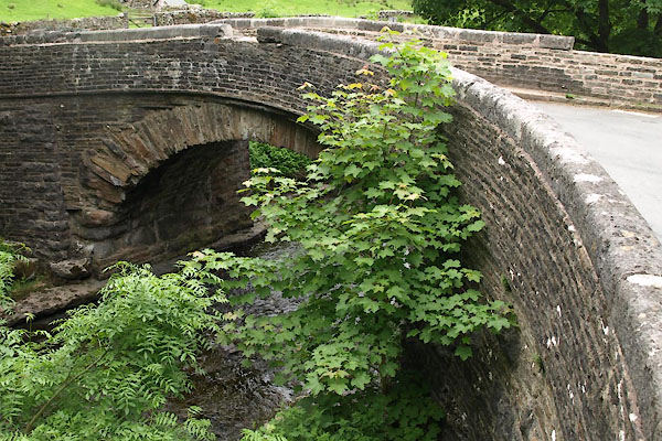 BYP82.jpg (taken 25.6.2013) 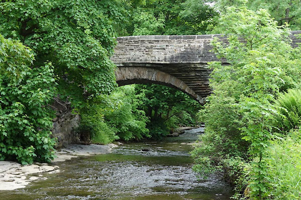 BYQ36.jpg (taken 25.6.2013) |
||
|
|
||
 Lakes Guides menu.