 Old Cumbria Gazetteer
 |
 |
|
| Kelly Bridge, Dent | ||
| Kelly Bridge | ||
| site name:- | Dee, River | |
| locality:- | Dentdale | |
| civil parish:- | Dent (formerly Yorkshire) | |
| county:- | Cumbria | |
| locality type:- | footbridge | |
| locality type:- | bridge | |
| coordinates:- | SD74218645 | |
| 1Km square:- | SD7486 | |
| 10Km square:- | SD78 | |
|
|
||
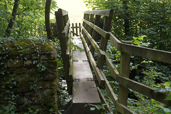 CDS41.jpg (taken 25.8.2015) 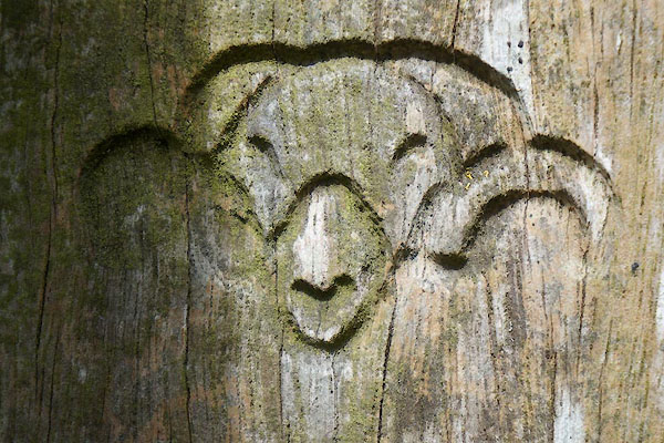 CDS42.jpg Yorkshire Dales National Park logo. (taken 25.8.2015) |
||
|
|
||
| evidence:- | old map:- OS County Series (Yrk 64 15) placename:- Nelly Bridge |
|
| source data:- | Maps, County Series maps of Great Britain, scales 6 and 25
inches to 1 mile, published by the Ordnance Survey, Southampton,
Hampshire, from about 1863 to 1948. |
|
|
|
||
| evidence:- | old map:- OS County series (Yrk 64) placename:- Kelly Bridge |
|
| source data:- | "Kelly Bridge (Foot)" |
|
|
|
||
 Lakes Guides menu.