


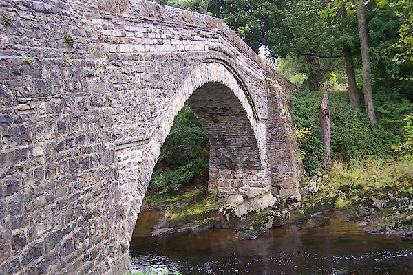
BJW07.jpg (taken 23.9.2005)
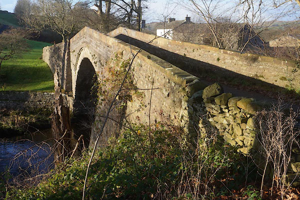
CCD78.jpg (taken 5.12.2014)
placename:- Amit Holme Bridge
"Amit Holme Bridge"
placename:- Abbot Holme Bridge
placename:- Abbot Holme Bridge
courtesy of English Heritage
"ABBOT HOLME BRIDGE / / ABBOT HOLME / SEDBERGH / SOUTH LAKELAND / CUMBRIA / II[star] / 484496 / SD6488890827"
courtesy of English Heritage
"Public road bridge over River Rawthey. Probably C17; altered. Roughly-coursed rubble with stone slate bands. Straight and narrow (approx. 2 metres). One high segmental arch, with long rubble voussoirs, 4 stone corbels near the apex on the north side and a 2-course stone slate arch-band which runs out horizontally at approximately half-height. Slightly humped deck protected by parapets which have renewed coping of large stone blocks. Wider abutments to both ends, battered and stepped on the south side. Forms group with Abbot Holme House (east) (qv)."
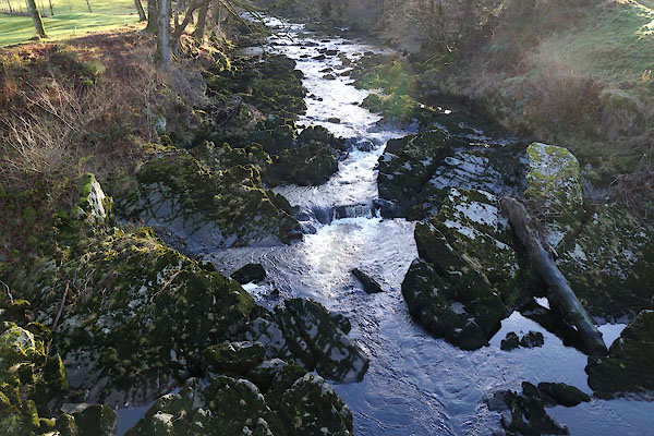
CCD76.jpg View of river.
(taken 5.12.2014)
CCD77.jpg View of river.
(taken 5.12.2014)
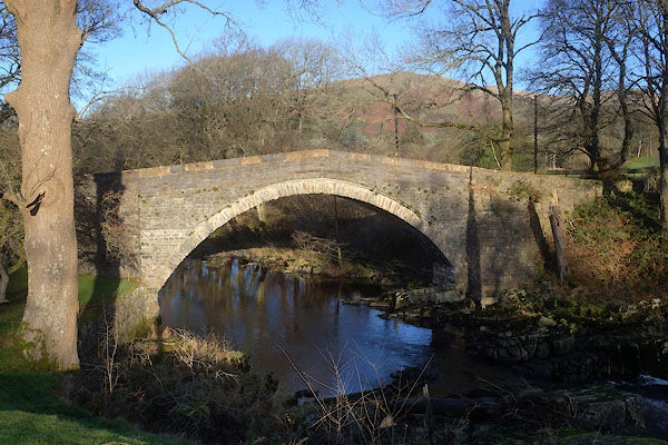
CCD75.jpg (taken 5.12.2014)
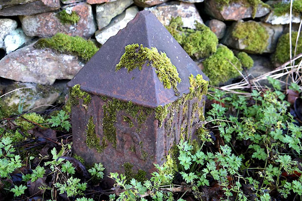
CCD79.jpg ?boundary or something marker:-
"WR" (taken 5.12.2014)

 Lakes Guides menu.