


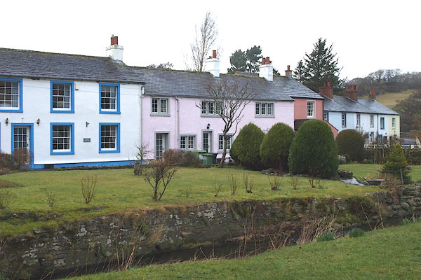
BOT20.jpg (taken 1.3.2008)
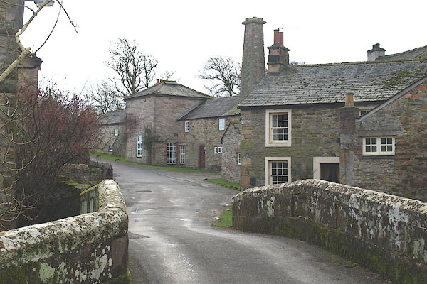
BOT03.jpg (taken 1.3.2008)
placename:- Caldbeck
OS County Series (Cmd 37 16)
placename:- Cladbek
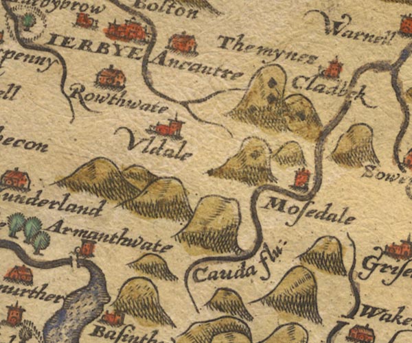
Sax9NY23.jpg
Church, symbol for a parish or village, with a parish church. "Cladbek"
Settlement.
item:- private collection : 2
Image © see bottom of page
placename:- Caldbek
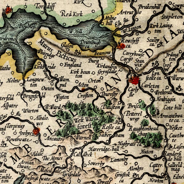
MER8CumC.jpg
"Caldbek"
circle
item:- JandMN : 169
Image © see bottom of page
placename:- Cladbeck
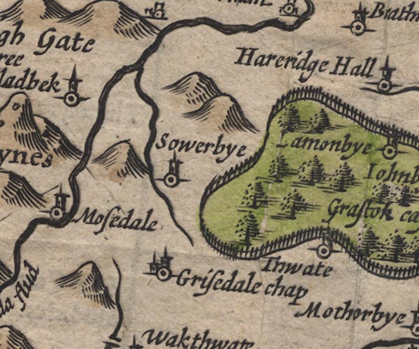
SP11NY33.jpg
"Cladbeck"
circle, tower
item:- private collection : 16
Image © see bottom of page
placename:- Cladbek
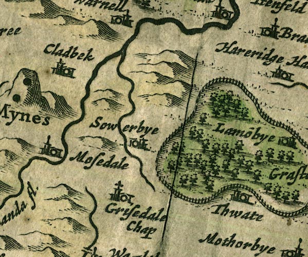
JAN3NY33.jpg
"Cladbek"
Buildings and tower.
item:- JandMN : 88
Image © see bottom of page
placename:- Cladbeck
 click to enlarge
SAN2Cm.jpg
"Cladbeck"
circle, building and tower, flag; town?
item:- Dove Cottage : 2007.38.15
Image © see bottom of page
placename:- Caldbeck
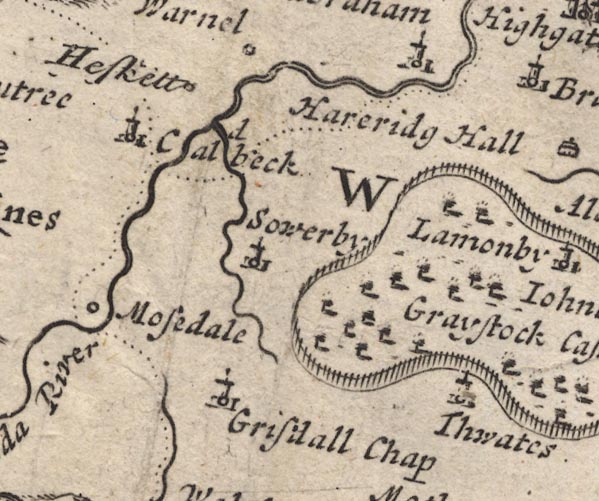
MD12NY33.jpg
"Caldbeck"
Circle, building and tower.
item:- JandMN : 90
Image © see bottom of page
placename:- Caldebeck
 click to enlarge
BD10.jpg
"Caldebeck"
circle, italic lowercase text; village, hamlet or locality
item:- JandMN : 115
Image © see bottom of page
placename:- Caldeback
placename:- Caudebeck
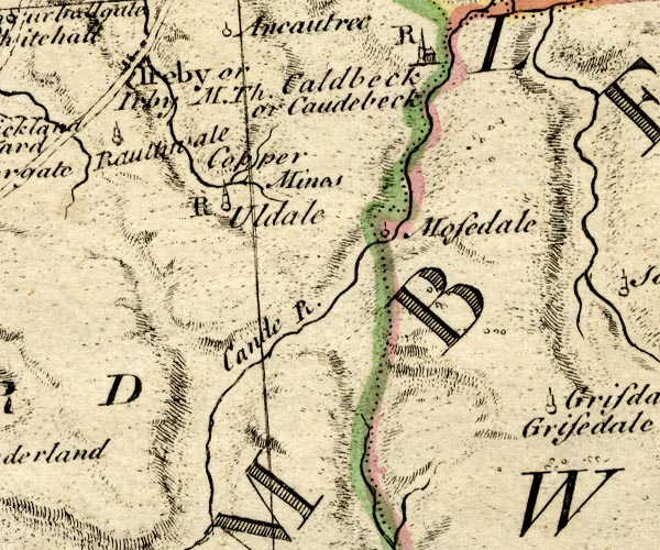
BO18NY23.jpg
"Caldeback or Caudebeck / R"
circle, building and tower, rectory
item:- Armitt Library : 2008.14.10
Image © see bottom of page
placename:- Caldbeck
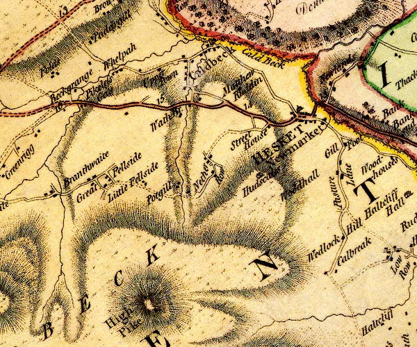
D4NY33NW.jpg
"Caldbeck"
blocks, and usually a church, labelled in upright lowercase; a village
item:- Carlisle Library : Map 2
Image © Carlisle Library
placename:- Caudebeck
 goto source
Page 174:- "..."
"On the Caude, besides the copper mines at Caudebeck, ..."
placename:- Caldbeck
 click to enlarge
COP3.jpg
"Caldbeck"
circle; village or hamlet
item:- JandMN : 86
Image © see bottom of page
placename:- Caldbeck
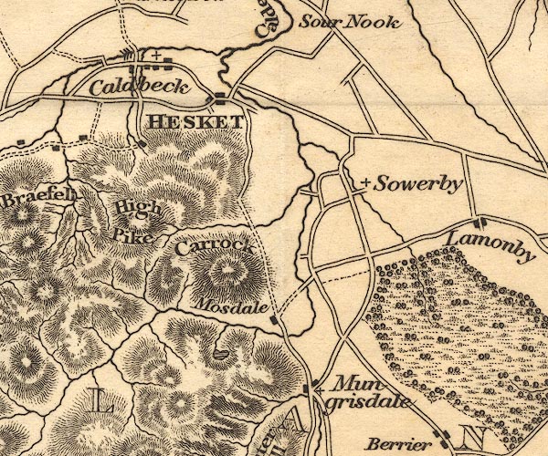
OT02NY33.jpg
item:- JandMN : 48.1
Image © see bottom of page
placename:- Caldbeck
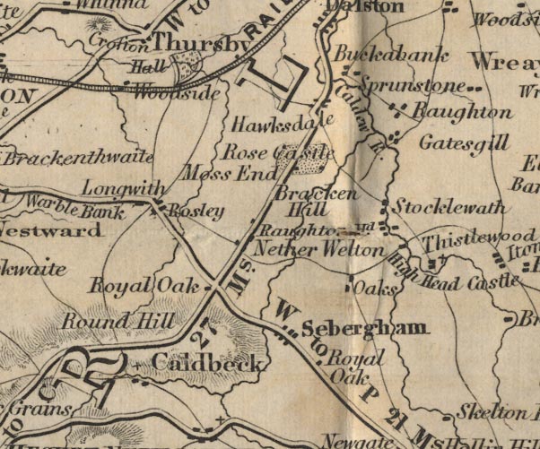
FD02NY34.jpg
"Caldbeck"
item:- JandMN : 100.1
Image © see bottom of page
placename:- Caldbeck
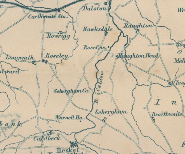
GAR2NY34.jpg
"Caldbeck"
blocks, settlement
item:- JandMN : 82.1
Image © see bottom of page
placename:- Caldbeck
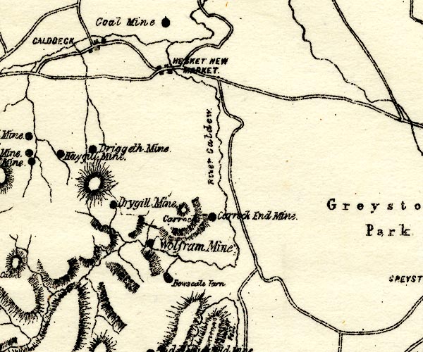
PST2NY33.jpg
"CALDBECK"
dots, roads
item:- JandMN : 162.2
Image © see bottom of page
placename:- Caldbeck
 click to enlarge
POF7Cm.jpg
"Caldbeck"
map date 1909
placename:- Caldbeck
 click to enlarge
PF10Cm.jpg
"Caldbeck"
map date 1892
placename:- Caldbeck
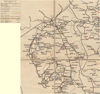 click to enlarge
POF2Cm.jpg
"Caldbeck"
map date 1890
placename:- Caldbeck
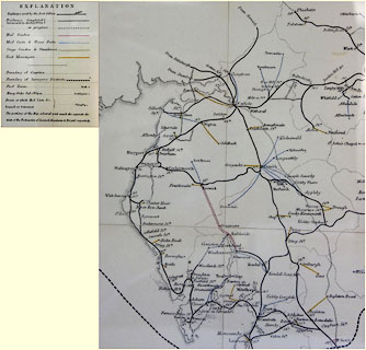 click to enlarge
POF8Cm.jpg
"Caldbeck"
map date 1873
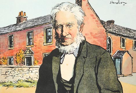 click to enlarge
PR1422.jpg
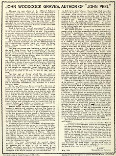
John Woodcock Graves stands in front of a Georgian house in Caldbeck.
signed at top right on print:- "Simpson"
 click to enlarge
PR1423.jpg
text by T Gray about John Woodcock Graves of Caldbeck on reverse of coloured print, by Joseph W Simpson, 1935.
item:- Tullie House Museum : 2009.210.5
Images © Tullie House Museum
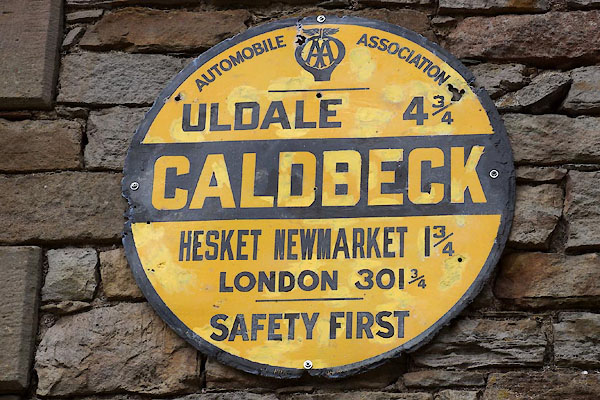
CDY66.jpg AA placename sign,
(taken 18.9.2015)
BOT21.jpg (taken 1.3.2008)
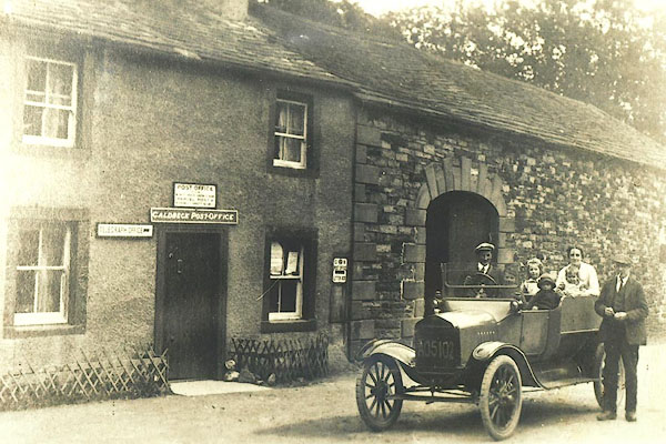
BPU47.jpg Caldbeck Post Office, about 1910.
The motorcar licence number is AO5102, the AO series were issued by Cumberland CC up to 1924.
(taken 7.11.2008) courtesy of the landlord, Oddfellows Arms, Caldbeck
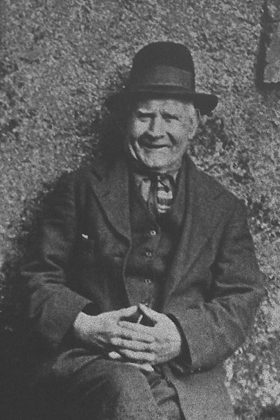
BPU48.jpg Tom Sowerby, handloom weaver, died 1938. He wove with wool from Herdwick Sheep, making the sort of grey cloth as John Peel's coat so grey.
(taken 7.11.2008) courtesy of the landlord, Oddfellows Arms, Caldbeck
 |
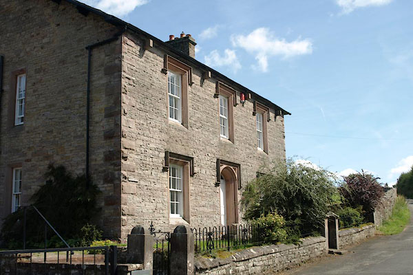
NY32013871 Biggards (Caldbeck) |
 |
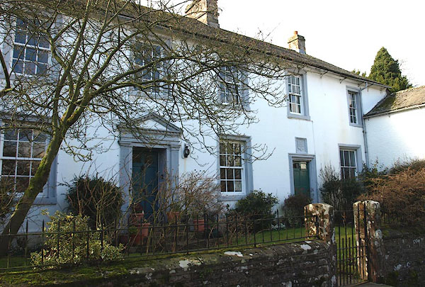
NY32233979 Brewery House (Caldbeck) L |
 |
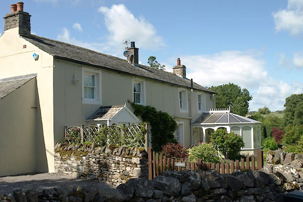
NY32223984 Bridge End House (Caldbeck) L |
 |
NY32103926 Bridge House (Caldbeck) |
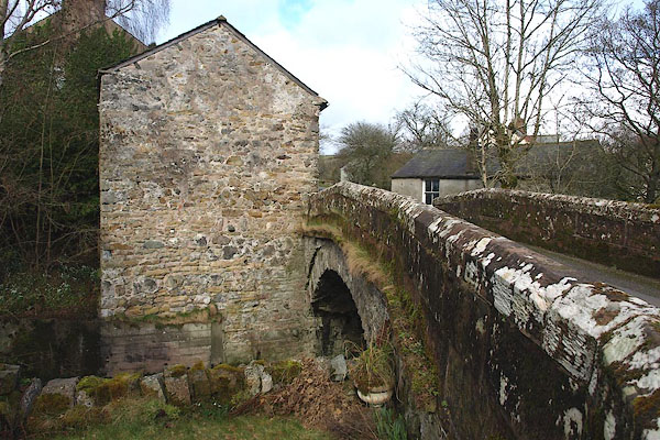 |
NY32223981 bridge, Caldbeck (Caldbeck) |
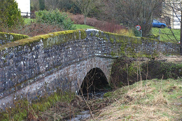 |
NY32143921 bridge, Upton (Caldbeck) |
 |
NY31773952 Bushby House (Caldbeck) |
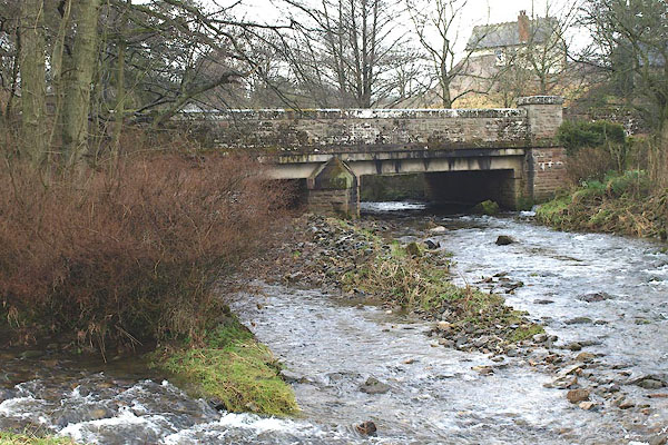 |
NY32353989 Caldbeck Bridges (Caldbeck) |
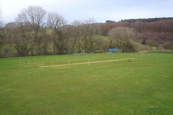 |
NY32643982 Caldbeck Cricket Club (Caldbeck) |
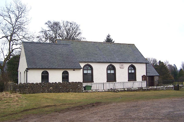 |
NY32194011 Caldbeck Methodist Chapel (Sebergham) |
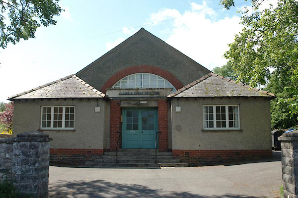 |
NY32033949 Caldbeck Parish Hall (Caldbeck) |
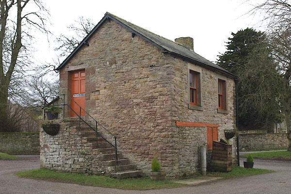 |
NY32043954 Old Map Shop, The (Caldbeck) |
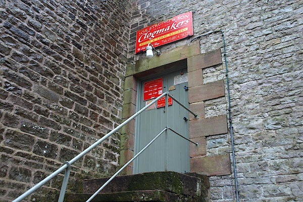 |
NY32353972 Joe Strong and Sons clogmakers (Caldbeck) L |
 |
NY3239 castle, Caldbeck (Caldbeck) suggested |
 |
NY32163944 Cat Crags (Caldbeck) |
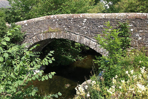 |
NY32513991 Church Bridge (Caldbeck) L |
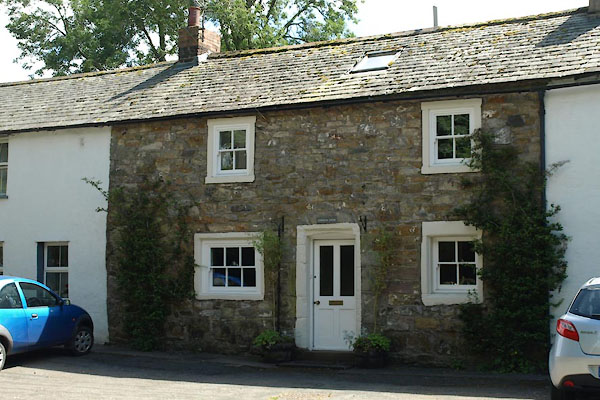 |
NY32523978 Church View (Caldbeck) L |
 |
NY32153988 Dyke Nook (Caldbeck) |
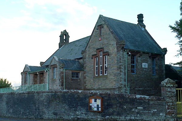 |
NY32083956 Fellview Primary School (Caldbeck) |
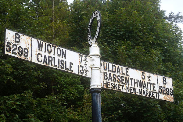 |
NY32273996 fingerpost, Caldbeck (Caldbeck) |
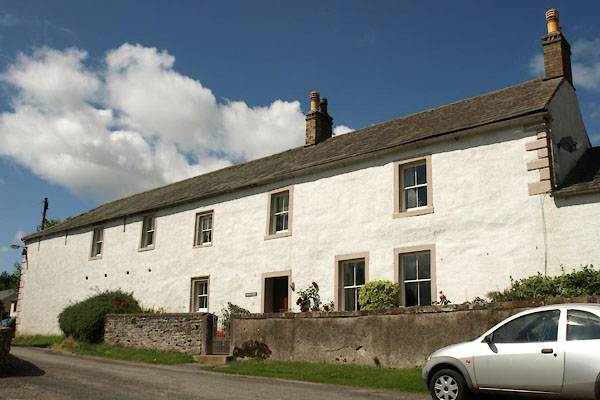 |
NY32463994 Friar Hall (Caldbeck) |
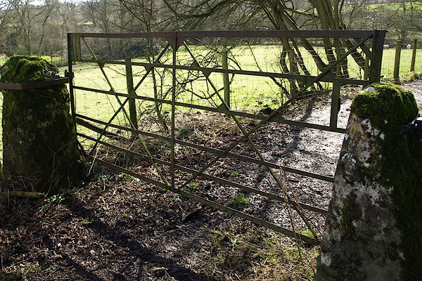 |
NY32143983 gate, Caldbeck (Caldbeck) |
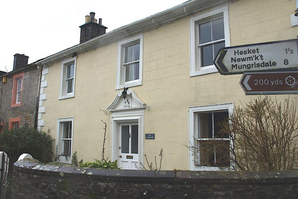 |
NY32373974 Gatehouse, The (Caldbeck) L |
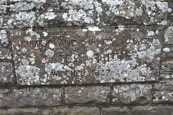 |
NY32333971 Gates Bridge (Caldbeck) |
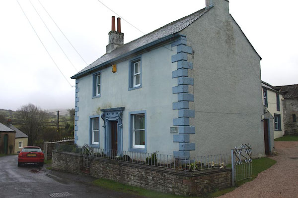 |
NY32073932 Glen View (Caldbeck) L |
 |
NY32154002 Green, The (Caldbeck) |
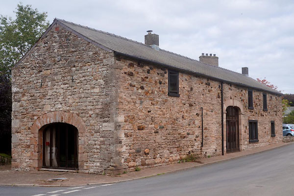 |
NY32383976 Harkness Barn (Caldbeck) L |
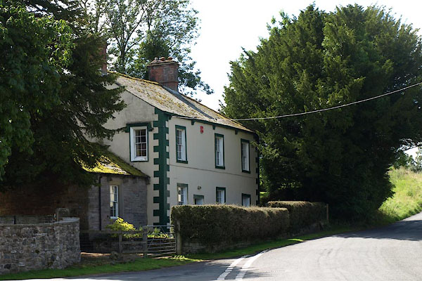 |
NY32043952 Heron Rigg (Caldbeck) |
 |
NY3239 hospital, Caldbeck (Caldbeck) |
 |
NY34503852 Howbeck Bridge (Caldbeck) |
 |
NY31893975 Howk (Caldbeck) |
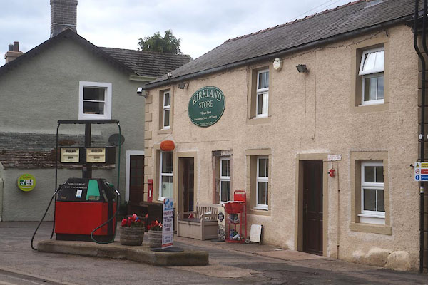 |
NY32463979 Kirkland Store (Caldbeck) |
 |
NY32063910 limekiln, Upton (Caldbeck) |
 |
NY31793950 Maidens' Hill (Caldbeck) |
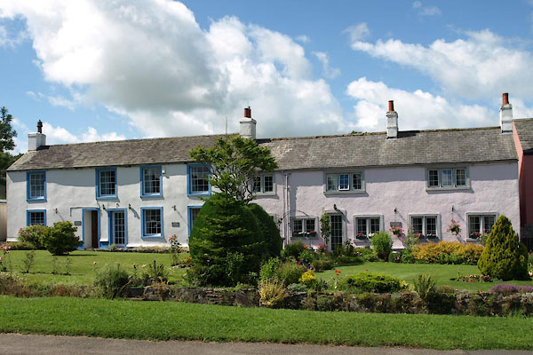 |
NY32413982 Martha's Cottage etc (Caldbeck) |
 |
Mid Cumberland Light Railway (Caldbeck) proposed |
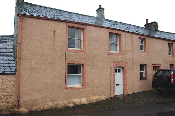 |
NY32413979 Midtown Cottage (Caldbeck) L |
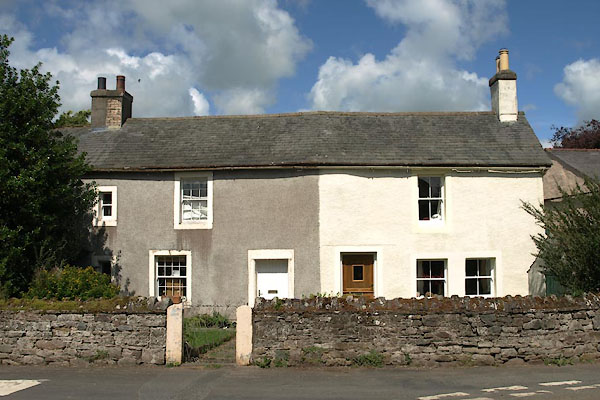 |
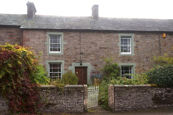
NY32433979 Midtown Cottages (Caldbeck) L |
 |
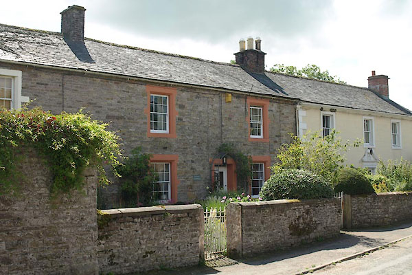
NY32393973 Midtown Farm Cottages (Caldbeck) L |
 |
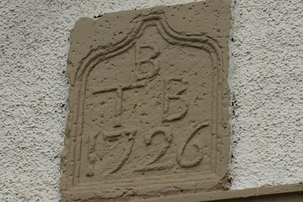
NY32383974 Midtown Farm (Caldbeck) L |
 |
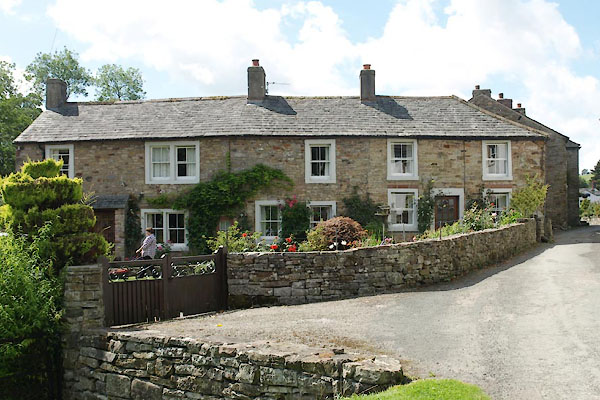
NY32443976 Midtown House, Caldbeck (Caldbeck) |
 |
NY32203979 Mill House (Caldbeck) L |
 |
NY32663990 mill, Caldbeck (Caldbeck) gone |
 |
NY32303958 mill, Caldbeck (2) (Caldbeck) |
 |
NY32573992 Miners Arms Inn (Caldbeck) |
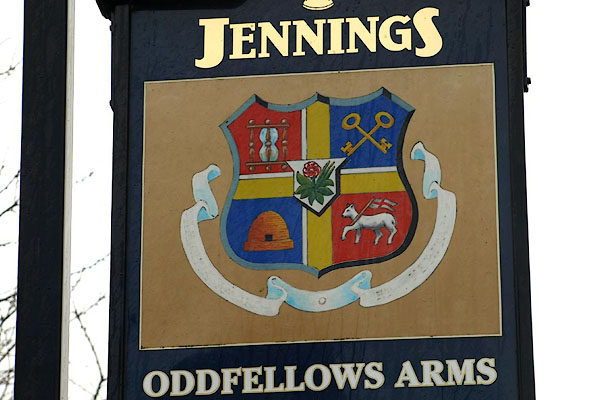 |
NY32393977 Oddfellows Arms (Caldbeck) L |
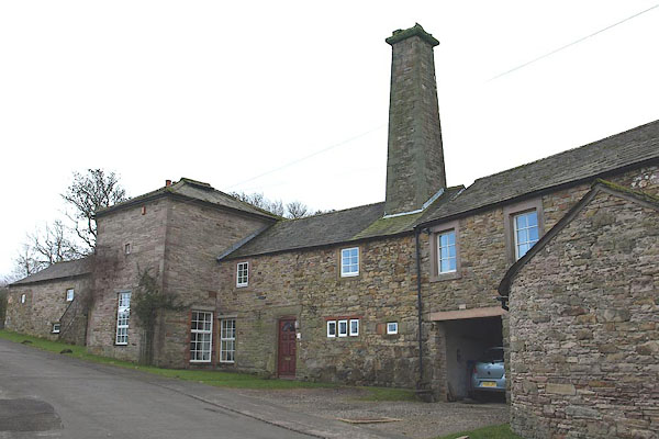 |
NY32223976 Old Brewery (Caldbeck) L |
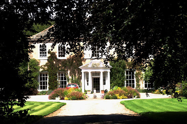 |
NY32503987 Old Rectory (Caldbeck) L |
 |
NY32183921 pinfold, Caldbeck (Caldbeck) gone |
 |
NY32283991 police station, Caldbeck (Caldbeck) |
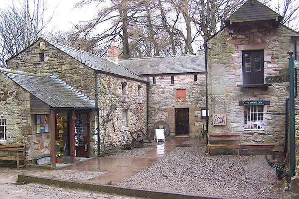 |
NY32613990 Priests Mill (Caldbeck) L |
 |
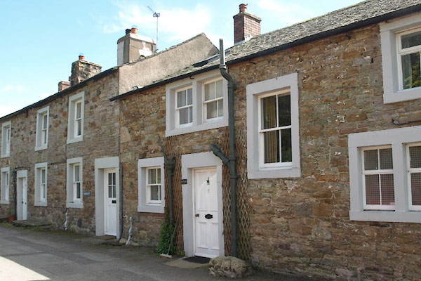
NY32144012 Ratten Row (Caldbeck) |
 |
NY32423993 School House (Caldbeck) |
 |
NY32123903 Smithy Lane (Caldbeck) |
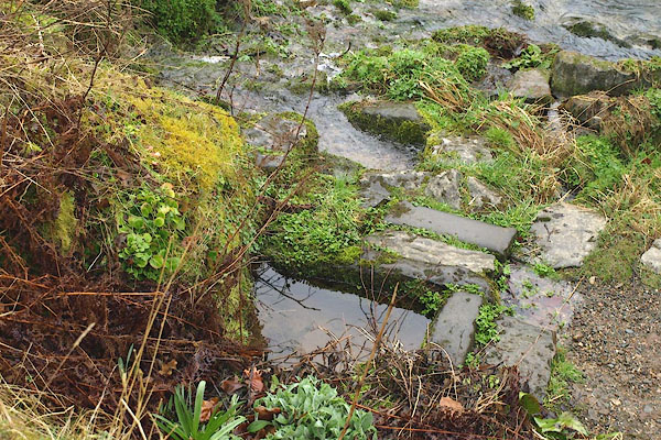 |
NY32513990 St Kentigern's Well (Caldbeck) |
 |
NY31953957 Todcrofts (Caldbeck) L |
 |
NY32163922 Townhead (Caldbeck) |
 |
NY32063923 Upton House (Caldbeck) |
 |
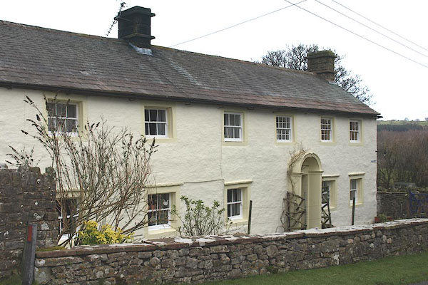
NY32083927 Upton (Caldbeck) |
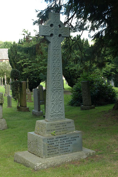 |
NY32523981 war memorial, Caldbeck (Caldbeck) |
 |
NY32103882 Wath (Caldbeck) |
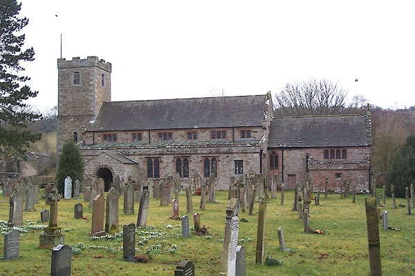 |
NY32543990 St Mungo's Church (Caldbeck) L |
 |
NY32073886 Wath Bridge (Caldbeck) |
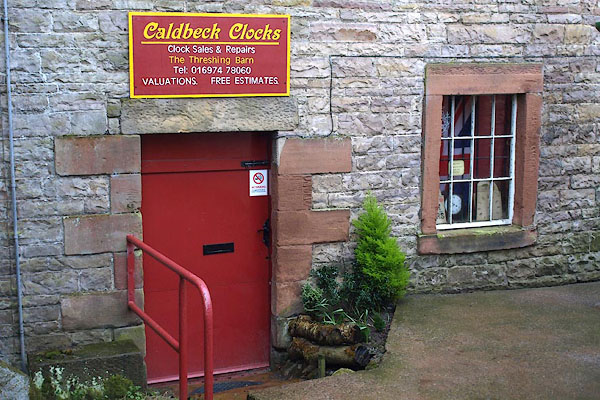 |
NY32353972 Brett Wright clockmaker (Caldbeck) gone |
