 |
 |
|
|
|
|
Howk |
| locality:- |
Caldbeck |
| civil parish:- |
Caldbeck (formerly Cumberland) |
| county:- |
Cumbria |
| locality type:- |
locality |
| locality type:- |
buildings |
| coordinates:- |
NY31893975 (etc) |
| 1Km square:- |
NY3139 |
| 10Km square:- |
NY33 |
|
|
| evidence:- |
old map:- OS County Series (Cmd 37 12)
placename:- Howk
|
| source data:- |
Maps, County Series maps of Great Britain, scales 6 and 25
inches to 1 mile, published by the Ordnance Survey, Southampton,
Hampshire, from about 1863 to 1948.
|
|
|
| places:- |
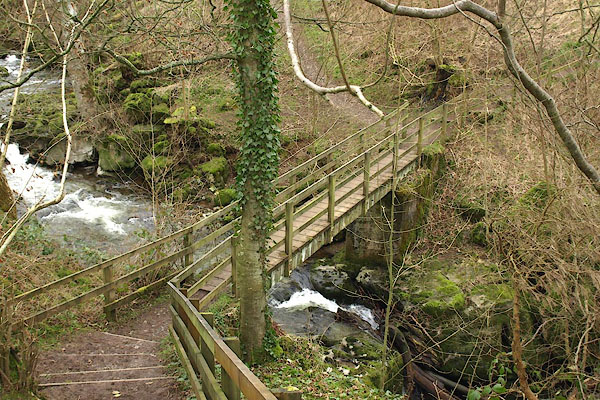 |
NY31833978 Fairy Bridge (Caldbeck) |
|
|
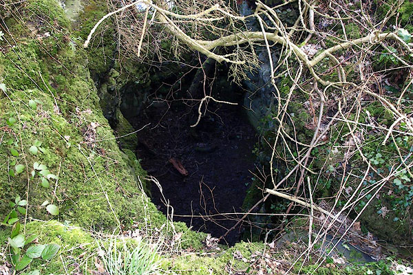 |
NY31863978 Fairy Kettle (Caldbeck) |
|
|
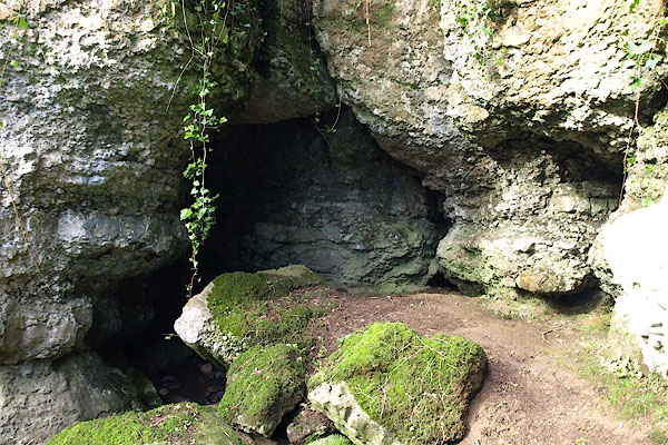 |
NY31863978 Fairy Kirk (Caldbeck) |
|
|
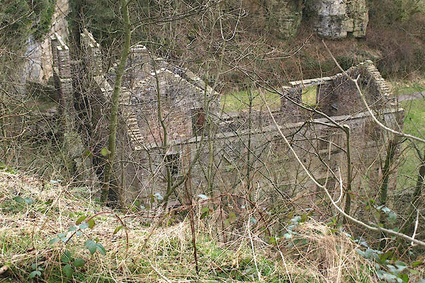 |
NY31923976 Howk Mill (Caldbeck) |
|
|
 |
NY31843977 Howk, The (Caldbeck) |
|

 Lakes Guides menu.