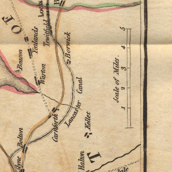
 West 1784 map SD56


|

|
|
|
gazetteer links places may or may not be labelled on the map |
||

|
-- Borwick |
|
|
|
-- Carnforth |
|
|
|
-- Keer, River |
|
|
|
-- Lancaster Canal |
|
|
|
-- Over Kellet |
|
|
|
-- Tewitfield |
|
|
|
-- Warton |
|
|
|
-- Yealand Conyer |
|
|
counties The area includes parts of counties:- Lancashire |
||
|
|
||
|
|
Lakes Guides menu. | |