 |
 |
   |
|
|
|
Borwick |
| county:- |
Lancashire |
| locality type:- |
locality |
| locality type:- |
buildings |
| coordinates:- |
SD52557309 (etc) |
| 1Km square:- |
SD5273 |
| 10Km square:- |
SD57 |
|
|
| evidence:- |
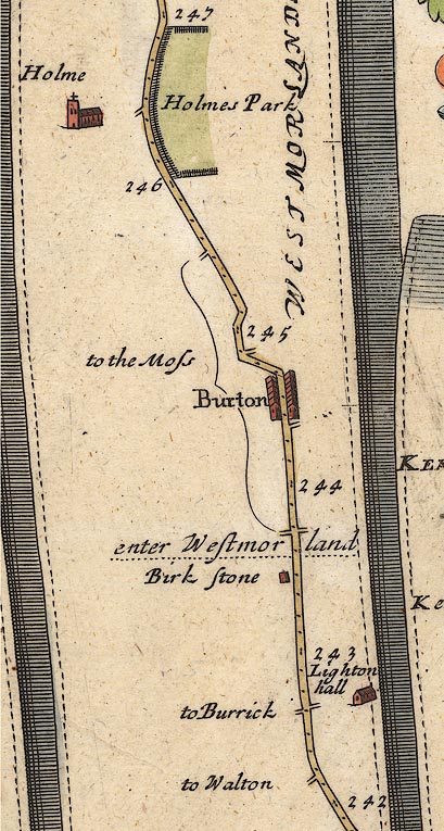
probably old map:- Ogilby 1675 (plate 38)
placename:- Burrick
|
| source data:- |
Road strip map, hand coloured engraving, continuation of the
Road from London to Carlisle, scale about 1 inch to 1 mile, by
John Ogilby, London, 1675.

OG38m242.jpg
In mile 242, Lancashire.
Crossroads, left:- "to Burrick"
item:- JandMN : 21
Image © see bottom of page
|
|
|
| evidence:- |
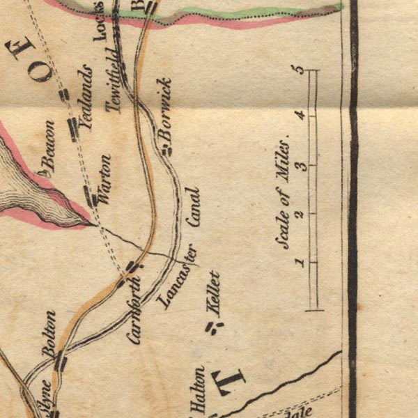
old map:- West 1784 map
placename:- Borwick
|
| source data:- |
Map, hand coloured engraving, A Map of the Lakes in Cumberland,
Westmorland and Lancashire, scale about 3.5 miles to 1 inch,
engraved by Paas, 53 Holborn, London, about 1784.

Ws02SD56.jpg
item:- Armitt Library : A1221.1
Image © see bottom of page
|
|
|
| evidence:- |
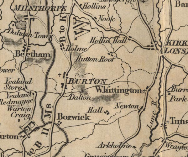
old map:- Ford 1839 map
placename:- Borwick
|
| source data:- |
Map, uncoloured engraving, Map of the Lake District of
Cumberland, Westmoreland and Lancashire, scale about 3.5 miles
to 1 inch, published by Charles Thurnam, Carlisle, and by R
Groombridge, 5 Paternoster Row, London, 3rd edn 1843.

FD02SD57.jpg
"Borwick"
item:- JandMN : 100.1
Image © see bottom of page
|
|
|
| evidence:- |
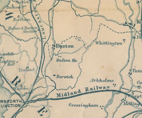
old map:- Garnett 1850s-60s H
placename:- Borwick
|
| source data:- |
Map of the English Lakes, in Cumberland, Westmorland and
Lancashire, scale about 3.5 miles to 1 inch, published by John
Garnett, Windermere, Westmorland, 1850s-60s.

GAR2SD57.jpg
"Borwick"
blocks, settlement
item:- JandMN : 82.1
Image © see bottom of page
|
|
|
| places:- |
 |
SD5372 Borwick Station () |
|
|
 |
Furness and Midland Joint Railway () |
|


