 West 1784 map NY13


|

|
|
|
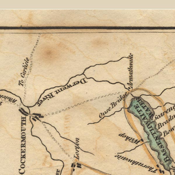
gazetteer links places may or may not be labelled on the map |
||

|
-- Armathwaite Hall |
|
|
|
-- Beck Wythop |
|
|
|
-- Cocker, River |
|
|
|
-- Derwent, River |
|
|
|
-- High Pike |
|
|
|
-- Ouse Bridge |
|
|
|
-- Wythop Beck |
|
|
civil parishes The area roughly includes parts of parishes:- Blindcrake Bridekirk Setmurthy Plumbland Cockermouth Oughterside and Allerby Bewaldeth and Snittlegarth Wythop Papcastle Embleton Brigham Blennerhasset and Torpenhow Gilcrux Bothel and Threapland |
||
|
|
||
|
|
Lakes Guides menu. | |