 |
 |
   |
|
|
| runs into:- |
 Derwent, River Derwent, River |
|
|
|
|
| civil parish:- |
Blindbothel (formerly Cumberland) |
| civil parish:- |
Lorton (formerly Cumberland) |
| civil parish:- |
Embleton (formerly Cumberland) |
| civil parish:- |
Dean (formerly Cumberland) |
| civil parish:- |
Buttermere (formerly Cumberland) |
| civil parish:- |
Loweswater (formerly Cumberland) |
| civil parish:- |
Cockermouth (formerly Cumberland) |
| county:- |
Cumbria |
| locality type:- |
river |
| locality type:- |
flood |
| 1Km square:- |
NY1426 (etc) |
| 10Km square:- |
NY12 |
|
|
|
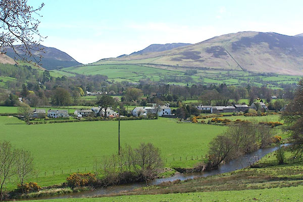
BLZ99.jpg at Low Lorton.
(taken 3.5.2006)
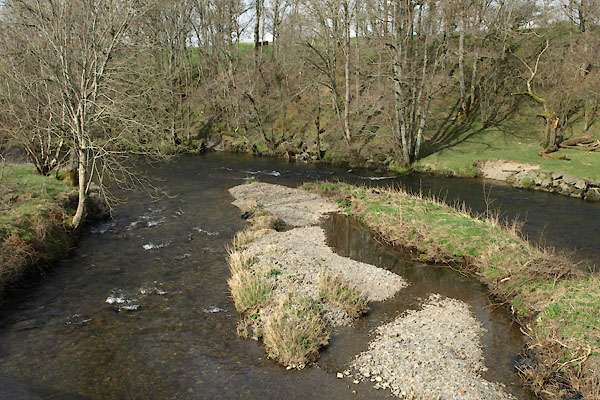
BWC56.jpg At Southwaite Bridge,
(taken 19.3.2012)
|
|
|
| evidence:- |
old map:- OS County Series (Cmd 55 13)
placename:- Cocker, River
|
| source data:- |
Maps, County Series maps of Great Britain, scales 6 and 25
inches to 1 mile, published by the Ordnance Survey, Southampton,
Hampshire, from about 1863 to 1948.
OS County Series (Cmd 63 1)
OS County Series (Cmd 63 9)
|
|
|
| evidence:- |
old map:- Gough 1350s-60s
|
| source data:- |
Map, colour photozincograph copy, reduced size facsimile, Gough
Map of Britain, scale about 28.5 miles to 1 inch, published by
the Ordnance Survey, Southampton, Hampshire, 1875.
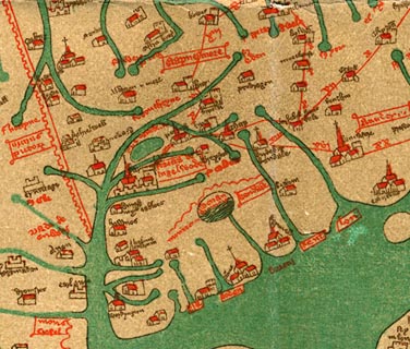 click to enlarge click to enlarge
Ggh1Cm.jpg
Tributary to the Derwent, by Cockermouth.
item:- JandMN : 33
Image © see bottom of page
|
|
|
| evidence:- |
old map:- Gough 1350s-60s
|
| source data:- |
Map, lithograph facsimile, Gough Map of Britain, 20 miles to 1
inch? published by the Ordnance Survey, Southampton, Hampshire,
1935.
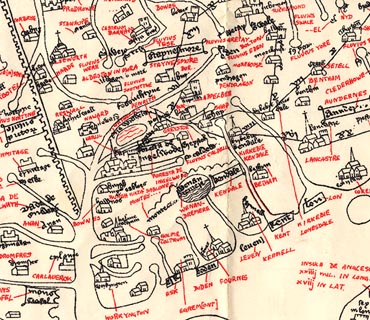 click to enlarge click to enlarge
Ggh2Cm.jpg
Tributary to the Derwent, by Cockermouth.
item:- JandMN : 34
Image © see bottom of page
|
|
|
| evidence:- |
probably old map:- Lloyd 1573
|
| source data:- |
Map, hand coloured copper plate engraving, Angliae Regni,
Kingdom of England, with Wales, scale about 24 miles to 1 inch, authored by Humphrey
Lloyd, Denbigh, Clwyd, drawn and engraved
by Abraham Ortelius, Netherlands, 1573.
 click to enlarge click to enlarge
Lld1Cm.jpg
item:- Hampshire Museums : FA1998.69
Image © see bottom of page
|
|
|
| evidence:- |
old map:- Saxton 1579
placename:- Coker Flu.
|
| source data:- |
Map, hand coloured engraving, Westmorlandiae et Cumberlandiae Comitatus ie Westmorland
and Cumberland, scale about 5 miles to 1 inch, by Christopher Saxton, London, engraved
by Augustinus Ryther, 1576, published 1579-1645.
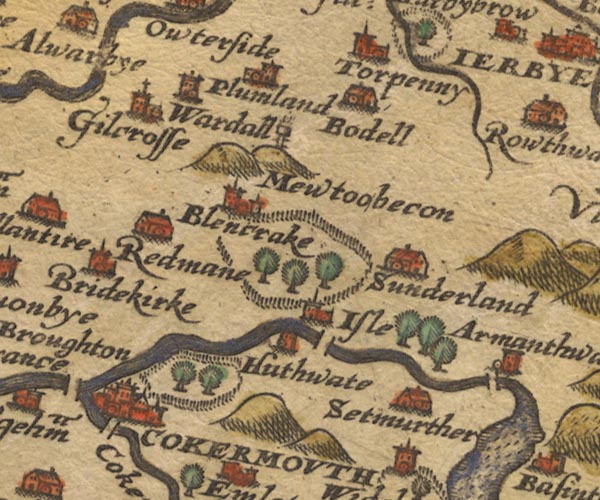
Sax9NY13.jpg
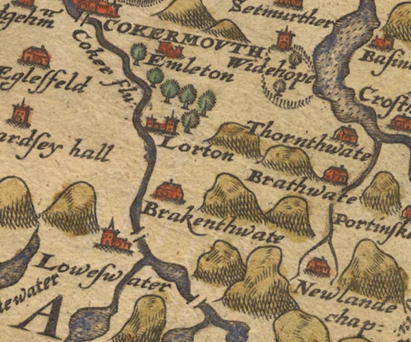
Sax9NY12.jpg
"Coker flu:"
item:- private collection : 2
Image © see bottom of page
|
|
|
| evidence:- |
old map:- Mercator 1595 (edn?)
placename:-
|
| source data:- |
Map, hand coloured engraving, Northumbria, Cumberlandia, et
Dunelmensis Episcopatus, ie Northumberland, Cumberland and
Durham etc, scale about 6.5 miles to 1 inch, by Gerard Mercator,
Duisberg, Germany, about 1595.
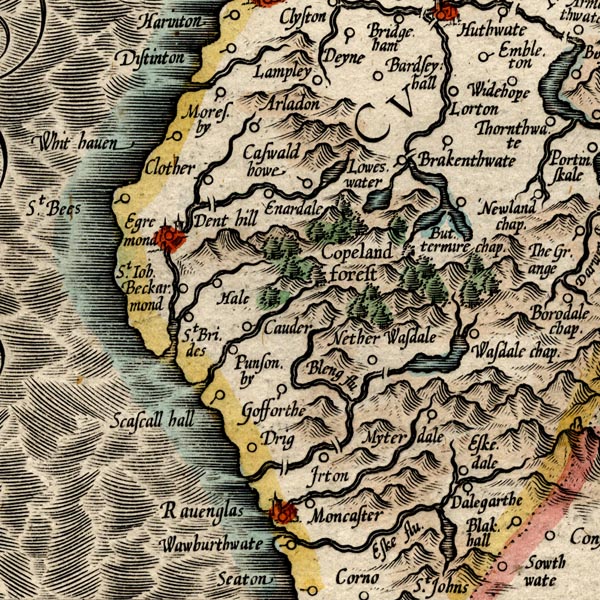
MER8CumE.jpg
""
double line with stream lines; river, running into the Derwent
item:- JandMN : 169
Image © see bottom of page
|
|
|
| evidence:- |
old map:- Speed 1611 (Cmd)
placename:- Coker flu.
|
| source data:- |
Map, hand coloured engraving, Cumberland and the Ancient Citie
Carlile Described, scale about 4 miles to 1 inch, by John Speed,
1610, published by J Sudbury and George Humble, Popes Head
Alley, London, 1611-12.
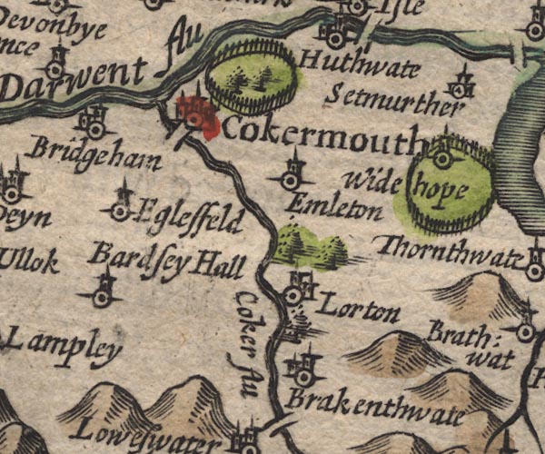
SP11NY12.jpg
"Coker flu"
double line with stream lines, runs into the Derwent
item:- private collection : 16
Image © see bottom of page
|
|
|
| evidence:- |
poem:- Drayton 1612/1622 text
placename:- Coker
|
| source data:- |
Poem, Poly Olbion, by Michael Drayton, published by published by
John Marriott, John Grismand and Thomas Dewe, and others?
London, part 1 1612, part 2 1622.
 goto source goto source
page 165:- "... [Derwent] in her way doth win
Cleere Coker her compeere, which at her comming in,
Gives Coker-mouth the name, by standing at her fall,
Into fair Darwents Banks, when Darwent therewithall,
..."
|
|
|
| evidence:- |
old map:- Drayton 1612/1622
placename:- Cocker Flu.
|
| source data:- |
Map, hand coloured engraving, Cumberlande and Westmorlande, by
Michael Drayton, probably engraved by William Hole, scale about
4 or 5 miles to 1 inch, published by John Mariott, John
Grismand, and Thomas Dewe, London, 1622.
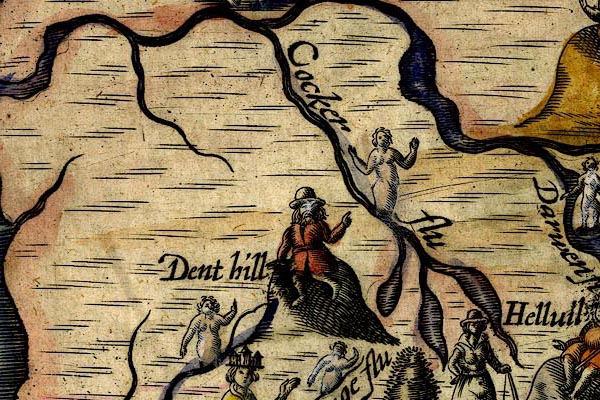
DRY513.jpg
"Cocker flu"
River, naiad.
item:- JandMN : 168
Image © see bottom of page
|
|
|
| evidence:- |
old map:- Jenner 1643
|
| source data:- |
Tables of distances with a maps, Westmerland, scale about 16
miles to 1 inch, and Cumberland, scale about 21 miles to 1 inch,
published by Thomas Jenner, London, 1643; published 1643-80.

JEN4Sq.jpg
wiggly line
|
|
|
| evidence:- |
old map:- Jansson 1646
placename:- Coker Flud
|
| source data:- |
Map, hand coloured engraving, Cumbria and Westmoria, ie
Cumberland and Westmorland, scale about 3.5 miles to 1 inch, by
John Jansson, Amsterdam, Netherlands, 1646.
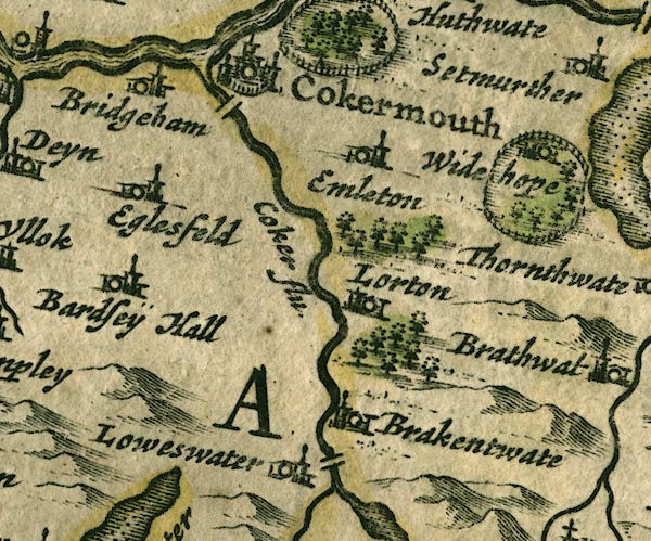
JAN3NY12.jpg
"Coker flu."
Double wiggly line, tapering to single.
item:- JandMN : 88
Image © see bottom of page
|
|
|
| evidence:- |
old map:- Ogilby 1675 (plate 96)
placename:- Coker Fluvius
|
| source data:- |
Road strip map, hand coloured engraving, the Road from Kendal to
Cockermouth, and the Road from Egremond to Carlisle, scale about
1 inch to 1 mile, by John Ogilby, London, 1675.
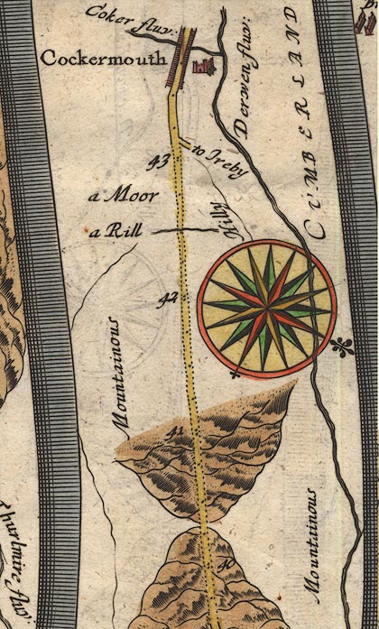
OG96m040.jpg
In mile 43, Cumberland. "Coker fluv:"
River crossed by the road in the middle of Cockermouth, tributary to the Derwent,
no bridge drawn.
item:- JandMN : 22
Image © see bottom of page
|
| source data:- |
Road strip map, hand coloured engraving, the Road from Kendal to
Cockermouth, and the Road from Egremond to Carlisle, scale about
1 inch to 1 mile, by John Ogilby, London, 1675.
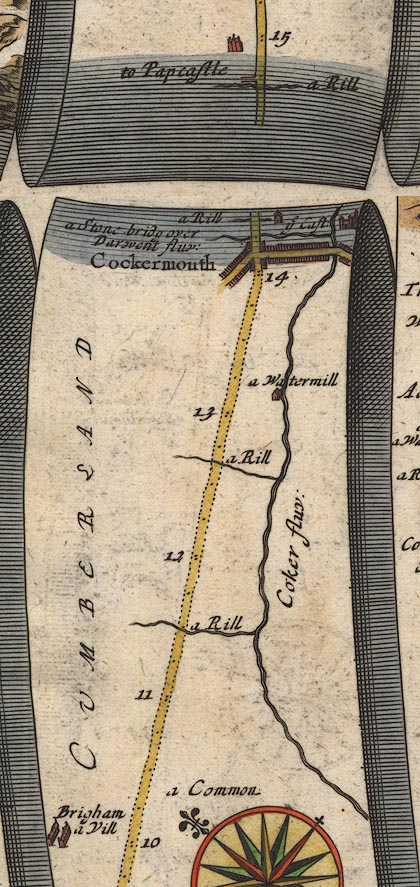
OG96Bm10.jpg
In miles 10 to 14, Cumberland. "Coker fluv:"
river alongside the right of the road for 4 miles.
item:- JandMN : 22
Image © see bottom of page
|
|
|
| evidence:- |
old map:- Sanson 1679
placename:- Coker fl.
|
| source data:- |
Map, hand coloured engraving, Ancien Royaume de Northumberland
aujourdhuy Provinces de Nort, ie the Ancient Kingdom of
Northumberland or the Northern Provinces, scale about 9.5 miles
to 1 inch, by Nicholas Sanson, Paris, France, 1679.
 click to enlarge click to enlarge
SAN2Cm.jpg
"Coker fl."
tapering wiggly line; river
item:- Dove Cottage : 2007.38.15
Image © see bottom of page
|
|
|
| evidence:- |
old map:- Seller 1694 (Cmd)
|
| source data:- |
Map, uncoloured engraving, Cumberland, scale about 12 miles to 1
inch, by John Seller, 1694.
 click to enlarge click to enlarge
SEL9.jpg
tapering wiggly line; river
item:- Dove Cottage : 2007.38.89
Image © see bottom of page
|
|
|
| evidence:- |
old map:- Morden 1695 (Cmd)
placename:- Cocker River
|
| source data:- |
Map, uncoloured engraving, Cumberland, scale about 4 miles to 1
inch, by Robert Morden, 1695, published by Abel Swale, the
Unicorn, St Paul's Churchyard, Awnsham, and John Churchill, the
Black Swan, Paternoster Row, London, 1695-1715.
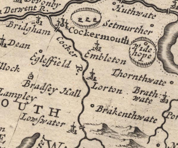
MD12NY12.jpg
"Cocker R."
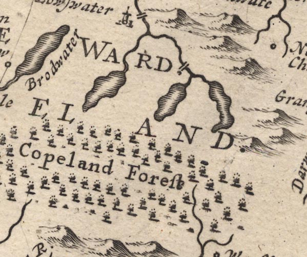
MD12NY11.jpg
item:- JandMN : 90
Image © see bottom of page
|
|
|
| evidence:- |
old map:- Bowen 1720 (plate 261)
placename:- Cocker Flu.
|
| source data:- |
Road strip map, uncoloured engraving, pl.261, the end of the
road from Kendal to Cockermouth and the road from Egremont to
Carlisle, scale about 2 miles to 1 inch, published by Emanuel
Bowen, St Katherines, London, 1720.
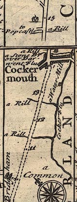
B261m10.jpg
At mile 11-14 on right.
item:- Dove Cottage : Lowther.36
Image © see bottom of page
|
|
|
| evidence:- |
old map:- Badeslade 1742
placename:- Coker River
|
| source data:- |
Map, uncoloured engraving, A Map of Cumberland North from
London, scale about 11 miles to 1 inch, with descriptive text,
by Thomas Badeslade, London, engraved and published by William
Henry Toms, Union Court, Holborn, London, 1742.
 click to enlarge click to enlarge
BD10.jpg
"Coker R."
tapering wiggly line
item:- JandMN : 115
Image © see bottom of page
|
|
|
| evidence:- |
old map:- Gents Mag 1751
placename:- Cocker River
|
| source data:- |
Map, uncoloured engraving, Map of the Black Lead Mines in
Cumberland, and area, scale about 2 miles to 1 inch, by George
Smith, published in the Gentleman's Magazine, 1751.
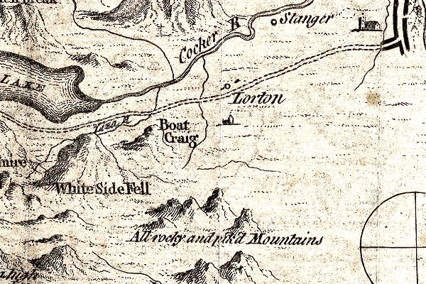
GM1307.jpg
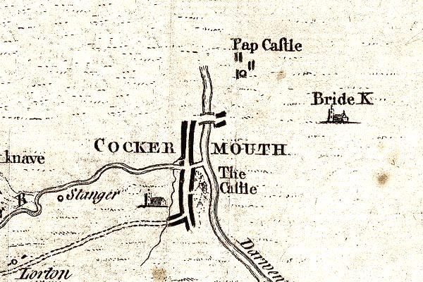
GM1304.jpg
"Cocker R"
tapering wiggly line; river
item:- JandMN : 114
Image © see bottom of page
|
|
|
| evidence:- |
old map:- Bowen and Kitchin 1760
placename:- Cocker River
|
| source data:- |
Map, hand coloured engraving, A New Map of the Counties of
Cumberland and Westmoreland Divided into their Respective Wards,
scale about 4 miles to 1 inch, by Emanuel Bowen and Thomas
Kitchin et al, published by T Bowles, Robert Sayer, and John
Bowles, London, 1760.
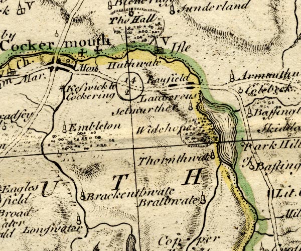
BO18NY12.jpg
"[Cocker R.]"
wiggly line, into the Derwent
item:- Armitt Library : 2008.14.10
Image © see bottom of page
|
|
|
| evidence:- |
old map:- Donald 1774 (Cmd)
|
| source data:- |
Map, hand coloured engraving, 3x2 sheets, The County of Cumberland, scale about 1
inch to 1 mile, by Thomas Donald, engraved and published by Joseph Hodskinson, 29
Arundel Street, Strand, London, 1774.
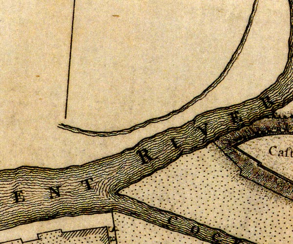
D41230E.jpg
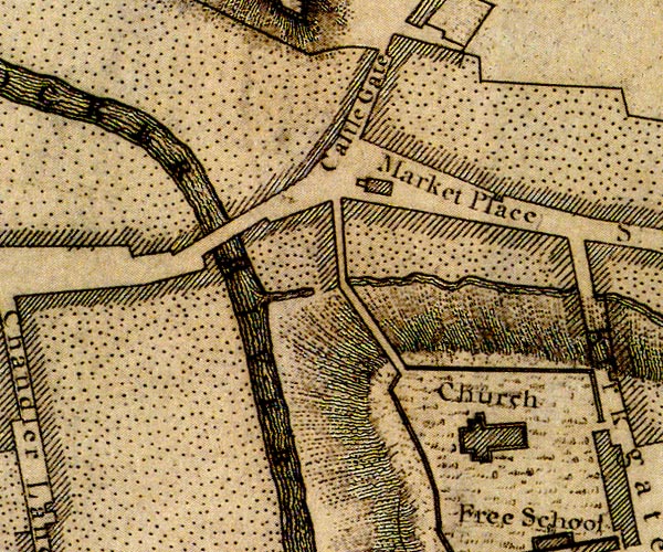
D41230I.jpg
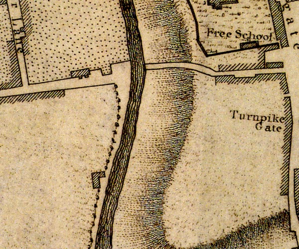
D41230H.jpg
river, into the Derwent
item:- Carlisle Library : Map 2
Images © Carlisle Library |
|
|
| evidence:- |
old map:- Donald 1774 (Cmd)
|
| source data:- |
Map, hand coloured engraving, 3x2 sheets, The County of Cumberland, scale about 1
inch to 1 mile, by Thomas Donald, engraved and published by Joseph Hodskinson, 29
Arundel Street, Strand, London, 1774.
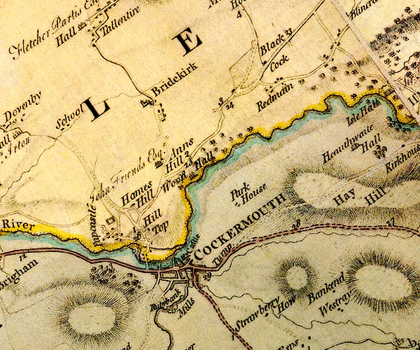
D4NY13SW.jpg
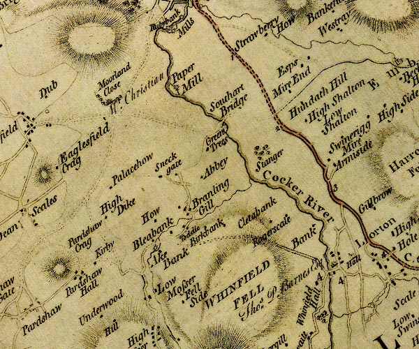
D4NY12NW.jpg
"Cocker River"
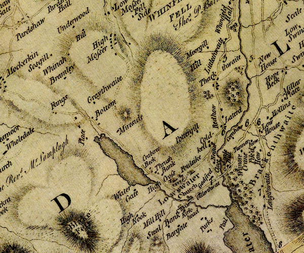
D4NY12SW.jpg
single or double wiggly line; a river into the Derwent
item:- Carlisle Library : Map 2
Images © Carlisle Library |
|
|
| evidence:- |
old map:- Donald 1774 (Cmd)
|
| source data:- |
Map, hand coloured engraving, 3x2 sheets, The County of Cumberland, scale about 1
inch to 1 mile, by Thomas Donald, engraved and published by Joseph Hodskinson, 29
Arundel Street, Strand, London, 1774.

D41230E.jpg

D41230I.jpg

D41230H.jpg
river, into the Derwent
item:- Carlisle Library : Map 2
Images © Carlisle Library |
|
|
| evidence:- |
old map:- Donald 1774 (Cmd)
|
| source data:- |
Map, hand coloured engraving, 3x2 sheets, The County of Cumberland, scale about 1
inch to 1 mile, by Thomas Donald, engraved and published by Joseph Hodskinson, 29
Arundel Street, Strand, London, 1774.

D4NY13SW.jpg

D4NY12NW.jpg
"Cocker River"

D4NY12SW.jpg
single or double wiggly line; a river into the Derwent
item:- Carlisle Library : Map 2
Images © Carlisle Library |
|
|
| evidence:- |
descriptive text:- West 1778 (11th edn 1821)
|
| source data:- |
Guide book, A Guide to the Lakes, by Thomas West, published by
William Pennington, Kendal, Cumbria once Westmorland, and in
London, 1778 to 1821.
 goto source goto source
Page 139:- "..."
"... The outlet [of crummock Water] is at the north-east corner, by the river Cocker,
..."
"..."
 goto source goto source
Page 142:- "... The river Cocker is seen winding through a beautiful and rich cultivated vale,
spreading far to the north, variegated with woods, groves, and hanging grounds, in
every pleasing variety. ..."
|
|
|
| evidence:- |
old map:- Crosthwaite 1783-94 (But/Cru/Low)
placename:- Cocker River
|
| source data:- |
Map, uncoloured engraving, An Accurate Map of Buttermere,
Crummock and Loweswater Lakes, scale about 3 inches to 1 mile,
by Peter Crosthwaite, Keswick, Cumberland, 1794, version
published 1800.
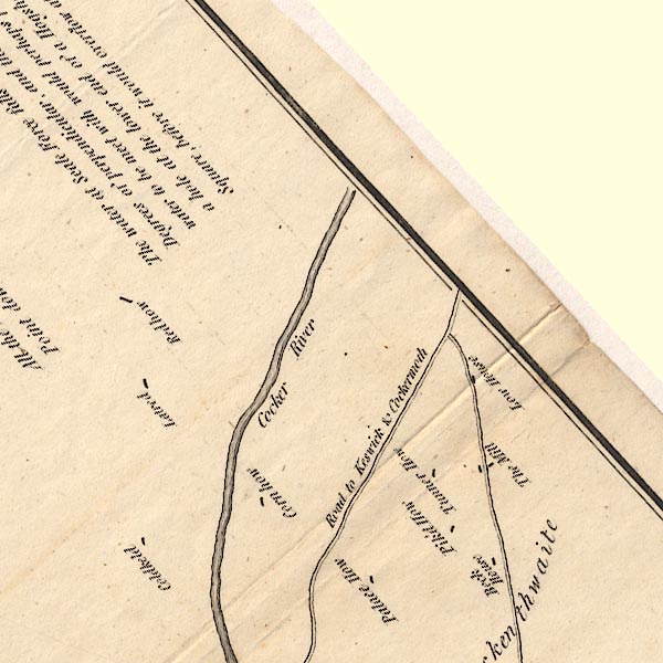
CT8NY12L.jpg
"Cocker River"
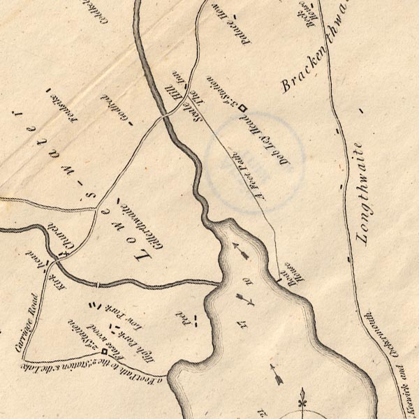
CT8NY12K.jpg
item:- Armitt Library : 1959.191.2
Image © see bottom of page
|
|
|
| evidence:- |
old map:- West 1784 map
placename:- Cocker River
|
| source data:- |
Map, hand coloured engraving, A Map of the Lakes in Cumberland,
Westmorland and Lancashire, scale about 3.5 miles to 1 inch,
engraved by Paas, 53 Holborn, London, about 1784.
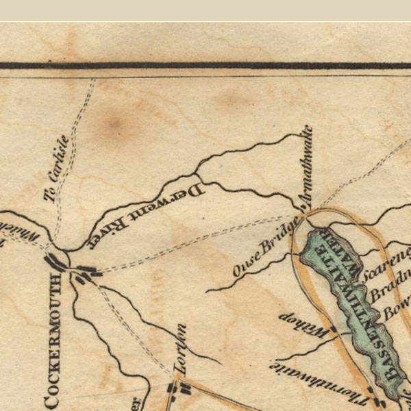
Ws02NY13.jpg
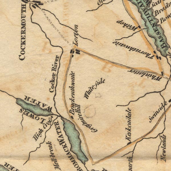
Ws02NY12.jpg
item:- Armitt Library : A1221.1
Image © see bottom of page
|
|
|
| evidence:- |
old text:- Camden 1789
placename:- Cokar, River
|
| source data:- |
Book, Britannia, or A Chorographical Description of the Flourishing Kingdoms of England,
Scotland, and Ireland, by William Camden, 1586, translated from the 1607 Latin edition
by Richard Gough, published London, 1789.
 goto source goto source
Page 170:- "..."
"... the Derwent ... to meet the Cokar. These two rivers at their confluence almost
surround Cokarmouth, ..."
|
|
|
| evidence:- |
old map:- Aikin 1790 (Cmd)
placename:- Cocker River
|
| source data:- |
Map, uncoloured engraving, Cumberland, by John Aikin, London,
1790.
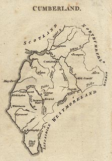 click to enlarge click to enlarge
AIK3.jpg
"Cocker R."
river
item:- JandMN : 145
Image © see bottom of page
|
|
|
| evidence:- |
road book:- Cary 1798 (2nd edn 1802)
placename:- Cocker, River
|
| source data:- |
Road book, itineraries, Cary's New Itinerary, by John Cary, 181
Strand, London, 2nd edn 1802.
 goto source goto source
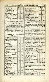 click to enlarge click to enlarge
C38317.jpg
page 317-318 "Cross the River Cocker."
and again
item:- JandMN : 228.1
Image © see bottom of page
|
|
|
| evidence:- |
old map:- Cooke 1802
placename:- Cocker River
|
| source data:- |
Map, Cumberland, scale about 15.5 miles to 1 inch, by George
Cooke, 1802, bound in Gray's New Book of Roads, 1824, published
by Sherwood, Jones and Co, Paternoster Road, London, 1824.
 click to enlarge click to enlarge
GRA1Cd.jpg
"Cocker R."
tapering wiggly line; river
item:- Hampshire Museums : FA2000.62.2
Image © see bottom of page
|
|
|
| evidence:- |
old map:- Cooke 1802
placename:- Cocker River
|
| source data:- |
Map, The Lakes, Westmorland and Cumberland, scale about 8.5
miles to 1 inch, engravedby Neele and Son, published by
Sherwood, Jones and Co, Paternoster Road, London, 1824.
 click to enlarge click to enlarge
GRA1Lk.jpg
"Cocker R."
tapering wiggly line; river
item:- Hampshire Museums : FA2000.62.5
Image © see bottom of page
|
|
|
| evidence:- |
old map:- Laurie and Whittle 1806
placename:- Cocker River
|
| source data:- |
Road map, Completion of the Roads to the Lakes, scale about 10
miles to 1 inch, by Nathaniel Coltman? 1806, published by Robert
H Laurie, 53 Fleet Street, London, 1834.
 click to enlarge click to enlarge
Lw18.jpg
"Cocker R."
river
item:- private collection : 18.18
Image © see bottom of page
|
|
|
| evidence:- |
old map:- Cooper 1808
placename:- Cocker River
|
| source data:- |
Map, uncoloured engraving, Cumberland, scale about 10.5 miles to
1 inch, drawn and engraved by Cooper, published by R Phillips,
Bridge Street, Blackfriars, London, 1808.
 click to enlarge click to enlarge
COP3.jpg
"Cocker R."
tapering wiggly line; river
item:- JandMN : 86
Image © see bottom of page
|
|
|
| evidence:- |
old map:- Otley 1818
placename:- Cocker River
|
| source data:- |
Map, uncoloured engraving, The District of the Lakes,
Cumberland, Westmorland, and Lancashire, scale about 4 miles to
1 inch, by Jonathan Otley, 1818, engraved by J and G Menzies,
Edinburgh, Scotland, published by Jonathan Otley, Keswick,
Cumberland, et al, 1833.
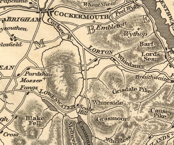
OT02NY12.jpg
"Cocker R."
item:- JandMN : 48.1
Image © see bottom of page
|
|
|
| evidence:- |
old map:- Hall 1820 (Cmd)
|
| source data:- |
Map, hand coloured engraving, Cumberland, scale about 21 miles
to 1 inch, engraved by Sidney Hall, published by S Leigh, 18
Strand, London, 1820-31.
 click to enlarge click to enlarge
HA14.jpg
tapering wiggly line; river
item:- JandMN : 91
Image © see bottom of page
|
|
|
| evidence:- |
descriptive text:- Otley 1823 (5th edn 1834)
|
| source data:- |
Guide book, A Concise Description of the English Lakes, the
mountains in their vicinity, and the roads by which they may be
visited, with remarks on the mineralogy and geology of the
district, by Jonathan Otley, published by the author, Keswick,
Cumberland now Cumbria, by J Richardson, London, and by Arthur
Foster, Kirkby Lonsdale, Cumbria, 1823; published 1823-49,
latterly as the Descriptive Guide to the English Lakes.
 goto source goto source
Page 40:- "... The water issuing from Buttermere, Crummock, and Lowes Water, forms the river Cocker, which falls into the Derwent at the town named, from this circumstance, Cockermouth. ..."
|
|
|
| evidence:- |
old map:- Garnett 1850s-60s H
placename:- Cocker, River
|
| source data:- |
Map of the English Lakes, in Cumberland, Westmorland and
Lancashire, scale about 3.5 miles to 1 inch, published by John
Garnett, Windermere, Westmorland, 1850s-60s.
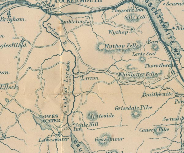
GAR2NY12.jpg
"Cocker R."
wiggly line, river
item:- JandMN : 82.1
Image © see bottom of page
|
|
|
| evidence:- |
old text:- Martineau 1855
item:- flood, 1760
|
| source data:- |
Guide book, A Complete Guide to the English Lakes, by Harriet
Martineau, published by John Garnett, Windermere, Westmorland,
and by Whittaker and Co, London, 1855; published 1855-76.
 goto source goto source
Page 131:- "... The most tremendous waterspout remembered in the region of the lakes, descended
the ravine between Grassmoor and Whiteside, in 1760. It swept the whole side of Grassmoor
at midnight, and carried down everything that was lying loose all through the vale
below, and"
 goto source goto source
Page 132:- "... The end of the matter was, that the flood poured into the Cocker, which rose so
as to lay the whole south-western plain under water for a considerable time. ..."
 goto source goto source
Page 133:- "[Honister Pass]... is a vast stony valley, ... There are no bridges over the stream
(the infant Cocker), which must be crossed many times; and where there are no stepping-stones,
the pedestrian must wade. ..."
|
|
|
| evidence:- |
old print:- Pyne 1853
|
| source data:- |
Drawn by James Barker Pyne, 1848-1853, lithographed by T Picken, 1859.
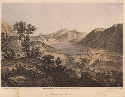 click to enlarge click to enlarge
PY18.jpg
"Crummock Water"
item:- JandMN : 97.17
Image © see bottom of page
|
|
|
|
BWC57.jpg At Southwaite Bridge,
(taken 19.3.2012)
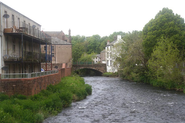
CGD21.jpg Cockermouth.
(taken 19.5.2017)
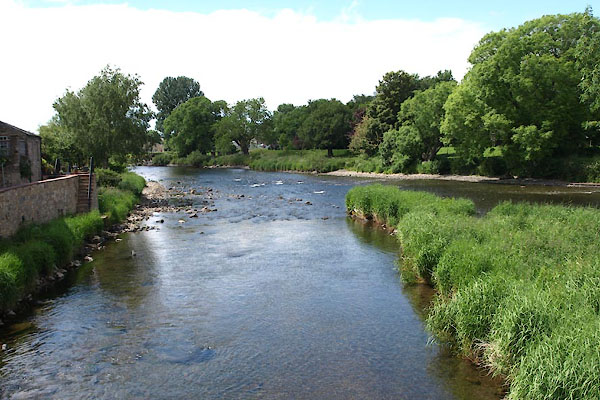
BYP40.jpg Below Waterloo Bridge, meeting the Derwent.
(taken 21.6.2013)
|
|
|
| places:- |
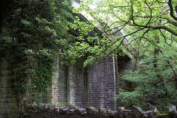 |
NY12223029 bridge, Cockermouth (Cockermouth) |
|
|
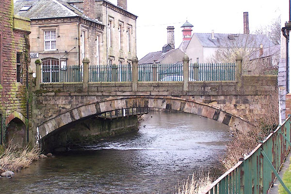 |
NY12233072 Cocker Bridge (Cockermouth) L |
|
|
 |
NY15002238 Cornhow Dubs (Loweswater / Buttermere) |
|
|
 |
NY11882986 Double Mills (Cockermouth) L |
|
|
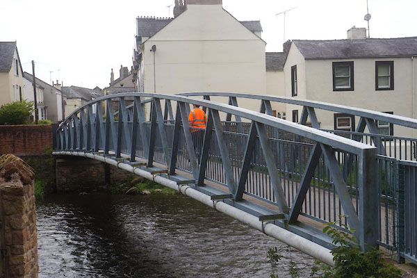 |
NY12273056 footbridge, Cockermouth (Cockermouth) |
|
|
 |
NY15152563 Lorton Low Mill (Blindbothel) |
|
|
 |
NY15242275 Piper Dub (Buttermere / Loweswater) |
|
|
 |
NY12233027 railway bridge, Cockermouth (Cockermouth) |
|
|
 |
NY13072808 Rake, The (Embleton / Blindbothel) |
|
|
 |
NY12153012 Rubbybanks Mill (Cockermouth) |
|
|
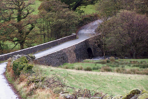 |
NY14862148 Scalehill Bridge (Loweswater / Buttermere) |
|
|
 |
NY12092884 Simonscales Mill (Cockermouth) |
|
|
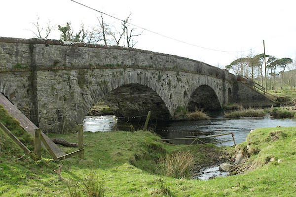 |
NY13092835 Southwaite Bridge (Dean / Embleton) |
|
|
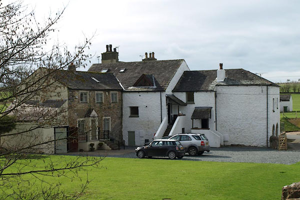 |
NY13002834 Southwaite Mill (Dean) |
|
|
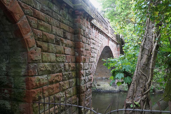 |
NY12253035 Victoria Bridge (Cockermouth) |
|
|
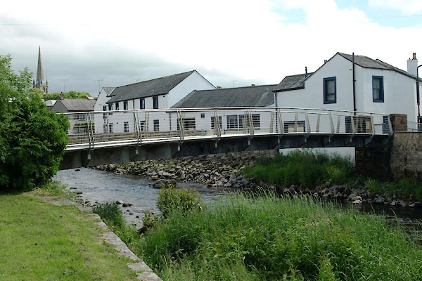 |
NY12073081 Waterloo Bridge (Cockermouth) |
|
|
 |
NY11932987 Wood Mill (Cockermouth) |
|
|
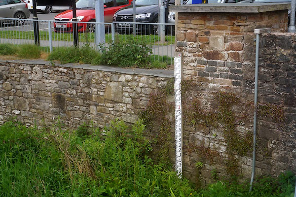 |
NY12293057 South Street Flood Warning Station (Cockermouth) |
|
|
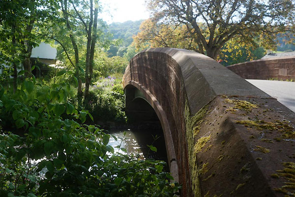 |
NY15182564 Lorton Low Bridge (Lorton / Blindbothel) L |
|


 Derwent, River

 click to enlarge
 click to enlarge
 click to enlarge


 goto source


 click to enlarge
 click to enlarge


 click to enlarge


 goto source
 goto source


 goto source
 click to enlarge
 goto source
 click to enlarge
 click to enlarge
 click to enlarge
 click to enlarge
 click to enlarge
 click to enlarge
 goto source
 goto source
 goto source
 goto source
 click to enlarge


