Old Cumbria Gazetteer
 |
 |
|
||
| Wythop Beck | ||||
| runs into:- |  Dubwath Beck Dubwath Beck |
|||
|
|
||||
| civil parish:- | Wythop (formerly Cumberland) | |||
| civil parish:- | Embleton (formerly Cumberland) | |||
| county:- | Cumbria | |||
| locality type:- | river | |||
| 1Km square:- | NY1829 (etc) | |||
| 10Km square:- | NY12 | |||
|
|
||||
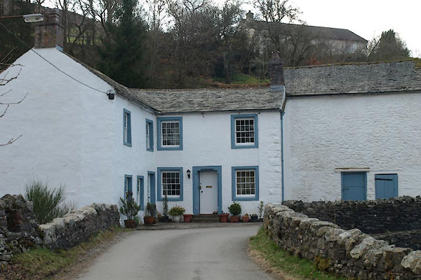
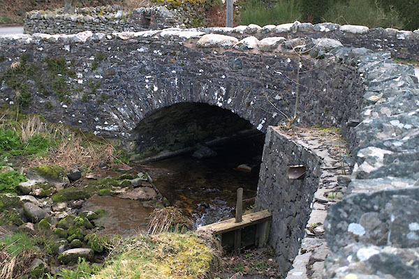
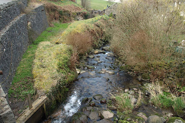 BUG96.jpg At Wythop Mill, (taken 28.3.2011) 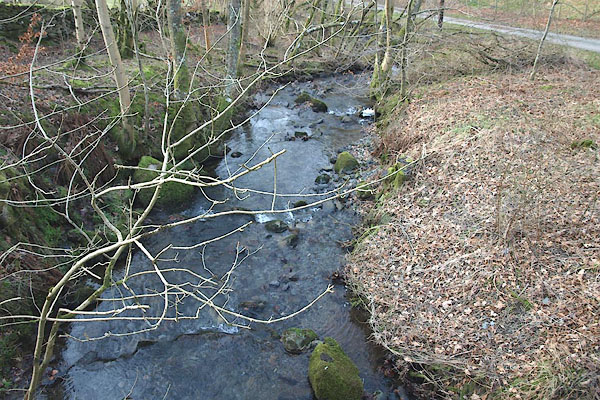 BOQ89.jpg At Brumston Bridge. (taken 13.2.2008) |
||||
|
|
||||
| evidence:- | old map:- OS County Series (Cmd 55 6) placename:- Wythop Beck |
|||
| source data:- | Maps, County Series maps of Great Britain, scales 6 and 25
inches to 1 mile, published by the Ordnance Survey, Southampton,
Hampshire, from about 1863 to 1948. |
|||
|
|
||||
| evidence:- | old map:- West 1784 map |
|||
| source data:- | Map, hand coloured engraving, A Map of the Lakes in Cumberland,
Westmorland and Lancashire, scale about 3.5 miles to 1 inch,
engraved by Paas, 53 Holborn, London, about 1784.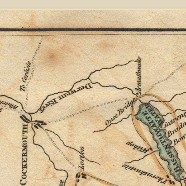 Ws02NY13.jpg item:- Armitt Library : A1221.1 Image © see bottom of page |
|||
|
|
||||
| places:- |
|
|||
|
||||
|
||||
|
||||
Lakes Guides menu.