 Saxton 1576 SD67


|

|
|
|
gazetteer links places may or may not be labelled on the map |
||

|
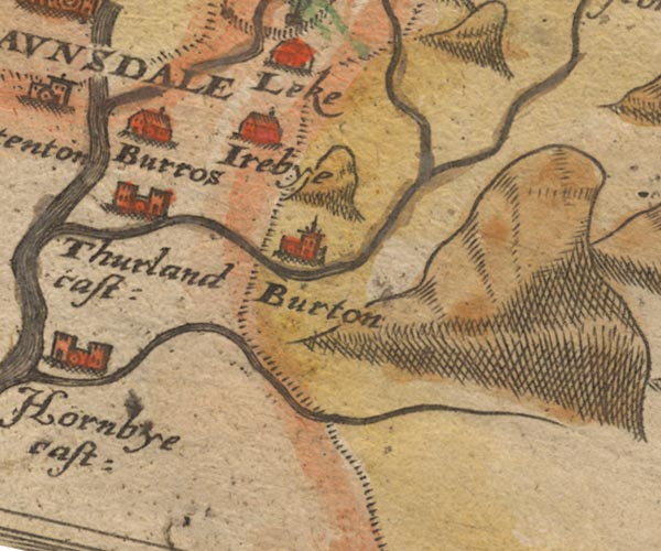
-- Burton in Lonsdale -- "Burton" |
|
|
|
-- Doe, River |
|
|
|
-- Ingleborough |
|
|
|
-- Ireby -- "Irebye" |
|
|
|
-- Kingsdale Beck |
|
|
|
-- Leck Beck |
|
|
|
-- Leck -- "Leke" |
|
|
|
-- Nether Burrow -- "Burros" |
|
|
|
-- Over Burrow -- "Burros" |
|
|
|
-- Thurland Castle -- "Thurland cast:" |
|
|
|
-- Twiss, River |
|
|
civil parishes The area roughly includes parts of parishes:- Kirkby Lonsdale Casterton |
||
|
|
||
|
|
Lakes Guides menu. | |