 Old Cumbria Gazetteer
 |
 |
|
| Nether Burrow, Lancashire | ||
| Nether Burrow | ||
| county:- | Lancashire | |
| locality type:- | buildings | |
| coordinates:- | SD613753 | |
| 1Km square:- | SD6175 | |
| 10Km square:- | SD67 | |
|
|
||
| evidence:- | old map:- Saxton 1579 placename:- Burros |
|
| source data:- | Map, hand coloured engraving, Westmorlandiae et Cumberlandiae Comitatus ie Westmorland
and Cumberland, scale about 5 miles to 1 inch, by Christopher Saxton, London, engraved
by Augustinus Ryther, 1576, published 1579-1645.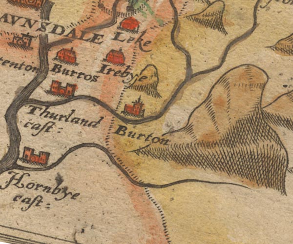 Sax9SD67.jpg Building, symbol for a hamlet, which may or may not have a nucleus. "Burros" item:- private collection : 2 Image © see bottom of page |
|
|
|
||
 Lakes Guides menu.