 Geological Map of the Eastern Part of the Lake
District
Geological Map of the Eastern Part of the Lake
District

|

|
|
|
map type:- Green 1910s-20s map |
|
|
|
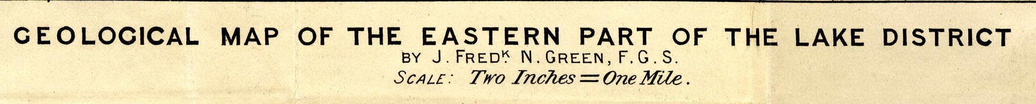
Geological Map of the Eastern Part of the Lake District,
scale about 2 inches to 1 mile, by J Frederick N Green,
engraved by The Watford Egraving Co, 5 Lamb's Conduit
Street, Holborn, London, published in the Proceeding of the
Geologists' Association, vol.26, about 1915.
Illustrating an article, The Structure of the Eastern Part of the Lake District. and |
||
|
Structural Map of the Lake District, scale about 4 miles
to 1 inch, by J Frederick N Green, published in the
Proceeding of the Geologists' Association, vol.31 pp.109-126
and plate 8, about 1920.
Folded and tipped in, illustrating an article, The Geological Structure of the Lake District |
||
|
(example Armitt Library : A6482.2)
|
||
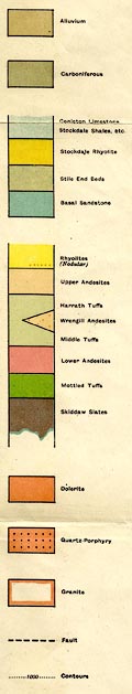
| map feature:- | folded (3x3) & north point & up is NW & rivers & lakes & relief & contours & spot heights & settlements & geology & stratigraphical column | |
| inscription:- |
printed top left, right
Proc. Geol. Asso. Vol.XXVI. / Plate 18. |
|
| inscription:- |
printed bottom left, centre
THE WATERFORD ENGRAVING Co. Ltd. 5 LAMB'S CONDUIT ST. HOLBORN W.C. / GEOLOGICAL MAP OF THE EASTERN LAKE DISTRICT / BY J. FREDK. N. GREEN, F.G.S. / SCALE : Two Inches = One Mile. |
|
| wxh, sheet:- | 61x59.5cm | |
| wxh, map:- | 399x516 | |
|
||
| sources:- |
Armitt Library |
|
| items seen (illustrated items in bold):- | ||

|
Armitt Library : A6480.1 -- geological map -- Structural Map of the Lake District | |
|
|
Armitt Library : A6482.2 -- geological map -- Geological Map of the Eastern Part of the Lake District | |
|
|
Armitt Library : A6482.3 -- geological section -- Ullswater to Yarlside -- Brant Street to Wray Crag -- Heltondale to Wet Sleddale | |