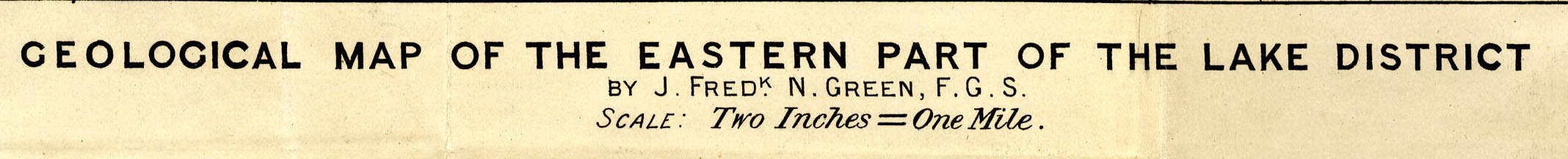
Geological Map of the Eastern Part of the Lake District,
scale about 2 inches to 1 mile, by J Frederick N Green,
engraved by The Watford Egraving Co, 5 Lamb's Conduit
Street, Holborn, London, published in the Proceeding of the
Geologists' Association, vol.26, about 1915. (Green
1910s-20s map)
 Lakes Guides menu.