


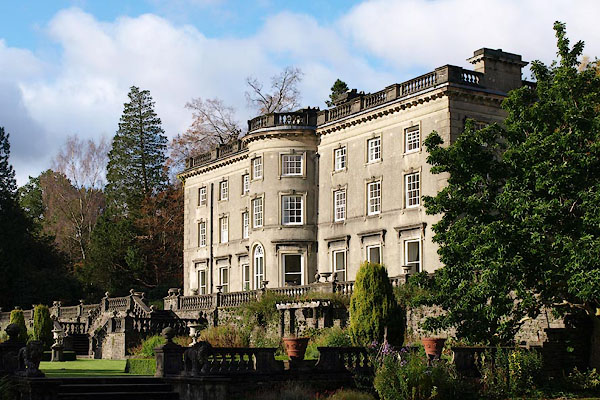
BPU14.jpg (taken 31.10.2008) courtesy of Rydal Hall
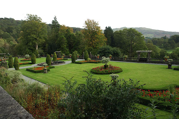
BRR87.jpg (taken 7.10.2009) courtesy of Rydal Hall
placename:- Rydal Hall
placename:- Ridale Hall
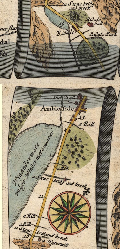
OG96m010.jpg
In mile 14, Westmerland. "Ridale hall"
house up a turning right of the road.
item:- JandMN : 22
Image © see bottom of page
placename:- Ridal Hall
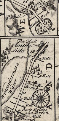
B260m10.jpg
At mile 14-15.
item:- private collection : 1.260
Image © see bottom of page
placename:- Rydal Hall
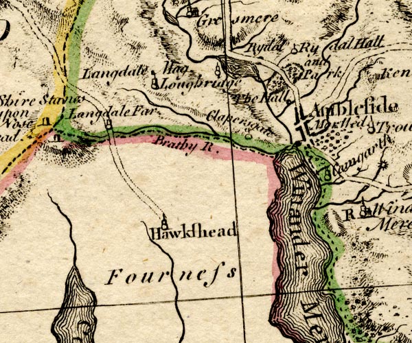
BO18SD29.jpg
"Rydal Hall and Park"
circle, tower, outline of fence palings, trees
item:- Armitt Library : 2008.14.10
Image © see bottom of page
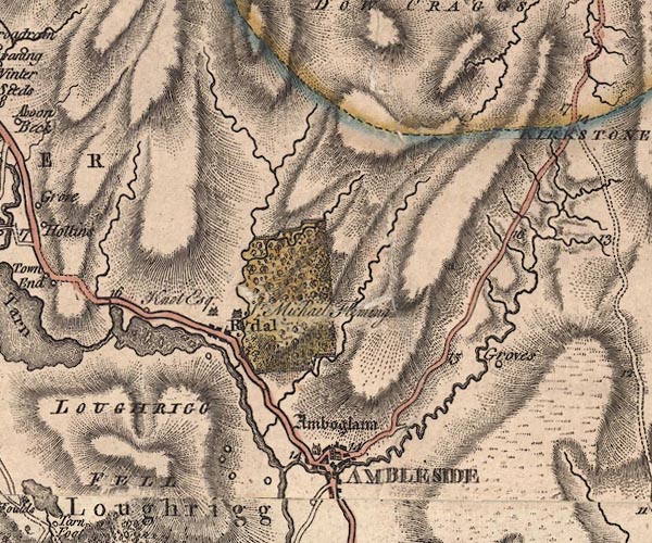
J5NY30NE.jpg
"Sr. Michael Fleming"
house and outline with fence palings; park, wooded
item:- National Library of Scotland : EME.s.47
Image © National Library of Scotland
 goto source
Page 79:- "..."
"Rydal-hall [2] has a grand situation, at the feet of stupendous mountains (opening to"
"[2] Sir Michael le Fleming lately made a new front to Rydal-hall, in good style, which gives it a very interesting appearance."
 goto source
Page 80:- "the south, at the entrance of the vale, over a noble fore-ground), and commands a charming view of Windermere-water [1]. The river Rothay winds through the vale, amidst lofty rocks and hanging woods, to join the lake. ..."
"[1] The style of this landscape will be seen in No.15, of Mr. Farrington's views."
 goto source
Addendum; Mr Gray's Journal, 1769
Page 211:- "..."
"... just to the left of our way, stands Rydal-hall, the family seat of Sir Michael le Fleming, a large old-fashioned fabric, rounded with wood. Sir Michael is now on his travels, and all this timber, far and wide, belongs to him. Near the house rises a huge crag, called Rydal-head,"
 goto source
Rev Plumtre's Night Piece on Windermere, 1797
Page 232:- "[the Rothay] ... / You, murmuring, in the valley gleam; / And, at the neighbouring water's fall, / Pass your Fleming's stately hall; / ..."
placename:- Rydal Old Hall
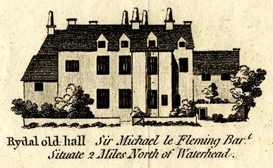
CT09Vgn1.jpg
"Rydal old hall Sir Michael le Fleming Bart. / Situate 2 Miles North of Waterhead."
item:- Armitt Library : 2008.14.102
Image © see bottom of page
placename:- Rydal Hall
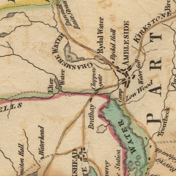
Ws02NY30.jpg
item:- Armitt Library : A1221.1
Image © see bottom of page
placename:- Rydale Hall
item:- oak; Civil War; elections; park charter; tree; echoes
 goto source
Page 125:- "..."
"Rydale ... the hall, with the manor, belongs to Sir Michael le Fleming, Baronet, member of parliament for the county of Westmorland. The hall stands upon a rising ground above the village, and is a beautiful retreat, situated in a pleasant country, and sheltered from the North and East by tall oaks of many hundred years growth; it commands an extensive view of Winandermere, and on a still evening is made yet more delightful by the softened noises of distant water-falls, which the echoes reverberate in an infinite variety of tones. Mr Gray passed this place, like many others, in silence; perhaps he might think that the large old-fashioned fabric, as he calls it, could afford nothing entertaining."
"... Rydale-water, ... runs from Rydale-head through Rydale-park, forming two noble cascades, (one of which is near the hall.) ... the hanging gardens of Rydale-Hall add not a little to the view."
"..."
 goto source
Page 127 (numbered 126):- "In the 29th year of the reign of Henry the VIII. Lancelot Lowther of Sewborwens was married to Jane, daughter of Hugh Fleming of Rydale. The marriage articles were, that each of the parties should pay for their own wedding cloathes; that the meat, drink, and licence should be at the expence of the said Hugh; and that he, the said Hugh, should give to the new-married couple bedding and inseyghe, as shall stand with his Worship to give; and that the portion should be 66l. 13s. 4d., to be paid at the parish church of Lowther. These articles bear date 30th May, the 29th of Henry VIII."
"This family suffered much by Oliver Cromwell's party, every thing valuable being taken from Rydale-Hall, and the building almost torn to pieces in searching for hidden treasure; the estate also confiscated, as they were Roman Catholics till the reign of James the II. At that time Sir Daniel Fleming became a Protestant, and was elected member of parliament for Cockermouth; where, as he himself says, was a strong contest, yet his expences only amounted to twenty pounds. Elections are surely very different now, for I question but a contest there in the year 1769 cost each of the contending parties at least L.50,000."
"There was a charter obtained of Edward the I. for a park here, but there are now no deer in it, they having been destroyed during the time the estate was confiscated, and since not stocked."
placename:- Rydale Hall
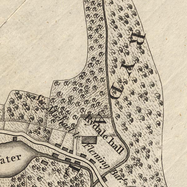
CL9NY30T.jpg
"Rydale hall / Sir Michael le Fleming Bart."
item:- private collection : 10.9
Image © see bottom of page
placename:- Ridal Hall
 goto source
Page 155:- "..."
"A mile north of Ambleside, in Gresmere parish, is Ridal hall, a large antient seat of the Flemings, to whom this manor descended from the Lancasters t. Henry IV. The late sir Daniel Fleming communicated many particulars relating to this and the preceding county to bishop Gibson."
"The Flemings were originally of Furness in Lancashire, from a younger branch of whom the present family here descended. Sir Daniel was created a baronet about 4 Anne. His 5th son George was bishop of Carlisle, to whom the title descended, but is now enjoyed by his next brother's grandson sir Michael, whose father restored the original orthography of the name le Fleming. Rydal hall is a large old building, erected at different times, and intended to be rebuilt by the present owner. ..."
placename:- Rydal Hall
 goto source
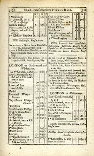 click to enlarge
C38317.jpg
page 317-318 "At Rydal is Rydal Hall, Sir Michael le Fleming, Bart."
item:- JandMN : 228.1
Image © see bottom of page
 goto source
Page 109:- "... among ancient oaks, stands Rydal Hall, the patrimonial residence of Lady le Fleming, who has built and endowed a neat Chapel in the village. ..."
placename:- Rydal Hall
 goto source
Page 40:- "..."
"The road from Ambleside is adorned with beautiful trees, amongst which the Lord's Oak is conspicuous. On the right is Rydal Hall, the large mansion of Lady le Fleming, embosomed in a shady park, on a gently rising eminence at the junction of two vales; behind it, rise the steep and lofty Fairfield, and the ravine of Rydal Head. The Rydal Waterfalls are shown by a domestic; ..."
 goto source
Page 163:- "..."
"Rydal Hall has been converted into a large staring mansion, from the interesting and picturesque form of the old Westmorland hall. In the grounds are two beautiful cascades, extremely pretty as garden scenes. ..."
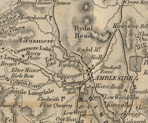
FD02NY30.jpg
"Hall"
Building and park.
item:- JandMN : 100.1
Image © see bottom of page
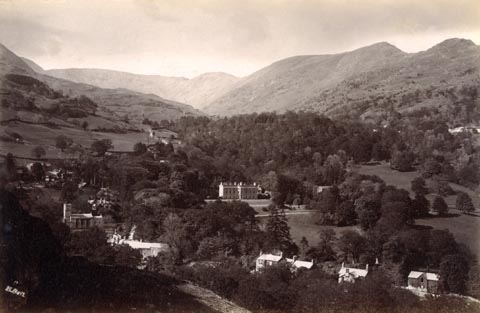 click to enlarge
HB0864.jpg
internegative at lower left:- "H. Bell"
item:- Armitt Library : ALPS535
Image © see bottom of page
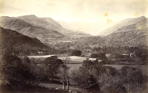 click to enlarge
HB0278.jpg
item:- Armitt Library : ALPS635
Image © see bottom of page
placename:- Rydal Hall
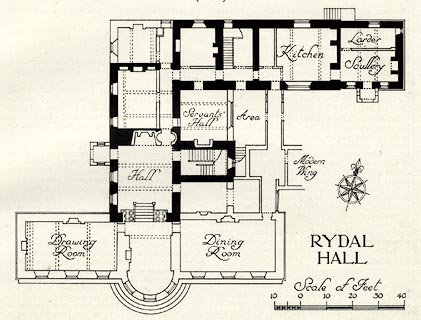 click to enlarge
HMW120.jpg
On p.201 of the Inventory of the Historical Monuments in Westmorland.
printed, lower right "RYDAL HALL"
RCHME no. Wmd, Rydal and Loughrigg 4
item:- Armitt Library : A745.121
Image © see bottom of page
placename:- Rydal Hall
courtesy of English Heritage
"RYDAL HALL / / / LAKES / SOUTH LAKELAND / CUMBRIA / II[star] / 452647 / NY3655306354"
courtesy of English Heritage
"C16 core, the east end of north east wing late C17, the rest C18 and with early C19 main front. 2 storeys. Cement-rendered, with stone quoins, moulded architraves, cornice, balustraded parapet, panelled chimneys. Main (garden) front is 3 storeys, with a large centre bow the full height, the ground floor windows having cornices on scroll brackets. For group notes see General group description under Rydal."
courtesy of English Heritage
"BRIDGE OVER RYDAL BECK IN GROUNDS OF RYDAL HALL / / / LAKES / SOUTH LAKELAND / CUMBRIA / II[star] / 452650 / NY3665706319"
courtesy of English Heritage
"Below the terraces, at the east end of the front garden. Stone rubble, single segmental arch, late C17."
courtesy of English Heritage
"SUMMER HOUSE IN GROUNDS OF RYDAL HALL / / / LAKES / SOUTH LAKELAND / CUMBRIA / II[star] / 452651 / NY3664206334"
courtesy of English Heritage
"Beside the bridge, on west bank of the beck. Small square building, late C17, former panelling removed."
courtesy of English Heritage
"BARNS, STABLES ETC TO NORTH AND EAST OF RYDAL HALL / / / LAKES / SOUTH LAKELAND / CUMBRIA / II[star] / 452649 / NY3662606377"
courtesy of English Heritage
"GAME LARDER IN GROUNDS OF RYDAL HALL / / / LAKES / SOUTH LAKELAND / CUMBRIA / II[star] / 452652 / NY3658506422"
courtesy of English Heritage
"On west bank of Rydal Beck above the barns. Small square stone substructure with external stairs up to wooden superstructure with gable."
courtesy of English Heritage
"TERRACES TO SOUTH OF RYDAL HALL / / / LAKES / SOUTH LAKELAND / CUMBRIA / II[star] / 452648 / NY3656106317"
courtesy of English Heritage
"Include balustraded terrace, steps down to lower terrace, and surrounding balustrade."
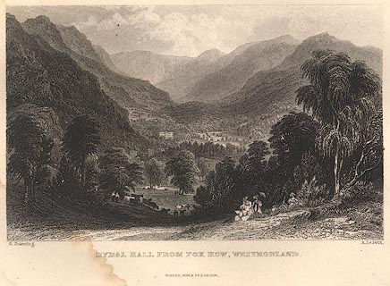 click to enlarge
R314.jpg
item:- JandMN : 66.10
Image © see bottom of page
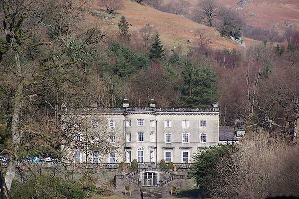
BNE29.jpg (taken 17.2.2007) courtesy of Rydal Hall
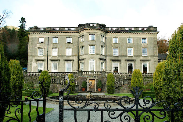
BPU26.jpg (taken 31.10.2008) courtesy of Rydal Hall
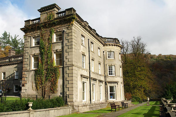
BPU27.jpg (taken 31.10.2008) courtesy of Rydal Hall
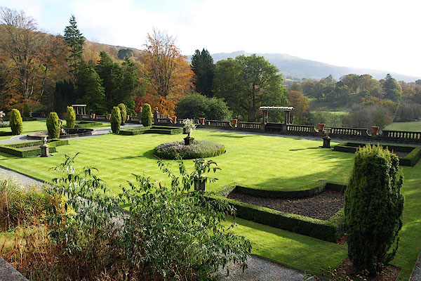
BPU29.jpg (taken 31.10.2008) courtesy of Rydal Hall
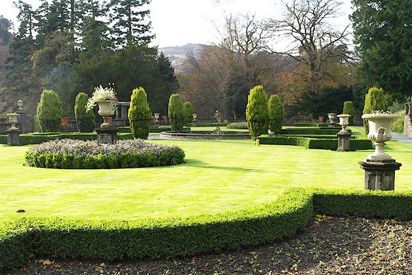
BPU30.jpg (taken 31.10.2008) courtesy of Rydal Hall
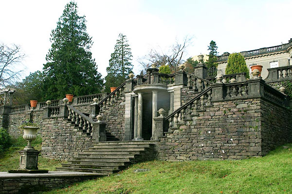
BPU25.jpg (taken 31.10.2008) courtesy of Rydal Hall
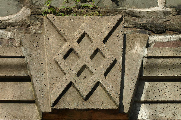
BPU31.jpg Coat of arms in the garden.
(taken 31.10.2008) courtesy of Rydal Hall
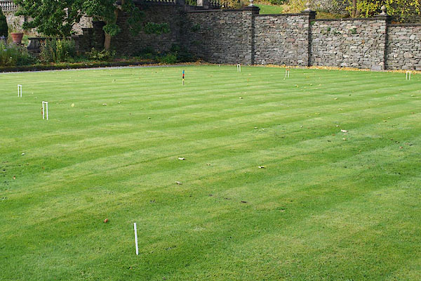
BPU32.jpg Croquet lawn.
(taken 31.10.2008) courtesy of Rydal Hall
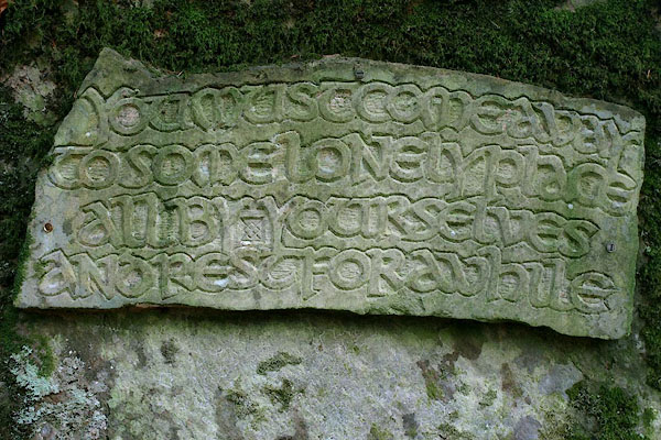
BPU18.jpg Inscribed by Mary Rose leFleming Leversedge, New Zealand, descendant of the Fleming Family, 1987.
(taken 31.10.2008) courtesy of Rydal Hall
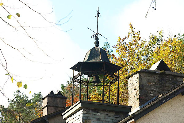
BPU34.jpg (taken 31.10.2008) courtesy of Rydal Hall
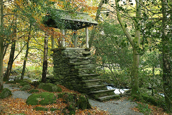
BPU38.jpg Game larder,
(taken 31.10.2008) courtesy of Rydal Hall
Longville, Tim &Corbett, Val (photr): 2007: Gardens of the Lake District: Lincoln, Frances (London)
: 2012: Cumbria Gardens 2012: National Gardens Scheme
