


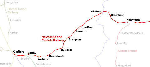
 click to enlarge
RWY002.jpg
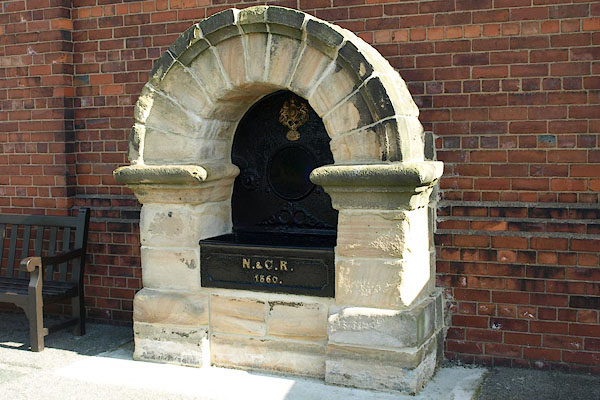
BPR08.jpg Water trough (from Blaydon Station):-
"N. &C. R. / 1860" (taken 2008) courtesy of the National Railway Museum (NMR:1976-7049)
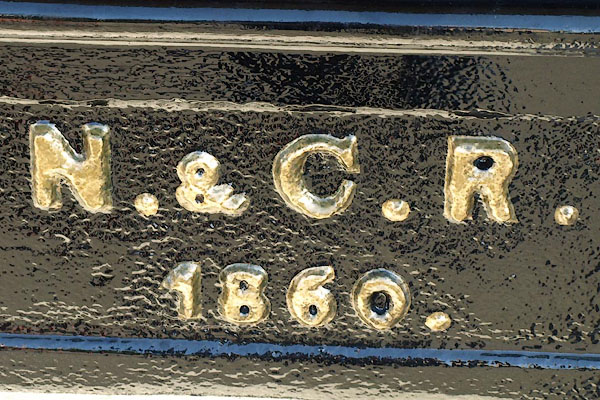
BPR09.jpg Water trough (from Blaydon Station):-
"N. &C. R. / 1860" (taken 2008) courtesy of the National Railway Museum (NMR:1976-7049)
placename:- Newcastle and Carlisle Railway
 goto source
Page 107:- "... mails daily leave the city for Portpatrick and Belfast, Glasgow, Edinburgh, and London by way of Leeds and Manchester; besides several other stage-coaches. The Newcastle and Carlisle Railway offers opportunities four times a-day of travelling between those places; ..."
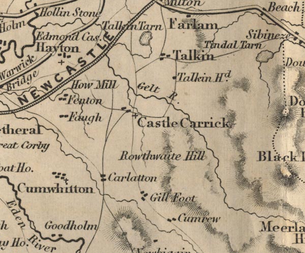
FD02NY55.jpg
item:- JandMN : 100.1
Image © see bottom of page
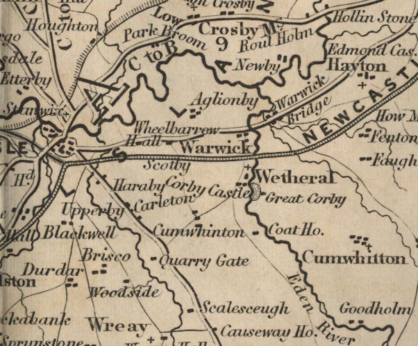
FD02NY45.jpg
item:- JandMN : 100.1
Image © see bottom of page
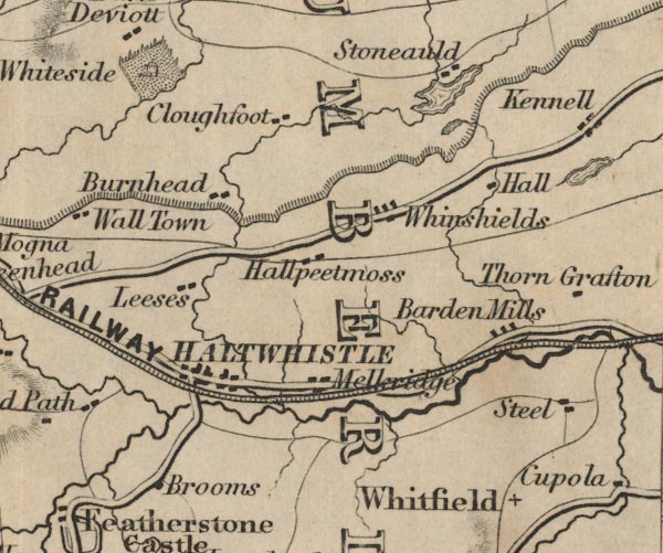
FD02NY76.jpg
item:- JandMN : 100.1
Image © see bottom of page
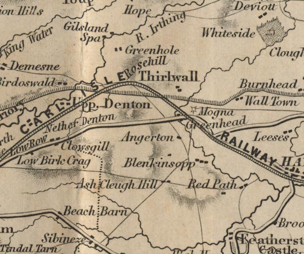
FD02NY66.jpg
item:- JandMN : 100.1
Image © see bottom of page
placename:- Newcastle and Carlisle Railway
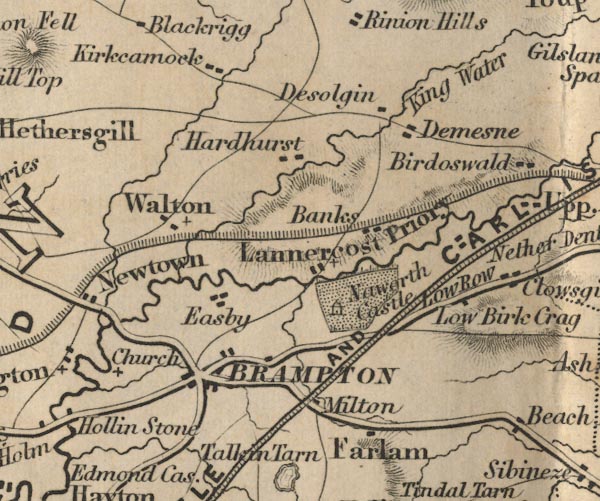
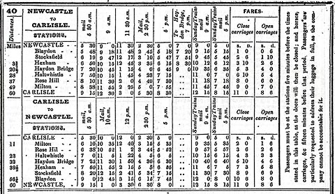
FD02NY56.jpg
"NEWCASTLE AND CARLISLE RAILWAY"
item:- JandMN : 100.1
Image © see bottom of page
 click to enlarge
BRA1NC.jpg
placename:- Newcastle and Carlisle Railway
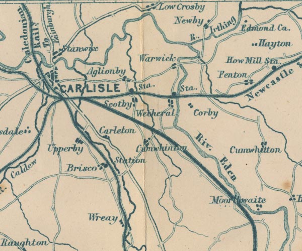
GAR2NY45.jpg
triple line, light bold light, railway
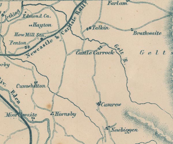
GAR2NY55.jpg
"Newcastle &Carlisle Raily."
item:- JandMN : 82.1
Image © see bottom of page
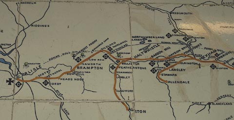
placename:- North Eastern Railway
 click to enlarge
NER1R1.jpg
item:- National Railway Museum : 1995-7786
Image © see bottom of page
: Newcastle and Carlisle Railway
to 1862
: North Eastern Railway; NER
to 1923
: London and North Eastern Railway; LNER
to 1948
: British Railways; BR
 Alston branch railway
 Haltwhistle Junction, Haltwhistle
 Haltwhistle Station, Haltwhistle
 Greenhead Station, Northumberland
 Rose Hill Station, Gilsland
 railway bridge, Gilsland
 Denton School Level Crossing, Upper Denton
 accommodation crossing, Upper Denton
 Denton Village Level Crossing, Upper Denton
 Upper Denton Level Crossing, Upper Denton
[Lane Head Crossing, Nether Denton]
 signal box, Low Row
 Low Row Station, Low Row
 Low Row Level Crossing, Low Row
[railway bridge, Brampton (2)]
[level crossing, Naworth]
 Naworth Station, Brampton
 level crossing, Milton
 Brampton Junction, Brampton
 Brampton Junction Station, Brampton
 railway bridge, Bramptonfell
 level crossing, Brampton
 Brampton Fell Station, Brampton
 Gelt Bridge, Hayton
 railway bridge, Hayton (2)
 Cowran Cutting, Hayton
 railway bridge, Hayton
 How Mill Station, How
 railway milepost, How
 Fenton Embankment, Fenton
 railway bridge, Fenton
 railway bridge, Heads Nook
 Heads Nook Station, Heads Nook
[level crossing, Broadwath]
 railway crossing, Great Corby
 Glenwillie Bridge, Great Corby
 coal depot, Great Corby
 signal box, Great Corby
 Corby Gates, Great Corby
 Corby Bridge, Wetheral
 Wetheral Station, Wetheral
 railway bridge, Wetheral (2)
 railway milepost, Wetheral
 railway bridge, Scotby (3)
 Scotby Embankment, Scotby
 railway bridge, Scotby
 Scotby Station, Scotby
[railway bridge, Scotby (6)]
 Durranhill Bridge, Carlisle
[Durranhill Sidings, Carlisle]
 Petteril Bridge Junction, Carlisle
[railway bridge, Carlisle (9)]
 engine shed, Carlisle (11)
 engine shed, Carlisle (13)
 Harraby Cutting, Carlisle
 engine shed, Carlisle (12)
 London Road Terminus, Carlisle
 London Road Goods Depot, Carlisle
 London Road Tunnel, Harraby
 London Road East Junction, Carlisle
 London Road West Junction, Carlisle
 St Nicholas Bridges, Carlisle
 Carlisle Citadel Station, Carlisle
22.5.1829: authorized -
1836: opened -
 London Road West Junction, Carlisle
 St Nicholas Bridges, Carlisle
 railway bridge, Carlisle (2)
[railway bridge, Carlisle (8)]
[railway bridge, Carlisle (5)]
[railway bridge, Carlisle (4)]
 railway bridge, Carlisle (7)
[railway bridge, Carlisle (6)]
 engine shed, Carlisle (8)
 Canal Junction S, Carlisle