 Old Cumbria Gazetteer
 |
 |
|
| London Road Goods Depot, Carlisle | ||
| London Road Goods Depot | ||
| site name:- | Newcastle and Carlisle Railway | |
| Street:- | London Road | |
| locality:- | Carlisle | |
| civil parish:- | Carlisle (formerly Cumberland) | |
| county:- | Cumbria | |
| locality type:- | goods depot | |
| locality type:- | coal depot | |
| locality type:- | lime depot | |
| coordinates:- | NY41105501 (etc) | |
| 1Km square:- | NY4155 | |
| 10Km square:- | NY45 | |
|
|
||
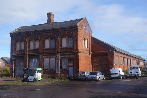 CFQ50.jpg (taken 4.11.2016) 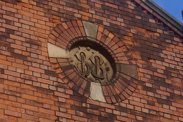 CFQ51.jpg Date stone:- "1881" (taken 4.11.2016) |
||
|
|
||
| evidence:- | old map:- OS County Series (Cmd 23 8) placename:- London Road Goods and Mineral Station item:- weighing machine; railway signal; goods shed |
|
| source data:- | Maps, County Series maps of Great Britain, scales 6 and 25
inches to 1 mile, published by the Ordnance Survey, Southampton,
Hampshire, from about 1863 to 1948.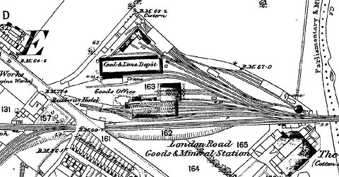 click to enlarge click to enlargeCSRY0014.jpg "London Road Goods & Mineral Station / Coal & Lime Depot / Goods Office / W.M. / S.P. / ... / Railway Hotel / ..." |
|
|
|
||
 Lakes Guides menu.