Old Cumbria Gazetteer
 |
 |
|
||
| Hartsop, Patterdale | ||||
| Hartsop | ||||
| locality:- | Hartsop | |||
| civil parish:- | Patterdale (formerly Westmorland) | |||
| county:- | Cumbria | |||
| locality type:- | locality | |||
| locality type:- | buildings | |||
| coordinates:- | NY40841312 (etc) | |||
| 1Km square:- | NY4013 | |||
| 10Km square:- | NY41 | |||
|
|
||||
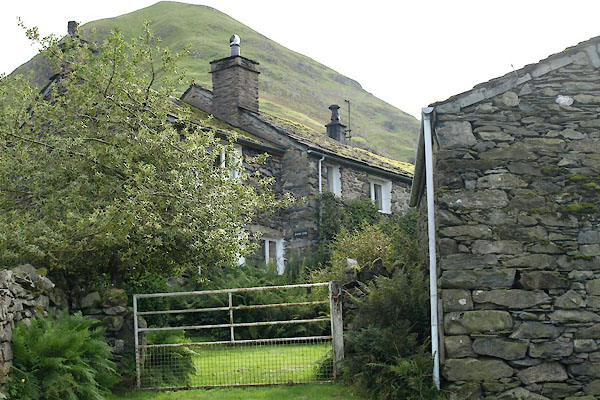
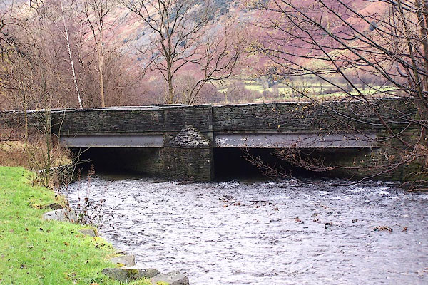
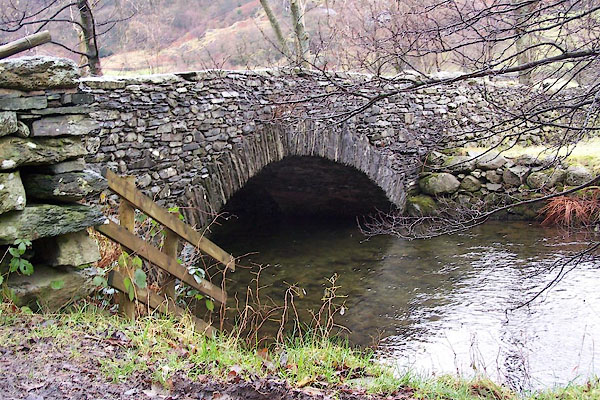
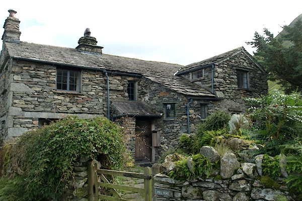
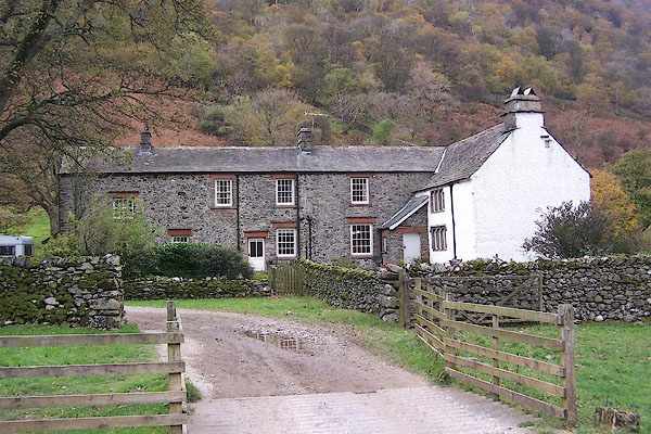
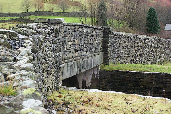
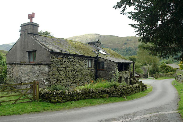
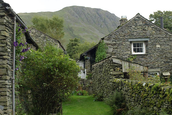
 BOE69.jpg (taken 11.9.2007) 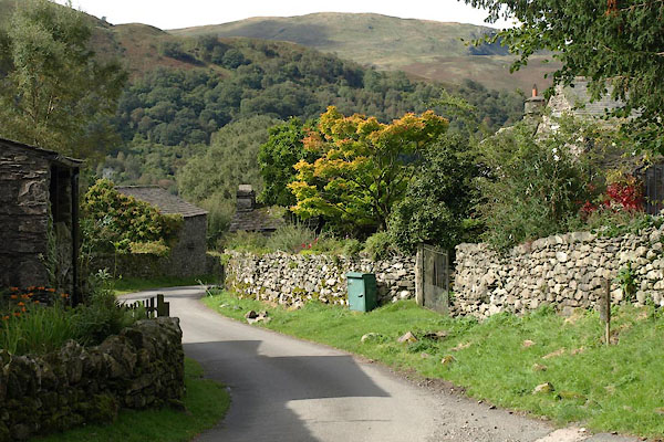 BXI45.jpg (taken 18.9.2012) |
||||
|
|
||||
| evidence:- | old map:- OS County Series (Wmd 19 3) placename:- Low Hartsop placename:- Hartsop, Low |
|||
| source data:- | Maps, County Series maps of Great Britain, scales 6 and 25
inches to 1 mile, published by the Ordnance Survey, Southampton,
Hampshire, from about 1863 to 1948.
|
|||
|
|
||||
| evidence:- | hearth tax returns:- Hearth Tax 1675 placename:- Nether Hartsopp |
|||
| source data:- | Records, hearth tax survey returns, Westmorland, 1674/75. "Nether Hartsopp" in "Patterdale" |
|||
|
|
||||
| evidence:- | hearth tax returns:- Hearth Tax 1670 placename:- Hartsopp |
|||
| source data:- | Records, hearth tax returns, exchequer duplicates, Westmorland,
1670. "Hartsopp" |
|||
|
|
||||
| evidence:- | perhaps descriptive text:- Fiennes 1698 item:- horseshoe |
|||
| source data:- | Travel book, manuscript record of Journeys through England
including parts of the Lake District, by Celia Fiennes, 1698. "They reckon it but 8 mile from the place I was at the night before but I was 3 or 4 hours at least going it; here I found a very good smith to shooe the horses, for these stony hills and wayes pulls off a shooe presently and wears them as thinn that it was a constant charge to shooe my horses every 2 or 3 days; but this smith did shooe them so well and so good shooes that they held some of the shooes 6 weeks; the stonyness of the wayes all here about teaches them the art of makeing good shooes and setting them on fast." |
|||
|
|
||||
| evidence:- | perhaps descriptive text:- Fiennes 1698 item:- house; clap bread |
|||
| source data:- | Travel book, manuscript record of Journeys through England
including parts of the Lake District, by Celia Fiennes, 1698. "Here I came to villages of sad little hutts made up of drye walls, only stones piled together and the roofs of same slatt; there seemed to little or noe tunnells for their chimneys and have no morter or plaister within or without; for the most part I tooke them at first sight for a sort of houses or barns to fodder cattle in, not thinking them to be dwelling houses, they being scattering houses here one there another, in some places there may be 20 or 30 together, and the Churches the same; it must needs be very cold dwellings but it shews something of the lazyness of the people; indeed here and there there was a house plaister'd, but there is sad entertainment, that sort of clap bread and butter and cheese and a cup of beer all one can have, they are 8 mile from a market town and their miles are tedious to go both for illness of way and length of the miles." |
|||
|
|
||||
| evidence:- | old map:- Jefferys 1770 (Wmd) placename:- Low Hartshope placename:- Hartshope, Low |
|||
| source data:- | Map, 4 sheets, The County of Westmoreland, scale 1 inch to 1
mile, surveyed 1768, and engraved and published by Thomas
Jefferys, London, 1770.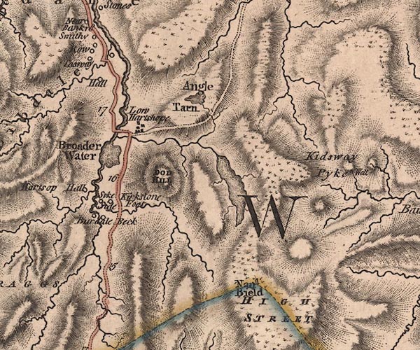 J5NY41SW.jpg "Low Hartshope" blocks, labelled in italic lowercase text; settlement, village? item:- National Library of Scotland : EME.s.47 Image © National Library of Scotland |
|||
|
|
||||
| evidence:- | old text:- Clarke 1787 placename:- Hartsop |
|||
| source data:- | Guide book, A Survey of the Lakes of Cumberland, Westmorland,
and Lancashire, written and published by James Clarke, Penrith,
Cumberland, and in London etc, 1787; published 1787-93. goto source goto sourcePage 32:- "... The whole Dale [Patterdale] consists at present of five small manors; Hartsop, the property of the Earl of Lonsdale; Deep-Dale, of the Duke of Norfolk; Griesdale and Pless-Fell, of William Hassel, Esq; of Dalemain; and Glenridding, of John Mounsey, Esquire." |
|||
|
|
||||
| evidence:- | old map:- Cary 1789 (edn 1805) placename:- Low Hartshope placename:- Hartshope, Low |
|||
| source data:- | Map, uncoloured engraving, Westmoreland, scale about 2.5 miles
to 1 inch, by John Cary, London, 1789; edition 1805.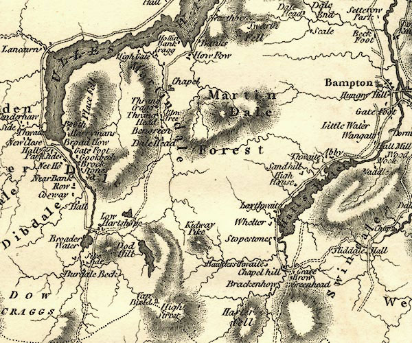 CY24NY41.jpg "Low Hartshope" block/s, labelled in italic lowercase; house, or hamlet item:- JandMN : 129 Image © see bottom of page |
|||
|
|
||||
| evidence:- | old map:- Cooper 1808 placename:- Hartsop |
|||
| source data:- | Map, hand coloured engraving, Westmoreland ie Westmorland, scale
about 9 miles to 1 inch, by H Cooper, 1808, published by R
Phillips, Bridge Street, Blackfriars, London, 1808. click to enlarge click to enlargeCOP4.jpg "Hartsop" circle; village or hamlet item:- Dove Cottage : 2007.38.53 Image © see bottom of page |
|||
|
|
||||
| evidence:- | old text:- Wordsworth 1810 placename:- Hartsop |
|||
| source data:- | Guide book, A Description of the Scenery of the Lakes, later A
Guide through the District of The Lakes, by William Wordsworth,
1810-35. goto source page xxii "... the decaying hamlet of Hartsop, remarkable for its cottage architecture, ..." |
|||
|
|
||||
| evidence:- | old map:- Otley 1818 placename:- Hartsop |
|||
| source data:- | Map, uncoloured engraving, The District of the Lakes,
Cumberland, Westmorland, and Lancashire, scale about 4 miles to
1 inch, by Jonathan Otley, 1818, engraved by J and G Menzies,
Edinburgh, Scotland, published by Jonathan Otley, Keswick,
Cumberland, et al, 1833.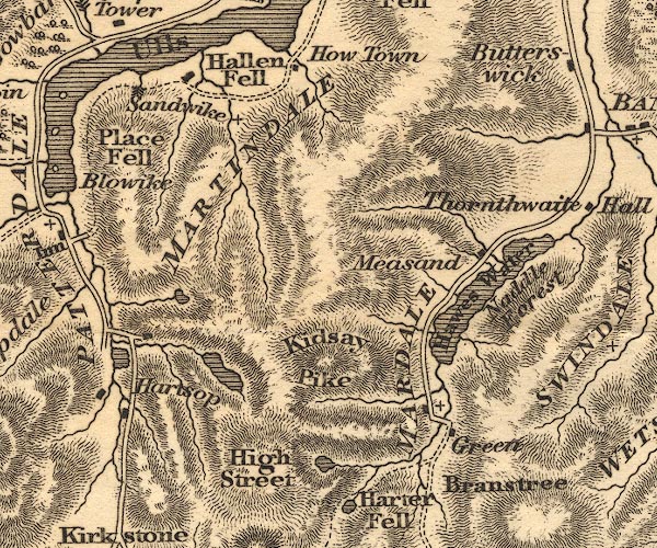 OT02NY41.jpg item:- JandMN : 48.1 Image © see bottom of page |
|||
|
|
||||
| evidence:- | old map:- Ford 1839 map placename:- Hartshope |
|||
| source data:- | Map, uncoloured engraving, Map of the Lake District of
Cumberland, Westmoreland and Lancashire, scale about 3.5 miles
to 1 inch, published by Charles Thurnam, Carlisle, and by R
Groombridge, 5 Paternoster Row, London, 3rd edn 1843.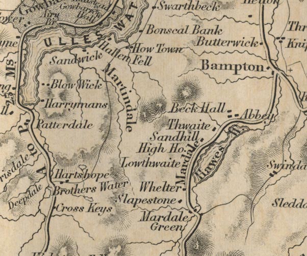 FD02NY41.jpg "Hartshope" item:- JandMN : 100.1 Image © see bottom of page |
|||
|
|
||||
| evidence:- | old map:- Garnett 1850s-60s H placename:- Lower Hartsop |
|||
| source data:- | Map of the English Lakes, in Cumberland, Westmorland and
Lancashire, scale about 3.5 miles to 1 inch, published by John
Garnett, Windermere, Westmorland, 1850s-60s.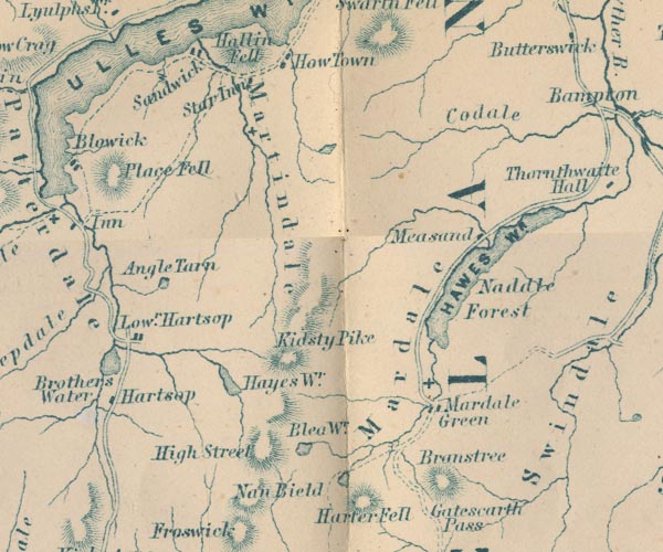 GAR2NY41.jpg "Lowr. Hartsop" blocks, settlement item:- JandMN : 82.1 Image © see bottom of page |
|||
|
|
||||
| evidence:- | old photograph:- Marr 1916 placename:- Hartsop |
|||
| source data:- | Photograph, halftone print, Round topped hill near Hartsop, Patterdale, Westmorland,
1916.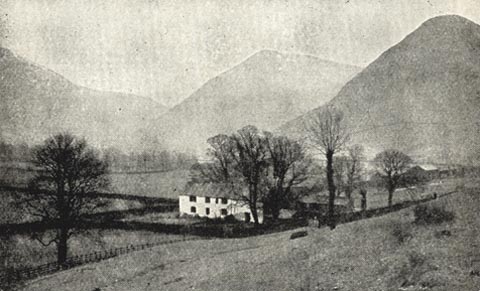 click to enlarge click to enlargeMA1211.jpg item:- JandMN : 173.19 Image © see bottom of page |
|||
|
|
||||
| evidence:- | town plan:- Historical Monuments 1936 placename:- Low Hartsop |
|||
| source data:- | Town plan, uncoloured lithograph, Patterdale Low Hartsop Plan Showing the Position
of Monuments, Hartsop, Patterdale, Westmorland, scale about 1 to 2200, published by
Royal Commission on Historical Monuments England, London, 1936.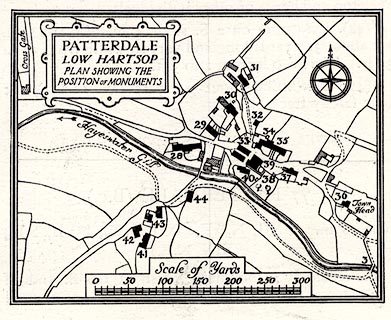 click to enlarge click to enlargeHMW115.jpg On p.192 of the Inventory of the Historical Monuments in Westmorland. printed, upper left "PATTERDALE / LOW HARTSOP / PLAN SHOWING THE / POSITION OF MONUMENTS" item:- Armitt Library : A745.116 Image © see bottom of page |
|||
|
|
||||
| evidence:- | old drawing:- placename:- Hartsop |
|||
| source data:- | Drawing, At Hartsop, Patterdale, Westmorland, by John Harper, 1840.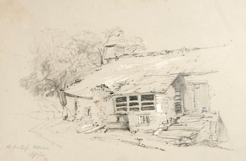 click to enlarge click to enlargePR1374.jpg View of single storey Lakeland vernacular building at Hartsop, Patterdale. Executed in pencil with touches of white gouache on buff coloured paper. Preparatory sketch drawn on the spot by the artist. at bottom left:- "At Hartsop. Patterdale 5 Sept./40" item:- Tullie House Museum : 2009.89.17 Image © Tullie House Museum |
|||
|
|
||||
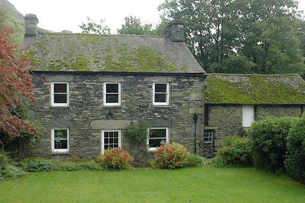
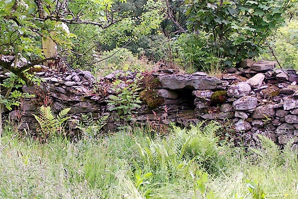
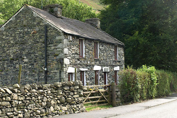
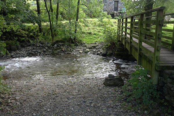
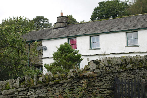
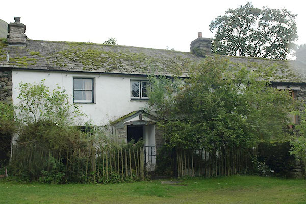
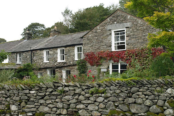
 BXI44.jpg (taken 18.9.2012) |
||||
|
|
||||
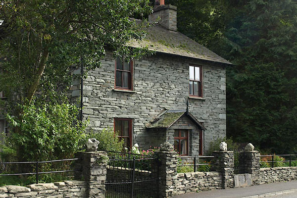
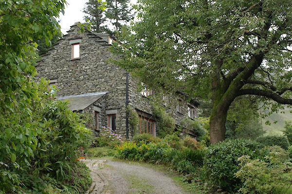
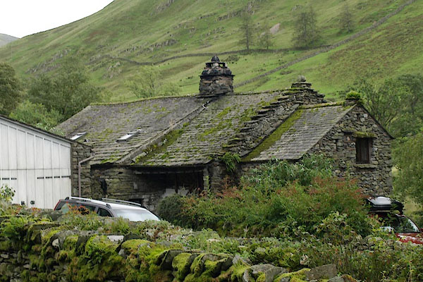
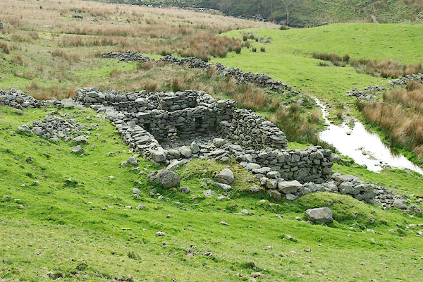
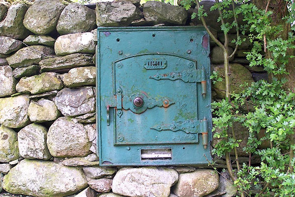 BQT28.jpg What is it? (taken 9.6.2009) |
||||
| The reply, from Sara Batterly, 27 September 2016, is:- |
||||
| This was the cold store where the farmer delivered the milk. People in the village
would leave their small milk churns in the "safe" to be filled by the farmer. |
||||
| The butcher and the vegetables man also used to stop at this corner of Hartsop on
their rounds. |
||||
|
|
||||
| places:- |
|
|||
|
||||
|
||||
|
||||
|
||||
|
||||
|
||||
|
||||
|
||||
|
||||
|
||||
|
||||
|
||||
|
||||
|
||||
|
||||
|
||||
|
||||
|
||||
|
||||
|
||||
|
||||
|
||||
|
||||
|
||||
|
||||
|
||||
|
||||
|
||||
|
||||
|
||||
|
||||
|
||||
|
||||
Lakes Guides menu.