 Old Cumbria Gazetteer
 |
 |
|
| Cow Bridge, Hartsop | ||
| Cow Bridge | ||
| site name:- | Goldrill Beck | |
| locality:- | Hartsop | |
| civil parish:- | Patterdale (formerly Westmorland) | |
| county:- | Cumbria | |
| locality type:- | bridge | |
| coordinates:- | NY40261337 | |
| 1Km square:- | NY4013 | |
| 10Km square:- | NY41 | |
|
|
||
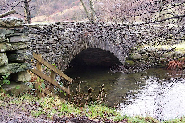 BLK66.jpg (taken 5.12.2005) 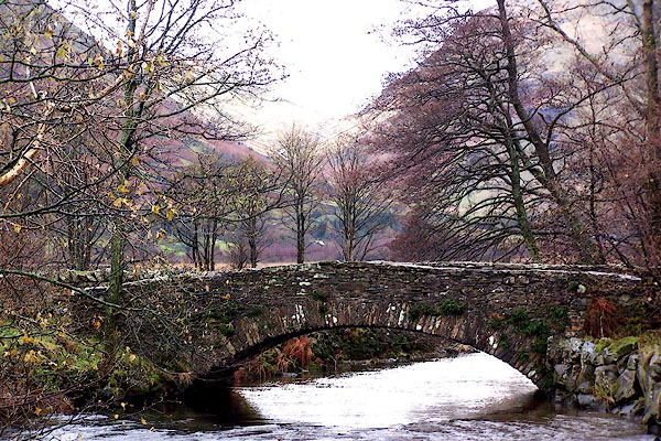 BLK76.jpg (taken 5.12.2005) |
||
|
|
||
| evidence:- | old map:- OS County Series (Wmd 19 3) placename:- Cow Bridge |
|
| source data:- | Maps, County Series maps of Great Britain, scales 6 and 25
inches to 1 mile, published by the Ordnance Survey, Southampton,
Hampshire, from about 1863 to 1948. |
|
|
|
||
| evidence:- | old map:- Morden 1695 (Wmd) |
|
| source data:- | Map, hand coloured engraving, Westmorland, scale about 2.5 miles to 1 inch, by Robert
Morden, published by Abel Swale, the Unicorn, St Paul's Churchyard, Awnsham, and John
Churchill, the Black Swan, Paternoster Row, London, 1695.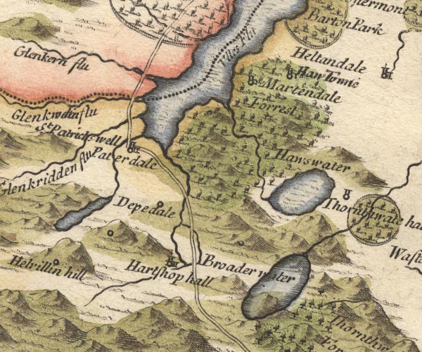 MD10NY41.jpg Double line over a stream, over the Goldrill Beck; the map is confused here, but the road has to cross this stream. item:- JandMN : 24 Image © see bottom of page |
|
|
|
||
| evidence:- | probably old map:- Bowen and Kitchin 1760 |
|
| source data:- | Map, hand coloured engraving, A New Map of the Counties of
Cumberland and Westmoreland Divided into their Respective Wards,
scale about 4 miles to 1 inch, by Emanuel Bowen and Thomas
Kitchin et al, published by T Bowles, Robert Sayer, and John
Bowles, London, 1760.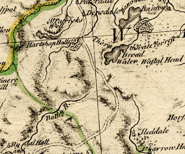 BO18NY30.jpg road across Goldrill Beck item:- Armitt Library : 2008.14.10 Image © see bottom of page |
|
|
|
||
| evidence:- | old map:- Jefferys 1770 (Wmd) |
|
| source data:- | Map, 4 sheets, The County of Westmoreland, scale 1 inch to 1
mile, surveyed 1768, and engraved and published by Thomas
Jefferys, London, 1770.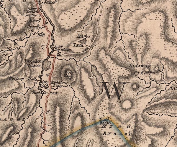 J5NY41SW.jpg double line, road, across a stream; bridge item:- National Library of Scotland : EME.s.47 Image © National Library of Scotland |
|
|
|
||
| evidence:- | old map:- Cary 1789 (edn 1805) |
|
| source data:- | Map, uncoloured engraving, Westmoreland, scale about 2.5 miles
to 1 inch, by John Cary, London, 1789; edition 1805.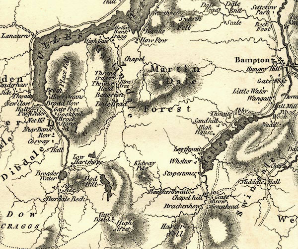 CY24NY41.jpg road across a stream; bridge over the Goldrill item:- JandMN : 129 Image © see bottom of page |
|
|
|
||
| evidence:- | database:- Listed Buildings 2010 placename:- Cow Bridge |
|
| source data:- | courtesy of English Heritage "COW BRIDGE / / / PATTERDALE / EDEN / CUMBRIA / II / 452390 / NY4025813376" |
|
| source data:- | courtesy of English Heritage "C17 packhorse bridge, now widened." |
|
|
|
||
| observation:- |
Now bypassed by road improvement. |
|
|
|
||
 Lakes Guides menu.