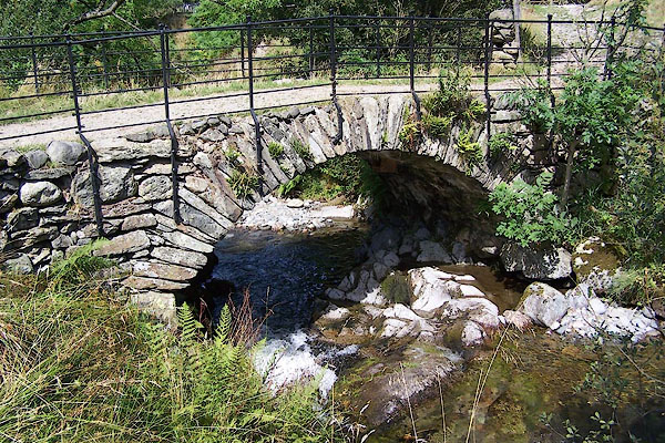


BJS74.jpg (taken 17.8.2005)

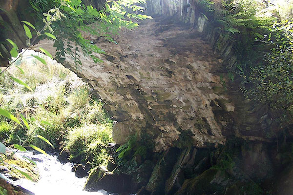
BJS75.jpg Underneath, it's possible to see widening.
(taken 17.8.2005)
placename:- Pasture Beck Bridge
courtesy of English Heritage
"PASTURE BECK BRIDGE / / / PATTERDALE / EDEN / CUMBRIA / II / 452392 / NY4103312953"
courtesy of English Heritage
"C17 packhorse bridge at the east end of the hamlet. Single round arch of wedge-shaped stones without a parapet. Widened, but still used only for pedestrians. For group notes see General group description under Low Hartsop."
 click to enlarge
GN0366.jpg
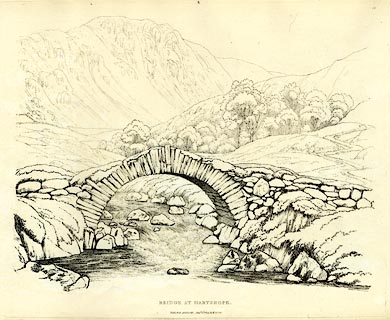
Plate 66 in Seventy Eight Studies from Nature.
printed in introductory pages to set of prints:- "Number 66. Hartsope, which is a village, consists of fourteen or fifteen houses, and is seven miles from Ambleside on the road to Patterdale over Kirkstone. It is near this place that the carriage and horse roads divide, meeting again at Goldrill Bridge near the Inn. ..."
printed at bottom:- "BRIDGE AT HARTSOPE. / Published Ambleside, Augst. 1st. 1809, by W. Green."
item:- Armitt Library : A6637.66
Image © see bottom of page

 Lakes Guides menu.