button to main menu  Old Cumbria Gazetteer
Garsdale
locality:-   Garsdale valley
civil parish:-   Garsdale (formerly Yorkshire)
county:-   Cumbria
locality type:-   locality
locality type:-   buildings
coordinates:-   SD74818963 (etc) 
1Km square:-   SD7489
10Km square:-   SD78


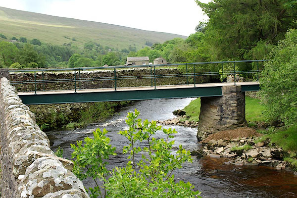
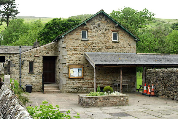
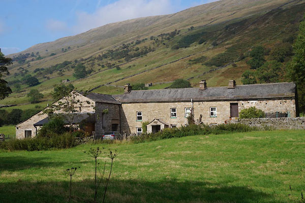
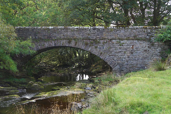
photograph
BQV15.jpg (taken 18.6.2009)  

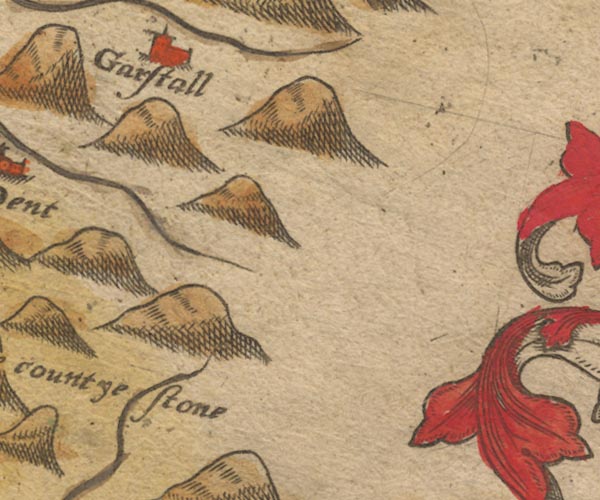
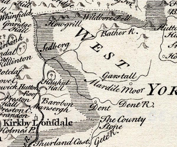
evidence:-   old map:- Saxton 1579
placename:-  Garstall
source data:-   Map, hand coloured engraving, Westmorlandiae et Cumberlandiae Comitatus ie Westmorland and Cumberland, scale about 5 miles to 1 inch, by Christopher Saxton, London, engraved by Augustinus Ryther, 1576, published 1579-1645.
image
Sax9SD78.jpg
Church, symbol for a parish or village, with a parish church.  "Garstall"
item:-  private collection : 2
Image © see bottom of page

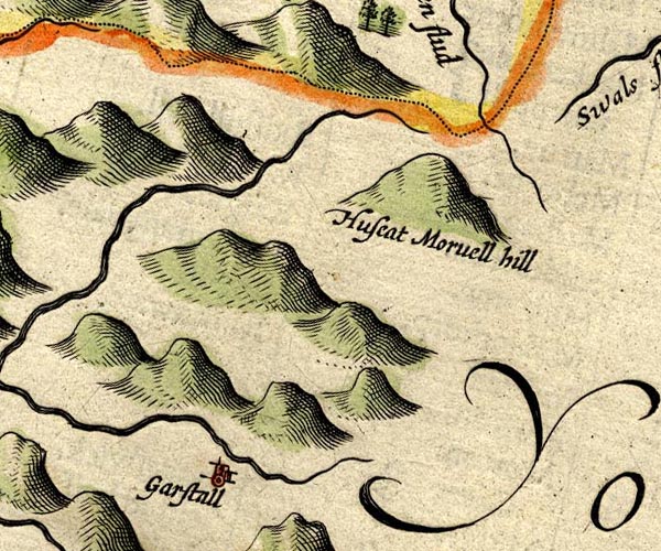
evidence:-   old map:- Mercator 1595 (edn?) 
placename:-  Garstall
source data:-   Map, hand coloured engraving, Westmorlandia, Lancastria, Cestria etc, ie Westmorland, Lancashire, Cheshire etc, scale about 10.5 miles to 1 inch, by Gerard Mercator, Duisberg, Germany, 1595, edition 1613-16.
image
MER5WmdA.jpg
"Garstall"
circle 
item:-  Armitt Library : 2008.14.3
Image © see bottom of page

evidence:-   old map:- Speed 1611 (Wmd) 
placename:-  Garstall
source data:-   Map, hand coloured engraving, The Countie Westmorland and Kendale the Cheif Towne, scale about 2.5 miles to 1 inch, by John Speed, 1610, published by George Humble, Popes Head Alley, London, 1611-12.
image
SP14SD79.jpg
"Garstall"
circle, building and tower 
item:-  Armitt Library : 2008.14.5
Image © see bottom of page

evidence:-   perhaps old text:- Brathwaite 1638
placename:-  Gastile
source data:-   Poem, Drunken Barbaby's Four Journeys to the North of England, by Richard Brathwaite, 1638, published 1716-1818 at least.
image BBY1p105, button  goto source
Page 105:-  ""
"Thence to Gastile, I was drawn in"
"To an Alehouse, near adjoining"
"To a Chapel; I drank Stingo,"
"With a Butcher, and Domingo"
"Th' Curate, who to my discerning,"
"Was not guilty of much Learning."

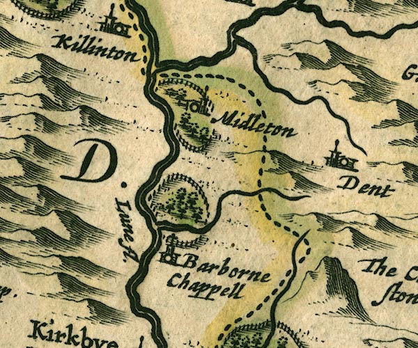
evidence:-   old map:- Jansson 1646
placename:-  Garstall
source data:-   Map, hand coloured engraving, Cumbria and Westmoria, ie Cumberland and Westmorland, scale about 3.5 miles to 1 inch, by John Jansson, Amsterdam, Netherlands, 1646.
image
JAN3SD68.jpg
"Garstall"
Buildings and tower. 
item:-  JandMN : 88
Image © see bottom of page

evidence:-   old map:- Morden 1695 (Wmd) 
placename:-  Garstall
source data:-   Map, hand coloured engraving, Westmorland, scale about 2.5 miles to 1 inch, by Robert Morden, published by Abel Swale, the Unicorn, St Paul's Churchyard, Awnsham, and John Churchill, the Black Swan, Paternoster Row, London, 1695.
image
MD10SD78.jpg
"Garstall"
Circle. 
item:-  JandMN : 24
Image © see bottom of page

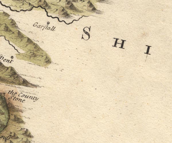
evidence:-   old map:- Simpson 1746 map (Wmd) 
placename:-  Garstall
source data:-   Map, uncoloured engraving, Westmorland, scale about 8 miles to 1 inch, printed by R Walker, Fleet Lane, London, 1746.
image
SMP2SDU.jpg
"Garstall"
Circle. 
item:-  Dove Cottage : 2007.38.59
Image © see bottom of page
places:-  
SD76209007 Banks Bridge (Garsdale) L
SD74768962 bridge, Garsdale (3) (Garsdale)
SD71879053 chapel, Garsdale (Garsdale)
SD71879046 East Bridge End (Garsdale)
SD71859055 East Bridge (Garsdale)
SD74528960 Garsdale Village Hall (Garsdale)
SD74778964 Hive, The (Garsdale)
SD74508963 Kirk Bridge (Garsdale) L
SD69909128 limekiln, Garsdale (2) (Garsdale)
SD772908 Little Town (Garsdale)
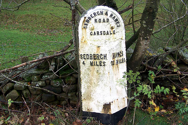
SD71759063 milestone, Garsdale (5) (Garsdale) L
SD76269010 Old Joinery, The (Garsdale)
SD74938967 Old Police House (Garsdale)
SD74898965 Pinfold Farm (Garsdale)
SD74918964 pinfold, Garsdale (Garsdale)
SD754897 Dandra Garth Burial Ground (Garsdale)
SD73628984 Slack House (Garsdale) L
SD74758964 Squirrel Cottage (Garsdale)
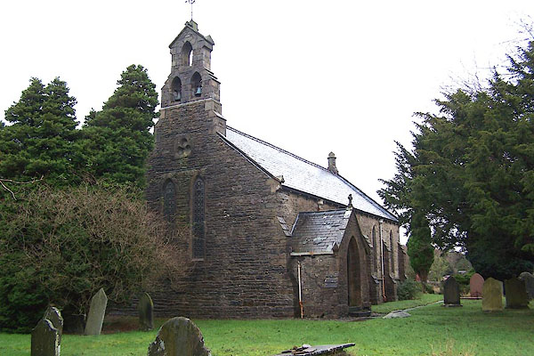
SD74628954 St John's Church (Garsdale) L
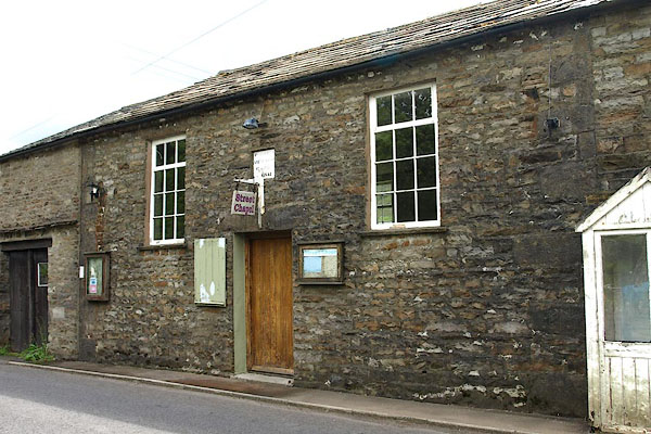
SD74808960 Street Chapel (Garsdale) L
SD71989068 Toll Bar Cottage (Garsdale)
button to lakes menu  Lakes Guides menu.