 Old Cumbria Gazetteer
 |
 |
|
| Banks Bridge, Garsdale | ||
| Banks Bridge | ||
| site name:- | Clough River | |
| Street:- | Hawes Road | |
| locality:- | Garsdale | |
| civil parish:- | Garsdale (formerly Yorkshire) | |
| county:- | Cumbria | |
| locality type:- | bridge | |
| coordinates:- | SD76209007 | |
| 1Km square:- | SD7690 | |
| 10Km square:- | SD79 | |
| references:- | Listed Buildings 2010 |
|
|
|
||
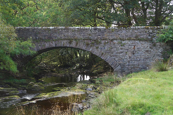 CBS83.jpg (taken 19.9.2014) |
||
|
|
||
| evidence:- | database:- Listed Buildings 2010 placename:- Banks Bridge |
|
| source data:- | courtesy of English Heritage "BANKS BRIDGE / / HAWES ROAD / GARSDALE / SOUTH LAKELAND / CUMBRIA / II / 484441 / SD7620590073" |
|
| source data:- | courtesy of English Heritage "Bridge over Clough River. Probably C18. Sandstone rubble brought to courses. Wide segmental arch with rubble voussoirs, a straight stone slate band and parapets with rounded coping stones. Forms group with Banks Farmhouse (qv)." |
|
|
|
||
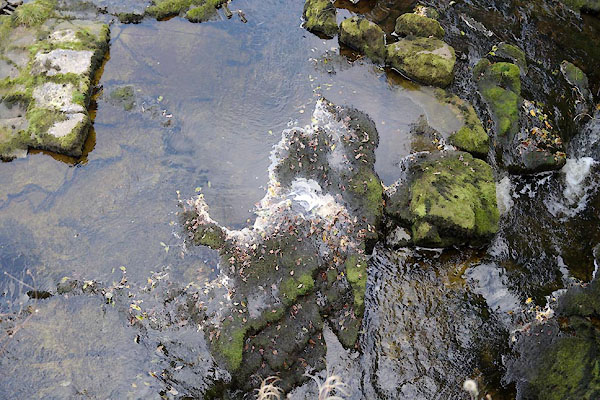 CBS84.jpg View of river. In dry weather. (taken 19.9.2014) 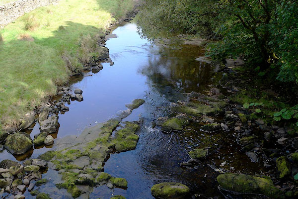 CBS85.jpg View of river. In dry weather. (taken 19.9.2014) |
||
|
|
||
 Lakes Guides menu.