Old Cumbria Gazetteer
 |
 |
|
||
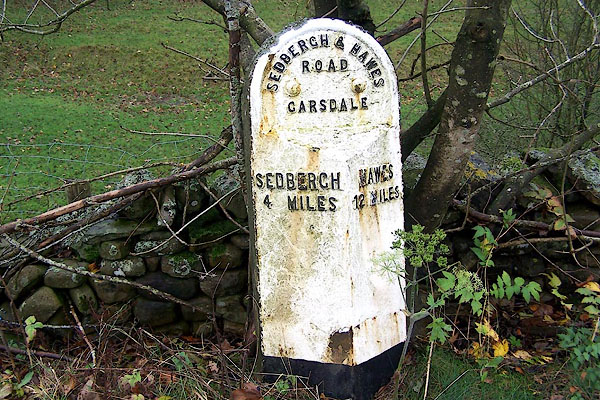
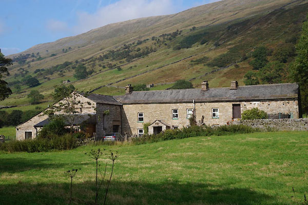
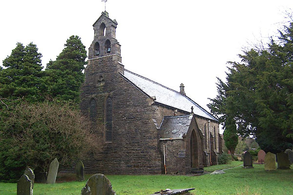
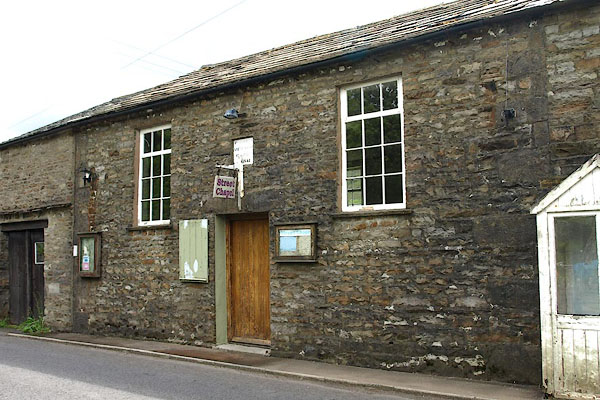
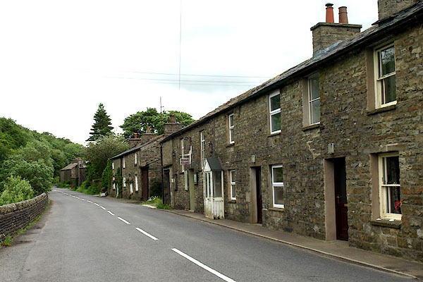
| Garsdale | ||||
| locality:- | Garsdale valley | |||
| civil parish:- | Garsdale (formerly Yorkshire) | |||
| county:- | Cumbria | |||
| locality type:- | locality | |||
| locality type:- | buildings | |||
| coordinates:- | SD74818963 (etc) | |||
| 1Km square:- | SD7489 | |||
| 10Km square:- | SD78 | |||
|
|
||||
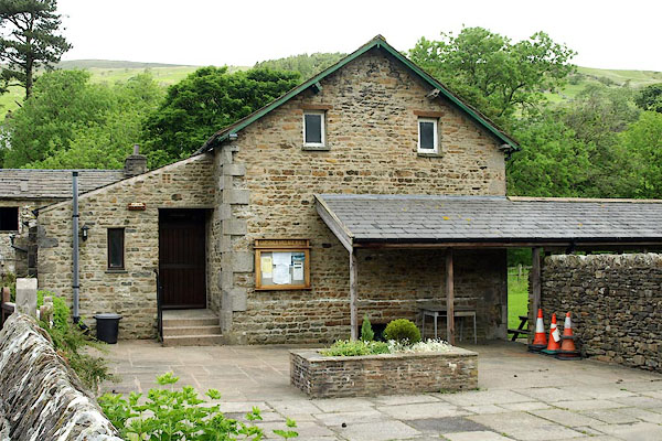
 BQV15.jpg (taken 18.6.2009) |
||||
|
|
||||
| evidence:- | old map:- Saxton 1579 placename:- Garstall |
|||
| source data:- | Map, hand coloured engraving, Westmorlandiae et Cumberlandiae Comitatus ie Westmorland
and Cumberland, scale about 5 miles to 1 inch, by Christopher Saxton, London, engraved
by Augustinus Ryther, 1576, published 1579-1645.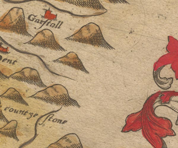 Sax9SD78.jpg Church, symbol for a parish or village, with a parish church. "Garstall" item:- private collection : 2 Image © see bottom of page |
|||
|
|
||||
| evidence:- | old map:- Mercator 1595 (edn?) placename:- Garstall |
|||
| source data:- | Map, hand coloured engraving, Westmorlandia, Lancastria, Cestria
etc, ie Westmorland, Lancashire, Cheshire etc, scale about 10.5
miles to 1 inch, by Gerard Mercator, Duisberg, Germany, 1595,
edition 1613-16. MER5WmdA.jpg "Garstall" circle item:- Armitt Library : 2008.14.3 Image © see bottom of page |
|||
|
|
||||
| evidence:- | old map:- Speed 1611 (Wmd) placename:- Garstall |
|||
| source data:- | Map, hand coloured engraving, The Countie Westmorland and
Kendale the Cheif Towne, scale about 2.5 miles to 1 inch, by
John Speed, 1610, published by George Humble, Popes Head Alley,
London, 1611-12.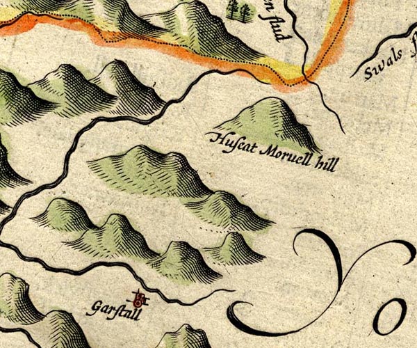 SP14SD79.jpg "Garstall" circle, building and tower item:- Armitt Library : 2008.14.5 Image © see bottom of page |
|||
|
|
||||
| evidence:- | perhaps old text:- Brathwaite 1638 placename:- Gastile |
|||
| source data:- | Poem, Drunken Barbaby's Four Journeys to the North of England,
by Richard Brathwaite, 1638, published 1716-1818 at least. goto source goto sourcePage 105:- "" "Thence to Gastile, I was drawn in" "To an Alehouse, near adjoining" "To a Chapel; I drank Stingo," "With a Butcher, and Domingo" "Th' Curate, who to my discerning," "Was not guilty of much Learning." |
|||
|
|
||||
| evidence:- | old map:- Jansson 1646 placename:- Garstall |
|||
| source data:- | Map, hand coloured engraving, Cumbria and Westmoria, ie
Cumberland and Westmorland, scale about 3.5 miles to 1 inch, by
John Jansson, Amsterdam, Netherlands, 1646.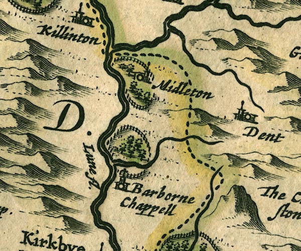 JAN3SD68.jpg "Garstall" Buildings and tower. item:- JandMN : 88 Image © see bottom of page |
|||
|
|
||||
| evidence:- | old map:- Morden 1695 (Wmd) placename:- Garstall |
|||
| source data:- | Map, hand coloured engraving, Westmorland, scale about 2.5 miles to 1 inch, by Robert
Morden, published by Abel Swale, the Unicorn, St Paul's Churchyard, Awnsham, and John
Churchill, the Black Swan, Paternoster Row, London, 1695. MD10SD78.jpg "Garstall" Circle. item:- JandMN : 24 Image © see bottom of page |
|||
|
|
||||
| evidence:- | old map:- Simpson 1746 map (Wmd) placename:- Garstall |
|||
| source data:- | Map, uncoloured engraving, Westmorland, scale about 8 miles to 1
inch, printed by R Walker, Fleet Lane, London, 1746.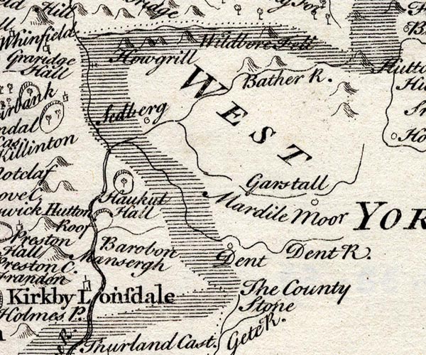 SMP2SDU.jpg "Garstall" Circle. item:- Dove Cottage : 2007.38.59 Image © see bottom of page |
|||
|
|
||||
| places:- |
|
|||
|
||||
|
||||
|
||||
|
||||
|
||||
|
||||
|
||||
|
||||
|
||||
|
||||
|
||||
|
||||
|
||||
|
||||
|
||||
|
||||
|
||||
|
||||
|
||||
|
||||
Lakes Guides menu.