


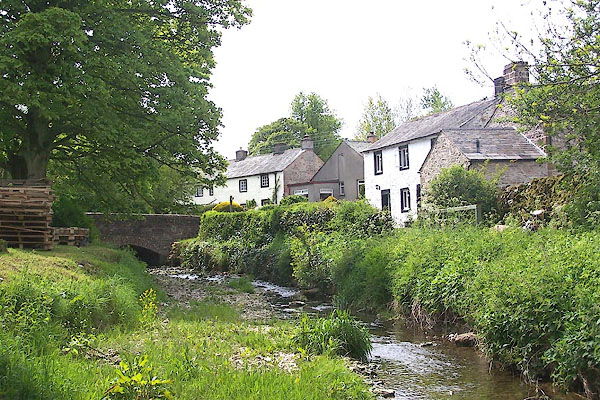
BME56.jpg (taken 30.5.2006)
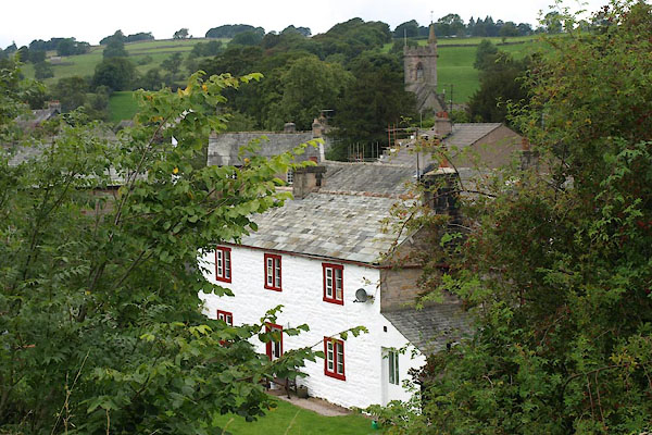
BVH91.jpg (taken 2.9.2011)
placename:- Crosby Ravensworth
placename:- Crosbyeravenswath
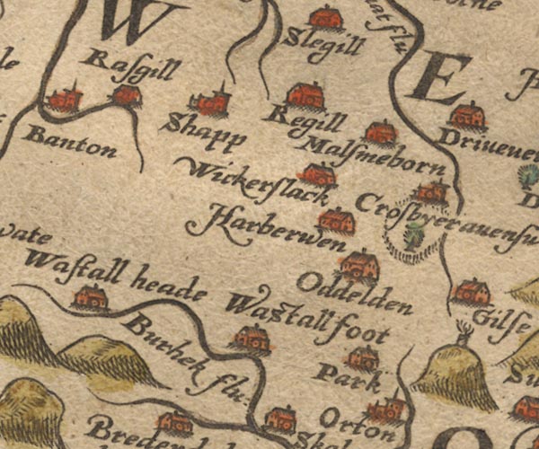
Sax9NY51.jpg
Church, symbol for a parish or village, with a parish church. "Crosbyeravenswath"
item:- private collection : 2
Image © see bottom of page
placename:- Crosbieravenswath

MER5WmdA.jpg
"Crosbieravenswath"
circle
item:- Armitt Library : 2008.14.3
Image © see bottom of page
placename:- Crosbyeravenswath
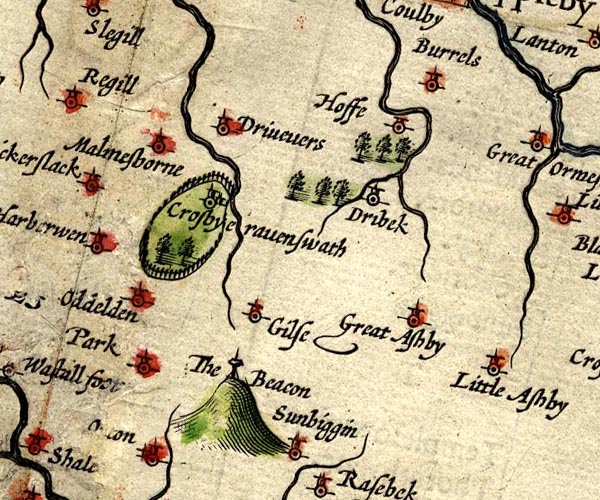
SP14NY61.jpg
"Crosbyeravenswath"
circle, building and tower
item:- Armitt Library : 2008.14.5
Image © see bottom of page
placename:- Crosby Ravensworth
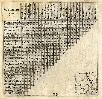 click to enlarge
SIM3.jpg
"Crosby Rave~sw: N"
and tabulated distances
item:- private collection : 50.39
Image © see bottom of page
placename:- Crosbyerawenswath
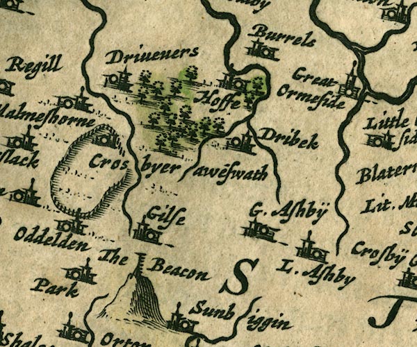
JAN3NY61.jpg
"Crosbyerawe~swath"
Buildings and tower.
item:- JandMN : 88
Image © see bottom of page
placename:- Crosbyerawensworth
 click to enlarge
SEL7.jpg
"Crosbyerawensworth"
circle, italic lowercase text; settlement or house
item:- Dove Cottage : 2007.38.87
Image © see bottom of page
placename:- Crosbyravenswath
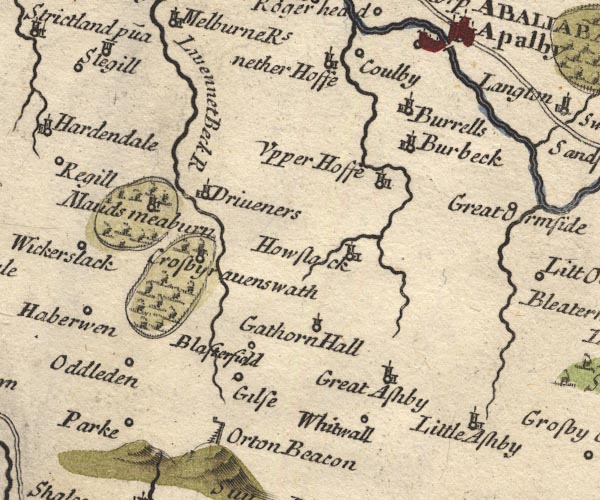
MD10NY61.jpg
"Crosbyravenswath"
Circle, building and tower, in a park.
item:- JandMN : 24
Image © see bottom of page
placename:- Crosby
 click to enlarge
BD12.jpg
"Crosby"
circle, italic lowercase text; village, hamlet or locality
item:- Dove Cottage : 2007.38.62
Image © see bottom of page
placename:- Crosby
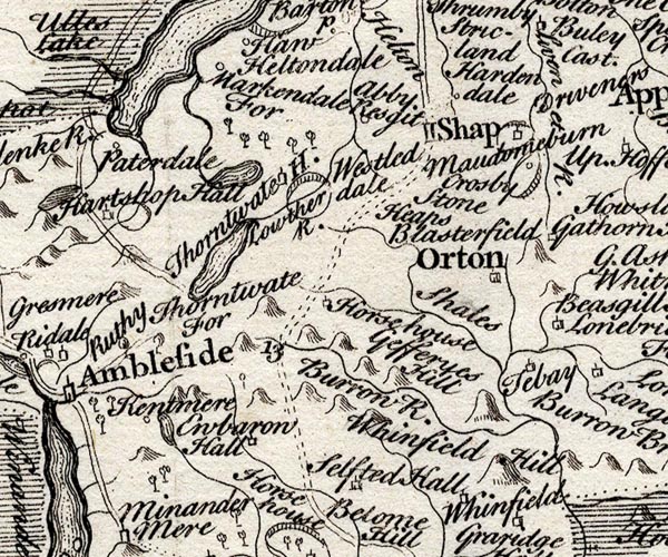
SMP2NYK.jpg
"Crosby"
Circle and park.
item:- Dove Cottage : 2007.38.59
Image © see bottom of page
placename:- Crosby Ravensworth
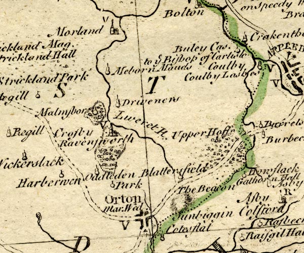
BO18NY51.jpg
"Crosby Ravensworth / V"
circle, building and tower, vicarage
item:- Armitt Library : 2008.14.10
Image © see bottom of page
placename:- Crosby Ravensworth
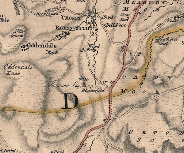
J5NY61SW.jpg
"CROSBY RAVENSWORTH"
blocks on a street plan, labelled in block caps; settlement, market town?
item:- National Library of Scotland : EME.s.47
Image © National Library of Scotland
placename:- Crosby Ravensworth
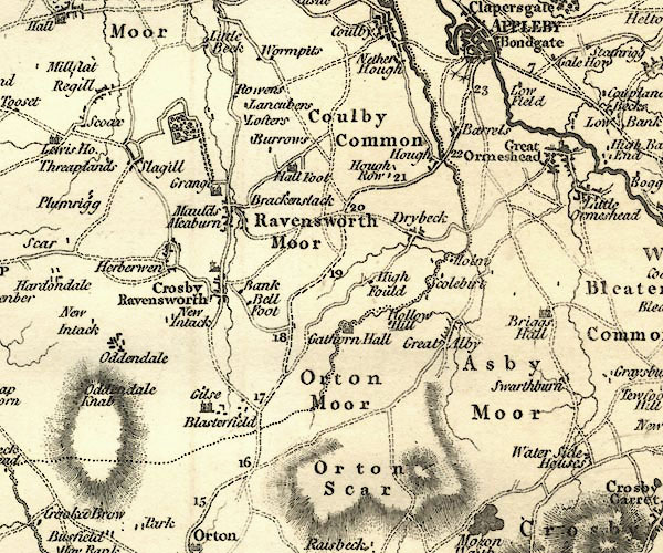
CY24NY61.jpg
"Crosby Ravensworth"
blocks, church symbol, labelled in upright lowercase; village
item:- JandMN : 129
Image © see bottom of page
placename:- Crosby Ravensworth
item:- population; swine; ham
 goto source
"..."
"CROSBY RAVENSWORTH, a parish in West ward, Westmoreland, 3½miles from Appleby, and 275 from London; containing 151 houses and 789 inhabitants. A number of swine are bred in this parish, and the hams cured here, as well as in other parts of the country, are of a peculiarly fine flavour; yet there is nothing particular in their cure, except their being dryed over peat. In this parish are three good grammar schools. The church is a gothic building, with a square tower and three bells. The living is a vicarage, value 7l. 13s. 4d. in the patronage of Mary viscountess Andover."
"..."
placename:- Crosby Ravensworth
 click to enlarge
COP4.jpg
"Crosby Ravensworth"
circle; village or hamlet
item:- Dove Cottage : 2007.38.53
Image © see bottom of page
placename:- Crosby
item:- deer
 goto source
page 47 "... "Sir Launcelot Threlkeld, who lived in the reign of Henry VII., was wont to say, he had three noble houses, one for pleasure, Crosby, in Westmoreland, where he had a park full of deer; one for profit and warmth, wherein to reside in winter, namely, Yanwith, nigh Penrith; and the third, Threlkeld, (on the edge of the Vale of Keswick), well stocked with tenants to go with him to the wars." ..."
placename:- Crosby Ravensworth
 click to enlarge
HA18.jpg
"Crosby Ravensworth"
circle, italic lowercase text; settlement
item:- Armitt Library : 2008.14.58
Image © see bottom of page
 goto source
Gentleman's Magazine 1825 part 1 p.513
From the Compendium of County History:- "Addison, Lancelot, learned Dean of Lichfield, Crosby Ravensworth, 1632."
placename:- Crosby Ravensworth
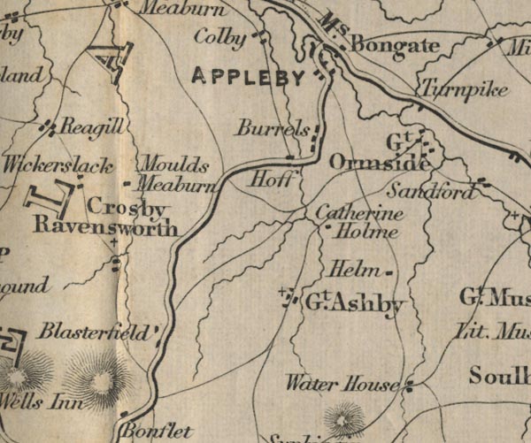
FD02NY61.jpg
"Crosby Ravensworth"
item:- JandMN : 100.1
Image © see bottom of page
placename:- Crosby Ravensworth
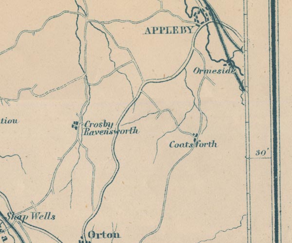
GAR2NY61.jpg
"Crosby Ravensworth"
blocks, settlement
item:- JandMN : 82.1
Image © see bottom of page
placename:- Crosby Ravensworth
 click to enlarge
POF7Cm.jpg
"Crosby Ravensworth"
map date 1909
placename:- Crosby Ravensworth
 click to enlarge
PF10Cm.jpg
"Crosby Ravensworth"
map date 1892
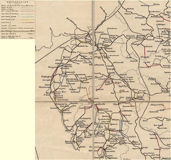
placename:- Crosby Ravensworth
 click to enlarge
POF2Cm.jpg
"Crosby Ravensworth"
map date 1890
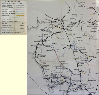
placename:- Crosby Ravensworth
 click to enlarge
POF8Cm.jpg
"Crosby Ravensworth"
map date 1873
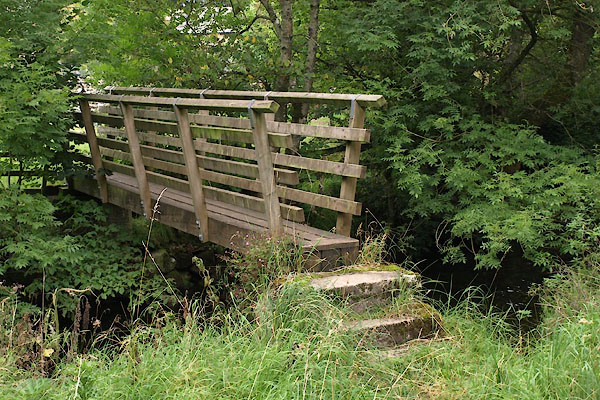 |
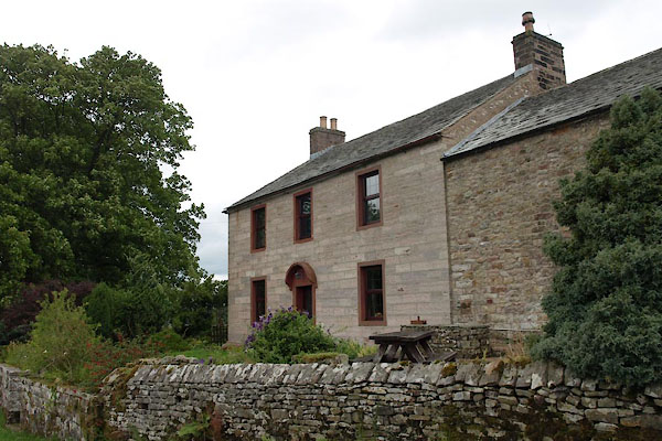
NY62371476 Bank Bridge (Crosby Ravensworth) |
 |
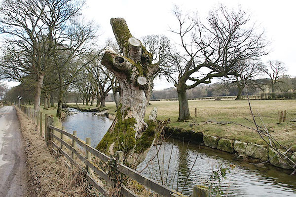
NY62451466 Bank, The (Crosby Ravensworth) |
 |
NY62241499 Batling Tree (Crosby Ravensworth) |
 |
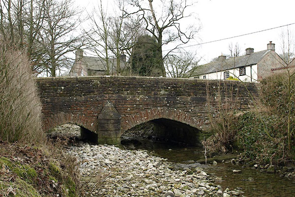
NY62641437 Bell Foot (Crosby Ravensworth) |
 |
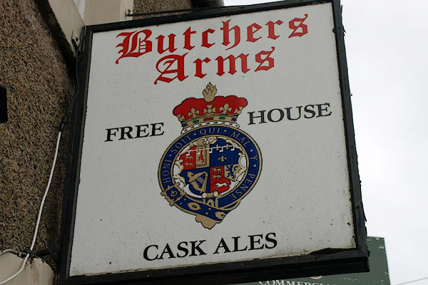
NY62021471 bridge, Crosby Ravensworth (2) (Crosby Ravensworth) |
 |
NY62031462 Butchers Arms (Crosby Ravensworth) |
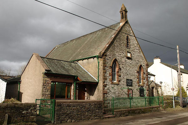 |
NY62051436 chapel, Crosby Ravensworth (Crosby Ravensworth) |
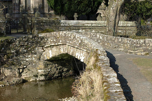 |
NY62141480 Church Bridge (Crosby Ravensworth) L |
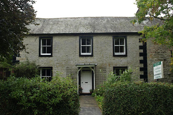 |
NY62101409 Croft House (Crosby Ravensworth) |
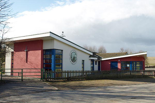 |
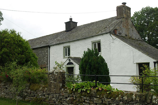
NY62201499 Crosby Ravensworth CofE Primary School (Crosby Ravensworth) |
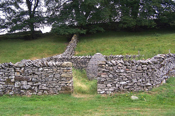 |
NY62081427 Crosby Ravensworth Pinfold (Crosby Ravensworth) |
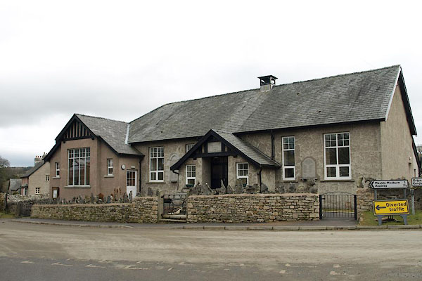 |
NY62061471 Crosby Ravensworth Village Hall (Crosby Ravensworth) |
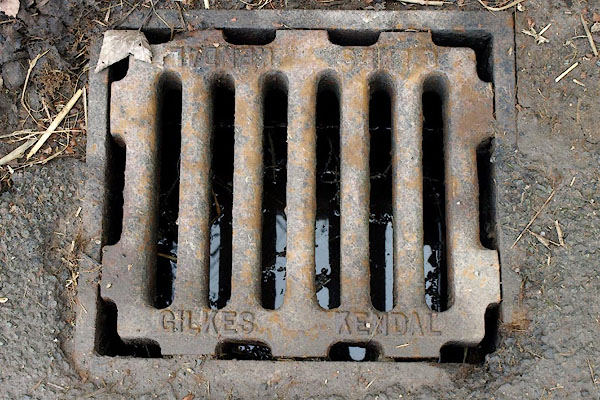 |
NY62201487 drain, Crosby Ravensworth (Crosby Ravensworth) |
 |
NY62081400 Fell Gate (Crosby Ravensworth) L |
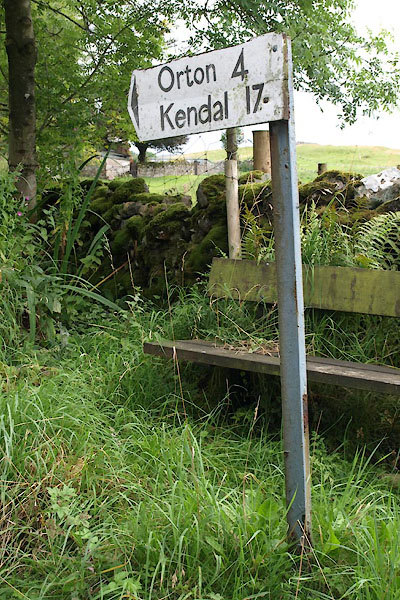 |
NY62091404 fingerpost, Crosby Ravensworth (Crosby Ravensworth) |
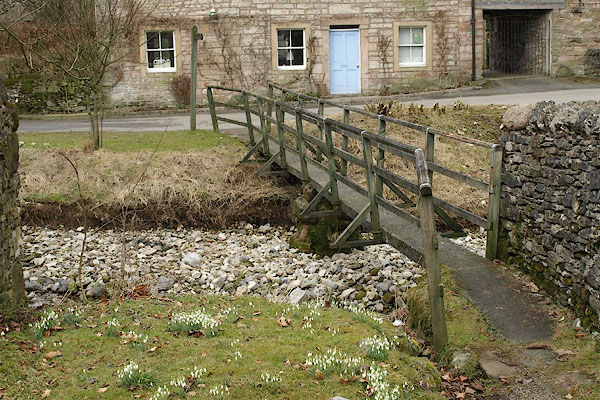 |
NY61991464 footbridge, Crosby Ravensworth (Crosby Ravensworth) |
 |
NY62301487 ford, Crosby Ravensworth (Crosby Ravensworth) |
 |
NY61351494 Harberwain Lane (Crosby Ravensworth) |
 |
NY62101474 Howden Bridge (Crosby Ravensworth) |
 |
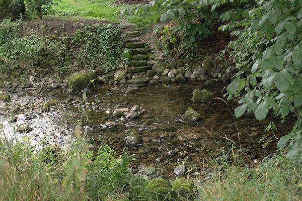
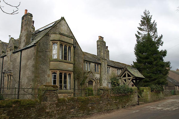
NY61951451 Jenny Well (Crosby Ravensworth) |
 |
NY62051455 Jennywell Hall (Crosby Ravensworth) L |
 |
NY62221506 Low Green (Crosby Ravensworth) |
 |
NY62281495 Low Row (Crosby Ravensworth) |
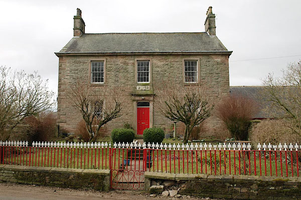 |
NY62051448 Midtown Farm (Crosby Ravensworth) |
 |
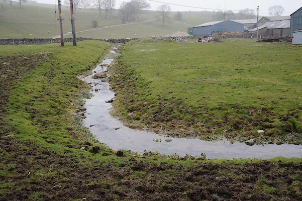
NY62221474 mill, Crosby Ravensworth (Crosby Ravensworth) |
 |
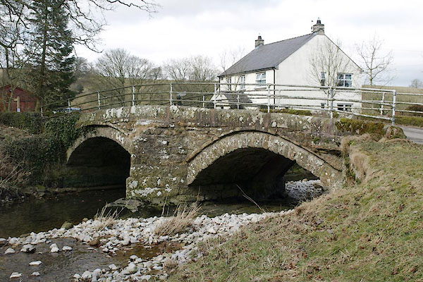
NY62001479 moat, Crosby Ravensworth (Crosby Ravensworth) |
 |
NY62231491 Monks Bridge (Crosby Ravensworth) L |
 |
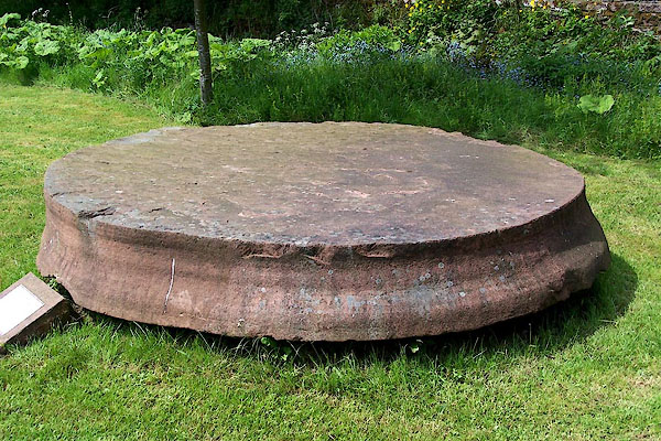
NY62211479 Monks Garth (Crosby Ravensworth) |
 |
NY62171482 monument, Crosby Ravensworth (Crosby Ravensworth) |
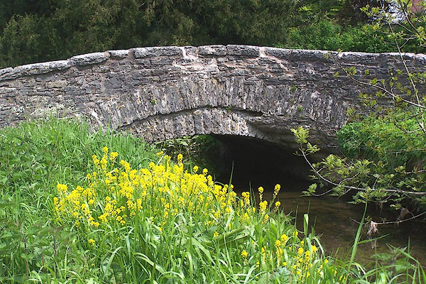 |
NY62211484 New Bridge (Crosby Ravensworth) L |
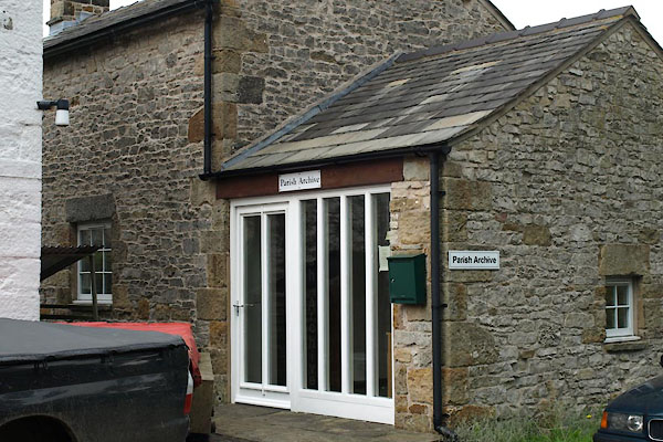 |
NY62021474 Parish Archives (Crosby Ravensworth) |
 |
NY619149 park, Crosby Ravensworth (Crosby Ravensworth) |
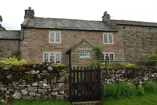 |
NY62421482 Ravenseat (Crosby Ravensworth) L |
 |
NY62161478 Rising Sun (Crosby Ravensworth) |
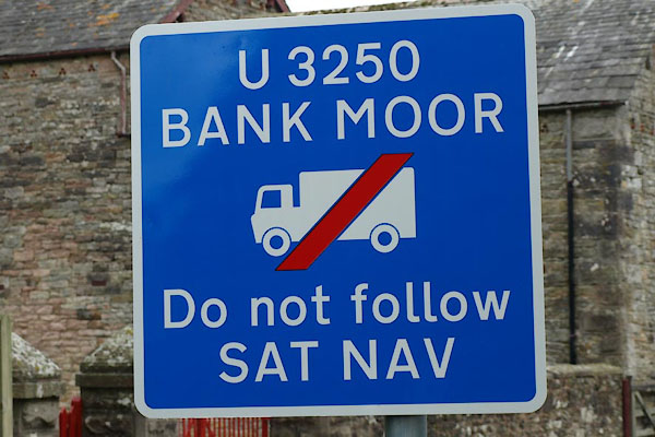 |
NY62241491 roadsign, Crosby Ravensworth (Crosby Ravensworth) |
 |
NY62291478 School House (Crosby Ravensworth) |
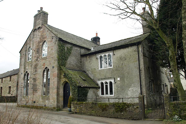 |
NY61981468 Crosby Ravensworth Dame School (Crosby Ravensworth) |
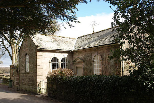 |
NY62231488 Monks Bridge (Crosby Ravensworth) L |
 |
NY61911493 Spring Wood (Crosby Ravensworth) |
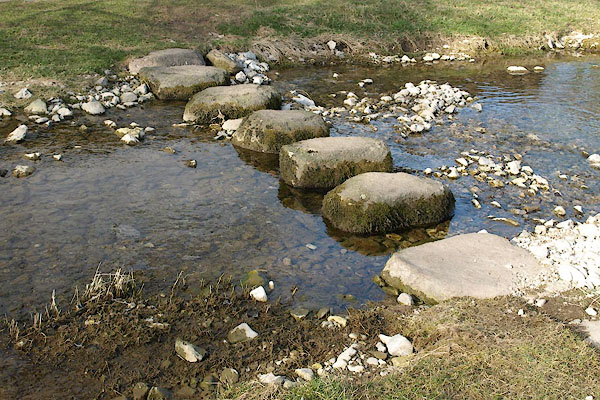 |
NY62091476 stepping stones, Crosby Ravensworth (Crosby Ravensworth) |
 |
NY62101473 Tenter Row (Crosby Ravensworth) |
 |
NY62111404 Town Head (Crosby Ravensworth) |
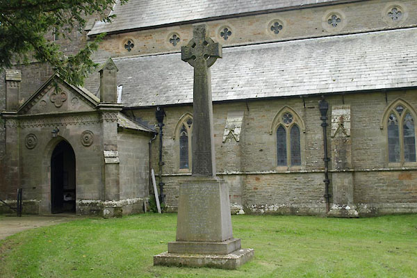 |
NY62141483 war memorial, Crosby Ravensworth (Crosby Ravensworth) |
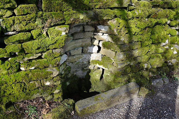 |
NY62071476 water trough, Crosby Ravensworth (Crosby Ravensworth) |
 |
NY62091422 Well Head (Crosby Ravensworth) |
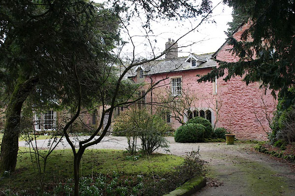 |
NY62261484 Weston House (Crosby Ravensworth) |
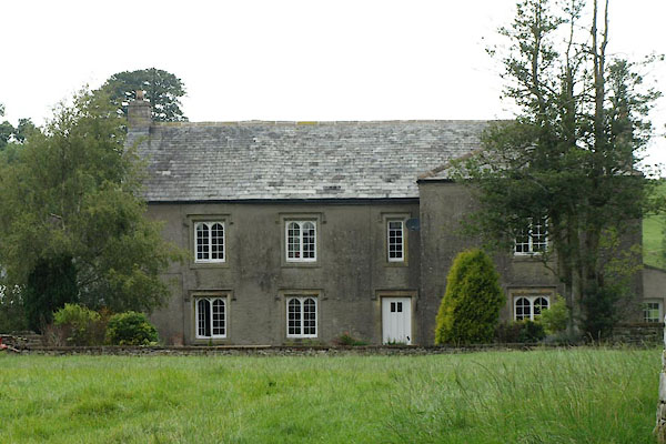 |
NY62051484 Crosby Ravensworth Hall (Crosby Ravensworth) L |
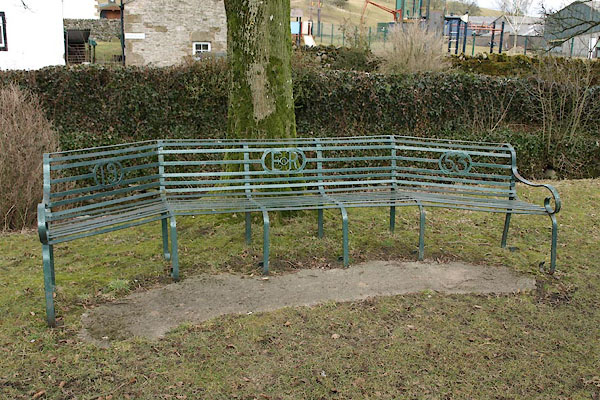 |
NY62041472 seat, Crosby Ravensworth (Crosby Ravensworth) |
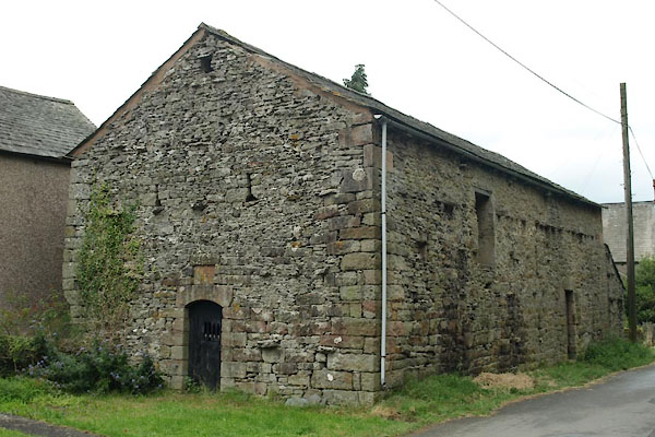 |
NY62061432 barn, Crosby Ravensworth (2) (Crosby Ravensworth) |
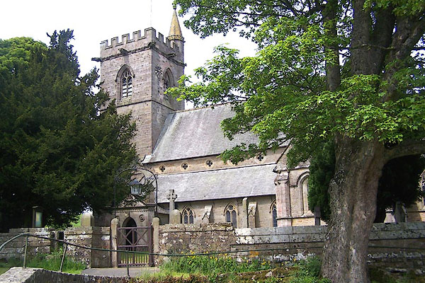 |
NY62141484 St Lawrence's Church (Crosby Ravensworth) L |
