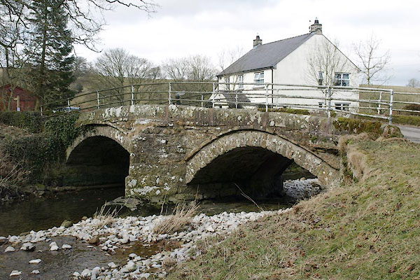


BSG67.jpg (taken 12.3.2010)
placename:- Monk's Bridge
placename:- Monks' Bridge
courtesy of English Heritage
"MONKS' BRIDGE OVER THE RIVER LYVENNET / / / CROSBY RAVENSWORTH / EDEN / CUMBRIA / II / 74032 / NY6223614906"
courtesy of English Heritage
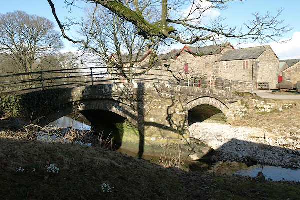
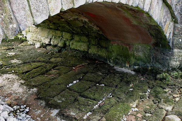
"Road bridge. First mentioned in 1702 but porbably C17; reputed locally to be connected with a nearby grange of Whitby Abbey. Underside suggests that it has been widened at some time. Coursed, squared rubble. 2 segmental arches, each spanning c.18 ft, with a central cutwater. Roadway is c.8 ft wide with low stone parapets topped by tubular railings which are not of interest."

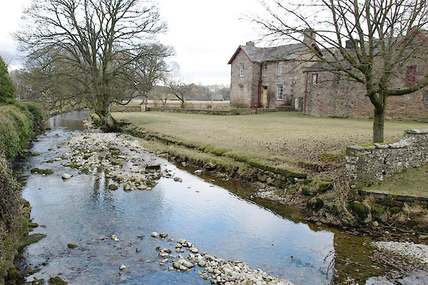
BSG69.jpg View of river.
(taken 12.3.2010)

BSH50.jpg (taken 14.3.2010)

BSG68.jpg Protective masonry in the river bed; and evidence of bridge widening.
(taken 12.3.2010)

 Lakes Guides menu.