Old Cumbria Gazetteer
 |
 |
|
||
| Lyvennet Beck | ||||
| runs into:- |  Lyvennet, River Lyvennet, River |
|||
|
|
||||
| civil parish:- | Crosby Ravensworth (formerly Westmorland) | |||
| county:- | Cumbria | |||
| locality type:- | river | |||
| locality type:- | boundary (township?) | |||
| 1Km square:- | NY6215 (etc etc) | |||
| 10Km square:- | NY61 | |||
|
|
||||
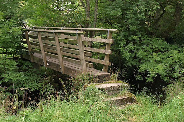
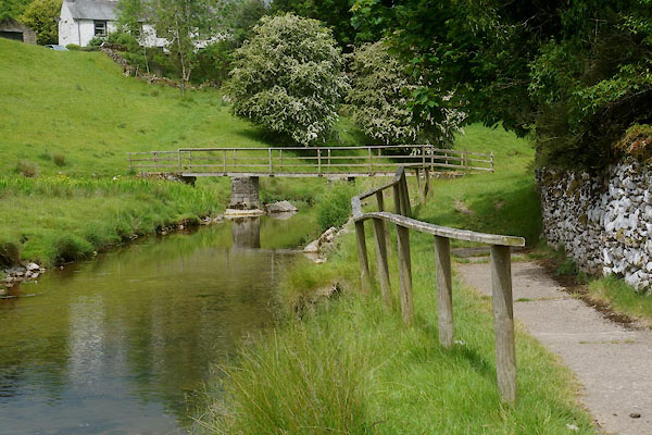
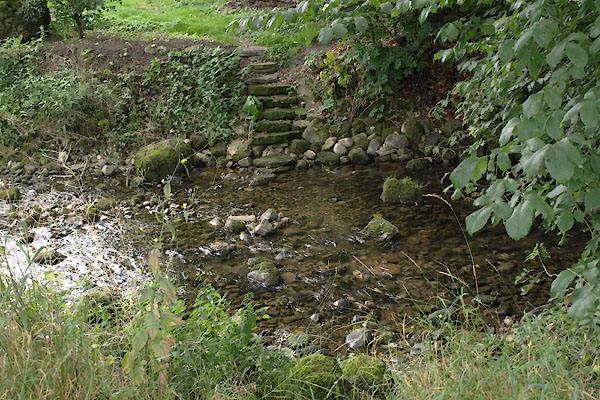
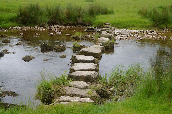
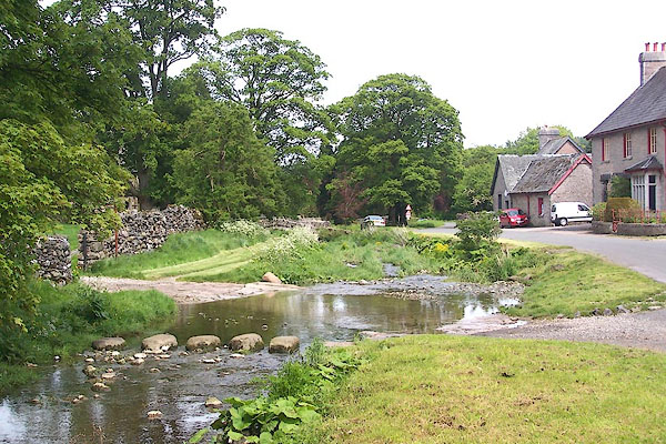 BME55.jpg At Crosby Ravensworth. (taken 30.5.2006) 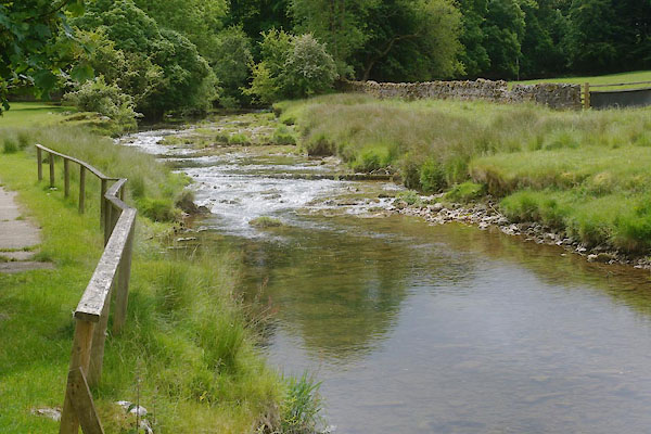 CDJ43.jpg At Maulds Meaburn. (taken 20.6.2015) |
||||
|
|
||||
| evidence:- | old map:- OS County Series (Wmd 14 8) placename:- Lyvennet Beck |
|||
| source data:- | Maps, County Series maps of Great Britain, scales 6 and 25
inches to 1 mile, published by the Ordnance Survey, Southampton,
Hampshire, from about 1863 to 1948. OS County Series (Wmd 14 16) OS County Series (Wmd 21 4) |
|||
| source data:- | Maps, County Series maps of Great Britain, scales 6 and 25
inches to 1 mile, published by the Ordnance Survey, Southampton,
Hampshire, from about 1863 to 1948. shows some nice example of ox bows which are still the parish boundary |
|||
|
|
||||
| evidence:- | old map:- Saxton 1579 |
|||
| source data:- | Map, hand coloured engraving, Westmorlandiae et Cumberlandiae Comitatus ie Westmorland
and Cumberland, scale about 5 miles to 1 inch, by Christopher Saxton, London, engraved
by Augustinus Ryther, 1576, published 1579-1645.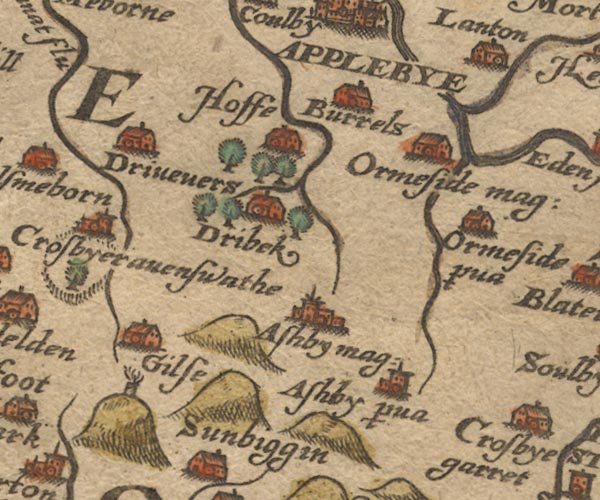 Sax9NY61.jpg item:- private collection : 2 Image © see bottom of page |
|||
|
|
||||
| evidence:- | old map:- Jansson 1646 |
|||
| source data:- | Map, hand coloured engraving, Cumbria and Westmoria, ie
Cumberland and Westmorland, scale about 3.5 miles to 1 inch, by
John Jansson, Amsterdam, Netherlands, 1646.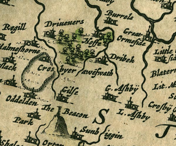 JAN3NY61.jpg Double wiggly line, tapering to single. item:- JandMN : 88 Image © see bottom of page |
|||
|
|
||||
| evidence:- | old map:- Morden 1695 (Wmd) placename:- Livennet Beck River |
|||
| source data:- | Map, hand coloured engraving, Westmorland, scale about 2.5 miles to 1 inch, by Robert
Morden, published by Abel Swale, the Unicorn, St Paul's Churchyard, Awnsham, and John
Churchill, the Black Swan, Paternoster Row, London, 1695.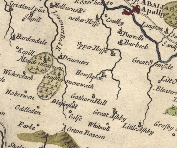 MD10NY61.jpg "Livennet Beck R" item:- JandMN : 24 Image © see bottom of page |
|||
|
|
||||
| evidence:- | old map:- Simpson 1746 map (Wmd) placename:- Livenet River |
|||
| source data:- | Map, uncoloured engraving, Westmorland, scale about 8 miles to 1
inch, printed by R Walker, Fleet Lane, London, 1746. SMP2NYK.jpg "Livenet R." Wiggly line. item:- Dove Cottage : 2007.38.59 Image © see bottom of page |
|||
|
|
||||
| evidence:- | old map:- Bowen and Kitchin 1760 |
|||
| source data:- | Map, hand coloured engraving, A New Map of the Counties of
Cumberland and Westmoreland Divided into their Respective Wards,
scale about 4 miles to 1 inch, by Emanuel Bowen and Thomas
Kitchin et al, published by T Bowles, Robert Sayer, and John
Bowles, London, 1760.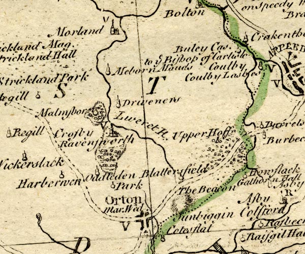 BO18NY51.jpg wiggly line, into River Lyvennet item:- Armitt Library : 2008.14.10 Image © see bottom of page |
|||
|
|
||||
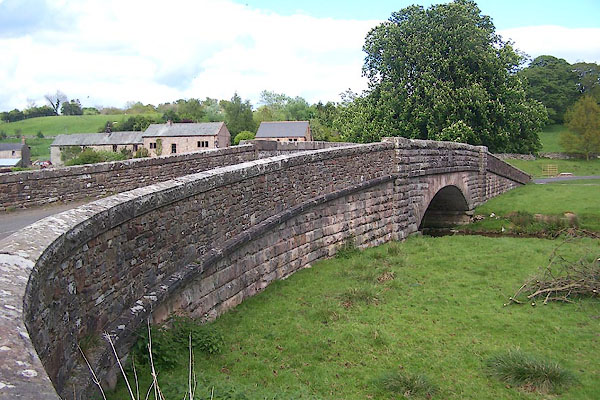
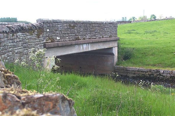
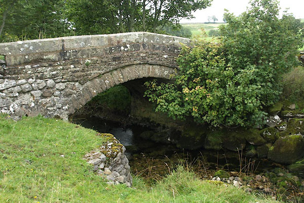
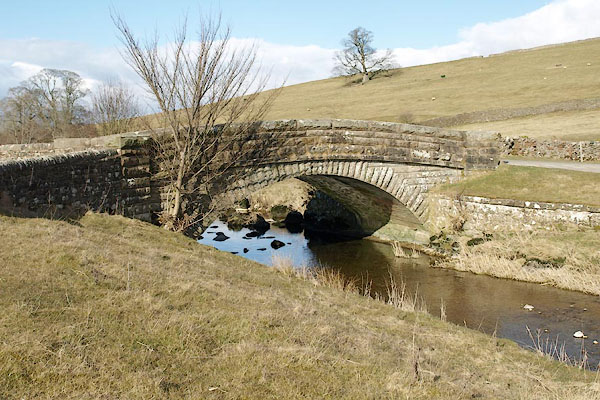
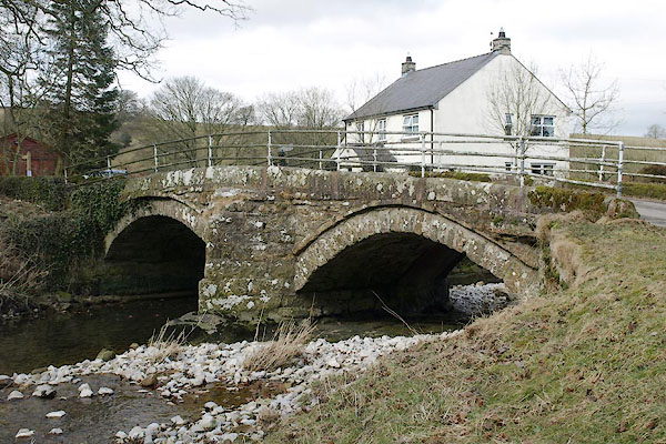
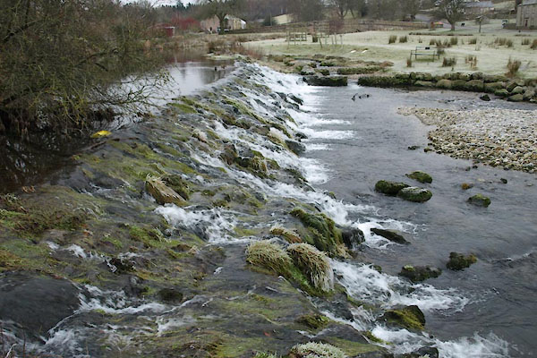
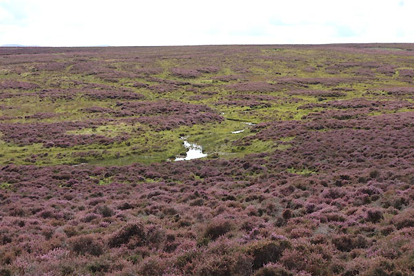 CGM04.jpg On Crosby Ravensworth Fell, (taken 2.9.2017) 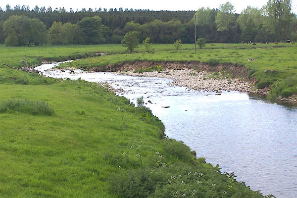 BME36.jpg At Dairy Bridge. (taken 30.5.2006) 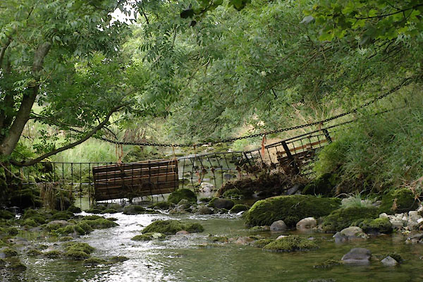 BVH63.jpg At Holme Bridge (taken 2.9.2011) 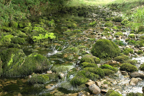 BVH64.jpg At Holme Bridge (taken 2.9.2011) 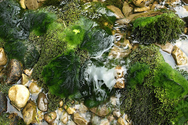 BVH65.jpg At Holme Bridge (taken 2.9.2011) 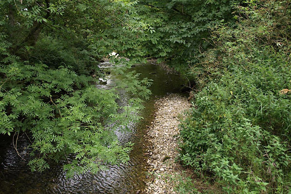 BVH94.jpg At Bank Bridge (taken 2.9.2011) 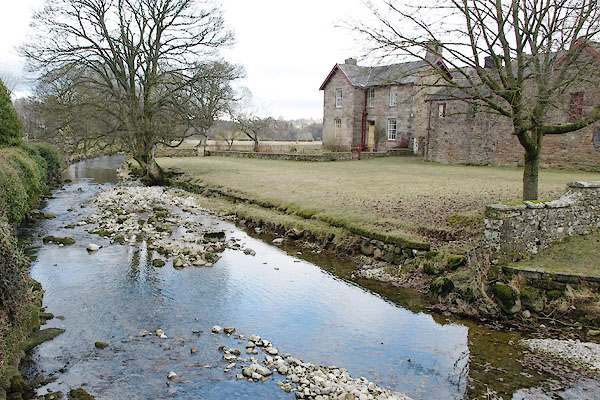 BSG69.jpg At Monks Bridge, Crosby Ravensworth. (taken 12.3.2010) 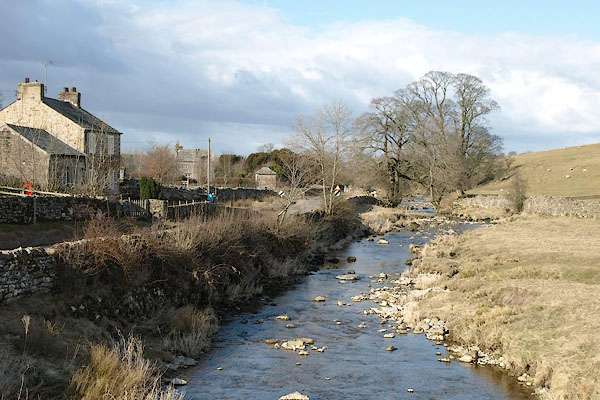 BSH48.jpg At Low Bridge, Maulds Meaburn. (taken 14.3.2010) 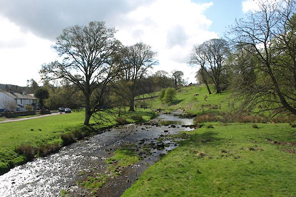 BWF57.jpg At High Bridge, Maulds Meaburn. (taken 13.4.2012) |
||||
|
|
||||
| places:- |
|
|||
|
||||
|
||||
|
||||
|
||||
|
||||
|
||||
|
||||
|
||||
|
||||
|
||||
|
||||
Lakes Guides menu.