 Old Cumbria Gazetteer
 |
 |
|
| Holme Bridge, Crosby Ravensworth | ||
| Holme Bridge | ||
| site name:- | Lyvennet Beck | |
| civil parish:- | Crosby Ravensworth (formerly Westmorland) | |
| county:- | Cumbria | |
| locality type:- | bridge | |
| coordinates:- | NY62271381 | |
| 1Km square:- | NY6213 | |
| 10Km square:- | NY61 | |
|
|
||
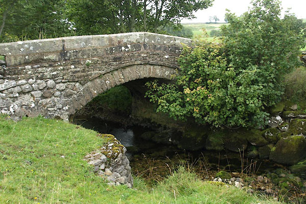 BVH62.jpg (taken 2.9.2011) |
||
|
|
||
| evidence:- | old map:- OS County Series (Wmd 21 4) placename:- Woodfoot Bridge |
|
| source data:- | Maps, County Series maps of Great Britain, scales 6 and 25
inches to 1 mile, published by the Ordnance Survey, Southampton,
Hampshire, from about 1863 to 1948. |
|
|
|
||
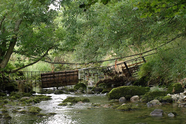 BVH63.jpg View of river. (taken 2.9.2011) 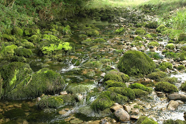 BVH64.jpg View of river. (taken 2.9.2011) 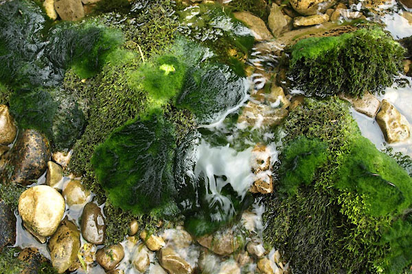 BVH65.jpg View of river. (taken 2.9.2011) |
||
|
|
||
 Lakes Guides menu.