 |
 |
   |
included in:-
|
 road, Kendal to Appleby road, Kendal to Appleby
 road, Sedbergh to Orton road, Sedbergh to Orton
|
|
|
|
Tebay to Appleby |
|
Appleby to Tebay |
|
B6260 |
| civil parish:- |
Tebay (formerly Westmorland) |
| civil parish:- |
Orton S (formerly Westmorland) |
| civil parish:- |
Crosby Ravensworth (formerly Westmorland) |
| civil parish:- |
Hoff (formerly Westmorland) |
| civil parish:- |
Appleby-in-Westmorland (formerly Westmorland) |
| county:- |
Cumbria |
| locality type:- |
road route |
| 10Km square:- |
NY60 |
| 10Km square:- |
NY61 |
| 10Km square:- |
NY62 |
|
|
| evidence:- |
old map:- Bowen and Kitchin 1760
|
| source data:- |
Map, hand coloured engraving, A New Map of the Counties of
Cumberland and Westmoreland Divided into their Respective Wards,
scale about 4 miles to 1 inch, by Emanuel Bowen and Thomas
Kitchin et al, published by T Bowles, Robert Sayer, and John
Bowles, London, 1760.
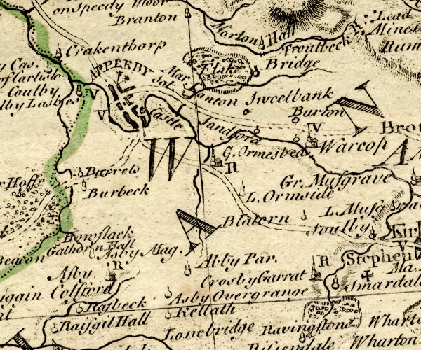
BO18NY61.jpg
double line, dotted
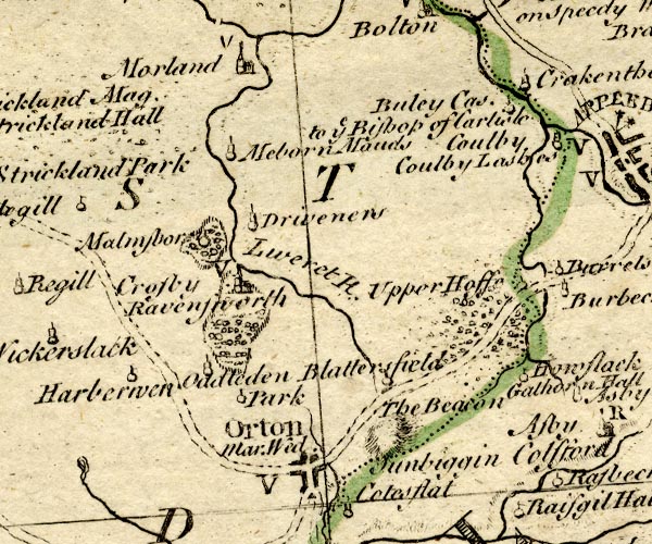
BO18NY51.jpg
double line, dotted
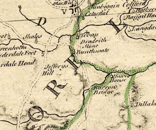
BO18NY50.jpg
double line, dotted
item:- Armitt Library : 2008.14.10
Image © see bottom of page
|
|
|
| evidence:- |
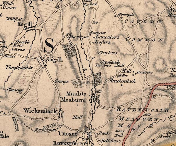
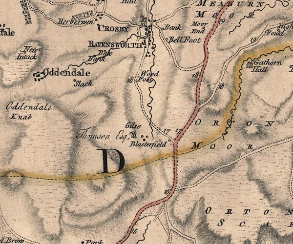
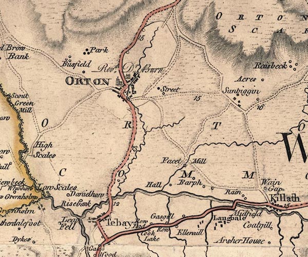
old map:- Jefferys 1770 (Wmd)
|
| source data:- |
Map, 4 sheets, The County of Westmoreland, scale 1 inch to 1
mile, surveyed 1768, and engraved and published by Thomas
Jefferys, London, 1770.
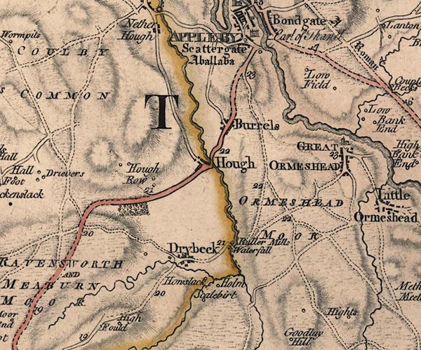
J5NY61NE.jpg
J5NY61NW.jpg
J5NY61SW.jpg
J5NY60NW.jpg
double line; road, bold, main road, with mile numbers
item:- National Library of Scotland : EME.s.47
Images © National Library of Scotland |
|
|
| evidence:- |
old map:- Cary 1789 (edn 1805)
|
| source data:- |
Map, uncoloured engraving, Westmoreland, scale about 2.5 miles
to 1 inch, by John Cary, London, 1789; edition 1805.
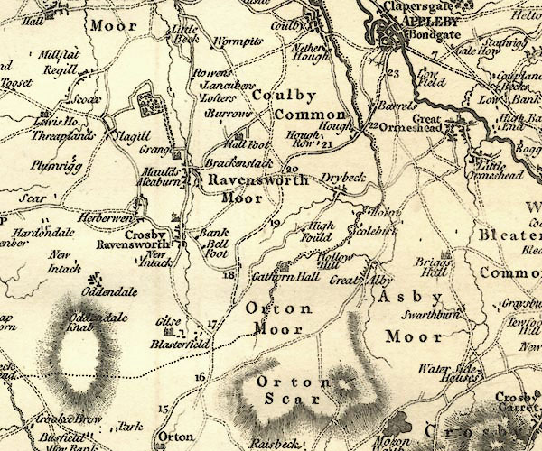
CY24NY61.jpg
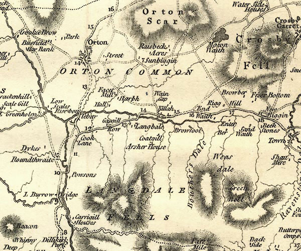
CY24NY60.jpg
double line, bold light, numbered miles; main road
item:- JandMN : 129
Image © see bottom of page
|
|
|
| evidence:- |
road map:- Cary 1790 (Wmd/edn 1792)
|
| source data:- |
Road map, hand coloured engraving, Westmoreland, scale about
11.5 miles to 1 inch, by John Cary, 181 Strand, London, 1790,
edn 1792.
 click to enlarge click to enlarge
CY16.jpg
double line
item:- JandMN : 44
Image © see bottom of page
|
|
|
| evidence:- |
old map:- Cooke 1802
|
| source data:- |
Map, Westmoreland ie Westmorland, scale about 12 miles to 1
inch, by George Cooke, 1802, published by Sherwood, Jones and
Co, Paternoster Road, London, 1824.
 click to enlarge click to enlarge
GRA1Wd.jpg
double line, light dark solid; road AND double line, light dark dotted; unfenced road
item:- Hampshire Museums : FA2000.62.4
Image © see bottom of page
|
|
|
| evidence:- |
old map:- Cooper 1808
|
| source data:- |
Map, hand coloured engraving, Westmoreland ie Westmorland, scale
about 9 miles to 1 inch, by H Cooper, 1808, published by R
Phillips, Bridge Street, Blackfriars, London, 1808.
 click to enlarge click to enlarge
COP4.jpg
double line; road
item:- Dove Cottage : 2007.38.53
Image © see bottom of page
|
|
|
| evidence:- |
old map:- Wallis 1810 (Wmd)
|
| source data:- |
Road map, Westmoreland, scale about 19 miles to 1 inch, by James
Wallis, 77 Berwick Street, Soho, 1810, published by W Lewis,
Finch Lane, London, 1835?
 click to enlarge click to enlarge
WAL5.jpg
double line, light bold; 'Turnpike Road'
item:- JandMN : 63
Image © see bottom of page
|
|
|
| evidence:- |
old map:- Hall 1820 (Wmd)
|
| source data:- |
Map, hand coloured engraving, Westmoreland ie Westmorland, scale
about 14.5 miles to 1 inch, by Sidney Hall, London, 1820,
published by Samuel Leigh, 18 Strand, London, 1820-31.
 click to enlarge click to enlarge
HA18.jpg
single line, solid; minor road; Tebay, Orton, Blasterfield, Hoff, Appleby
item:- Armitt Library : 2008.14.58
Image © see bottom of page
|
|
|
| evidence:- |
old strip map:- CTC 1911 (Roads)
|
| source data:- |
Page 96 of Cyclists' Touring Club British Road Book new series vol.6, edited by F
B Sandford, published by Thomas Nelson and Sons, London etc, 1911.
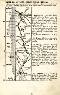 click to enlarge click to enlarge
CTC296.jpg
Strip road map, route 44, Appleby Orton Tebay Kendal, scale roughly 5 miles to 1 inch.
Together with an itinerary and gradient diagram.
item:- JandMN : 491.96
Image © see bottom of page
|
|
|
| places:- |
 Tebay Tebay
 Orton Orton
 Blasterfield Farm, Crosby Ravensworth Blasterfield Farm, Crosby Ravensworth
 Hoff Hoff
 Appleby Appleby |
|
|
|


 road, Kendal to Appleby
 road, Sedbergh to Orton


 click to enlarge
 click to enlarge
 click to enlarge
 click to enlarge
 click to enlarge
 click to enlarge
 Tebay
Tebay Orton
Orton Blasterfield Farm, Crosby Ravensworth
 Hoff
Hoff Appleby