Old Cumbria Gazetteer
 |
 |
|
||
| included in:- |
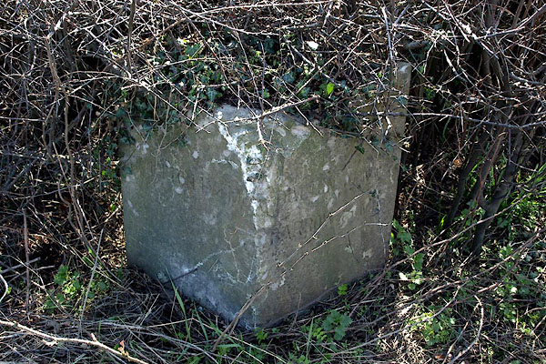
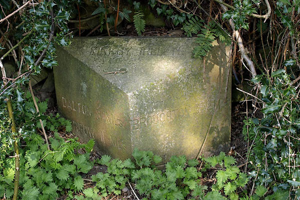
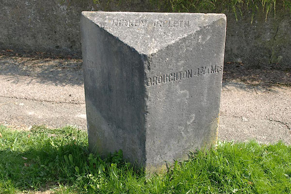
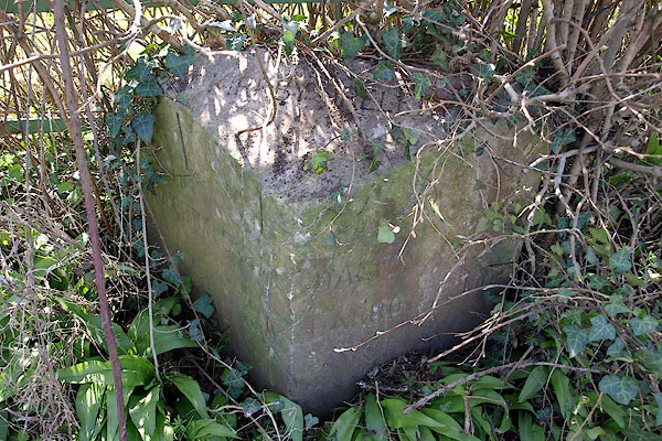
 road, Barrow-in-Furness to Whitehaven road, Kendal to Kirkby Ireleth road, Barrow-in-Furness to Whitehaven road, Kendal to Kirkby Ireleth |
|||
| road, Dalton-in-Furness to Broughton | ||||
| Dalton-in-Furness to Broughton in Furness | ||||
| Broughton in Furness to Dalton-in-Furness | ||||
| A595 | ||||
| civil parish:- | Dalton Town with Newton (formerly Lancashire) | |||
| civil parish:- | Askam and Ireleth (formerly Lancashire) | |||
| civil parish:- | Kirkby Ireleth (formerly Lancashire) | |||
| civil parish:- | Broughton West (formerly Lancashire) | |||
| county:- | Cumbria | |||
| locality type:- | road route | |||
| 10Km square:- | SD27 | |||
| 10Km square:- | SD28 | |||
|
|
||||
| evidence:- | road map:- Cary 1790 (Lan/edn 1792) |
|||
| source data:- | Road map, hand coloured engraving, Lancashire, scale about 18
miles to 1 inch, by John Cary, 181 Strand, London, 1790, edn
1792.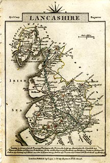 click to enlarge click to enlargeCY46.jpg as far as Kirkby double line item:- JandMN : 418 Image © see bottom of page |
|||
|
|
||||
| evidence:- | gradient diagram:- Gall and Inglis 1890s-1900s (Roads) |
|||
| source data:- | Contour Road Book of England, Northern Division, by Harry R G Inglis, published by
Gall and Inglis, 25 Paternoster Square, London and Edinburgh, 1898.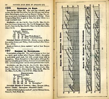 click to enlarge click to enlargeIG5196.jpg Itinerary, with gradient diagram, route 196, Sedbergh to Shap, and route 197, Barrow to Ravenglass, Westmorland, Yorkshire, Cumberland and Lancashire, 1898. item:- JandMN : 763.22 Image © see bottom of page |
|||
|
|
||||
| evidence:- | old strip map:- CTC 1911 (Roads) |
|||
| source data:- | Page 117 of Cyclists' Touring Club British Road Book new series vol.6, edited by F
B Sandford, published by Thomas Nelson and Sons, London etc, 1911.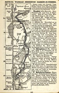 click to enlarge click to enlargeCTC2B7.jpg Strip road map, route 62, Wasdale Broughton Barrow-in-Furness, scale roughly 5 miles to 1 inch. Together with an itinerary and gradient diagram. item:- JandMN : 491.117 Image © see bottom of page |
|||
|
|
||||
 Act of Parliament Act of Parliament |
||||
|
|
||||
| places:- | Dalton-in-Furness Askam in Furness Kirkby-in-Furness Grizebeck, Kirkby Ireleth Broughton in Furness |
|||
|
|
||||
| places:- |
|
|||
|
||||
|
||||
|
||||
|
||||
|
||||
Lakes Guides menu.