 |
 |
|
|
|
|
Grizebeck |
| civil parish:- |
Kirkby Ireleth (formerly Lancashire) |
| county:- |
Cumbria |
| locality type:- |
locality |
| locality type:- |
buildings |
| coordinates:- |
SD23768518 (etc) |
| 1Km square:- |
SD2385 |
| 10Km square:- |
SD28 |
|
|
| evidence:- |
old map:- OS County Series (Lan 11 1)
placename:- Grizebeck
|
| source data:- |
Maps, County Series maps of Great Britain, scales 6 and 25
inches to 1 mile, published by the Ordnance Survey, Southampton,
Hampshire, from about 1863 to 1948.
|
|
|
| places:- |
 |
SD23468512 Bank End (Kirkby Ireleth) |
|
|
|
SD238858 bee boles, Grizebeck (Kirkby Ireleth) |
|
|
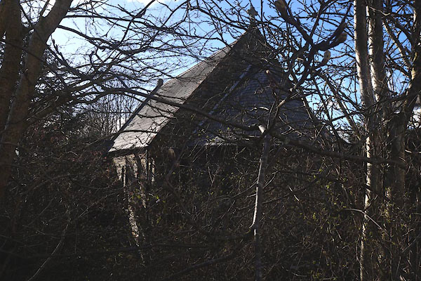 |
SD23818505 Grizebeck Church (Kirkby Ireleth) |
|
|
|
SD243849 Coal Ash (Kirkby Ireleth) |
|
|
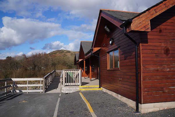 |
SD23748490 Community Hall, The (Kirkby Ireleth) |
|
|
|
SD23788527 Eller Mire (Kirkby Ireleth) |
|
|
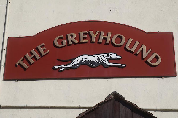 |
SD23868502 Greyhound, The (Kirkby Ireleth) |
|
|
 |
SD23618526 school, Grizebeck (Kirkby Ireleth) |
|
|
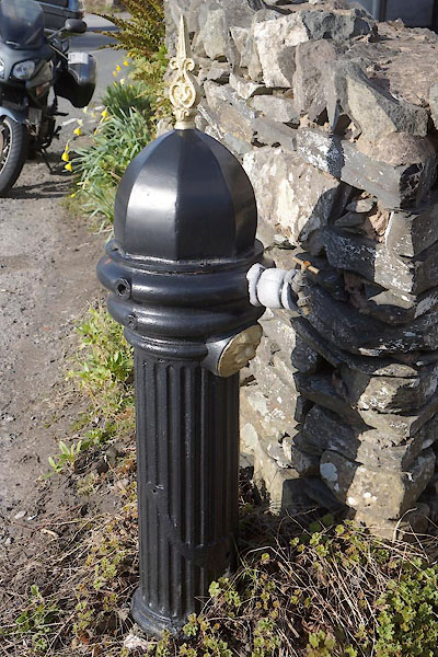 |
SD23858494 stand pipe, Grizebeck (Kirkby Ireleth) |
|
