 |
 |
   |
|
|
|
|
|
Kirkby Ireleth |
| civil parish:- |
Kirkby Ireleth (formerly Lancashire) |
| county:- |
Cumbria |
| locality type:- |
locality |
| locality type:- |
buildings |
| coordinates:- |
SD23078240 (etc) |
| 1Km square:- |
SD2382 |
| 10Km square:- |
SD28 |
|
|
| evidence:- |
old map:- Saxton 1579
placename:- Kirkbye
|
| source data:- |
Map, hand coloured engraving, Westmorlandiae et Cumberlandiae Comitatus ie Westmorland
and Cumberland, scale about 5 miles to 1 inch, by Christopher Saxton, London, engraved
by Augustinus Ryther, 1576, published 1579-1645.
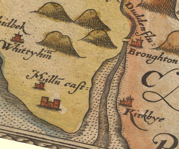
Sax9SD18.jpg
Church, symbol for a parish or village, with a parish church. "Kirkbye"
item:- private collection : 2
Image © see bottom of page
|
|
|
| evidence:- |
old map:- Mercator 1595 (edn?)
placename:- Kirkbye
|
| source data:- |
Map, hand coloured engraving, Westmorlandia, Lancastria, Cestria
etc, ie Westmorland, Lancashire, Cheshire etc, scale about 10.5
miles to 1 inch, by Gerard Mercator, Duisberg, Germany, 1595,
edition 1613-16.
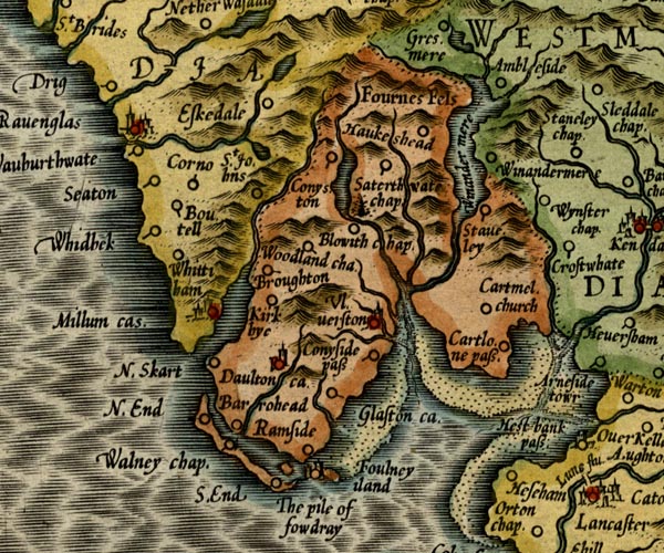
MER5LanA.jpg
"Kirkbye"
circle
item:- Armitt Library : 2008.14.3
Image © see bottom of page
|
|
|
| evidence:- |
old map:- Keer 1605
placename:- Kirkbye
|
| source data:- |
Map, hand coloured engraving, Westmorland and Cumberland, scale
about 16 miles to 1 inch, probably by Pieter van den Keere, or
Peter Keer, about 1605 edition perhaps 1676.
 click to enlarge click to enlarge
KER8.jpg
"Kirkbye"
dot, circle and tower; village
item:- Dove Cottage : 2007.38.110
Image © see bottom of page
|
|
|
| evidence:- |
old map:- Speed 1611 (Cmd)
placename:- Kirkbye
|
| source data:- |
Map, hand coloured engraving, Cumberland and the Ancient Citie
Carlile Described, scale about 4 miles to 1 inch, by John Speed,
1610, published by J Sudbury and George Humble, Popes Head
Alley, London, 1611-12.
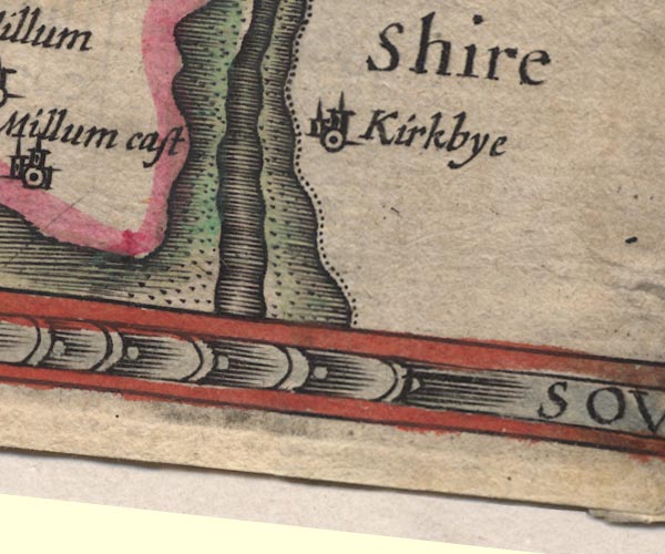
SP11SD27.jpg
"Kirkbye"
circle, tower; Lancashire
item:- private collection : 16
Image © see bottom of page
|
|
|
| evidence:- |
old map:- Jansson 1646
placename:- Kirkbye
|
| source data:- |
Map, hand coloured engraving, Cumbria and Westmoria, ie
Cumberland and Westmorland, scale about 3.5 miles to 1 inch, by
John Jansson, Amsterdam, Netherlands, 1646.
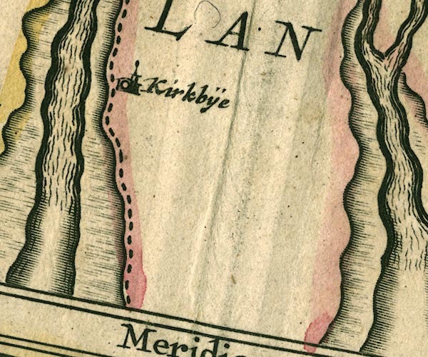
JAN3SD27.jpg
"Kirkbÿe"
Buildings and tower.
item:- JandMN : 88
Image © see bottom of page
|
|
|
| evidence:- |
old map:- Seller 1694 (Wmd)
placename:- Kerkbye
|
| source data:- |
Map, hand coloured engraving, Westmorland, scale about 8 miles
to 1 inch, by John Seller, 1694.
 click to enlarge click to enlarge
SEL7.jpg
"Kerkbye"
circle, italic lowercase text; settlement or house
item:- Dove Cottage : 2007.38.87
Image © see bottom of page
|
|
|
| evidence:- |
old map:- Morden 1695 (Cmd)
placename:- Kirkby
|
| source data:- |
Map, uncoloured engraving, Cumberland, scale about 4 miles to 1
inch, by Robert Morden, 1695, published by Abel Swale, the
Unicorn, St Paul's Churchyard, Awnsham, and John Churchill, the
Black Swan, Paternoster Row, London, 1695-1715.
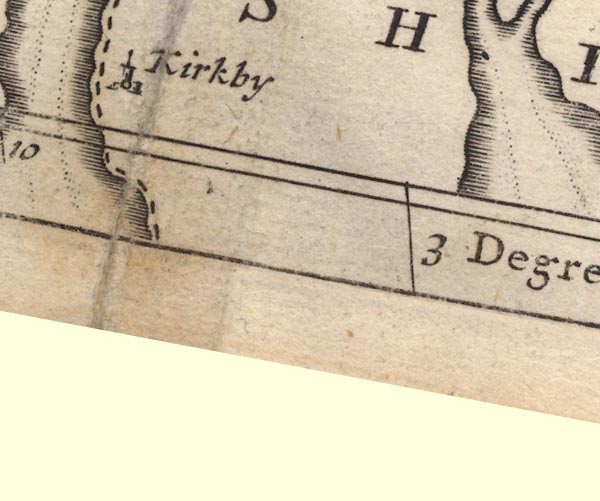
MD12SD27.jpg
"Kirkby"
Circle, building and tower.
item:- JandMN : 90
Image © see bottom of page
|
|
|
| evidence:- |
old map:- Bowen and Kitchin 1760
placename:- Kirkby
|
| source data:- |
Map, hand coloured engraving, A New Map of the Counties of
Cumberland and Westmoreland Divided into their Respective Wards,
scale about 4 miles to 1 inch, by Emanuel Bowen and Thomas
Kitchin et al, published by T Bowles, Robert Sayer, and John
Bowles, London, 1760.
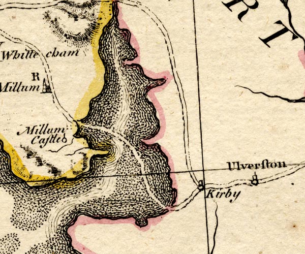
BO18SD17.jpg
"Kirkby"
circle, tower, on road
item:- Armitt Library : 2008.14.10
Image © see bottom of page
|
|
|
| evidence:- |
old map:- Cooke 1802
placename:- Kirkby
|
| source data:- |
Map, Lancashire, scale about 18 miles to 1 inch, by George
Cooke, 1802, bound in Gray's New Book of Roads, 1824, published
by Sherwood, Jones and Co, Paternoster Road, London, 1824.
 click to enlarge click to enlarge
GRA1La.jpg
"Kirkby"
blocks, italic lowercase text, village, hamlet, locality
item:- Hampshire Museums : FA2000.62.6
Image © see bottom of page
|
|
|
| evidence:- |
old map:- Laurie and Whittle 1806
placename:- Kirkby
|
| source data:- |
Road map, Completion of the Roads to the Lakes, scale about 10
miles to 1 inch, by Nathaniel Coltman? 1806, published by Robert
H Laurie, 53 Fleet Street, London, 1834.
 click to enlarge click to enlarge
Lw18.jpg
"Kirkby 278"
village or other place; distance from London
item:- private collection : 18.18
Image © see bottom of page
|
|
|
| evidence:- |
old map:- Ford 1839 map
placename:- Kirkby
|
| source data:- |
Map, uncoloured engraving, Map of the Lake District of
Cumberland, Westmoreland and Lancashire, scale about 3.5 miles
to 1 inch, published by Charles Thurnam, Carlisle, and by R
Groombridge, 5 Paternoster Row, London, 3rd edn 1843.
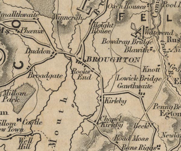
FD02SD28.jpg
"Kirkby"
item:- JandMN : 100.1
Image © see bottom of page
|
|
|
| evidence:- |
old map:- Garnett 1850s-60s H
placename:- Kirkby Ireleth
|
| source data:- |
Map of the English Lakes, in Cumberland, Westmorland and
Lancashire, scale about 3.5 miles to 1 inch, published by John
Garnett, Windermere, Westmorland, 1850s-60s.
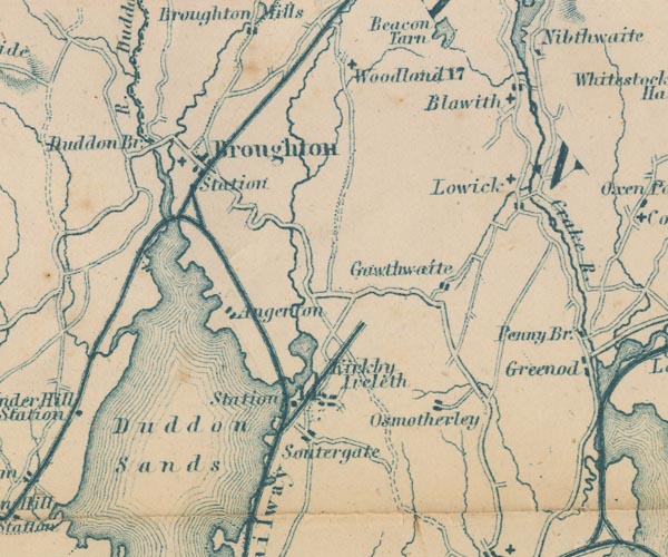
GAR2SD28.jpg
"Kirkby Ireleth"
blocks, settlement
item:- JandMN : 82.1
Image © see bottom of page
|
|
|
| evidence:- |
old map:- Postlethwaite 1877 (3rd edn 1913)
placename:- Kirkby Ireleth
|
| source data:- |
Map, uncoloured engraving, Map of the Lake District Mining Field, Westmorland, Cumberland,
Lancashire, scale about 5 miles to 1 inch, by John Postlethwaite, published by W H
Moss and Sons, 13 Lowther Street, Whitehaven, Cumberland, 1877 edn 1913.
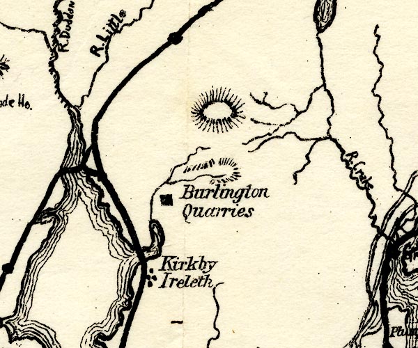
PST2SD28.jpg
"Kirkby Ireleth"
dots, railway
item:- JandMN : 162.2
Image © see bottom of page
|
|
|
| evidence:- |
old map:- Post Office 1850s-1900s
placename:- Kirkby
|
| source data:- |
Post road maps, General Post Office Circulation Map for England
and Wales, for the General Post Office, London, 1850s-1900s.
 click to enlarge click to enlarge
PF10Cm.jpg
"Kirkby"
map date 1892
|
|
|
:-
|
images courtesy of the British Postal Museum and Hampshire CC Museums
|
|
|
| places:- |
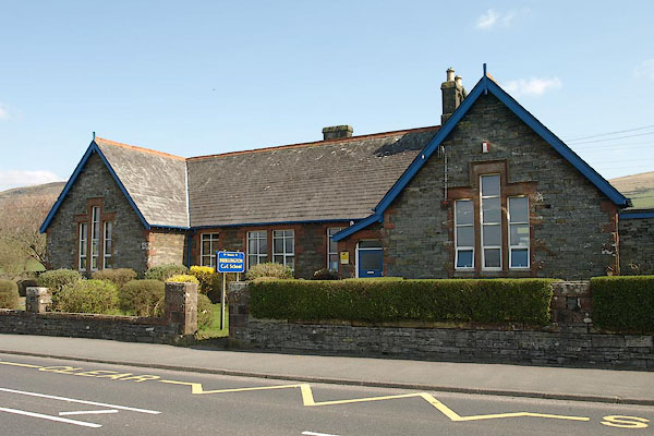 |
SD23298269 Burlington CofE School (Kirkby Ireleth) |
|
|
 |
SD23198254 Four Lane Ends (Kirkby Ireleth) |
|
|
 |
SD23548225 Kirkby Mill Bridge (Kirkby Ireleth) |
|
|
 |
SD22798268 Kirkby Slate Quarries tramroad (Kirkby Ireleth) |
|
|
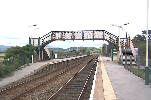 |
SD22678250 Kirkby Station (Kirkby Ireleth) L |
|
|
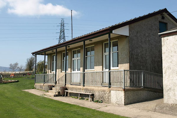 |
SD23298221 Kirkby-in-Furness Community Centre (Kirkby Ireleth) |
|
|
 |
SD2282 Adrian Miller (Kirkby Ireleth) |
|
|
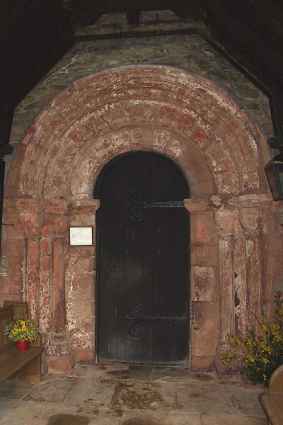 |
SD23388220 St Cuthbert's Church (Kirkby Ireleth) L |
|


 click to enlarge

 click to enlarge

 click to enlarge
 click to enlarge


 click to enlarge


