


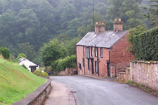
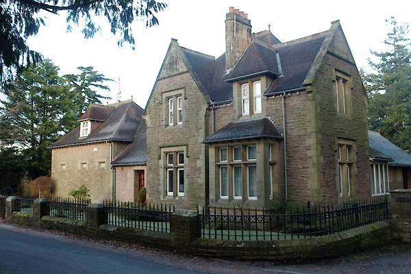
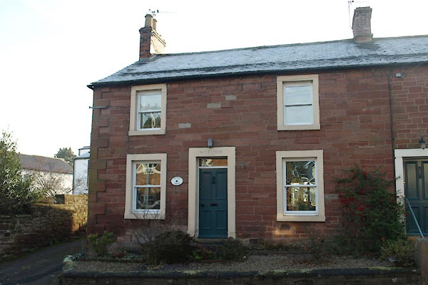
BMN38.jpg Ferryhill Cottages, Ferry Hill, Wetheral.
(taken 19.8.2006)
placename:- Wetheral
placename:- Wederal
 click to enlarge
Lld1Cm.jpg
"Wederal"
item:- Hampshire Museums : FA1998.69
Image © see bottom of page
placename:- Wetherall
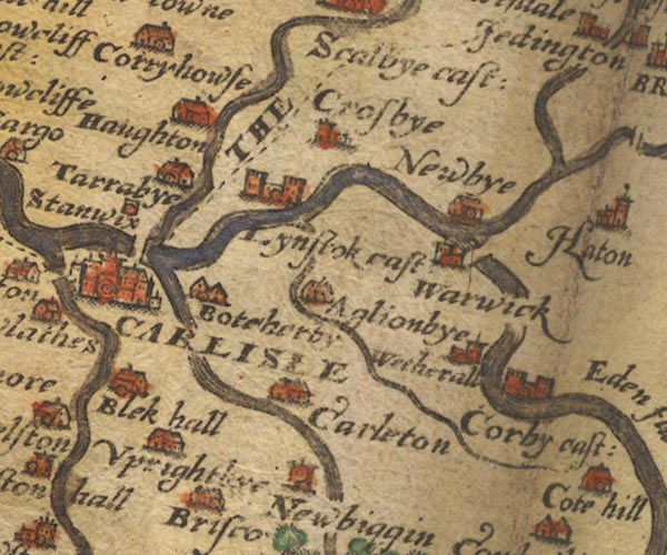
Sax9NY45.jpg
Church, symbol for a parish or village, with a parish church. "Wetherall"
item:- private collection : 2
Image © see bottom of page
placename:- Wetherall
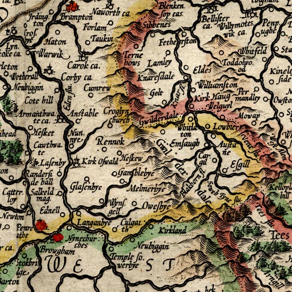
MER8CumD.jpg
"Wetherall"
circle
item:- JandMN : 169
Image © see bottom of page
placename:- Wetherall
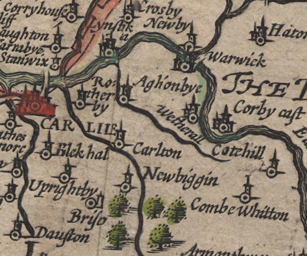
SP11NY45.jpg
"Wetherall"
circle, building, tower
item:- private collection : 16
Image © see bottom of page
placename:- Wetherall
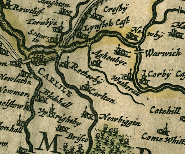
JAN3NY45.jpg
"Wetherall"
Buildings and tower.
item:- JandMN : 88
Image © see bottom of page
placename:- Wetherall
 click to enlarge
SEL9.jpg
"Wetherall"
circle, italic lowercase text; settlement or house
item:- Dove Cottage : 2007.38.89
Image © see bottom of page
placename:- Wetherall
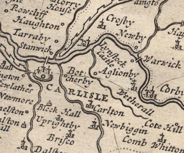
MD12NY45.jpg
"Wetherall"
Circle, building and tower.
item:- JandMN : 90
Image © see bottom of page
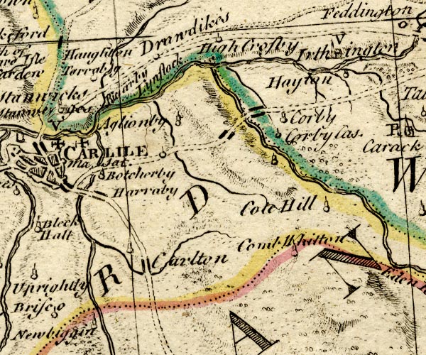
BO18NY45.jpg
circle, tower
item:- Armitt Library : 2008.14.10
Image © see bottom of page
placename:- Wetheral
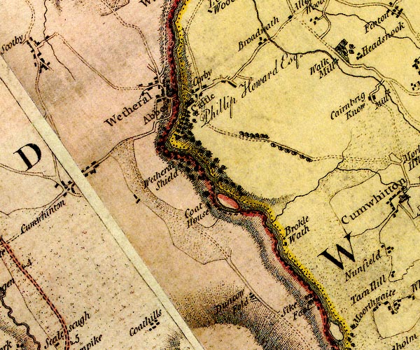
D4NY45SE.jpg
"Wetheral"
blocks, and usually a church, labelled in upright lowercase; a village
item:- Carlisle Library : Map 2
Image © Carlisle Library
placename:- Watheral
 click to enlarge
COP3.jpg
"W[a]theral"
circle; village or hamlet
item:- JandMN : 86
Image © see bottom of page
placename:- Wetheral
 goto source
Page 121:- "WETHERAL"
"Is on the western banks of the river, and is a pleasant village with a charming green, at the distance of four miles from Carlisle. ..."
placename:- Wetheral
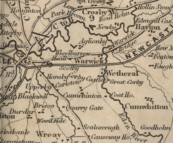
FD02NY45.jpg
"Wetheral"
item:- JandMN : 100.1
Image © see bottom of page
placename:- Wetheral
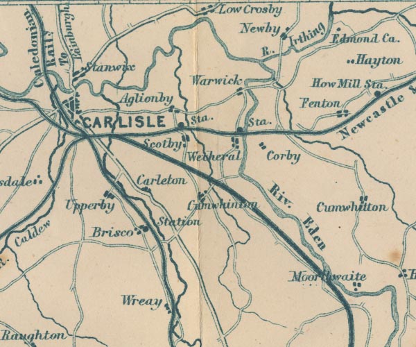
GAR2NY45.jpg
"Wetheral"
blocks, settlement
item:- JandMN : 82.1
Image © see bottom of page
placename:- Wetheral
 click to enlarge
POF7Cm.jpg
"Wetheral"
map date 1909
placename:- Wetheral
 click to enlarge
PF10Cm.jpg
"Wetheral"
map date 1892
placename:- Wetheral
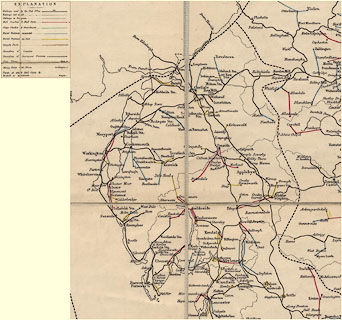 click to enlarge
POF2Cm.jpg
"Wetheral"
map date 1890
placename:- Wetheral
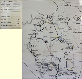 click to enlarge
POF8Cm.jpg
"Wetheral"
map date 1873
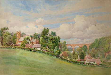 click to enlarge
PR1139.jpg
Summertime; view from the top of a gently sloping hill. To left there stands a small church, partially obscured by trees. Below, to right, stands a whitewashed farmhouse and its outbuildings with smoking chimneys. The viaduct spans the river, the far bank of which is heavily wooded.
signed at bottom centre:- "Thos. Bushby"
item:- Tullie House Museum : 1972.4.11
Image © Tullie House Museum
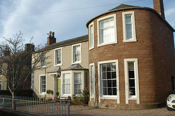 |
NY46465456 Acorn Bank (Wetheral) L |
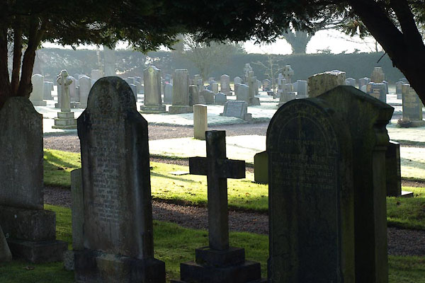 |
NY46245421 Ashridge Lane Cemetery (Wetheral) |
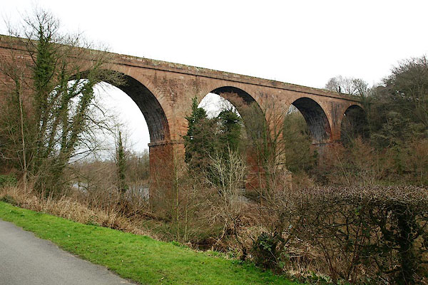 |
NY46865466 Corby Bridge (Wetheral) L |
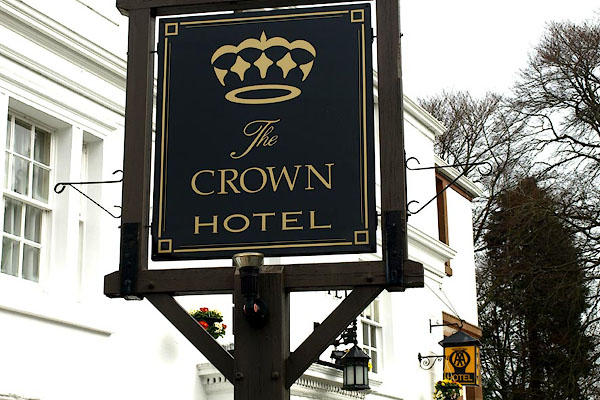 |
NY46705459 Crown Hotel (Wetheral) L |
 |
NY46805434 Eden Croft (Wetheral) |
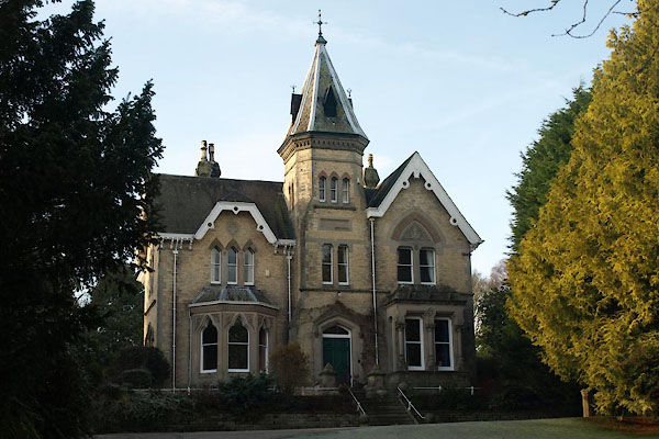 |
NY46545439 Eden Mount (Wetheral) L |
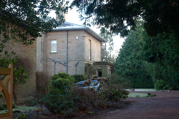 |
NY46645471 Edenbank (Wetheral) L |
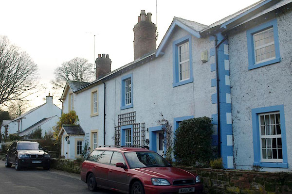 |
NY46815453 Edenside Cottage (Wetheral) L |
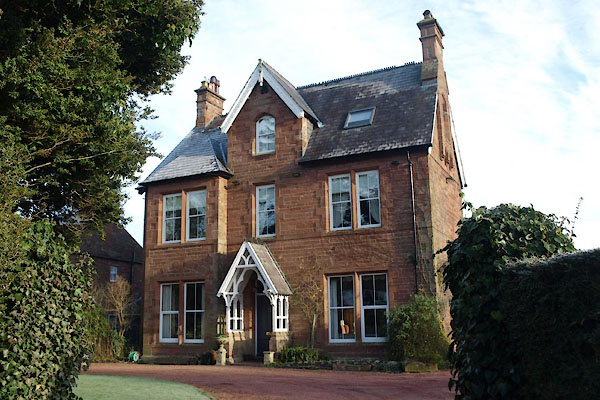 |
NY46645445 Edenwood (Wetheral) |
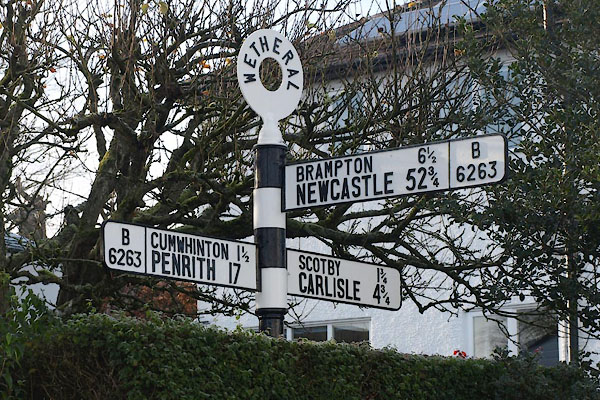 |
NY46565454 fingerpost, Wetheral (2) (Wetheral) |
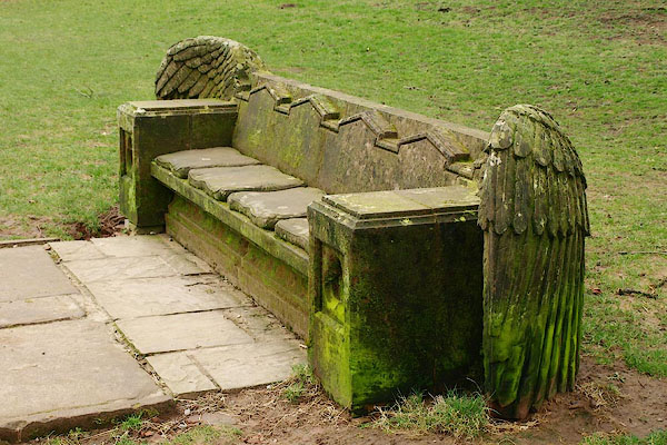 |
NY46935430 Flight of Fancy (Wetheral) |
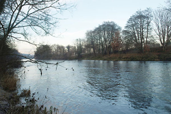 |
NY46805496 ford, Wetheral (Wetheral) |
 |
NY46365510 Geltsdale (Wetheral) |
 |
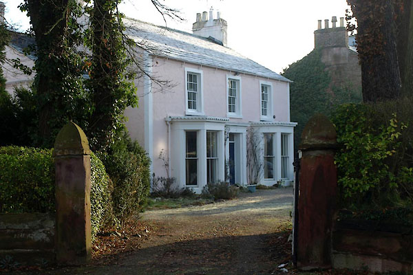
NY46475511 Geltsdale (Wetheral) |
 |
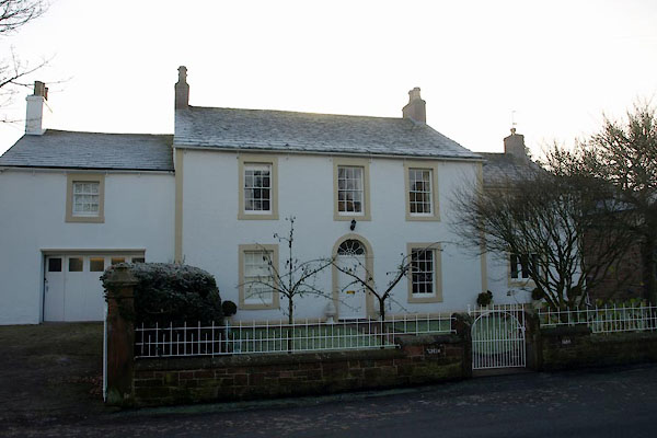
NY46665449 Grange, The (Wetheral) L |
 |
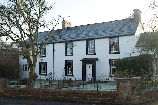
NY46625433 Green Farm (Wetheral) L |
 |
NY46585431 Greystones (Wetheral) L |
 |
NY46145486 Hallmoor Cottage (Wetheral) |
 |
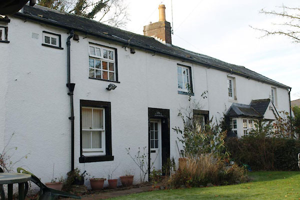
NY46505431 High Croft (Wetheral) |
 |
NY46615451 house, Wetheral (3) (Wetheral) |
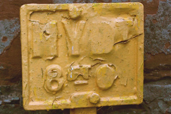 |
NY46795414 hydrant plate, Wetheral (Wetheral) |
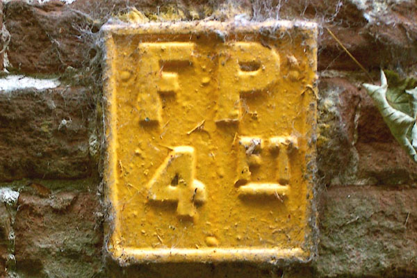 |
NY46835474 hydrant plate, Wetheral (2) (Wetheral) |
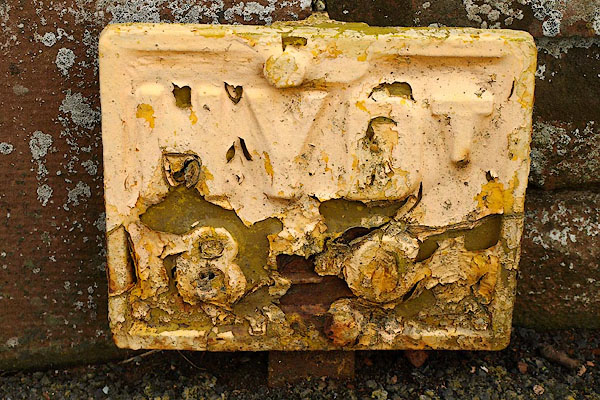 |
NY46105444 hydrant plate, Wetheral (3) (Wetheral) |
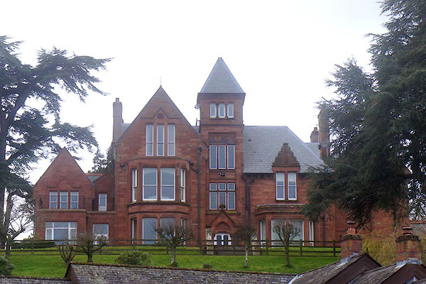 |
NY46695440 Killoran Country House (Wetheral) |
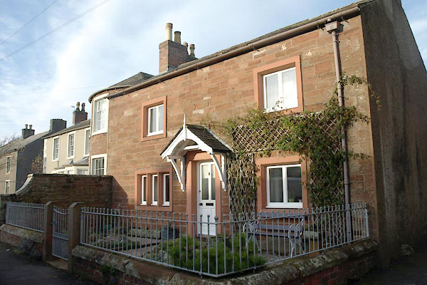 |
NY46505455 Manor Cottage (Wetheral) |
 |
NY46465527 Mirebank Wood (Wetheral) |
 |
NY46155536 Moor Yeat (Wetheral) |
 |
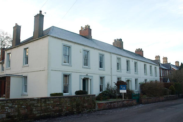
NY46675431 parsonage, Wetheral (Wetheral) |
 |
NY46395494 Plains, The (Wetheral) L |
 |
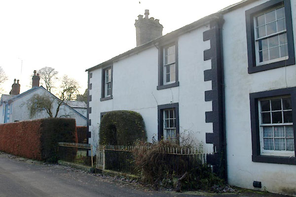
NY46585450 Wetheral Police Station (Wetheral) |
 |
NY46575458 Wetheral Police Station (Wetheral) |
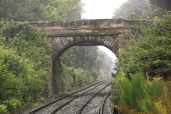 |
NY46565470 railway bridge, Wetheral (2) (Wetheral) |
 |
NY46825457 River House (Wetheral) L |
 |
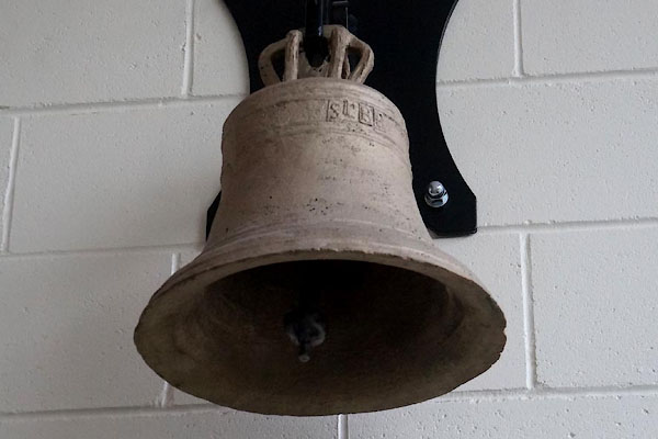
NY46645447 Wetheral School (Wetheral) gone |
 |
NY4654 Wetheral School (Wetheral) gone |
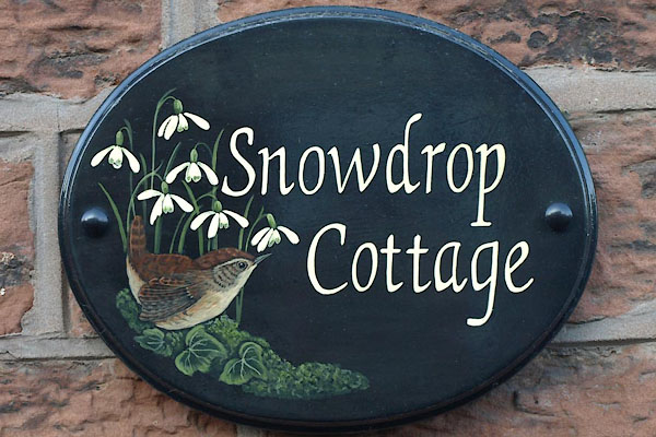 |
NY46485430 Snowdrop Cottage (Wetheral) |
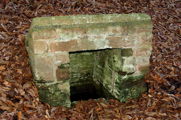 |
NY46735496 St Cuthbert's Well (Wetheral) |
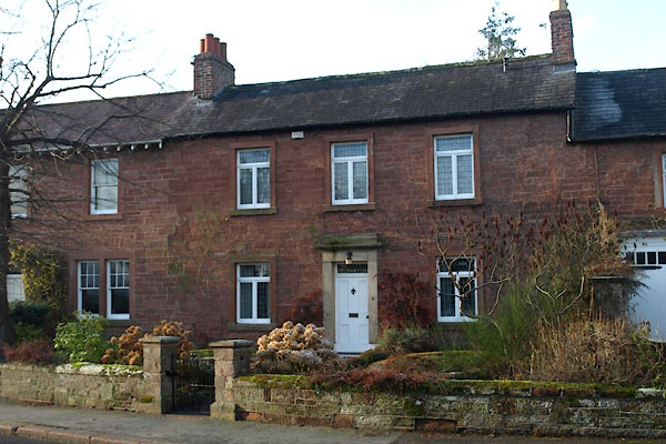 |
NY46625437 St Martins (Wetheral) |
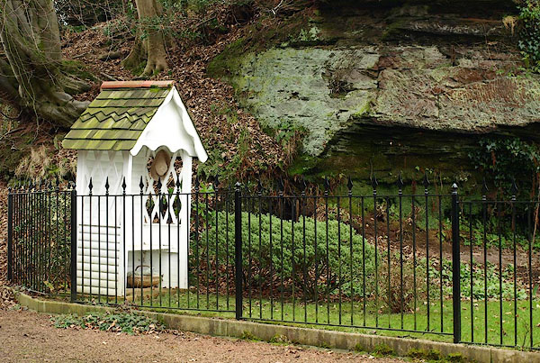 |
NY46855446 summer house, Wetheral (Wetheral) |
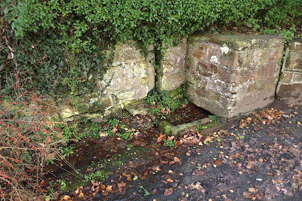 |
NY46565454 water trough, Wetheral (Wetheral) |
 |
NY46845416 Wetheral Abbey Farm, (Wetheral) |
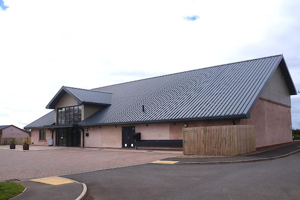 |
NY46475404 Wetheral Community Village Hall (Wetheral) |
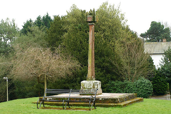 |
NY46655437 Wetheral Cross (Wetheral) L |
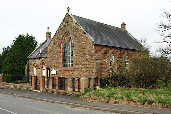 |
NY46095446 Wetheral Methodist Church (Wetheral) |
 |
NY46885441 Wetheral Mill (Wetheral) gone? |
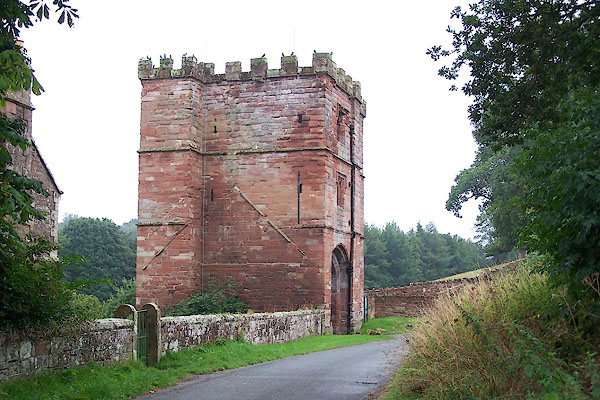 |
NY46805412 Wetheral Priory (Wetheral) L |
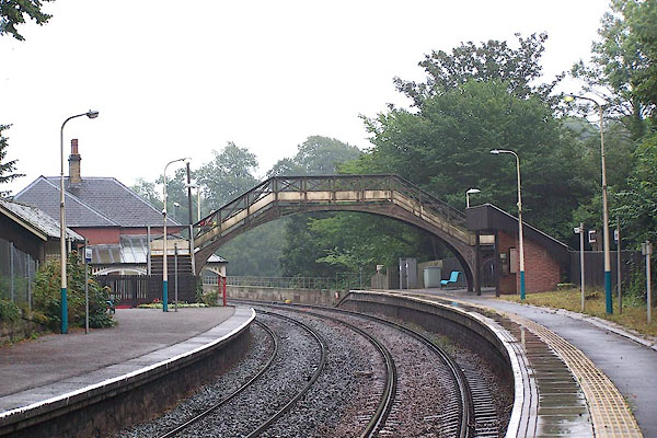 |
NY46745465 Wetheral Station (Wetheral) L |
 |
NY46715329 Wetheral Tower (Wetheral) gone |
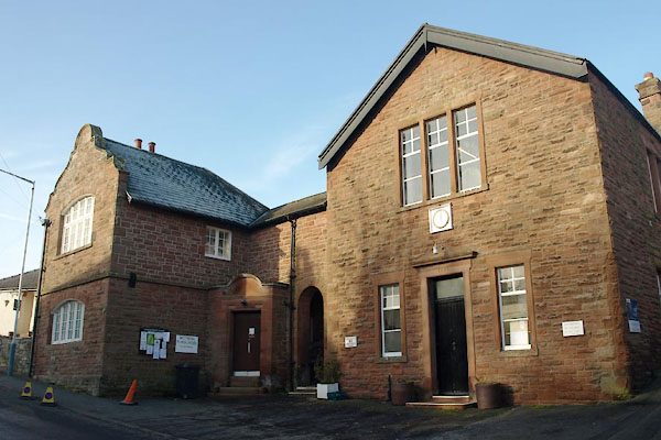 |
NY46465429 Wetheral Village Hall (Wetheral) |
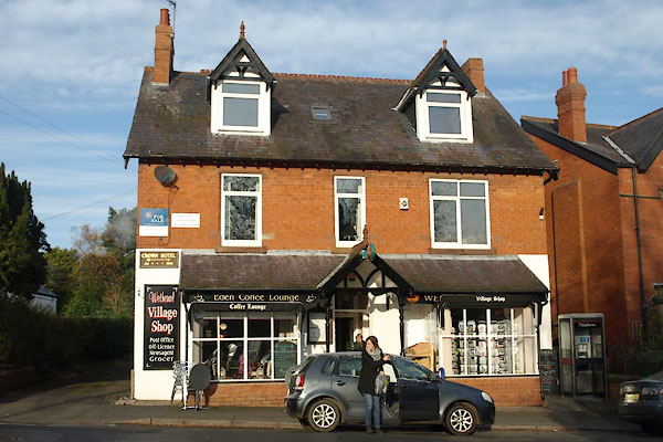 |
NY46625452 Wetheral Village Shop (Wetheral) |
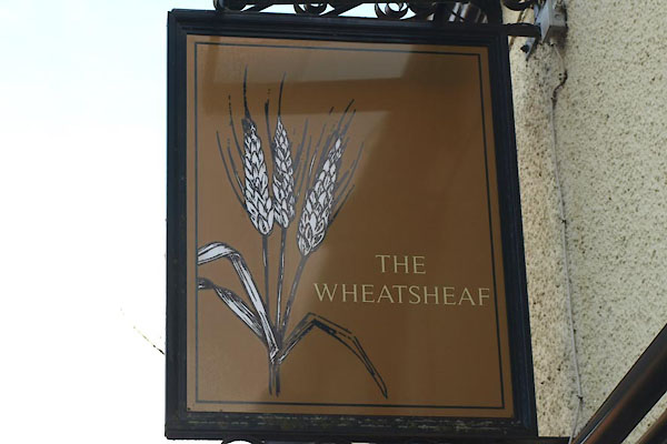 |
NY46455427 Wheatsheaf, The (Wetheral) |
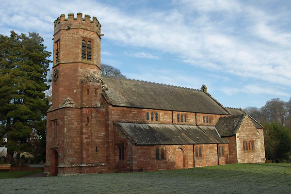 |
NY46815440 Holy Trinity and St Constantine's Church (Wetheral) L |
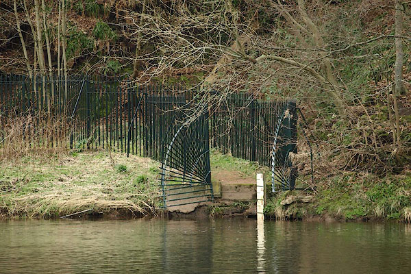 |
NY46975437 Wetheral Ferry (Wetheral) |
