 Old Cumbria Gazetteer
 |
 |
|
| Edenbank, Wetheral | ||
| Edenbank | ||
| locality:- | Wetheral | |
| civil parish:- | Wetheral (formerly Cumberland) | |
| county:- | Cumbria | |
| locality type:- | buildings | |
| coordinates:- | NY46645471 | |
| 1Km square:- | NY4654 | |
| 10Km square:- | NY45 | |
| references:- | Listed Buildings 2010 |
|
|
|
||
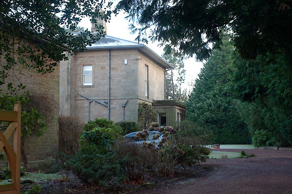 BXS28.jpg (taken 30.11.2012) 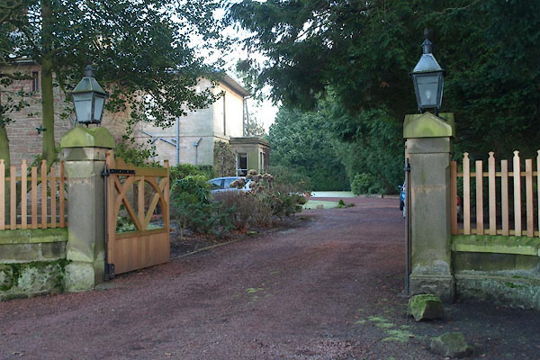 BXS29.jpg Gate piers and lamps. (taken 30.11.2012) |
||
|
|
||
| evidence:- | old map:- OS County Series (Cmd 24 6) placename:- Edenbank |
|
| source data:- | Maps, County Series maps of Great Britain, scales 6 and 25
inches to 1 mile, published by the Ordnance Survey, Southampton,
Hampshire, from about 1863 to 1948. |
|
|
|
||
| evidence:- | database:- Listed Buildings 2010 placename:- Edenbank |
|
| source data:- | courtesy of English Heritage "EDENBANK / / / WETHERAL / CARLISLE / CUMBRIA / II / 77761 / NY4666354712" |
|
|
|
||
 Lakes Guides menu.