


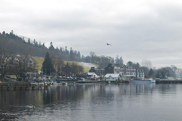
BTX97.jpg (taken 22.1.2011)
placename:- Water Head
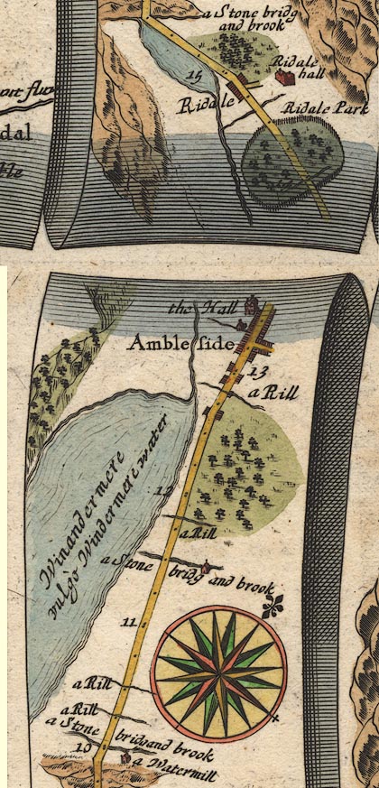
OG96m010.jpg
In mile 12, Westmoreland.
Two houses, one each side of the road.
item:- JandMN : 22
Image © see bottom of page
placename:- Water Head
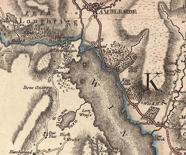
J5NY30SE.jpg
"Water Head"
blocks, labelled in italic lowercase text; settlement, village?
item:- National Library of Scotland : EME.s.47
Image © National Library of Scotland
placename:- Water Head
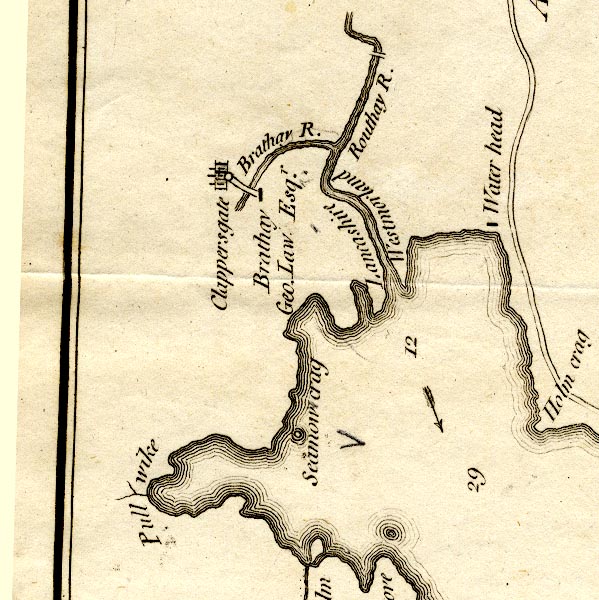
CT9NY30R.jpg
"Water head"
block, building/s
item:- Armitt Library : 2008.14.102
Image © see bottom of page
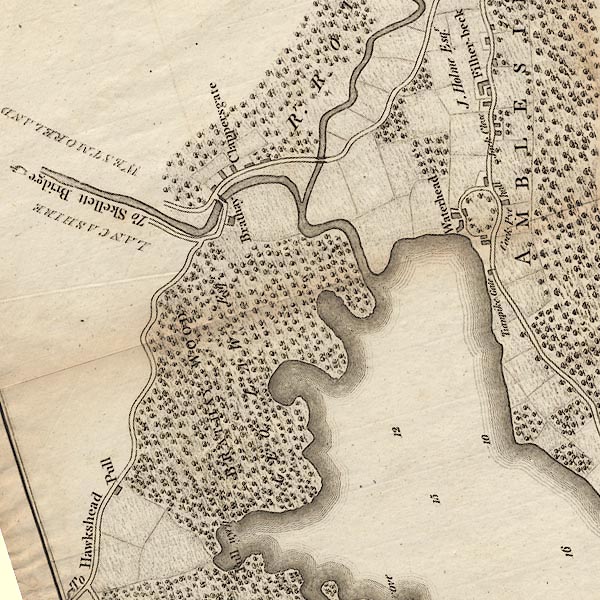
placename:- Waterhead
CLANY30R.jpg
"Waterhead"
item:- private collection : 10.10
Image © see bottom of page
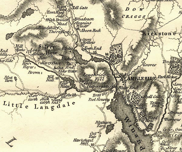
placename:- Water End
CY24NY30.jpg
"Water End"
block/s, labelled in italic lowercase; house, or hamlet
item:- JandMN : 129
Image © see bottom of page
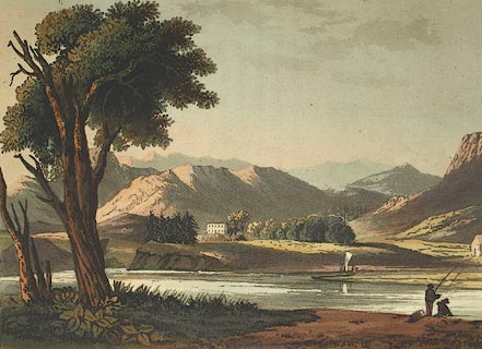
placename:- Windermere Head
 click to enlarge
FW0114.jpg
Tipped in opposite p.75 in A Picturesque Tour of the English Lakes.
item:- Dove Cottage : 1993.R566.14
Image © see bottom of page
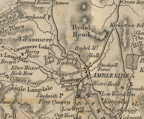
placename:- Water Head
FD02NY30.jpg
"Water Head"
item:- JandMN : 100.1
Image © see bottom of page
placename:- Waterhead
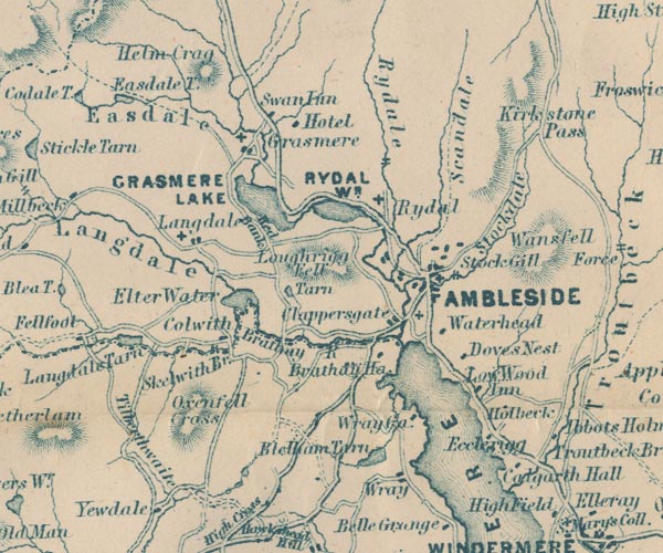
GAR2NY30.jpg
"Waterhead"
block, building
item:- JandMN : 82.1
Image © see bottom of page
placename:- Water Head
 click to enlarge
PI03M1.jpg
"Water Head"
block/s; building/s
item:- private collection : 133.1
Image © see bottom of page
item:- sledge; costume
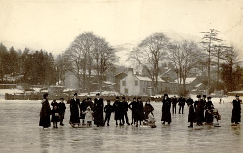 click to enlarge
HB0990.jpg
item:- Armitt Library : 1958.2734
Image © see bottom of page
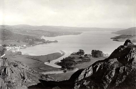 click to enlarge
HB0252.jpg
Waterhead bay on the left; the roman fort site and Borrans Park left of centre.
item:- Armitt Library : ALPS650
Image © see bottom of page
item:- boat; sailing boat
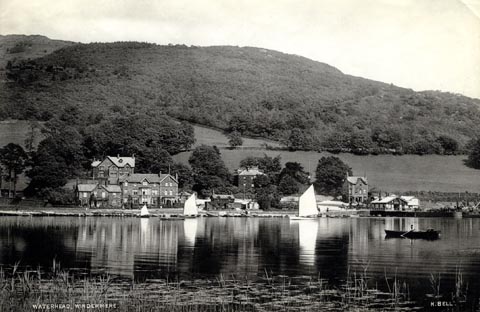 click to enlarge
HB0251.jpg
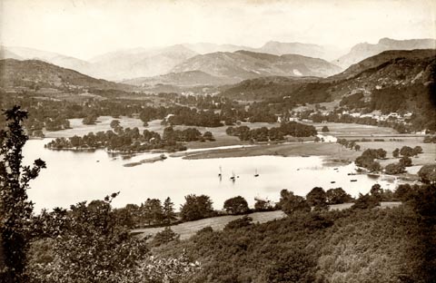
internegative at lower left and right:- "WATERHEAD, WINDERMERE / H. BELL."
item:- Armitt Library : ALPS649
Image © see bottom of page
 click to enlarge
HB0257.jpg
item:- Armitt Library : ALPS709
Image © see bottom of page
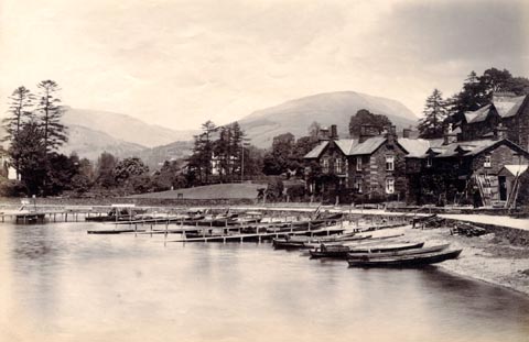
item:- boat; rowing boat
 click to enlarge
HB0249.jpg
item:- Armitt Library : ALPS598
Image © see bottom of page
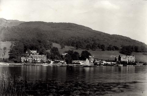
item:- sailing boat; boat
 click to enlarge
HB0211.jpg
From across the lake, showing sailing boats in the bay.
item:- Armitt Library : ALPS611
Image © see bottom of page
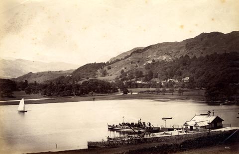
item:- sailing boat; boat; steamer; Teal
 click to enlarge
HB0218.jpg
The steamer Teal is at the pier.
internegative at lower right:- "H. Bell."
item:- Armitt Library : ALPS597
Image © see bottom of page
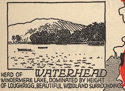
EJB3Vg36.jpg
item:- private collection : 17
Image © see bottom of page
placename:- Windermere Water Head
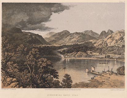 click to enlarge
PY06.jpg
"Windermere Water Head"
item:- JandMN : 97.7
Image © see bottom of page
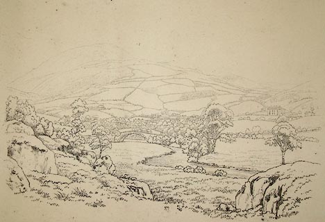 click to enlarge
PR1265.jpg
Summertime; distant view of Ambleside and the hills which rise beyond it viewed from a a rocky outcrop beside a river.
printed at bottom centre:- "AMBLESIDE FROM THE LANDING. Published Ambleside. Augst 1st 1809 by W. Green."
item:- Tullie House Museum : 1978.108.92.4
Image © Tullie House Museum
 |
NY37690304 Ambleside Youth Hostel (Lakes) |
 |
NY37410350 Borrans Court (Lakes) |
 |
NY37240331 Borrans Field (Lakes) |
 |
NY37440330 Borrans Park (Lakes) |
 |
NY37260315 Brathay Neck (Lakes) |
 |
NY378031 Cock Pye Hall (Lakes) |
 |
NY377033 Filher Beck (Lakes) |
 |
NY37320360 Galava Gate (Lakes) |
 |
NY37760323 Ghyll Head (Lakes) |
 |
NY377033 Jack Close (Lakes) |
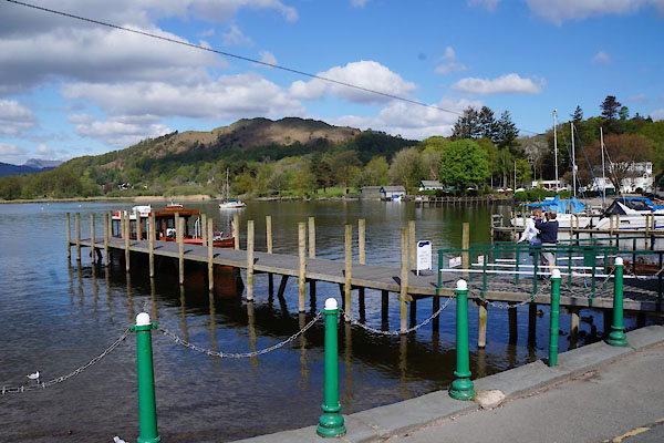 |
NY37630322 landing stage, Waterhead (Lakes) |
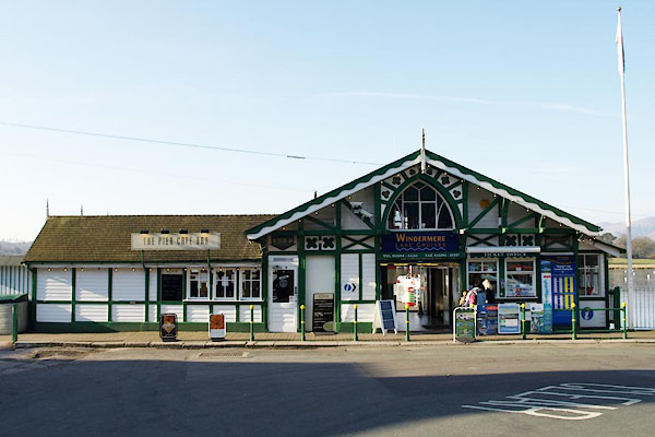 |
NY37630311 Waterhead Pier (Lakes) |
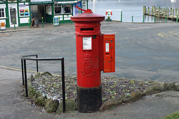 |
NY37680311 post box, Ambleside (2) (Lakes) |
 |
SD31589813 rain gauge, Coniston (Coniston) |
 |
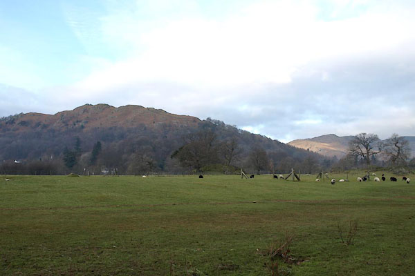
NY37610333 Regent Hotel (Lakes) |
 |
NY37250342 Galava (Lakes) L |
 |
NY37740316 Romney Hotel, The (Lakes) |
 |
NY37510340 Wanlass House (Lakes) |
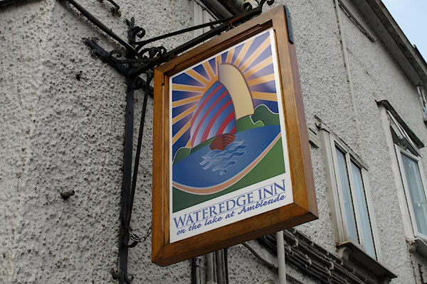 |
NY37580330 Wateredge Inn (Lakes) L |
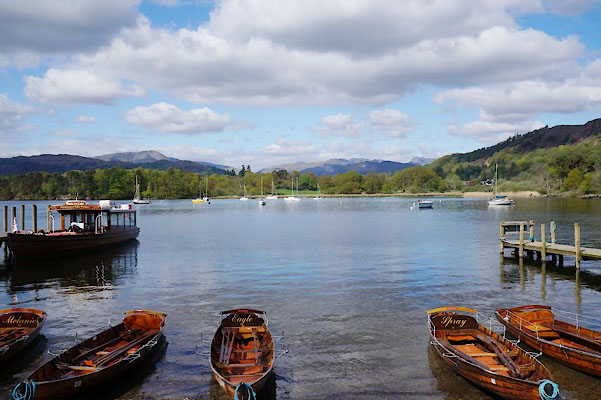 |
NY37450319 Waterhead Bay (Lakes) |
 |
NY37710306 Waterhead Cottages (Lakes) |
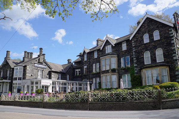 |
NY37680322 Waterhead Hotel (Lakes) |
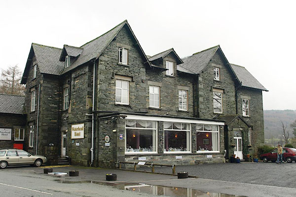 |
SD30999750 Waterhead Inn (Coniston) |
 |
NY37690348 Windermere Lodge (Lakes) |
 |
NY37700312 toll gate, Waterhead (Lakes) gone |
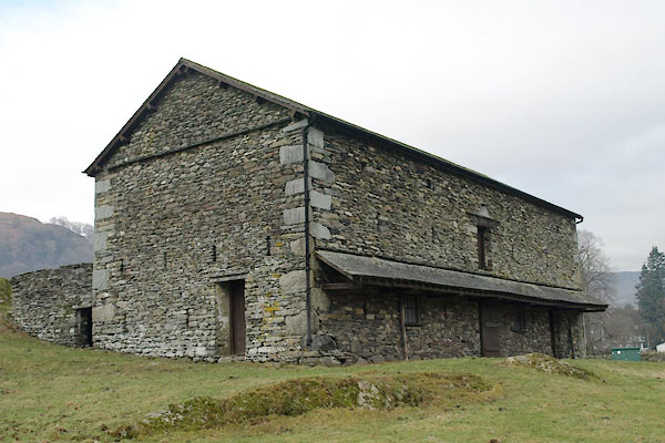 |
NY37310356 barn, Ambleside (Lakes) |
