


placename:- Underbarrow
placename:- Underbarrow
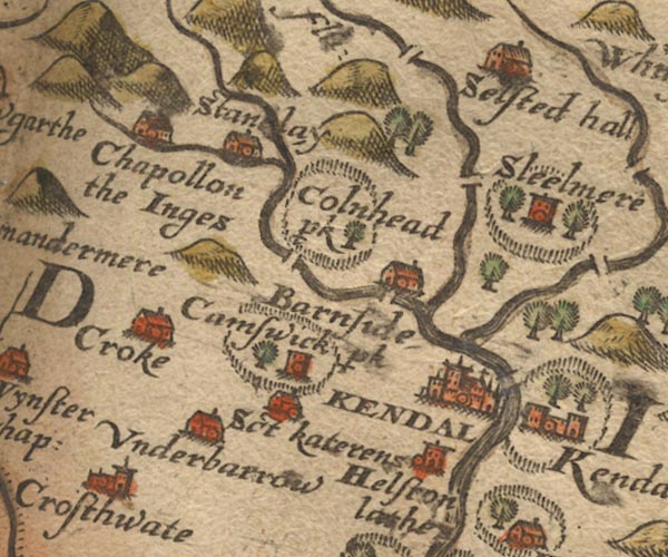
Sax9SD49.jpg
Building, symbol for a hamlet, which may or may not have a nucleus. "Underbarrow"
item:- private collection : 2
Image © see bottom of page
placename:- Underbarrow
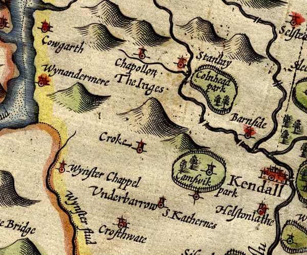
SP14SD49.jpg
"Underbarrow"
circle, tower
item:- Armitt Library : 2008.14.5
Image © see bottom of page
placename:- Underbarow
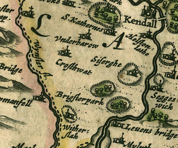
JAN3SD48.jpg
"Underbarow"
Buildings and tower.
item:- JandMN : 88
Image © see bottom of page
placename:- Underbarrow
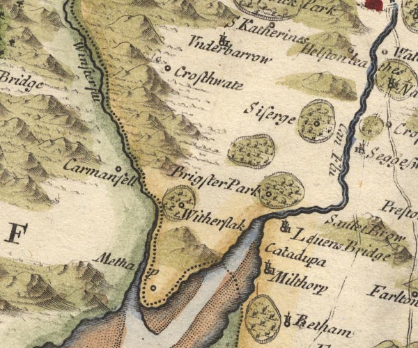
MD10SD48.jpg
"Underbarrow"
Circle, building and tower.
item:- JandMN : 24
Image © see bottom of page
placename:- Underbarro
 click to enlarge
BD12.jpg
"Underbarro"
circle, italic lowercase text; village, hamlet or locality
item:- Dove Cottage : 2007.38.62
Image © see bottom of page
placename:- Underbarrow
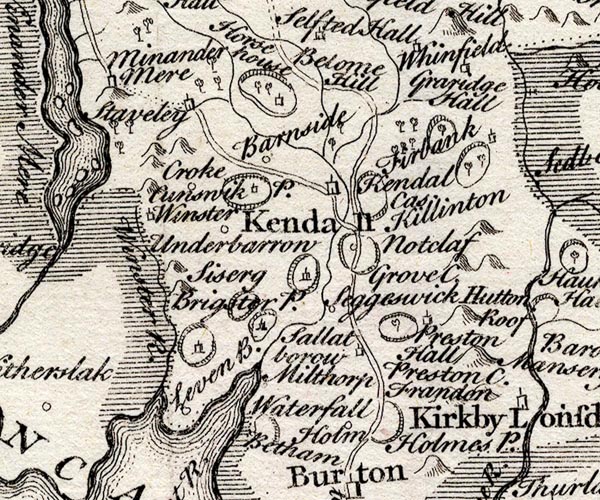
SMP2SDP.jpg
"Underbarrow"
Circle.
item:- Dove Cottage : 2007.38.59
Image © see bottom of page
placename:- Underbarrow
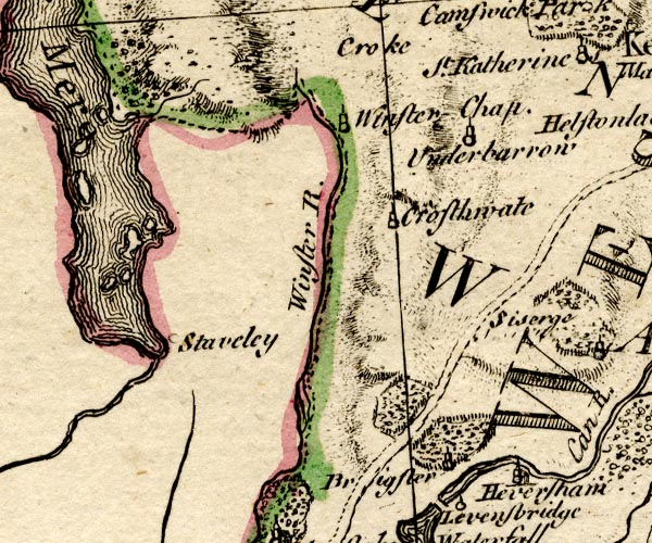
BO18SD38.jpg
"Underbarrow"
circle, tower
item:- Armitt Library : 2008.14.10
Image © see bottom of page
placename:- Underbarrow
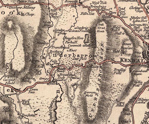
J5SD49SE.jpg
"Underbarrow"
blocks, labelled in italic lowercase text; settlement, village? and area
item:- National Library of Scotland : EME.s.47
Image © National Library of Scotland
placename:- Underbarrow
 click to enlarge
COP4.jpg
"Underbarrow"
circle; village or hamlet
item:- Dove Cottage : 2007.38.53
Image © see bottom of page
placename:- Underbarrow
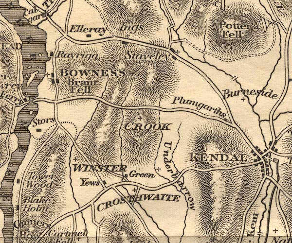
OT02SD49.jpg
item:- JandMN : 48.1
Image © see bottom of page
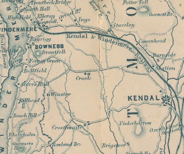
placename:- Underbarrow
GAR2SD49.jpg
"Underbarrow"
no symbol, or hill hachures for the scar?
item:- JandMN : 82.1
Image © see bottom of page
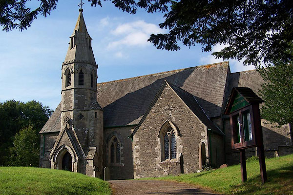 |
SD46329263 All Saints Church (Underbarrow and Bradleyfield) L |
 |
SD46439257 Birks (Underbarrow and Bradleyfield) |
 |
SD46549184 Bridge End (Underbarrow and Bradleyfield) suggested |
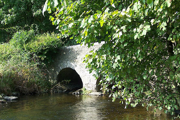 |
SD46599149 bridge, Underbarrow and Bradleyfield (Underbarrow and Bradleyfield) |
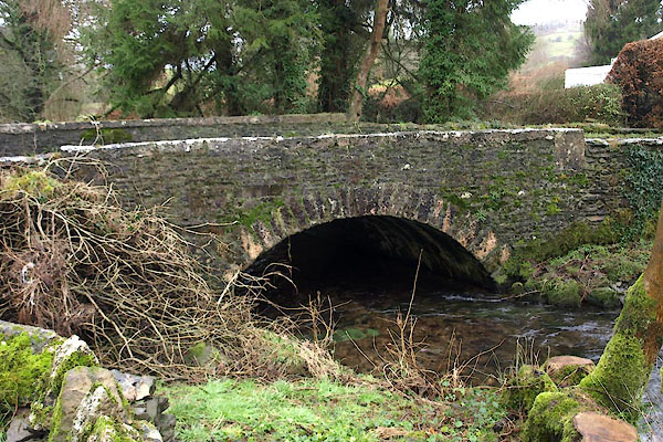 |
SD46309257 Chapel Bridge (Underbarrow and Bradleyfield) |
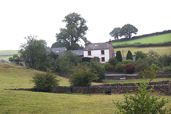 |
SD46349286 Chapel House (Underbarrow and Bradleyfield) |
 |
SD46489289 Chapel Lane (Underbarrow and Bradleyfield) |
 |
SD46389241 Crispin Cottage (Underbarrow and Bradleyfield) |
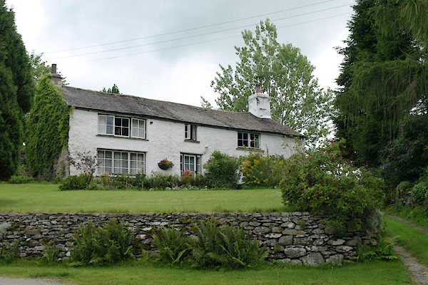 |
SD47239103 Crow Wood End (Underbarrow and Bradleyfield) |
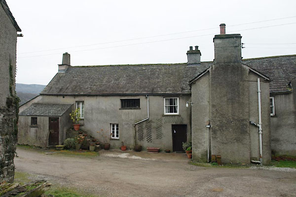 |
SD46759225 Fallen Yew (Underbarrow and Bradleyfield) L |
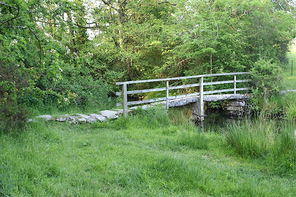 |
SD46189274 footbridge, Underbarrow (Underbarrow and Bradleyfield) |
 |
SD47689121 Garthrow (Underbarrow and Bradleyfield) |
 |
SD46339228 Greenridge Mill (Underbarrow and Bradleyfield) |
 |
SD46529178 Grigghall Bridge (Underbarrow and Bradleyfield) |
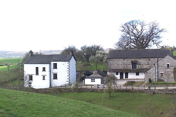 |
SD46389203 Kirkby House (Underbarrow and Bradleyfield) |
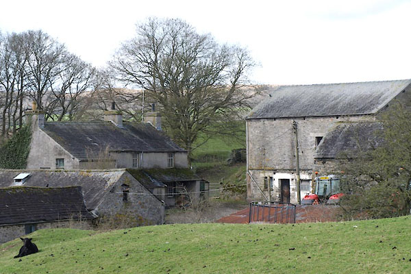 |
SD46979120 Low Greenriggs (Underbarrow and Bradleyfield) |
 |
SD46549163 Low Mill House (Underbarrow and Bradleyfield) |
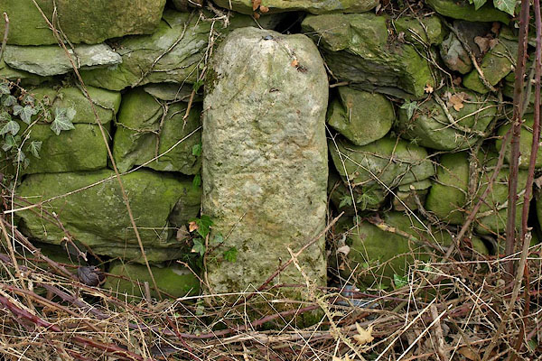 |
SD46079138 milestone, Underbarrow and Bradleyfield (2) (Underbarrow and Bradleyfield) |
 |
SD47159217 milestone, Underbarrow and Bradleyfield (3) (Underbarrow and Bradleyfield) not found |
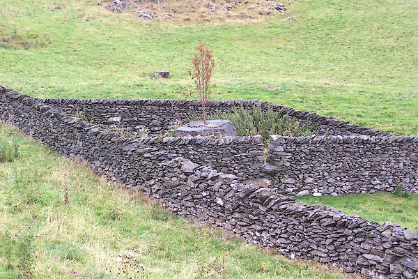 |
SD46009336 Mountjoy Farm Folds (Underbarrow and Bradleyfield) |
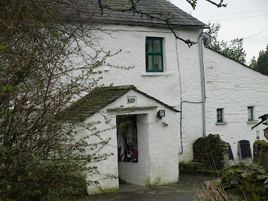 |
SD46539240 Nook Cottage (Underbarrow and Bradleyfield) L |
 |
SD46659222 Orphan Crag (Underbarrow and Bradleyfield) |
 |
SD47039107 Parks (Underbarrow and Bradleyfield) L |
 |
SD467922 post box, Underbarrow (Underbarrow and Bradleyfield) |
 |
SD465920 post box, Underbarrow (2) (Underbarrow and Bradleyfield) |
 |
SD46889221 Punch Bowl Bridge (Underbarrow and Bradleyfield) |
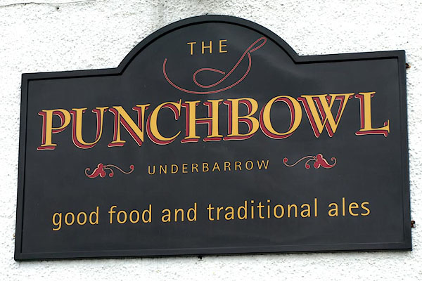 |
SD46819216 Punch Bowl (Underbarrow and Bradleyfield) |
 |
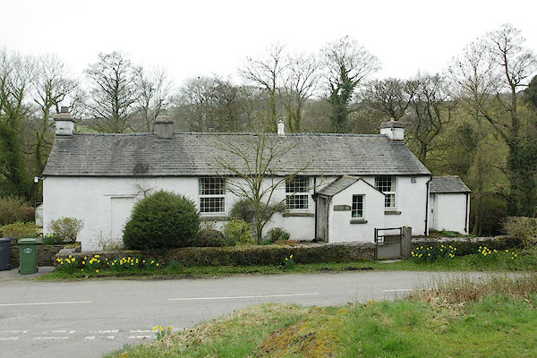
SD46409246 School House (Underbarrow and Bradleyfield) |
 |
SD46329254 Old School, The (Underbarrow and Bradleyfield) |
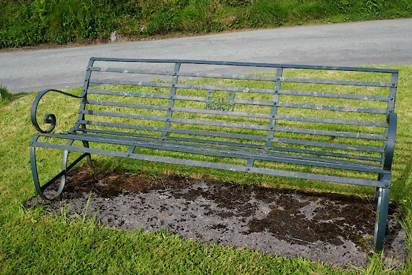 |
SD46419231 seat, Underbarrow (Underbarrow and Bradleyfield) |
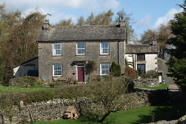 |
SD47269092 Tullythwaite Hall (Underbarrow and Bradleyfield) |
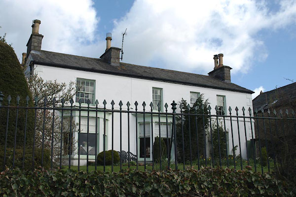 |
SD47219153 Tullythwaite House (Underbarrow and Bradleyfield) L |
 |
SD4691 Underbarrow Beck (Underbarrow and Bradleyfield) |
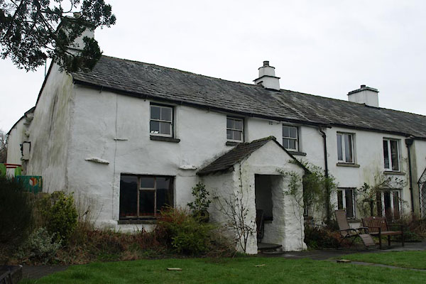 |
SD46529236 Underhill (Underbarrow and Bradleyfield) L |
 |
SD46359273 Vicarage (Underbarrow and Bradleyfield) |
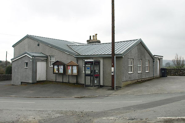 |
SD46729219 Underbarrow Village Hall (Underbarrow and Bradleyfield) |
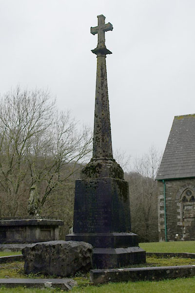 |
SD463926 war memorial, Underbarrow (Underbarrow and Bradleyfield) |
 |
SD46779167 Wellington Monument (Underbarrow and Bradleyfield) |
 |
SD4692 mill, Fallen Yew (Underbarrow and Bradleyfield) gone |
