 Old Cumbria Gazetteer
 |
 |
|
| Mountjoy Farm Folds, Underbarrow | ||
| Mountjoy Farm Folds | ||
| site name:- | Mountjoy | |
| locality:- | Underbarrow | |
| civil parish:- | Underbarrow and Bradleyfield (formerly Westmorland) | |
| county:- | Cumbria | |
| locality type:- | sheepfold | |
| locality type:- | tree | |
| locality type:- | rowan | |
| coordinates:- | SD46009336 | |
| coordinates:- | SD45959350 | |
| 1Km square:- | SD4693 | |
| 10Km square:- | SD49 | |
|
|
||
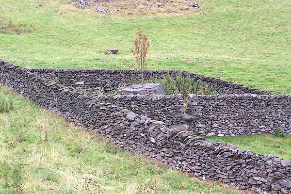 BMM88.jpg South fold, its tree dead. (taken 16.8.2006) 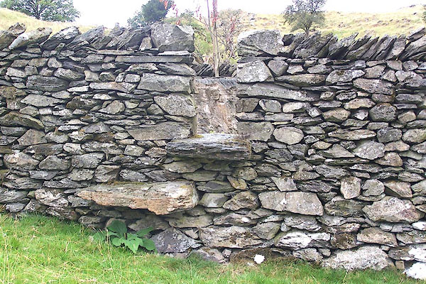 BMM89.jpg South fold. (taken 16.8.2006) |
||
|
|
||
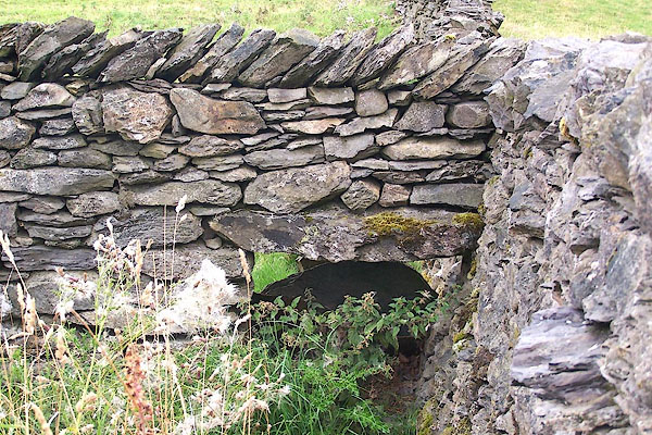 BMM90.jpg South fold. (taken 16.8.2006)  BMM91.jpg North fold. (taken 16.8.2006) 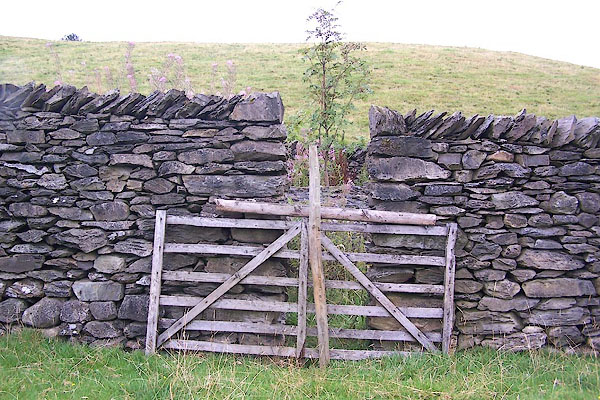 BMM92.jpg North fold. (taken 16.8.2006) 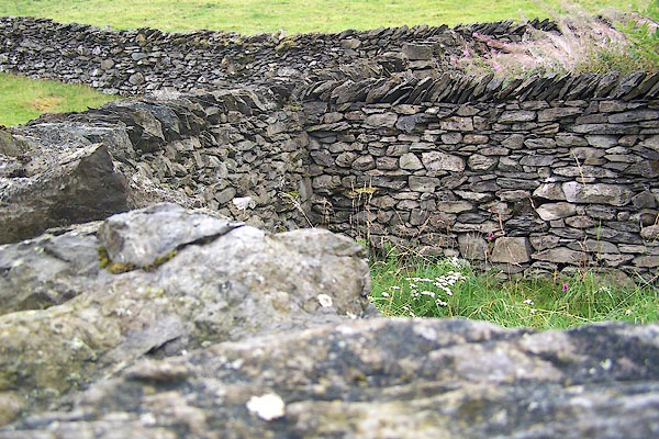 BMM93.jpg North fold. (taken 16.8.2006) 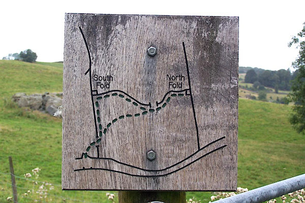 BMM94.jpg Sign pointing the way; the map is as its looks from this point, the wall across the middle is deaed straight, but dips in a fold of the ground. (taken 16.8.2006) |
||
|
|
||
| :- |
Renewed by Andy Goldsworthy as part of the Sheepfolds project, 1996-2002. Two folds,
inside each is a boulder planted with mountain ash. |
|
| : 2002 (?): Andy Goldsworthy Sheepfolds: Cumbria CC (?):: leaflet from TIC www.sheepfolds.org |
||
|
|
||
 Lakes Guides menu.