


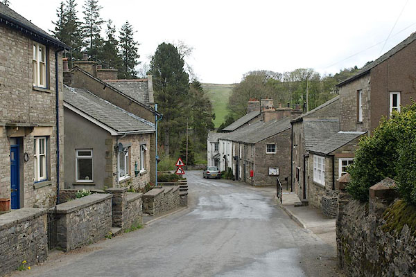
BSP52.jpg (taken 30.4.2010)
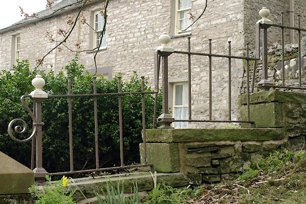
BSP53.jpg Railings,
(taken 30.4.2010)
placename:- Ravenstonedale
placename:- Ravingstangdale
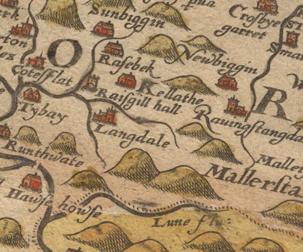
Sax9NY60.jpg
Church, symbol for a parish or village, with a parish church. "Ravingstangdale"
item:- private collection : 2
Image © see bottom of page
placename:- Ravingstandale

MER5WmdA.jpg
"Ravingstandale"
circle
item:- Armitt Library : 2008.14.3
Image © see bottom of page
placename:- Ravingstangdale
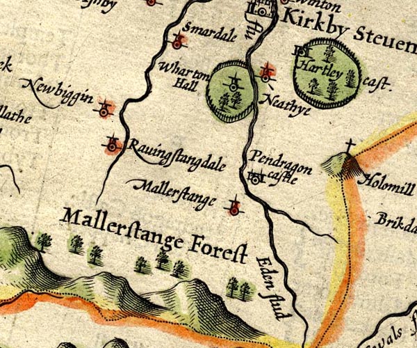
SP14NY70.jpg
"Ravingstangdale"
circle, tower
item:- Armitt Library : 2008.14.5
Image © see bottom of page
placename:- Ravingstangdale
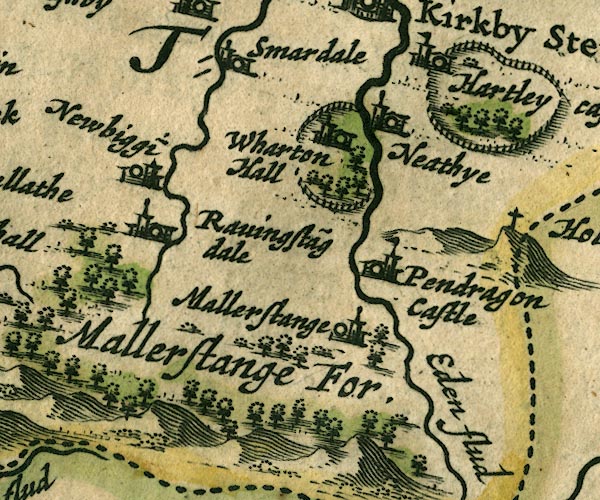
JAN3NY70.jpg
"Ravingsta~gdale"
Buildings and tower.
item:- JandMN : 88
Image © see bottom of page
placename:- Ravenstonedale
"Ravenstonedale"
placename:- Town Angle
"Town Angle"
in "Ravenstone Daill"
placename:- Ravingstondale
placename:- Russendale
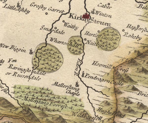
MD10NY70.jpg
"Ravingstondale or Russendale"
Circle.
item:- JandMN : 24
Image © see bottom of page
placename:- Russendale
 click to enlarge
BD12.jpg
"Russendale"
circle, italic lowercase text; village, hamlet or locality
item:- Dove Cottage : 2007.38.62
Image © see bottom of page
placename:- Rissendale
 goto source
Page 1020:- "..."
"... the Lone or Lune, which rising near Mallerstrand Forest, not far from Rissendale, ..."
placename:- Russendale
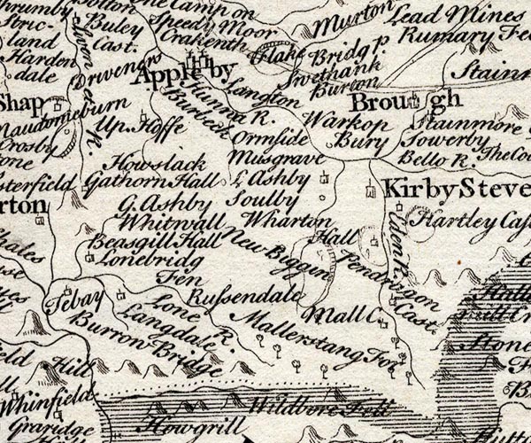
SMP2NYQ.jpg
"Russendale"
item:- Dove Cottage : 2007.38.59
Image © see bottom of page
placename:- Ravingstone
placename:- Rissendale
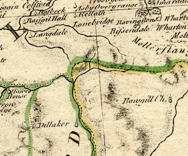
BO18NY60.jpg
"Ravingstone [or] Rissendale"
circle, tower
item:- Armitt Library : 2008.14.10
Image © see bottom of page
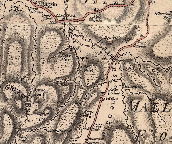
J5NY70SW.jpg
"Town"
blocks, labelled in italic lowercase text; settlement, village?; in Ravenstonedale valley
item:- National Library of Scotland : EME.s.47
Image © National Library of Scotland
placename:- Ravenstondale
item:- standard bearer; Battle of Solway Moss
 goto source
Pennant's Tour 1773, page 123 "... Ravenston-dale, a parish which had the honour of giving birth to the late pious, benevolent, learned and humane Divine the Reverend Dr. George Fothergil, under whom I had the happiness of four years tuition at Queen's College, Oxford. He was of a respectable family in this dale, and reckoned among his ancestors Sir William Fothergil, standard-bearer to Sir Thomas Wharton at the battle of Solway Moss."
 goto source
Tour to the Caves in the West Riding of Yorkshire, late 18th century
Page 243:- "..."
"... The Roman road is easily traced from Ribchester ... to Overborough; afterwards the Roman road goes through Casterton and Middleton, and, as some think, by Borrow-bridge and Orton, to Apulby. Others, and perhaps from better reasons, are of opinion, the road went by Sedbergh, or Sedburgh, [2] over Blewcaster, along Ravenstonedale-street, and through Kirkby-Stephen, to Brough or Burgh."
"[2] ... Street is derived from the Latin word stratum, or military road, or causeway. ..."
placename:- Ravenstondale
placename:- Rissendale
 goto source
Page 155:- "..."
"The river Lune rising a little above Ravenstondale, or Rissendale, ..."
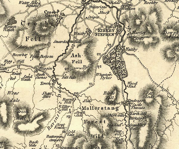
CY24NY70.jpg
"Town"
block/s, labelled in italic lowercase; house, or hamlet
item:- JandMN : 129
Image © see bottom of page
placename:- Ravenstonedale
item:- population
 goto source
"..."
"RAVENSTONEDALE, a parish in East ward, Westmoreland, 5 miles from Kirby Stephen, and 260 from London; containing 224 houses and 1138 inhabitants. The church is a small but neat structure rebuilt in 1744, and has a square tower containing three bells. There is a handsome meeting house, for Calvinistic dissenters, whose minister has established a Sunday school. The grammar-school was rebuilt in 1758, and was originally well endowed. Many of the men, women, and children are employed, during the winter, in knitting worsted stockings for the market at Kendal. ... The church is a perpetual curacy, in the patronage of the earl of Lonsdale, who is lord of the manor. - Monthly Magazine, 1801."
"..."
placename:- Ravenstonedale
 click to enlarge
COP4.jpg
"Ravenstonedale"
area
item:- Dove Cottage : 2007.38.53
Image © see bottom of page
item:- tenancy
 goto source
Gentleman's Magazine 1825 part 1 p.516 "Compendium of County History. - Westmorland."
"One of the customs at RAVENSTONEDALE is very peculiar. If any tenant being of the age sixteen die, not having a child born in wedlock, and without a will attested by at least 4 tenants of the manor, his estate escheats to the lord. The Earl of Lonsdale offered to enfranchise the tenants, but such was their attachment to ancient customs as to refuse the offer."
item:- Bowderdale Angle; Fellend Angle; Newbiggin Angle; Town Angle
Ravenstonedale is listed under four separate angles - Bowderdale Angle, Fellend Angle, Newbiggin Angle, and Town Angle.
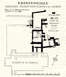 click to enlarge
HMW118.jpg
On p.198 of the Inventory of the Historical Monuments in Westmorland.
printed, top "RAVENSTONEDALE / MEDIAEVAL FOUNDATIONS NORTH OF THE CHURCH"
RCHME no. Wmd, Ravenstonedale 2
item:- Armitt Library : A745.119
Image © see bottom of page
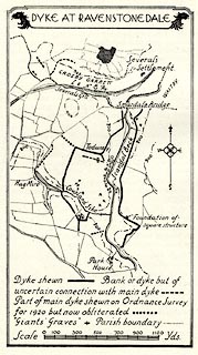 click to enlarge
HMW119.jpg
On p.200 of the Inventory of the Historical Monuments in Westmorland.
printed, top "DYKE AT RAVENSTONEDALE"
RCHME no. Wmd, Ravenstonedale 33
item:- Armitt Library : A745.120
Image © see bottom of page
placename:- Ravenstonedale
 click to enlarge
POF7Cm.jpg
"Ravenstonedale"
map date 1909
placename:- Ravenstonedale
 click to enlarge
PF10Cm.jpg
"Ravenstonedale"
map date 1892
placename:- Ravenstonedale
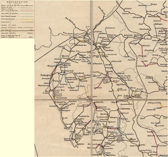 click to enlarge
POF2Cm.jpg
"Ravenstonedale"
map date 1890
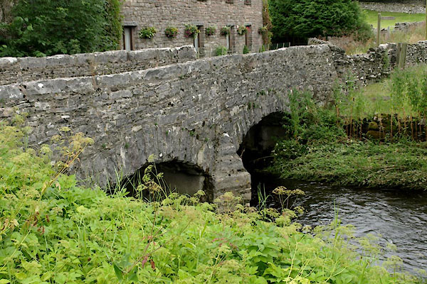
 |
NY72120361 bridge, Ravenstonedale (Ravenstonedale) |
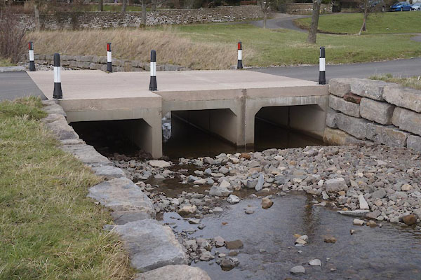
 |
NY72410402 bridge, Ravenstonedale (3) (Ravenstonedale) |
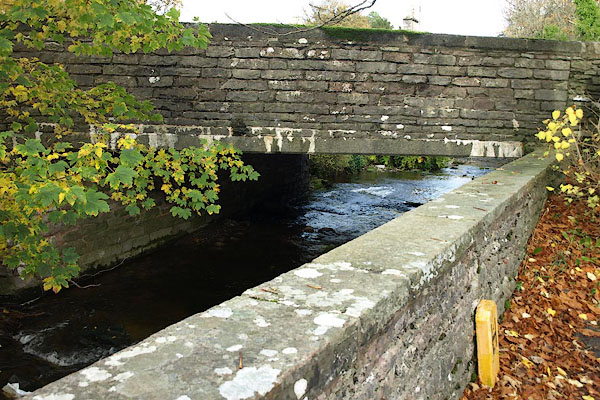
 |
NY72150356 bridge, Ravenstonedale (4) (Ravenstonedale) |
 |
NY72090435 Coldbeck Bridge (Ravenstonedale) |
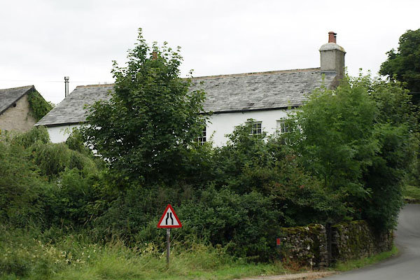 |
NY72020433 Coldbeck Farm (Ravenstonedale) L |
 |
NY72000437 Coldbeck House (Ravenstonedale) |
 |
NY72050435 Coldbeck (Ravenstonedale) |
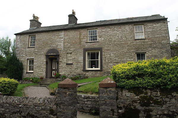 |
NY72330393 Croft House (Ravenstonedale) |
 |
NY72190370 drain, Ravenstonedale (Ravenstonedale) |
 |
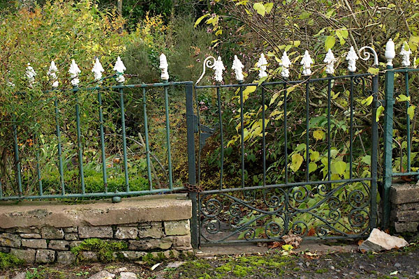
NY72180410 Elm Lodge (Ravenstonedale) |
 |
NY72080437 fence, Ravenstonedale (Ravenstonedale) |
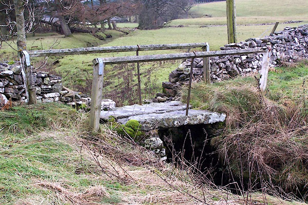 |
NY72170356 footbridge, Ravenstonedale (Ravenstonedale) |
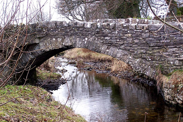 |
NY72110360 footbridge, Ravenstonedale (2) (Ravenstonedale) |
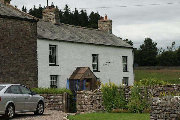 |
NY72320435 Garshill Farm (Ravenstonedale) L |
 |
NY72450429 Garshill (Ravenstonedale) |
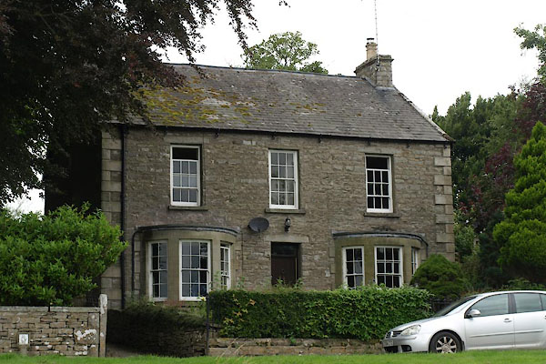 |
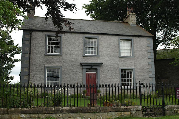
NY72150365 Haven, The (Ravenstonedale) L |
 |
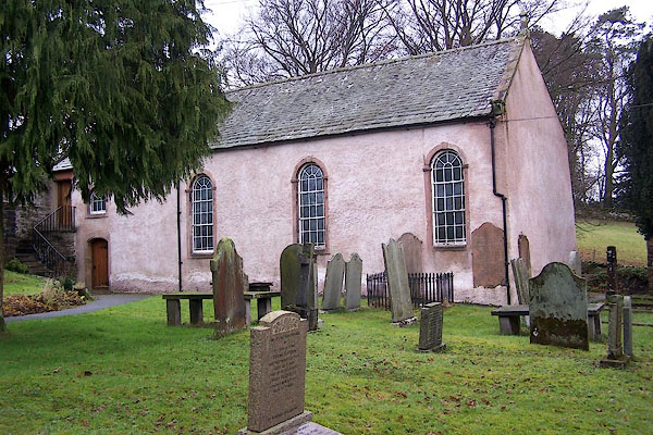
NY72160368 High Chapel House (Ravenstonedale) L |
 |
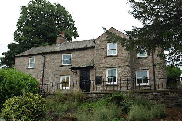
NY72260393 High Chapel (Ravenstonedale) L |
 |
NY72290387 Hill House (Ravenstonedale) L |
 |
NY72450420 Hobers Lane (Ravenstonedale) |
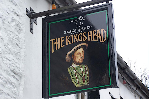 |
NY72100433 King's Head (Ravenstonedale) L |
 |
NY723042 Lanes Cottage, The (Ravenstonedale) |
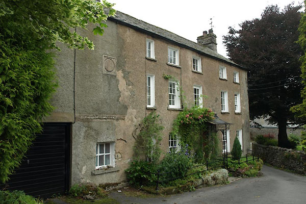 |
NY72270399 Manor House (Ravenstonedale) L |
 |
NY72790442 milestone, Ravenstonedale (6) (Ravenstonedale) |
 |
NY719045 motte, Ravenstonedale (Ravenstonedale) supposed |
 |
NY72240435 pinfold, Ravenstonedale (Ravenstonedale) not found |
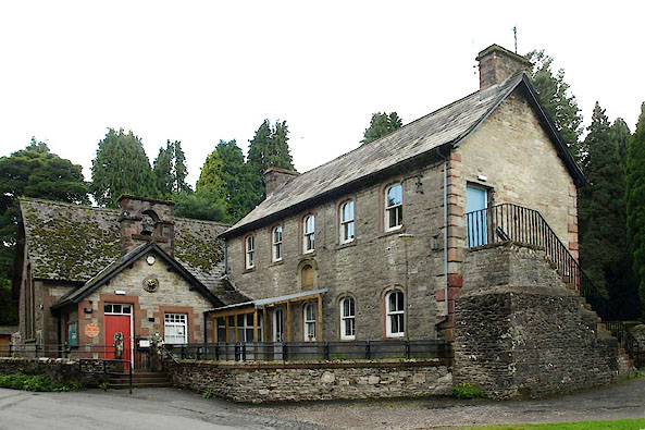 |
NY72250416 Ravenstonedale Endowed School (Ravenstonedale) |
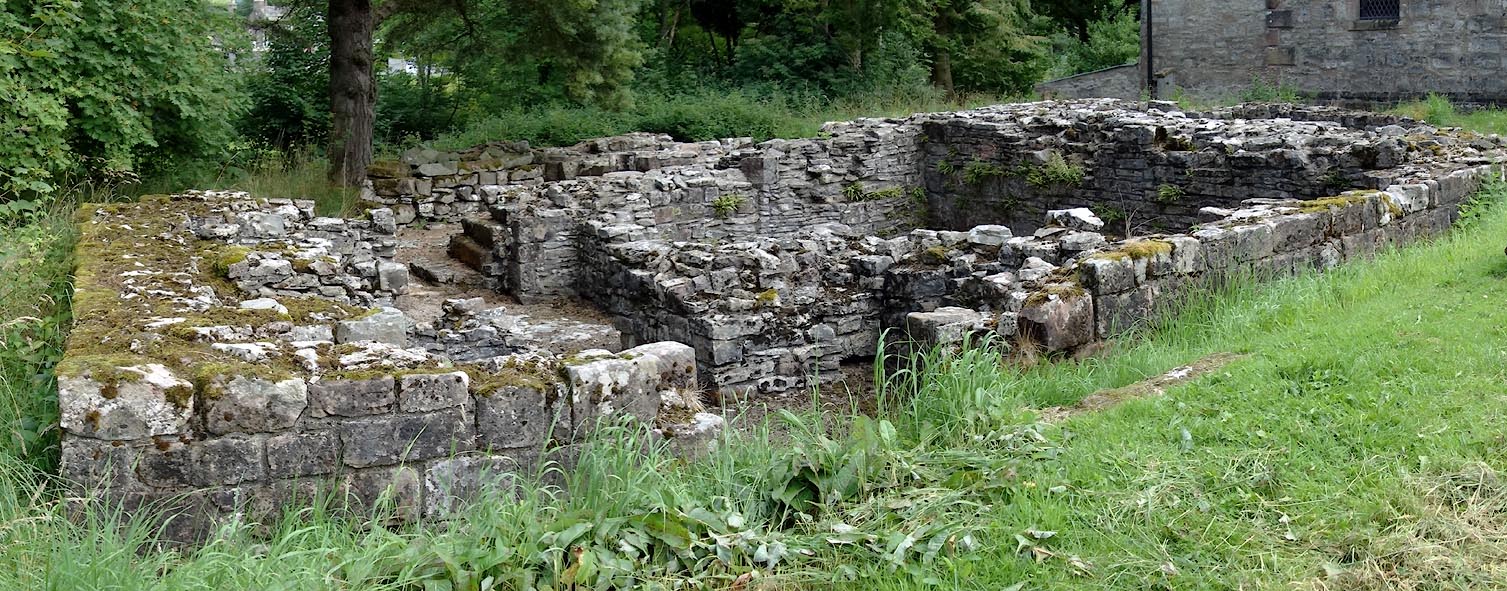 |
NY72220428 Ravenstonedale Priory (Ravenstonedale) |
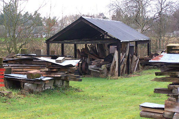 |
NY72250431 saw mill, Ravenstonedale (Ravenstonedale) |
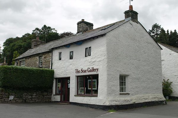 |
NY72320402 Scar View Cottage (Ravenstonedale) L |
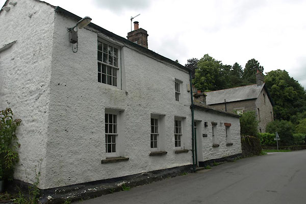 |
NY72310404 Scaur, The (Ravenstonedale) L |
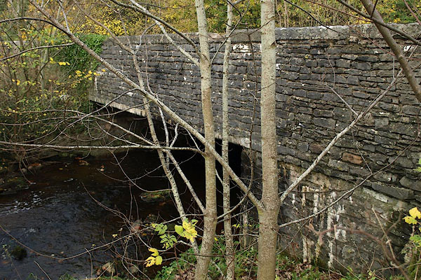 |
NY72210435 Stepsbeck Bridge (Ravenstonedale) |
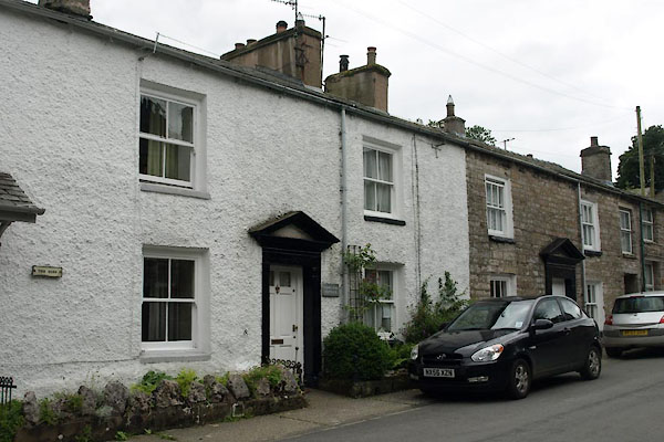 |
NY72370398 Town End Cottage (Ravenstonedale) L |
 |
NY72390399 Town End Farm (Ravenstonedale) |
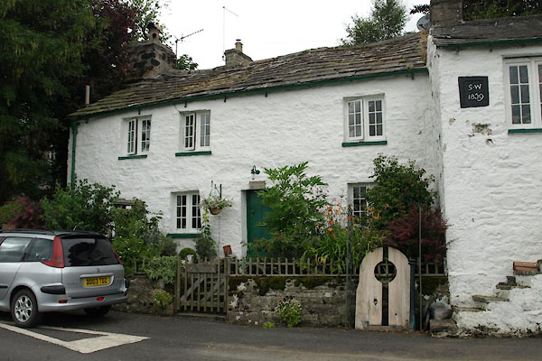 |
NY72170366 Town Head Cottage (Ravenstonedale) L |
 |
NY72090379 Town Head Farm (Ravenstonedale) |
 |
NY72140374 Town Head (Ravenstonedale) |
 |
NY72280406 Vicarage (Ravenstonedale) |
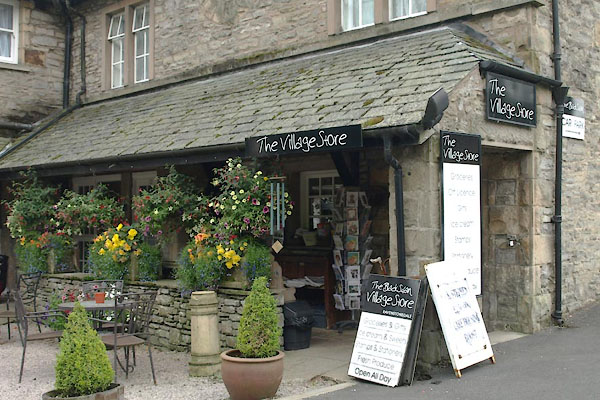 |
NY72330401 Village Shop, The (Ravenstonedale) |
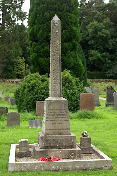 |
NY72220422 war memorial, Ravenstonedale (Ravenstonedale) |
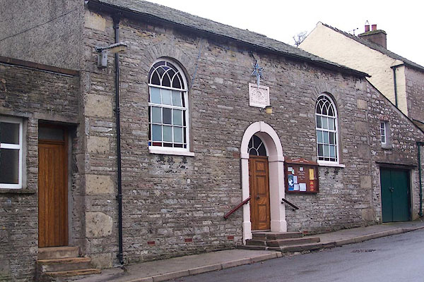 |
NY72360396 Wesleyan Centenary Chapel (Ravenstonedale) L |
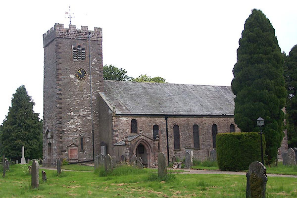 |
NY72230426 St Oswald's Church (Ravenstonedale) L |
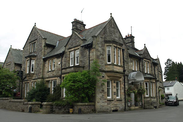 |
NY72360401 Black Swan, The (Ravenstonedale) |
