 Old Cumbria Gazetteer
 |
 |
|
| Stepsbeck Bridge, Ravenstonedale | ||
| Stepsbeck Bridge | ||
| site name:- | Scandal Beck | |
| locality:- | Ravenstonedale | |
| civil parish:- | Ravenstonedale (formerly Westmorland) | |
| county:- | Cumbria | |
| locality type:- | bridge | |
| coordinates:- | NY72210435 | |
| 1Km square:- | NY7204 | |
| 10Km square:- | NY70 | |
|
|
||
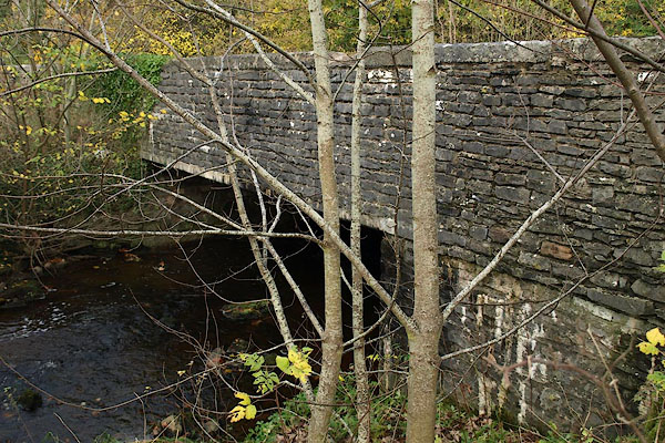 BRU14.jpg (taken 29.10.2009) 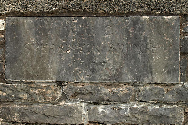 BRU16.jpg Plaque:- "W.C.C. / STEPSBECK BRIDGE / 1967" (taken 29.10.2009) |
||
|
|
||
| evidence:- | old map:- OS County Series (Wmd 29 8) placename:- Stepsbeck Bridge |
|
| source data:- | Maps, County Series maps of Great Britain, scales 6 and 25
inches to 1 mile, published by the Ordnance Survey, Southampton,
Hampshire, from about 1863 to 1948. |
|
|
|
||
| evidence:- | old map:- Cary 1789 (edn 1805) |
|
| source data:- | Map, uncoloured engraving, Westmoreland, scale about 2.5 miles
to 1 inch, by John Cary, London, 1789; edition 1805.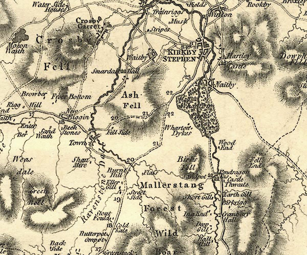 CY24NY70.jpg road across a stream; bridge over Scandal Beck item:- JandMN : 129 Image © see bottom of page |
|
|
|
||
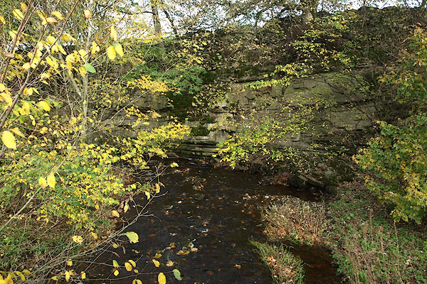 BRU17.jpg View of river. (taken 29.10.2009) |
||
|
|
||
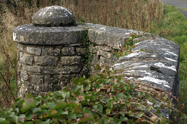 BRU15.jpg (taken 29.10.2009) |
||
|
|
||
 Lakes Guides menu.