Old Cumbria Gazetteer
 |
 |
|
||
| Easedale Beck | ||||
| runs into:- |  Rothay, River Rothay, River |
|||
|
|
||||
| civil parish:- | Lakes (formerly Westmorland) | |||
| county:- | Cumbria | |||
| locality type:- | river | |||
| 1Km square:- | NY3308 (etc) | |||
| 10Km square:- | NY30 | |||
|
|
||||
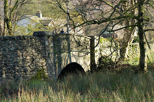
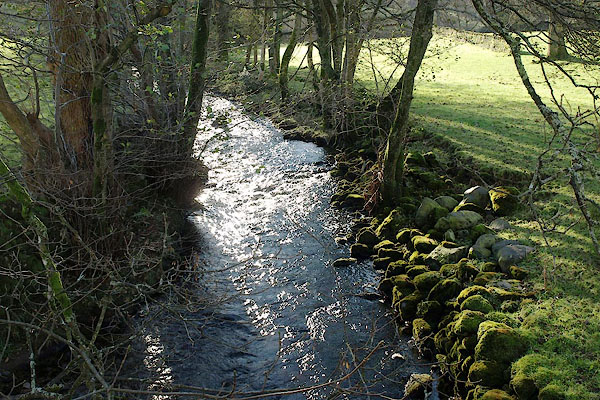 BRV06.jpg At Goody Bridge, (taken 11.11.2009) |
||||
|
|
||||
| evidence:- | old map:- OS County Series (Wmd 18 16) placename:- Easedale Beck |
|||
| source data:- | Maps, County Series maps of Great Britain, scales 6 and 25
inches to 1 mile, published by the Ordnance Survey, Southampton,
Hampshire, from about 1863 to 1948. |
|||
|
|
||||
| evidence:- | old map:- Saxton 1579 |
|||
| source data:- | Map, hand coloured engraving, Westmorlandiae et Cumberlandiae Comitatus ie Westmorland
and Cumberland, scale about 5 miles to 1 inch, by Christopher Saxton, London, engraved
by Augustinus Ryther, 1576, published 1579-1645.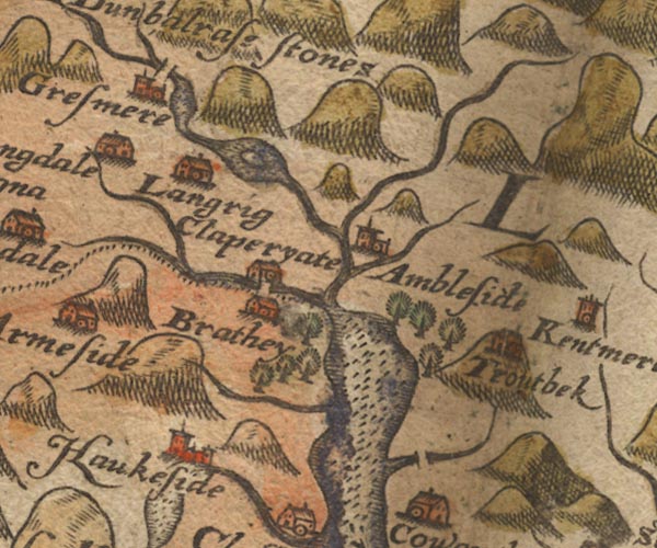 Sax9NY30.jpg item:- private collection : 2 Image © see bottom of page |
|||
|
|
||||
| evidence:- | old map:- Speed 1611 (Wmd) |
|||
| source data:- | Map, hand coloured engraving, The Countie Westmorland and
Kendale the Cheif Towne, scale about 2.5 miles to 1 inch, by
John Speed, 1610, published by George Humble, Popes Head Alley,
London, 1611-12.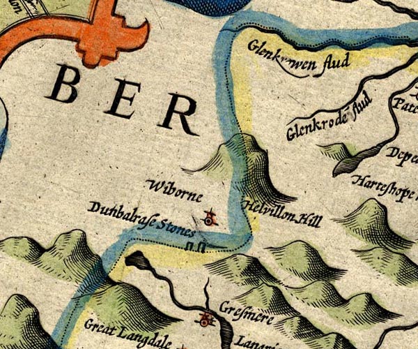 SP14NY31.jpg double line, from tarn to Grasmere item:- Armitt Library : 2008.14.5 Image © see bottom of page |
|||
|
|
||||
| evidence:- | old map:- Jansson 1646 |
|||
| source data:- | Map, hand coloured engraving, Cumbria and Westmoria, ie
Cumberland and Westmorland, scale about 3.5 miles to 1 inch, by
John Jansson, Amsterdam, Netherlands, 1646.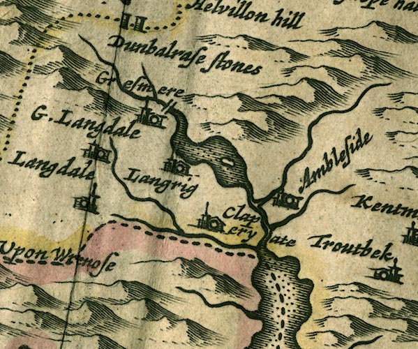 JAN3NY30.jpg Single wiggly line. item:- JandMN : 88 Image © see bottom of page |
|||
|
|
||||
| evidence:- | old map:- Seller 1694 (Wmd) |
|||
| source data:- | Map, hand coloured engraving, Westmorland, scale about 8 miles
to 1 inch, by John Seller, 1694. click to enlarge click to enlargeSEL7.jpg tapering wiggly line; river item:- Dove Cottage : 2007.38.87 Image © see bottom of page |
|||
|
|
||||
| evidence:- | old map:- Morden 1695 (Wmd) |
|||
| source data:- | Map, hand coloured engraving, Westmorland, scale about 2.5 miles to 1 inch, by Robert
Morden, published by Abel Swale, the Unicorn, St Paul's Churchyard, Awnsham, and John
Churchill, the Black Swan, Paternoster Row, London, 1695.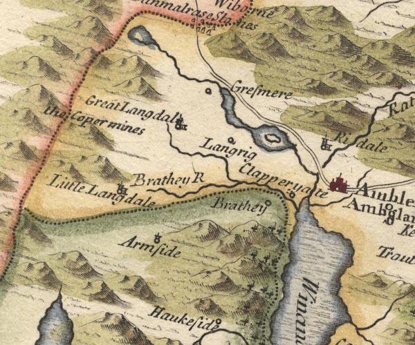 MD10NY30.jpg From Easedale tarn. item:- JandMN : 24 Image © see bottom of page |
|||
|
|
||||
| evidence:- | old map:- Bowen and Kitchin 1760 |
|||
| source data:- | Map, hand coloured engraving, A New Map of the Counties of
Cumberland and Westmoreland Divided into their Respective Wards,
scale about 4 miles to 1 inch, by Emanuel Bowen and Thomas
Kitchin et al, published by T Bowles, Robert Sayer, and John
Bowles, London, 1760.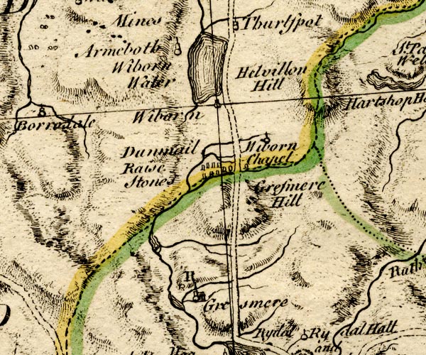 BO18NY20.jpg wiggly line, from Easedale Tarn, into Grasmere lake item:- Armitt Library : 2008.14.10 Image © see bottom of page |
|||
|
|
||||
| evidence:- | old map:- Jefferys 1770 (Wmd) |
|||
| source data:- | Map, 4 sheets, The County of Westmoreland, scale 1 inch to 1
mile, surveyed 1768, and engraved and published by Thomas
Jefferys, London, 1770.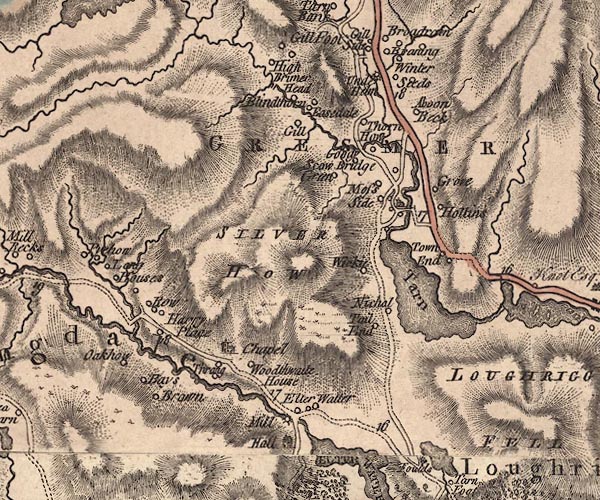 J5NY30NW.jpg single or double wiggly line; river item:- National Library of Scotland : EME.s.47 Image © National Library of Scotland |
|||
|
|
||||
| evidence:- | old map:- Cary 1789 (edn 1805) |
|||
| source data:- | Map, uncoloured engraving, Westmoreland, scale about 2.5 miles
to 1 inch, by John Cary, London, 1789; edition 1805.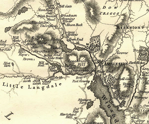 CY24NY30.jpg river running into the Rothay item:- JandMN : 129 Image © see bottom of page |
|||
|
|
||||
| evidence:- | old map:- Cooper 1808 |
|||
| source data:- | Map, hand coloured engraving, Westmoreland ie Westmorland, scale
about 9 miles to 1 inch, by H Cooper, 1808, published by R
Phillips, Bridge Street, Blackfriars, London, 1808. click to enlarge click to enlargeCOP4.jpg tapering wiggly line; river item:- Dove Cottage : 2007.38.53 Image © see bottom of page |
|||
|
|
||||
| evidence:- | old print:- Green 1810 (plate 25) |
|||
| source data:- | Print, soft ground etching, Goody Bridge in Grasmere, the house, Westmorland, by William
Green, Ambleside, Westmorland, 1808.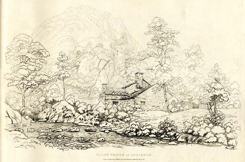 click to enlarge click to enlargeGN1225.jpg Plate 25 in Sixty Studies from Nature, 1810. printed at top right:- "25" printed at bottom:- "GOODY BRIDGE IN GRASMERE. / Drawn and Engraved by William Green and Published at Ambleside, June 24, 1808." watermark:- "J WHATMAN / 1813" item:- Armitt Library : A6641.25 Image © see bottom of page |
|||
|
|
||||
| evidence:- | old photograph:- Bell 1880s-1940s |
|||
| source data:- | Photograph, sepia, Easedale Beck, Easedale, Westmorland, by Herbert Bell, Ambleside,
Westmorland, 1890s.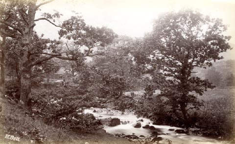 click to enlarge click to enlargeHB0517.jpg internegative at lower left:- "H. Bell" item:- Armitt Library : ALPS180 Image © see bottom of page |
|||
|
|
||||
| evidence:- | old photograph:- Bell 1880s-1940s item:- water gate |
|||
| source data:- | Photograph, black and white, Easedale Beck, Westmorland, by Herbert Bell, Ambleside,
Westmorland, 1890s.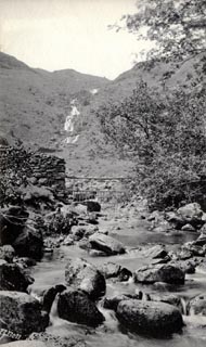 click to enlarge click to enlargeHB0519.jpg internegative at lower left:- "H. Bell" item:- Armitt Library : ALPS182 Image © see bottom of page |
|||
|
|
||||
| evidence:- | old print:- Goodwin 1887 (edn 1890) |
|||
| source data:- | Print, etching? Emma's Dell, Easedale, Westmorland, by Harry Goodwin, published by
Swan Sonnenschein and Co, Paternoster Square, London, 1890.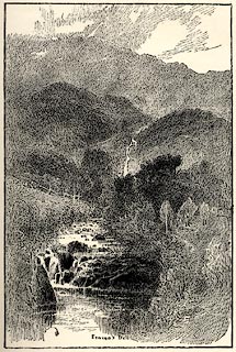 click to enlarge click to enlargePR1587.jpg Tipped in opposite p.78 of Through the Wordsworth Country, by William Knight. printed at lower centre:- "Emma's Dell" item:- JandMN : 382.17 Image © see bottom of page |
|||
|
|
||||
| places:- |
|
|||
|
||||
|
||||
|
||||
|
||||
|
||||
Lakes Guides menu.