 |
 |
   |
|
|
|
Croglin |
| civil parish:- |
Ainstable (formerly Cumberland) |
| county:- |
Cumbria |
| locality type:- |
locality |
| locality type:- |
buildings |
| coordinates:- |
NY57454724 (etc) |
| 1Km square:- |
NY5747 |
| 10Km square:- |
NY54 |
|
|
|
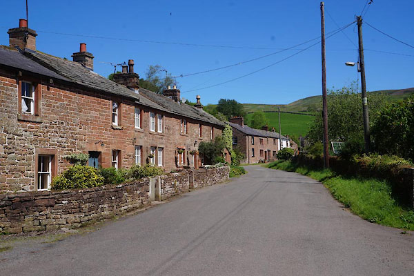
CAW18.jpg (taken 6.6.2014)
|
|
|
| evidence:- |
old map:- OS County Series (Cmd 32 11)
placename:- Croglin
|
| source data:- |
Maps, County Series maps of Great Britain, scales 6 and 25
inches to 1 mile, published by the Ordnance Survey, Southampton,
Hampshire, from about 1863 to 1948.
|
|
|
| evidence:- |
old map:- Saxton 1579
placename:- Croglin Churche
|
| source data:- |
Map, hand coloured engraving, Westmorlandiae et Cumberlandiae Comitatus ie Westmorland
and Cumberland, scale about 5 miles to 1 inch, by Christopher Saxton, London, engraved
by Augustinus Ryther, 1576, published 1579-1645.
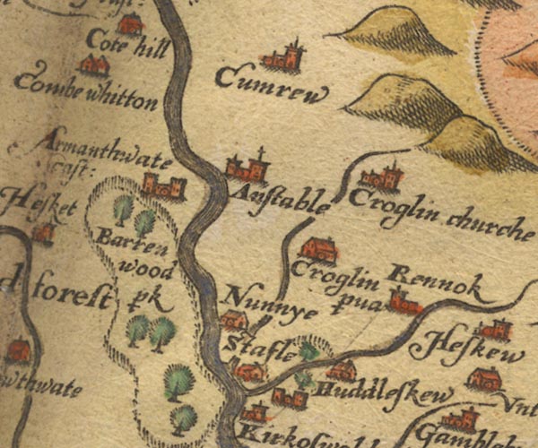
Sax9NY54.jpg
Church, symbol for a parish or village, with a parish church. "Croglin churche"
item:- private collection : 2
Image © see bottom of page
|
|
|
| evidence:- |
probably old map:- Mercator 1595 (edn?)
placename:- Croglyn Church
|
| source data:- |
Map, hand coloured engraving, Northumbria, Cumberlandia, et
Dunelmensis Episcopatus, ie Northumberland, Cumberland and
Durham etc, scale about 6.5 miles to 1 inch, by Gerard Mercator,
Duisberg, Germany, about 1595.
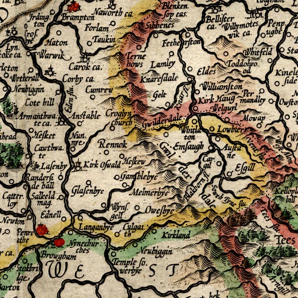
MER8CumD.jpg
"Croglyn church"
circle
item:- JandMN : 169
Image © see bottom of page
|
|
|
| evidence:- |
old map:- Speed 1611 (Cmd)
placename:- Croglin Church
|
| source data:- |
Map, hand coloured engraving, Cumberland and the Ancient Citie
Carlile Described, scale about 4 miles to 1 inch, by John Speed,
1610, published by J Sudbury and George Humble, Popes Head
Alley, London, 1611-12.
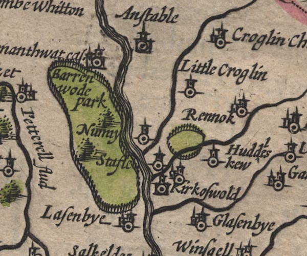
SP11NY54.jpg
"Croglin Church"
circle, building, tower
item:- private collection : 16
Image © see bottom of page
|
|
|
| evidence:- |
old map:- Seller 1694 (Cmd)
placename:- Croglin Church
|
| source data:- |
Map, uncoloured engraving, Cumberland, scale about 12 miles to 1
inch, by John Seller, 1694.
 click to enlarge click to enlarge
SEL9.jpg
"Croglin Chnrch"
circle, italic lowercase text; settlement or house
item:- Dove Cottage : 2007.38.89
Image © see bottom of page
|
|
|
| evidence:- |
old map:- Morden 1695 (Cmd)
placename:- Crogling Church
|
| source data:- |
Map, uncoloured engraving, Cumberland, scale about 4 miles to 1
inch, by Robert Morden, 1695, published by Abel Swale, the
Unicorn, St Paul's Churchyard, Awnsham, and John Churchill, the
Black Swan, Paternoster Row, London, 1695-1715.
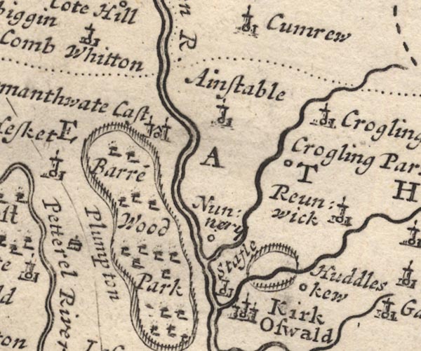
MD12NY54.jpg
"Crogling Church"
Circle, building and tower.
item:- JandMN : 90
Image © see bottom of page
|
|
|
| evidence:- |
old map:- Bowen and Kitchin 1760
placename:- Crogling Church
|
| source data:- |
Map, hand coloured engraving, A New Map of the Counties of
Cumberland and Westmoreland Divided into their Respective Wards,
scale about 4 miles to 1 inch, by Emanuel Bowen and Thomas
Kitchin et al, published by T Bowles, Robert Sayer, and John
Bowles, London, 1760.
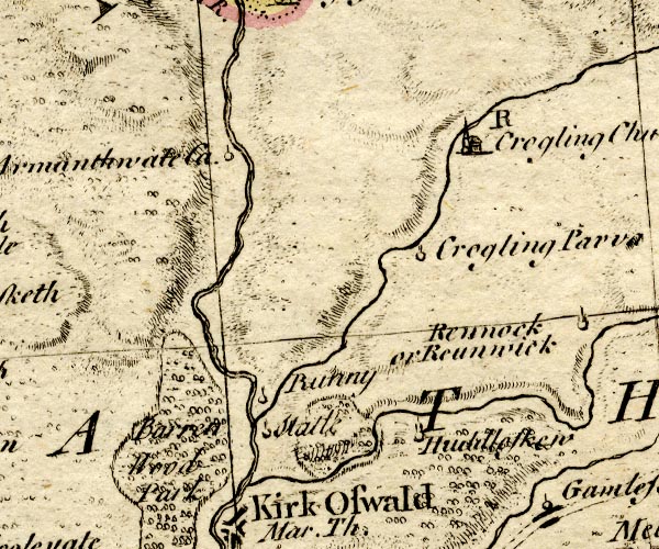
BO18NY54.jpg
"Crogling Church / R"
circle, building and tower, rectory
item:- Armitt Library : 2008.14.10
Image © see bottom of page
|
|
|
| evidence:- |
old map:- Donald 1774 (Cmd)
placename:- Croglin
|
| source data:- |
Map, hand coloured engraving, 3x2 sheets, The County of Cumberland, scale about 1
inch to 1 mile, by Thomas Donald, engraved and published by Joseph Hodskinson, 29
Arundel Street, Strand, London, 1774.
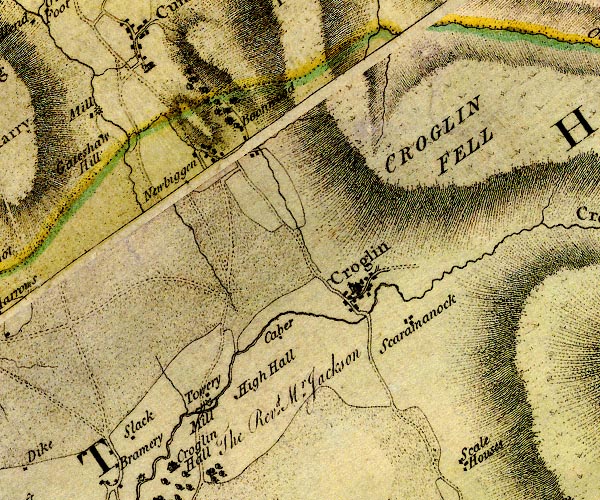
D4NY54NE.jpg
"Croglin"
blocks, and usually a church, labelled in upright lowercase; a village
item:- Carlisle Library : Map 2
Image © Carlisle Library |
|
|
| evidence:- |
old map:- Cooper 1808
placename:- Croglin
|
| source data:- |
Map, uncoloured engraving, Cumberland, scale about 10.5 miles to
1 inch, drawn and engraved by Cooper, published by R Phillips,
Bridge Street, Blackfriars, London, 1808.
 click to enlarge click to enlarge
COP3.jpg
"Croglin"
circle; village or hamlet
item:- JandMN : 86
Image © see bottom of page
|
|
|
| evidence:- |
old map:- Hall 1820 (Cmd)
placename:- Crealin
|
| source data:- |
Map, hand coloured engraving, Cumberland, scale about 21 miles
to 1 inch, engraved by Sidney Hall, published by S Leigh, 18
Strand, London, 1820-31.
 click to enlarge click to enlarge
HA14.jpg
"C[realin"
circle, italic lowercase text; settlement
item:- JandMN : 91
Image © see bottom of page
|
|
|
| evidence:- |
old map:- Ford 1839 map
placename:- Croglin
|
| source data:- |
Map, uncoloured engraving, Map of the Lake District of
Cumberland, Westmoreland and Lancashire, scale about 3.5 miles
to 1 inch, published by Charles Thurnam, Carlisle, and by R
Groombridge, 5 Paternoster Row, London, 3rd edn 1843.
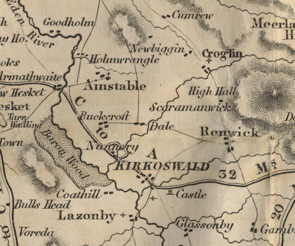
FD02NY54.jpg
"Croglin"
item:- JandMN : 100.1
Image © see bottom of page
|
|
|
| evidence:- |
old map:- Garnett 1850s-60s H
placename:- Croglin
|
| source data:- |
Map of the English Lakes, in Cumberland, Westmorland and
Lancashire, scale about 3.5 miles to 1 inch, published by John
Garnett, Windermere, Westmorland, 1850s-60s.
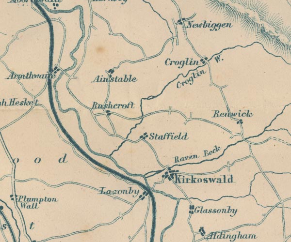
GAR2NY54.jpg
"Croglin"
blocks, settlement
item:- JandMN : 82.1
Image © see bottom of page
|
|
|
| evidence:- |
old map:- Post Office 1850s-1900s
placename:- Croglin
|
| source data:- |
Post road maps, General Post Office Circulation Map for England
and Wales, for the General Post Office, London, 1850s-1900s.
 click to enlarge click to enlarge
POF7Cm.jpg
"Croglin"
map date 1909
|
|
|
:-
|
images courtesy of the British Postal Museum and Hampshire CC Museums
|
|
|
| evidence:- |
perhaps old painting:-
|
| source data:- |
Painting, watercolour, Cumwhitton or Croglin, Cumberland, by William James Blacklock,
1840-58.
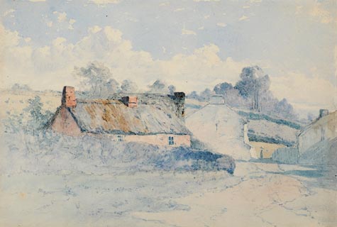 click to enlarge click to enlarge
PR0946.jpg
Path to right of composition leads past small thatched cottage to larger whitewashed
building beyond. Hills and woodland in background.
item:- Tullie House Museum : 1946.67.14
Image © Tullie House Museum |
|
|
|
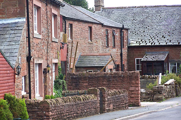
BMM47.jpg Houses opposite the church.
(taken 11.8.2006)
|
|
|
hearsay:-
|
The village of Croglin was burnt by the Scots, 10 May 1346.
|
|
|
| places:- |
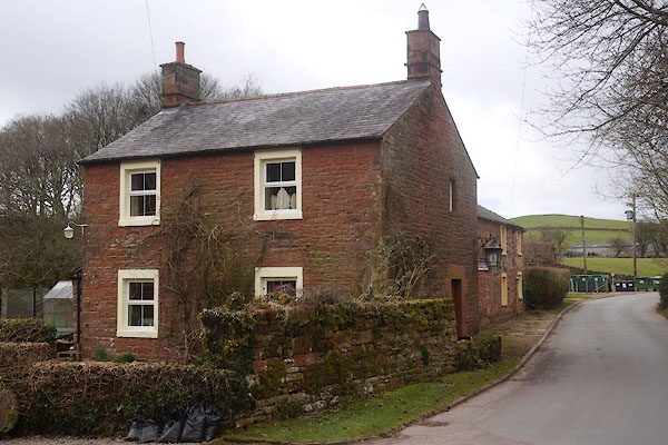 |
NY57534697 Bridge End (Ainstable) |
|
|
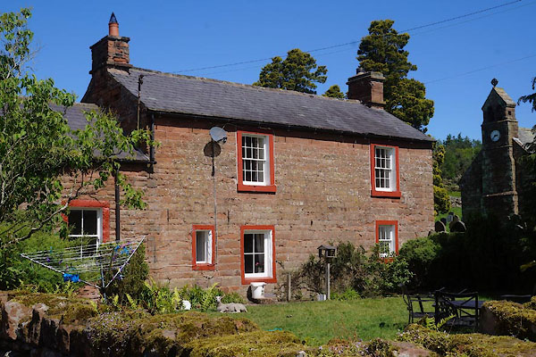 |
NY57424724 Brookside Farm (Ainstable) |
|
|
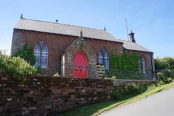 |
NY57284720 chapel, Croglin (Ainstable) |
|
|
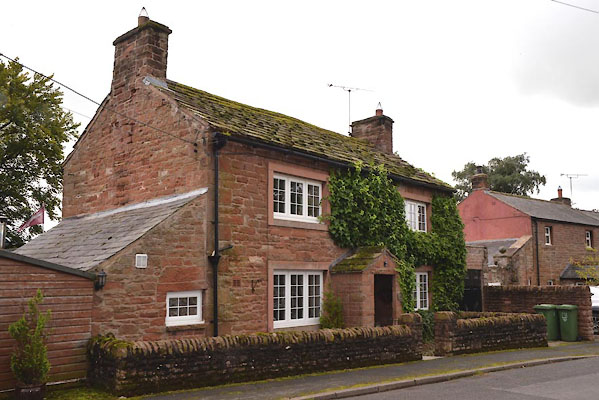 |
NY57464722 Church Cottage (Ainstable) |
|
|
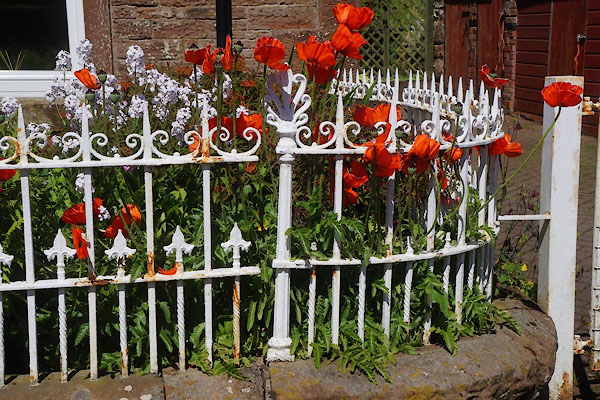 |
NY57494727 Copper Hall (Ainstable) |
|
|
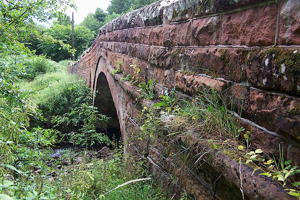 |
NY57554697 Croglin Bridge (Ainstable / Kirkoswald) |
|
|
 |
NY57914737 Croglin Mill (Ainstable) gone |
|
|
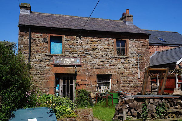 |
NY57514730 Croglin Toys (Ainstable) |
|
|
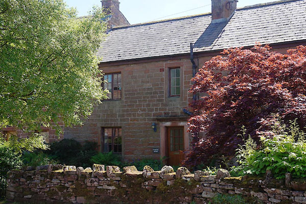 |
NY57414718 Fairhill House (Ainstable) L |
|
|
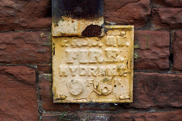 |
NY57524730 hydrant plate, Croglin (Kirkoswald) |
|
|
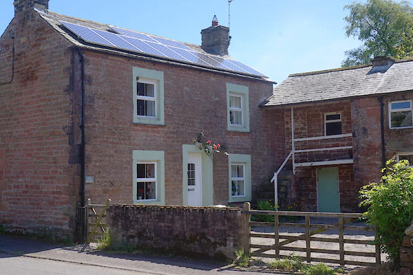 |
NY57444721 Lion House (Ainstable) |
|
|
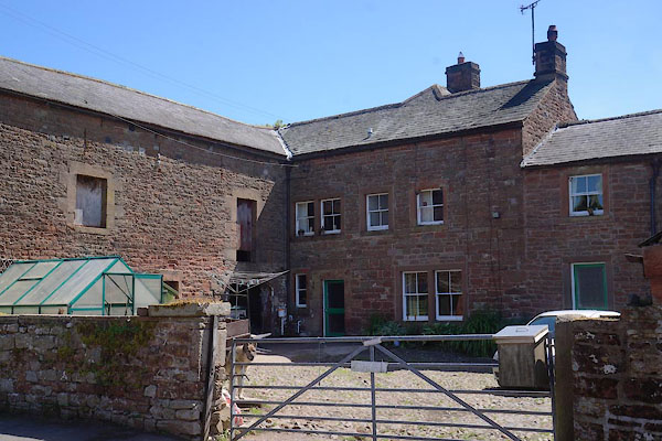 |
NY57544727 Rectory Farm (Ainstable) L |
|
|
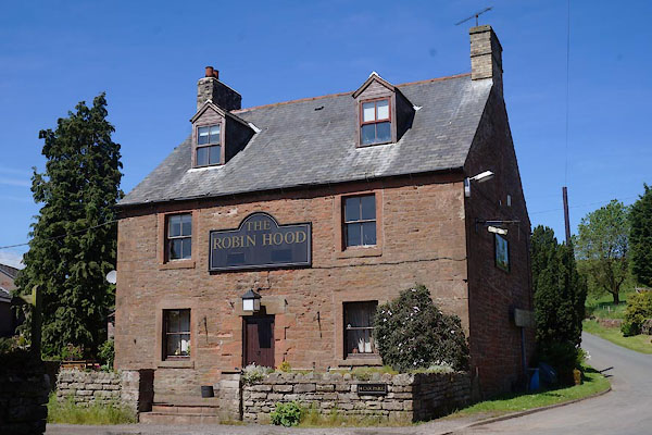 |
NY57354716 Robin Hood, The (Ainstable) |
|
|
 |
NY56784804 school, Ainstable (2) (Ainstable) gone |
|
|
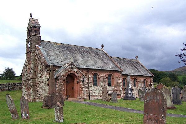 |
NY57454727 St John's Church (Ainstable) L |
|
|
 |
NY57634752 Town Head Farm (Ainstable) |
|
|
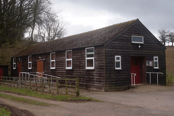 |
NY57464700 village hall, Croglin (Ainstable) |
|
|
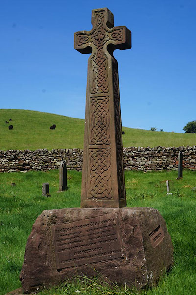 |
NY57444726 war memorial, Croglin (Ainstable) |
|


 click to enlarge


 click to enlarge
 click to enlarge

 click to enlarge
 click to enlarge


