 Old Cumbria Gazetteer
 |
 |
|
| Rectory Farm, Croglin | ||
| Rectory Farm | ||
| locality:- | Croglin | |
| civil parish:- | Ainstable (formerly Cumberland) | |
| county:- | Cumbria | |
| locality type:- | buildings | |
| coordinates:- | NY57544727 | |
| 1Km square:- | NY5747 | |
| 10Km square:- | NY54 | |
| references:- | Listed Buildings 2010 |
|
|
|
||
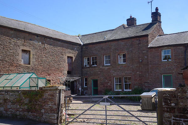 CAW15.jpg What is visible from the street. (taken 6.6.2014) |
||
|
|
||
| evidence:- | old map:- OS County Series (Cmd 32 11) |
|
| source data:- | Maps, County Series maps of Great Britain, scales 6 and 25
inches to 1 mile, published by the Ordnance Survey, Southampton,
Hampshire, from about 1863 to 1948. "Rectory" |
|
|
|
||
| evidence:- | database:- Listed Buildings 2010 placename:- Rectory Farm placename:- Old Pele item:- sundial |
|
| source data:- | courtesy of English Heritage "THE OLD PELE AND RECTORY FARMHOUSE AND BARN / / / AINSTABLE / EDEN / CUMBRIA / II[star] / 73434 / NY5754147276" |
|
|
|
||
| notes:- |
fortified tower and hall (NB: it is not clear whether the Recory is different from
Rectory Farm) |
|
| Perriam, D R &Robinson, J: 1998: Medieval Fortified Buildings of Cumbria: CWAAS::
ISBN 1 873124 23 6; plan and illustration |
||
|
|
||
| hearsay:- |
There is a scratch dial inscribed on the front wall. |
|
|
|
||
 Lakes Guides menu.