 Old Cumbria Gazetteer
 |
 |
|
| Bridge End, Croglin | ||
| Bridge End | ||
| locality:- | Croglin | |
| civil parish:- | Ainstable (formerly Cumberland) | |
| county:- | Cumbria | |
| locality type:- | buildings | |
| locality type:- | saw mill (site) | |
| coordinates:- | NY57534697 | |
| 1Km square:- | NY5746 | |
| 10Km square:- | NY54 | |
|
|
||
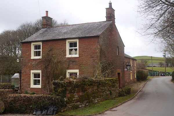 CCQ68.jpg (taken 20.3.2015) 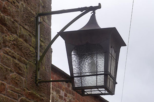 CCQ67.jpg Lamp. (taken 20.3.2015) |
||
|
|
||
| evidence:- | old map:- OS County Series (Cmd 32 11) |
|
| source data:- | Maps, County Series maps of Great Britain, scales 6 and 25
inches to 1 mile, published by the Ordnance Survey, Southampton,
Hampshire, from about 1863 to 1948. "Saw Mill" |
|
|
|
||
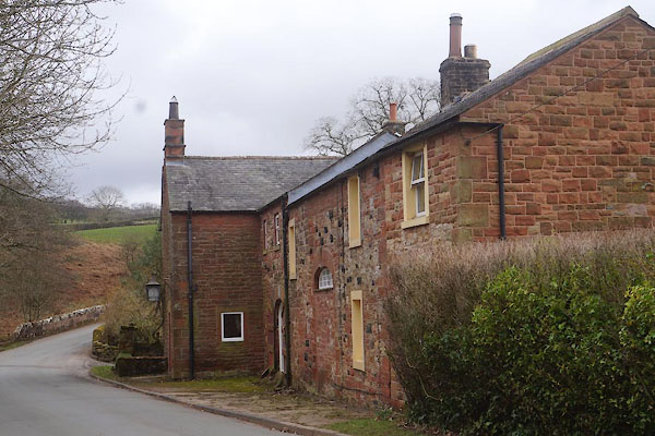 CCQ66.jpg (taken 20.3.2015) |
||
|
|
||
 Lakes Guides menu.