


 Eden, River
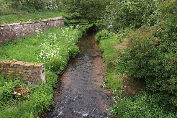
BUP31.jpg At Carlatton Mill Bridge.
(taken 21.5.2011)
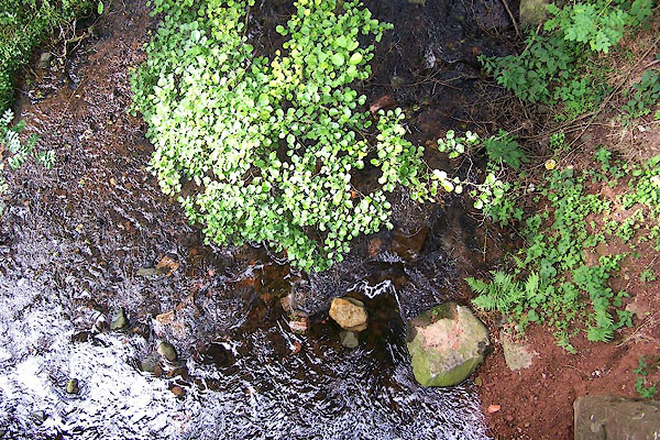
BMO03.jpg At Cairn Bridge.
(taken 25.8.2006)
placename:- Cairn Beck
OS County Series (Cmd 24 7)
OS County Series (Cmd 24 12)
OS County Series (Cmd 24 16)
OS County Series (Cmd 25 13)
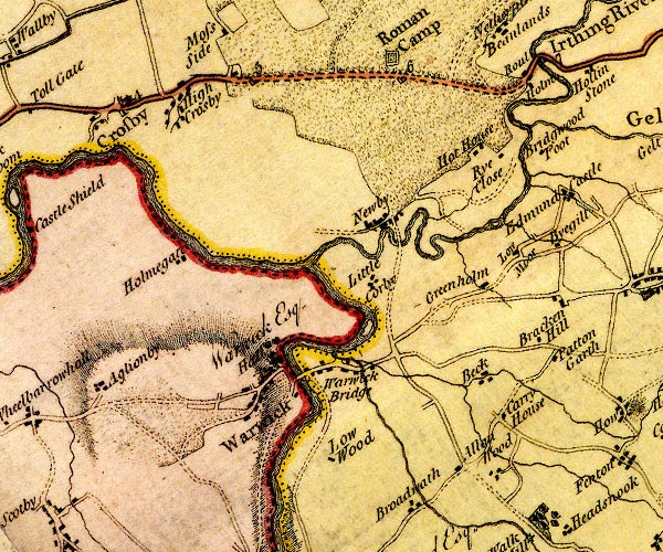
D4NY45NE.jpg
single or double wiggly line; a river into the Eden
item:- Carlisle Library : Map 2
Image © Carlisle Library
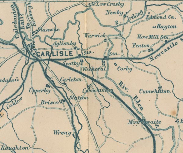
GAR2NY45.jpg
wiggly line, river, from Newbiggin
item:- JandMN : 82.1
Image © see bottom of page
 |
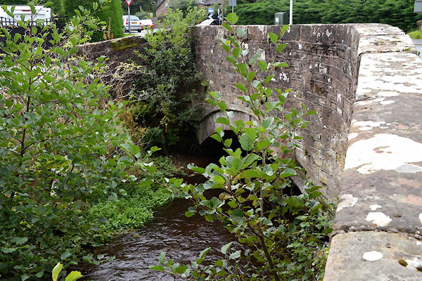
NY47665690 bridge, Warwick Bridge (Wetheral) |
 |
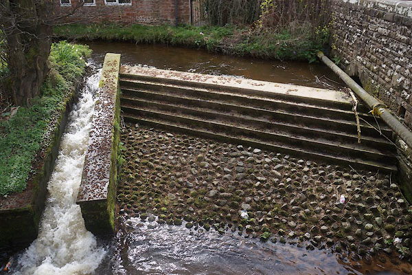
NY47375692 bridge, Warwick Bridge (2) (Wetheral) |
 |
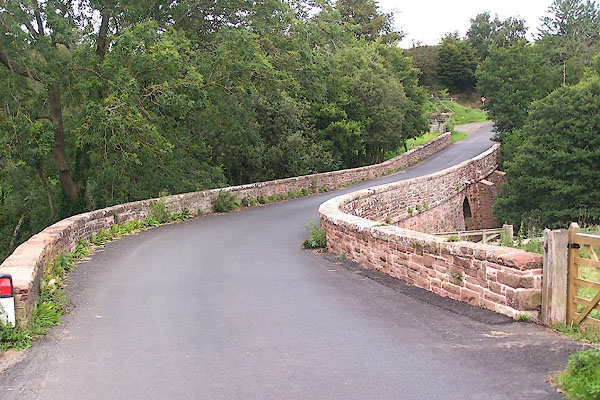
NY47635687 Cairn Beck Fish Pass (Wetheral) |
 |
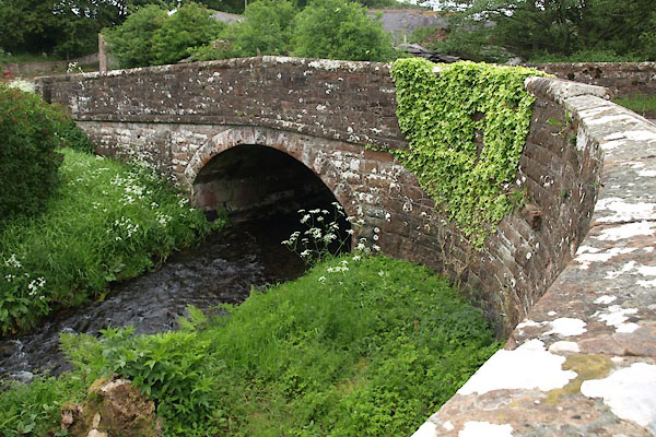
NY50405441 Cairn Bridge (Cumwhitton / Hayton) |
 |
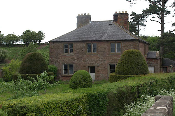
NY52355163 Carlatton Mill Bridge (Carlatton / Cumwhitton) |
 |
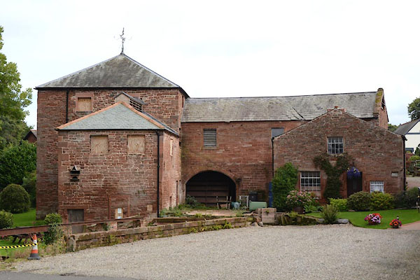
NY52385165 Carlatton Mill (Carlatton) |
 |
NY47405691 Corn Mill, The (Wetheral) L |
 |
NY49615481 Glencairn Mill (Wetheral) |
 |
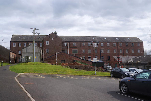
NY52795159 mill, Carlatton (Carlatton) once |
 |
NY47815666 Warwick Mill (Wetheral) L |
