 Old Cumbria Gazetteer
 |
 |
|
| Warwick Mill, Warwick Bridge | ||
| Warwick Mill | ||
| Warwick Mill Business Centre | ||
| site name:- | Cairn Beck | |
| locality:- | Warwick Bridge | |
| civil parish:- | Wetheral (formerly Cumberland) | |
| county:- | Cumbria | |
| locality type:- | buildings | |
| coordinates:- | NY47815666 | |
| 1Km square:- | NY4756 | |
| 10Km square:- | NY45 | |
| references:- | Listed Buildings 2010 |
|
|
|
||
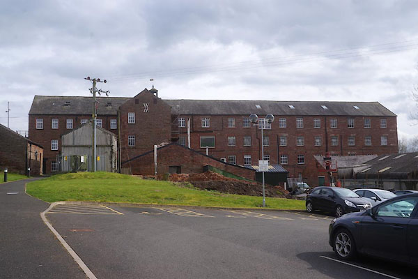 CEV28.jpg (taken 8.4.2016) 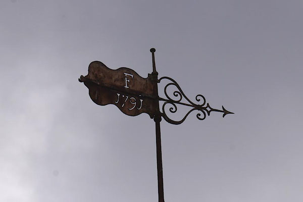 CEV29.jpg Weathervane:- "F / 1791" (taken 8.4.2016) 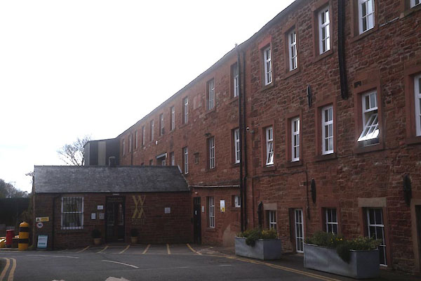 CEV30.jpg (taken 8.4.2016) |
||
|
|
||
| evidence:- | old map:- OS County Series (Cmd 24 3) placename:- Warwickbridge Mill item:- gasometer |
|
| source data:- | Maps, County Series maps of Great Britain, scales 6 and 25
inches to 1 mile, published by the Ordnance Survey, Southampton,
Hampshire, from about 1863 to 1948. "Warwickbridge Mill (Cotton) / Drying Ground / Reservoir / Sluice / School / Gasometer / Pump / Mill Race" |
|
|
|
||
| evidence:- | database:- Listed Buildings 2010 placename:- Mill, The |
|
| source data:- | courtesy of English Heritage "THE MILL / / HIGH BUILDINGS / WETHERAL / CARLISLE / CUMBRIA / II / 77695 / NY4781556661" |
|
|
|
||
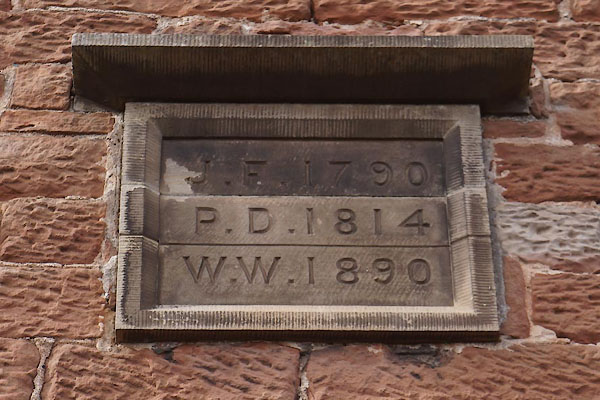 CEV31.jpg Date stones:- "J. F. 1790" "P. D. 1814" "W. W. 1890" (taken 8.4.2016) 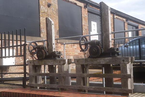 CEV32.jpg Mill lade and sluice gear. (taken 8.4.2016) 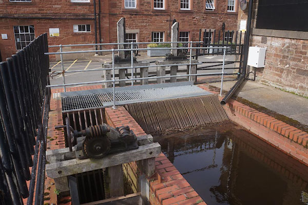 CEV33.jpg Sluice gear. (taken 8.4.2016) 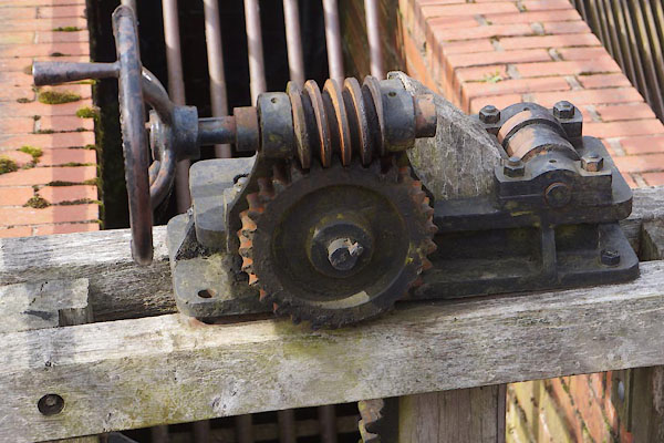 CEV34.jpg Sluice gear. (taken 8.4.2016) 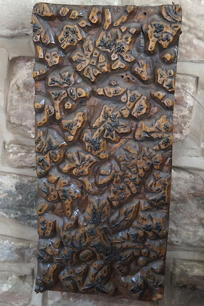 CEV37.jpg Printing block. (taken 8.4.2016) 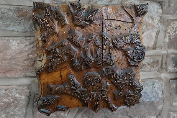 CEV38.jpg Printing block. (taken 8.4.2016) CEV30.jpg (taken 8.4.2016) |
||
|
|
||
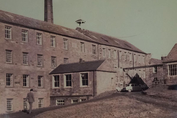 CEV35.jpg (taken 8.4.2016) 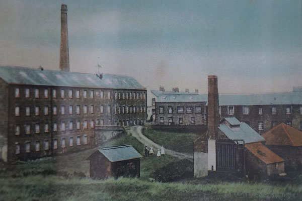 CEV36.jpg (taken 8.4.2016) 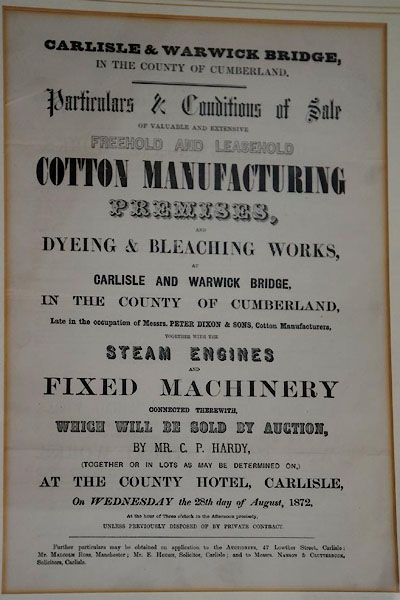 CEV39.jpg Sale notice, 1872. (taken 8.4.2016) 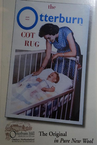 CEV40.jpg Advert for Otterburn Cot Rug, made here. (taken 8.4.2016) |
||
|
|
||
 Lakes Guides menu.