 Old Cumbria Gazetteer
 |
 |
|
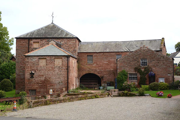
| Corn Mill, Warwick Bridge | ||
| site name:- | Cairn Beck | |
| locality:- | Warwick Bridge | |
| civil parish:- | Wetheral (formerly Cumberland) | |
| county:- | Cumbria | |
| locality type:- | buildings | |
| coordinates:- | NY47405691 | |
| 1Km square:- | NY4756 | |
| 10Km square:- | NY45 | |
| references:- | Listed Buildings 2010 |
|
|
|
||
 CGN04.jpg (taken 8.9.2017) 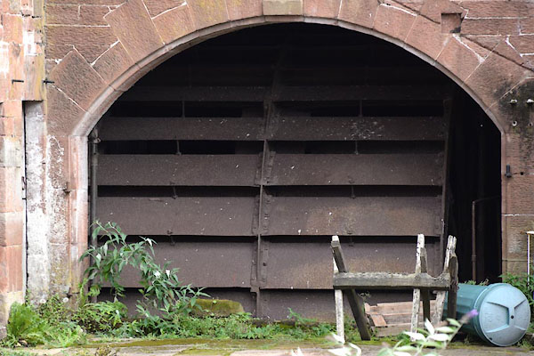 CGN06.jpg Mill wheel. (taken 8.9.2017) |
||
|
|
||
| evidence:- | old map:- OS County Series (Cmd 24 2) |
|
| source data:- | Maps, County Series maps of Great Britain, scales 6 and 25
inches to 1 mile, published by the Ordnance Survey, Southampton,
Hampshire, from about 1863 to 1948. "Corn Mill / Mill Race / Weir" |
|
|
|
||
| evidence:- | database:- Listed Buildings 2010 placename:- Corn Mill, The |
|
| source data:- | courtesy of English Heritage "THE CORN MILL / / A69 / WETHERAL / CARLISLE / CUMBRIA / II[star] / 77751 / NY4741656908" |
|
|
|
||
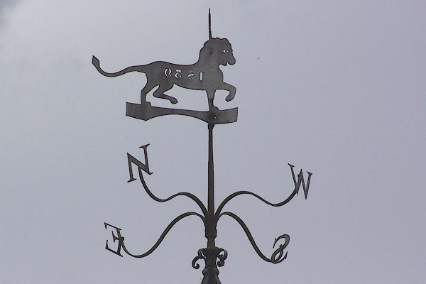 BMO12.jpg Weathervane, 1839. (taken 25.8.2006) 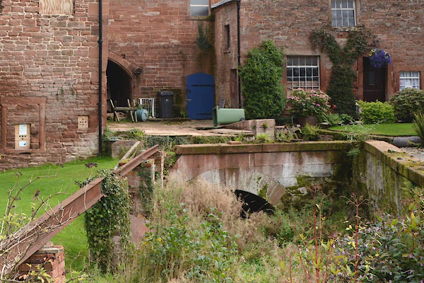 CGN05.jpg Mill lade. (taken 8.9.2017) |
||
|
|
||
 Lakes Guides menu.