 Jansson 1646 NY11


|

|
|
|
gazetteer links places may or may not be labelled on the map |
||

|
-- Bleaberry Tarn |
|
|
|
-- Buttermere Dubs |
|
|
|
-- Buttermere |
|
|
|
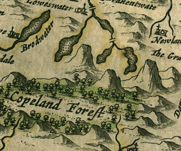
-- Copeland Forest -- "Copeland Forest" |
|
|
|
-- Crummock Water |
|
|
|
-- Ennerdale Water -- "Brodwater" |
|
|
|
-- Loweswater |
|
|
|
-- Park Beck |
|
|
|
-- Scale Bridge |
|
|
civil parishes The area roughly includes parts of parishes:- Lamplugh Nether Wasdale Ennerdale and Kinniside Buttermere Loweswater Above Derwent |
||
|
|
||
|
|
Lakes Guides menu. | |