


 Buttermere Dubs
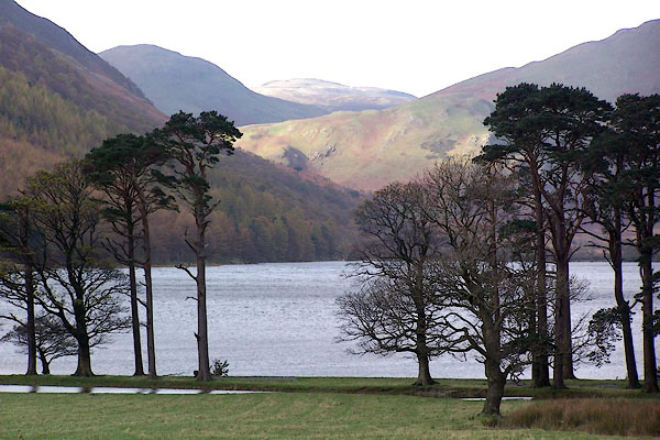
BJZ27.jpg From Gatesgarth.
(taken 7.11.2005)
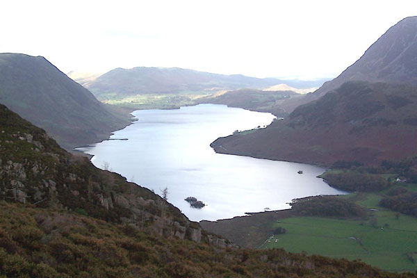
BVQ16.jpg (taken 1.11.2011)
placename:- Butter Mere
"Lowest point of bed of lake 237 feet above O.S. datum"
elsewhere:- "Sur. of Water 331"
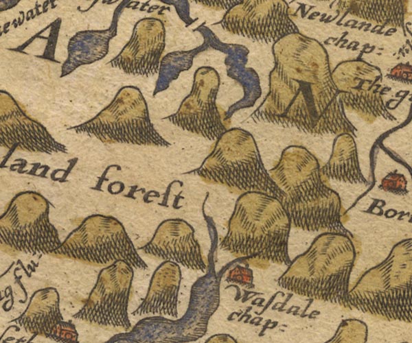
Sax9NY11.jpg
item:- private collection : 2
Image © see bottom of page
placename:-
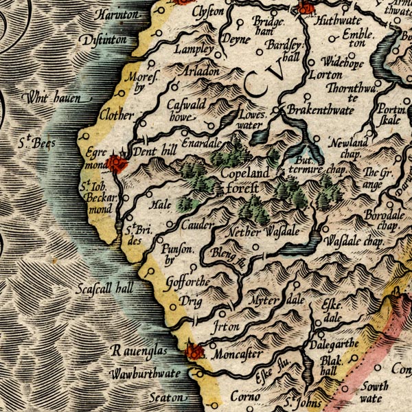
MER8CumE.jpg
""
outline, coast shaded, tinted blue; lake
item:- JandMN : 169
Image © see bottom of page
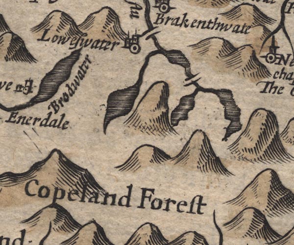
SP11NY11.jpg
outline, shaded
item:- private collection : 16
Image © see bottom of page
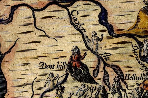
DRY513.jpg
Lake.
item:- JandMN : 168
Image © see bottom of page
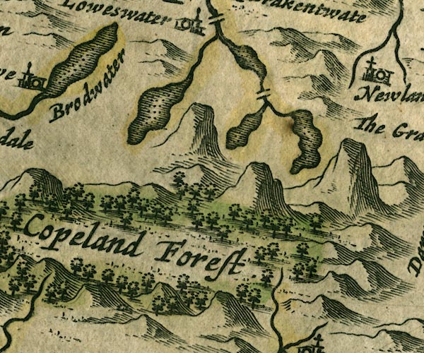
JAN3NY11.jpg
Outline with shore shaded, dotted area.
item:- JandMN : 88
Image © see bottom of page
 click to enlarge
SAN2Cm.jpg
outline, shore shaded; lake
item:- Dove Cottage : 2007.38.15
Image © see bottom of page
 click to enlarge
SEL9.jpg
outline with shaded shore; lake
item:- Dove Cottage : 2007.38.89
Image © see bottom of page
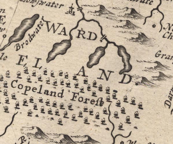
MD12NY11.jpg
Outline with shore shading.
item:- JandMN : 90
Image © see bottom of page
placename:-
 click to enlarge
BD10.jpg
""
outline with form lines
item:- JandMN : 115
Image © see bottom of page
placename:- Buttermeer Lake
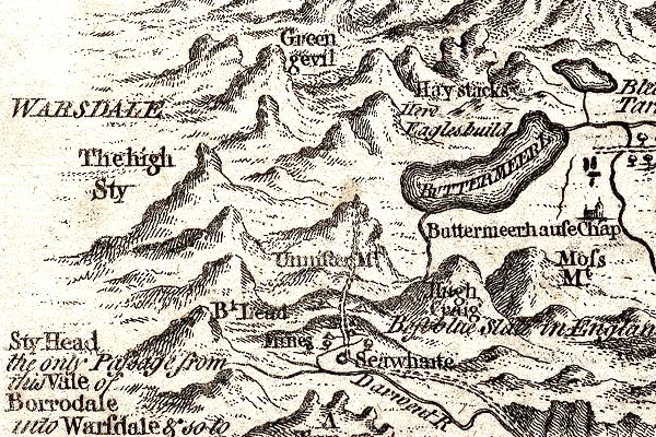
GM1305.jpg
"BUTTERMEER L"
outline with form lines; lake
item:- JandMN : 114
Image © see bottom of page
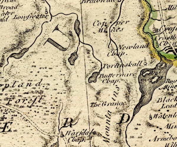
BO18NY11.jpg
outline with form lines
item:- Armitt Library : 2008.14.10
Image © see bottom of page
placename:- Buttermire Water
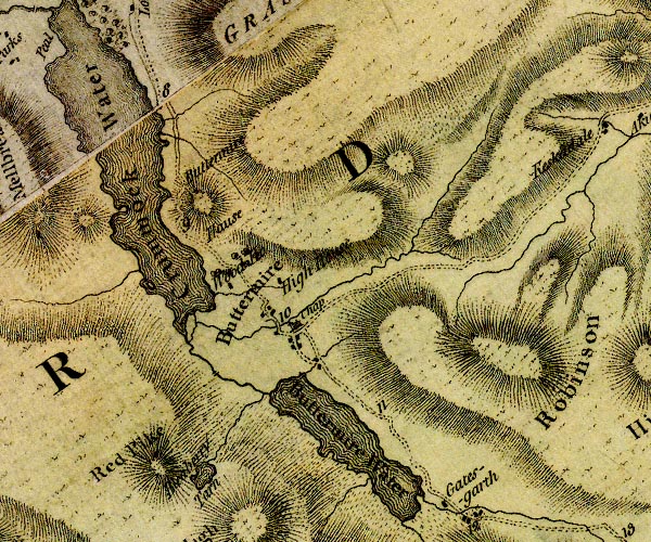
D4NY11NE.jpg
"Buttermire Water"
lake
item:- Carlisle Library : Map 2
Image © Carlisle Library
 goto source
Page 136:- "... Above the village [Buttermere], you have a view of the upper lake, two miles in length, and short of one in breadth. It is terminated on the western side by the ferruginous mountain already mentioned. A stripe of cultivated ground adorns the eastern shore. A group of houses, called Gatesgarth, is seated on the southern extremity, under the most extraordinary amphitheatre of mountainous rocks that ever eye beheld. Here we see Honister-crag rise to an immense height, flanked by two conic mountains, Fleetwith to"
 goto source
Page 137:- "the eastern, and Scarf on the western side; a hundred mountain torrents form never-failing cataracts, that thunder and foam down the centre of the rock, and form the lake below. Here the rocky scenes and mountain landscapes are diversified and contrasted with all that aggrandizes the object in most sublime style, and constitutes a picture the most enchanting of any in these parts."
 goto source
Addendum; Mr Gray's Journal, 1769
Page 209:- "..."
"... char ... plenty in Buttermere-water, which lies a little way north of Borrowdale, about Martinmas, which are potted here. ..."
 goto source
Account of Ennerdale, late 18th century
Page 295:- "Within these few years, several visitors of the lakes extend their tour, by taking in Whitehaven, and proceeding from thence, ... to Ennerdale Broad-water; and, if they choose, from thence to Lowes-water, Buttermere, &c.- This part of the journey (without which the tour is incomplete) cannot, however, be performed in a carriage; but a ride on horseback will amply recompence the trouble, for the scenery is delightful, ..."
"Certain it is, the approach to the lake of Ennerdale, to Lowes-water, and to Buttermere, is from no other quarter so magnificent and captivating. ..."
placename:- Buttermere Lake
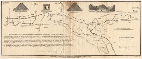 click to enlarge
CT08.jpg
"BUTTERMERE LAKE"
item:- Armitt Library : 1959.191.2
Image © see bottom of page
placename:- Buttermere Water
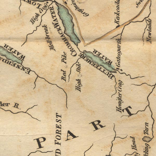
Ws02NY11.jpg
"BUTTERMERE WATER"
item:- Armitt Library : A1221.1
Image © see bottom of page
item:- fish, Buttermere lake; char; trout; grey trout
 goto source
Page 85:- "... This lake of Buttermere has the best fish in it of any, (Ulswater only excepted,) viz. charr and trout for potting, but not very plentiful; here also are some grey-trout, such as in Ulswater, none other of the lakes have them. The right of fishing belongs entirely to the Earl of Egremont, the Lord of the manor."
placename:-
 click to enlarge
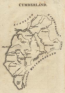
AIK3.jpg
""
outline with form lines; lake
item:- JandMN : 145
Image © see bottom of page
placename:- Buttermere Water
 click to enlarge
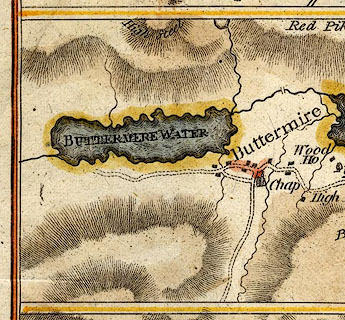
HM01But.jpg
"BUTTERMERE WATER"
item:- Dove Cottage : 2007.38.96
Image © see bottom of page
placename:- Buttermere
 click to enlarge
GRA1Lk.jpg
"Buttermere"
outline with form lines; lake or tarn
item:- Hampshire Museums : FA2000.62.5
Image © see bottom of page
 click to enlarge
GRA1Cd.jpg
outline with form lines; lake or tarn
item:- Hampshire Museums : FA2000.62.2
Image © see bottom of page
placename:- Buttermere
 click to enlarge
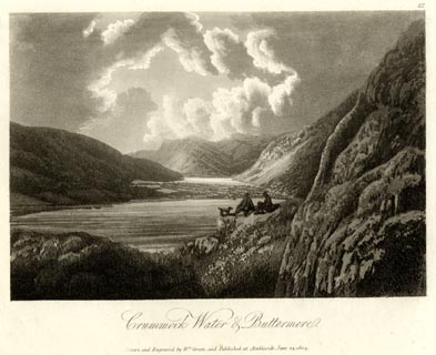
GN1622.jpg
Plate 22 from a series.
printed at bottom:- "Crummock Water &Buttermere. / Drawn and Engraved by Wm. Green, and Published at Ambleside, June 24, 1804."
printed at top right:- "22"
item:- Armitt Library : 2014.170
Image © see bottom of page
placename:- Buttermere Water
 click to enlarge
Lw18.jpg
"Buttermere Water"
lake
item:- private collection : 18.18
Image © see bottom of page
placename:- Buttermere Water
 click to enlarge
COP3.jpg
"Buttermere W."
item:- JandMN : 86
Image © see bottom of page
placename:- Buttermere
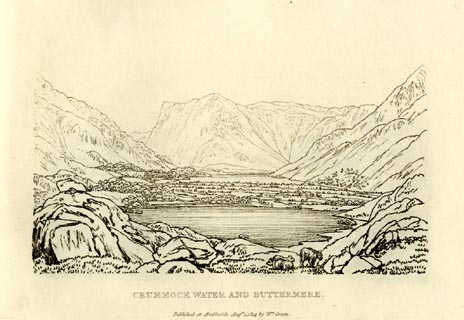 click to enlarge
GN0939.jpg
Plate 39 in Sixty Small Prints.
printed at top right:- "39"
printed at bottom:- "CRUMMOCK WATER AND BUTTERMERE. / Published at Ambleside Augst. 1, 1814, by Wm. Green."
item:- Armitt Library : A6656.39
Image © see bottom of page
placename:- Buttermere
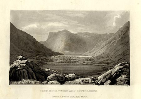 click to enlarge
GN1039.jpg
Plate 39 in Sixty Small Prints.
printed at top right:- "39"
printed at bottom:- "CRUMMOCK WATER AND BUTTERMERE. / Published at Ambleside Augst. 1, 1814, by Wm. Green."
item:- Armitt Library : A6653.39
Image © see bottom of page
placename:- Buttermere
item:- sheep; clouds
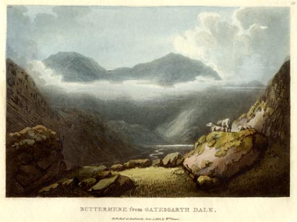 click to enlarge
GN0546.jpg
Plate 50 in Lake Scenery.
printed at upper right:- "50"
printed at bottom:- "BUTTERMERE from GATESGARTH DALE. / Published at Ambleside, June 1, 1815, by Wm. Green."
item:- Armitt Library : A6646.46
Image © see bottom of page
placename:- Buttermere
item:- sheep
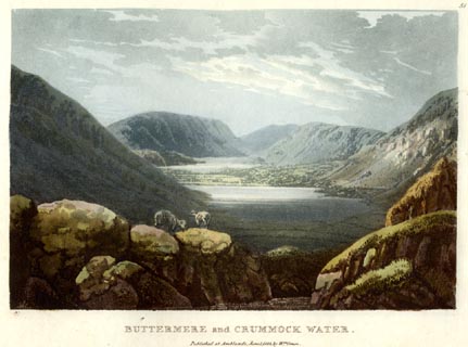 click to enlarge
GN0547.jpg
Plate 51 in Lake Scenery.
printed at upper right:- "51"
printed at bottom:- "BUTTERMERE and CRUMMOCK WATER. / Published at Ambleside, June 1, 1815, by Wm. Green."
item:- Armitt Library : A6646.47
Image © see bottom of page
placename:- Buttermere
item:- geology
 click to enlarge
FA0417.jpg
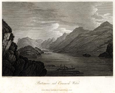
printed, bottom left, right, centre "Drawn by J. Farington R.A. / Engraved by F. R. Hay. / Buttermere and Crommoch Water. / London Published Septr. 15, 1815, by T. Cadell &W. Davies, Strand."
Descriptive text:- "BUTTERMERE AND CRUMMOCK WATER"
"THE Lake of Buttermere is of an oblong form, not exceeding half a mile in breadth; its length is something more than a mile and a half, and it derives its supply of water from a river that flows through Gatesgarth-Dale. Its western shores are hemmed in by a long range of rugged mountains, which rise abruptly from the margin of the water with dark and gloomy aspects, and are known to the shepherds, by whom their craggy steeps are chiefly traversed, by the names of Hay-Cock, High-Crag, High-Stile, and Red-Pike. The blue rag-stone, of which these dark mountains are mostly composed, is not porous, and absorbs but little water; a circumstance that accounts for the number and variety of little water-falls, which in different parts are seen pouring down their steep sides. The eastern shores rise more gently, are partially wooded, and admit of cultivation at a short distance from the Lake; the north end is skirted by the verdant vale of Buttermere, so celebrated by tourists; and the southern extremity is bounded by Honister Crag, which is delineated in the following engraving. From this steep, numerous torrents are continually pouring down their foaming waters into the Lake: one of these roaring cataracts appears in the back-ground of the present view. It is called Scale-force, and is two hundred feet perpendicular: the steep on both sides is covered with moss, fern, ash, and oak, which are all fed by the constant spray, and flourish in indescribable verdure. The delicacy of the effect is heightened by being in a narrow chasm, a hundred yards in the rock, before it rushes into the lower fall, from the point of which the best view is to be obtained."
"..."
item:- Armitt Library : A6666.17
Image © see bottom of page
OT02NY11.jpg
item:- JandMN : 48.1
Image © see bottom of page
placename:- Buttermeer
 click to enlarge
HA14.jpg
"Buttermeer"
outline, shaded; lake
item:- JandMN : 91
Image © see bottom of page
placename:- Buttermere
 click to enlarge
FW0135.jpg
Tipped in opposite p.227 in A Picturesque Tour of the English Lakes.
item:- Dove Cottage : 1993.R566.35
Image © see bottom of page
placename:- Buttermere Lake
item:- depth, Buttermere lake; fishing; trout; char; geology
 goto source
Page 22:- "BUTTERMERE LAKE,"
"Situated in the valley of that name, is nearly encompassed by superb rocky mountains. It is about a mile and a quarter in length, scarcely half a mile in breadth, and fifteen fathoms deep. Tourists visiting Buttermere, by way of Borrowdale, pass along the side of this lake; those who travel in carriages generally content themselves with the view of it from a hill near the village. The distance between this and Crummock lake, is about three quarters of a mile, comprising some excellent arable land."
 goto source
Page 23:- "..."
"Both these lakes [Buttermer and Crummock] are well stocked with trout and char, the latter of which are smaller in size, but perhaps not inferior in quality, to those of Windermere or Coniston."
"..."
 goto source
Page 149:- "A variety of granite with reddish felspar, and which from a deficiency of mica, has sometimes been"
 goto source
Page 151:- "called sienite, .... it becomes a finer grained sienite, in which form it extends through the mountains ... as far as Scale Force, and to the side of Buttermere Lake. It contains veins of red hematite and micaceous iron ore."
placename:- Buttermere
item:- depth, Buttermere lake
 goto source
Page 89:- "..."
"BUTTERMERE"
"Is a mile and a quarter long, half a mile broad, and about fifteen fathoms in depth. It is situated in a valley of its own name, and is encompassed by superb rocky mountains. Buttermere Moss and Robinson bound it on the east; the Hay Stacks, High Crag, High Stile, and Red Pike, on the west; and the north end or outlet is separated from Crummock Water by a fertile plain of meadows."
 goto source
Page 169:- "..."
"BUTTERMERE is perhaps the most deeply embosomed in mountains, of all these fairy sheets of water. It is bordered on the east by woods and meadows, and on the west, by the steeps of High Crag, High Stile, and Red Pike. (See page 89.)"
 goto source
Page 177:- "A TABLE"
"OF THE LENGTH, BREADTH, &c. OF THE LAKES,"
"COLLECTED FROM DIFFERENT AUTHORITIES."
| No. | Names of Lakes. | Height above sea in feet. | Length in miles. | Breadth in miles. | Depth in fathoms. |
| 5 | Buttermere | ¼ - | ½ - | 15 - |
placename:- Buttermere Water
FD02NY11.jpg
"Buttermere Wr."
Outline with form lines.
item:- JandMN : 100.1
Image © see bottom of page
placename:- Buttermere
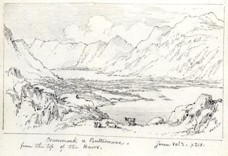 click to enlarge
AS0184.jpg
"Crummock & Buttermere. / Green Vol 2. p 210. / from the top of the Haws."
item:- Armitt Library : 1958.487.83
Image © see bottom of page
placename:- Buttermere Water
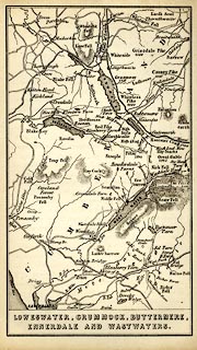 click to enlarge
WLD3M3.jpg
printed at bottom:- "LOWESWATER, CRUMMOCK, BUTTERMERE, / ENNERDALE AND WASTWATERS."
item:- Armitt Library : A1201.66
Image © see bottom of page
placename:- Butter Mere
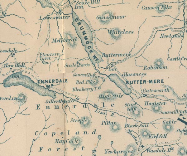
GAR2NY11.jpg
"BUTTER-MERE"
outline with shore form lines, lake or tarn
item:- JandMN : 82.1
Image © see bottom of page
item:- depth, Buttermere lake
 goto source
Page 180:- "A TABLE OF THE LENGTH, BREADTH, AND DEPTH OF THE LAKES."
"No. : Names of Lakes. : Counties : Length in Miles. : Extreme breadth in Miles : Extreme depth in Feet : Height above the Sea"
"13 : Buttermere : Cumberland : 1¼ : ¾: 90 : 247"
placename:-
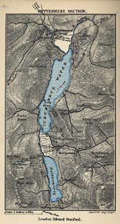 click to enlarge
JK08.jpg
item:- JandMN : 28.10
Image © see bottom of page
placename:- Buttermere
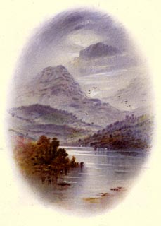 click to enlarge
WLT308.jpg
Plate 8 in English Lake Scenery, with a description by T G Bonney.
item:- JandMN : 469.8
Image © see bottom of page
placename:- Buttermere
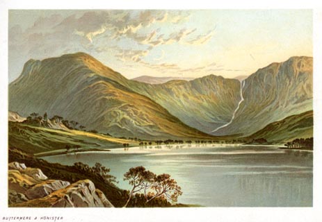 click to enlarge
NS0334.jpg
At the end of Views of the English Lakes, and Tourists Guide to the English Lakes.
printed at bottom:- "BUTTERMERE &HONISTER"
item:- JandMN : 474.35
Image © see bottom of page
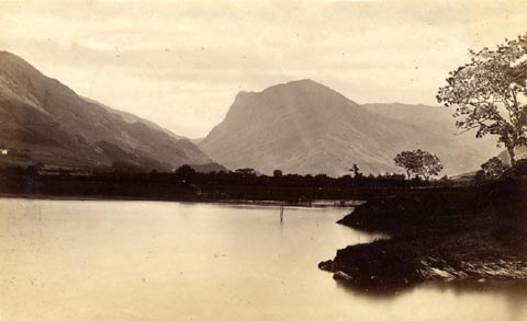 click to enlarge
HB0611.jpg
item:- Armitt Library : ALPS271
Image © see bottom of page
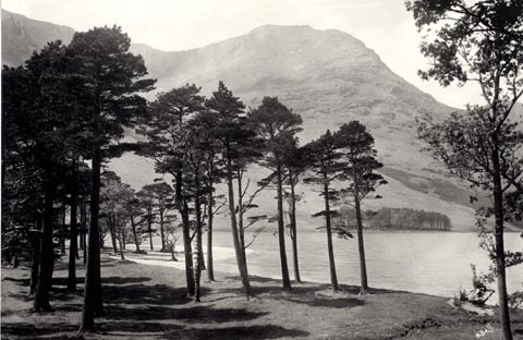
item:- tree; pine; scots pine; Pinus sylvestris
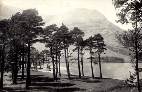 click to enlarge
HB0982.jpg
ms at rev:- "A Peep at Buttermere"
stamped at rev:- "HERBERT BELL / Photographer / AMBLESIDE"
item:- Armitt Library : 1958.4300
Image © see bottom of page
item:- tree; Scots pine; Pinus sylvestris
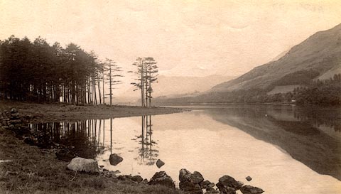
 click to enlarge
HB0903.jpg
internegative at lower right:- "H. Bell"
item:- Armitt Library : ALPS576
Image © see bottom of page
item:- reflection
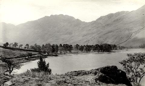
 click to enlarge
HB0423.jpg
item:- Armitt Library : ALPS77
Image © see bottom of page
item:- tree; Scots pine; Pinus sylvestris
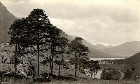
 click to enlarge
HB0424.jpg
stamped at reverse:- "HERBERT BELL / Photographer / AMBLESIDE"
item:- Armitt Library : ALPS78
Image © see bottom of page
 click to enlarge
HB0427.jpg
stamped at reverse:- "HERBERT BELL / Photographer / AMBLESIDE"
item:- Armitt Library : ALPS81
Image © see bottom of page
item:- tree; Scots pine; Pinus sylvestris
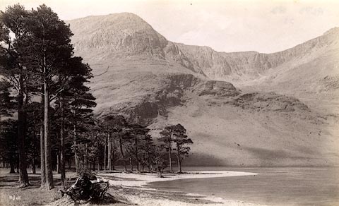 click to enlarge
HB0428.jpg
internegative at lower left:- "H. Bell"
item:- Armitt Library : ALPS82
Image © see bottom of page
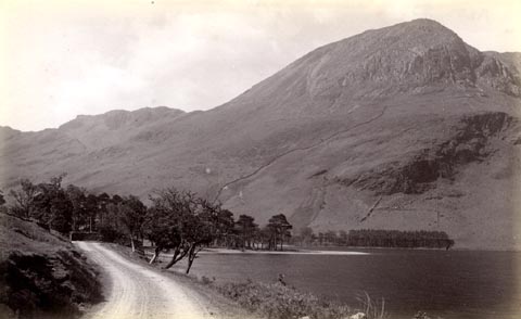 click to enlarge
HB0429.jpg
item:- Armitt Library : ALPS83
Image © see bottom of page
item:- tree; Scots pine; Pinus sylvestris
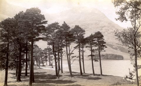 click to enlarge
HB0431.jpg
item:- Armitt Library : ALPS86
Image © see bottom of page
placename:- Buttermere
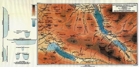 click to enlarge
MIL5.jpg
- with soundings and sections
item:- Kendal Library : 7.4
Image © see bottom of page
placename:- Buttermere
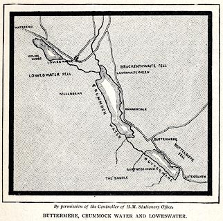 click to enlarge
PSN1M1.jpg
On p.xxv of Pearson's Gossipy Guide to the English Lakes and Neighbouring Districts.
printed at bottom:- "By permission of the Controller of H.M. Stationery Office. / BUTTERMERE, CRUMMOCK WATER AND LOWESWATER."
item:- Armitt Library : A1188.3
Image © see bottom of page
placename:- Buttermere
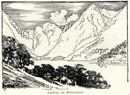 click to enlarge
BRL129.jpg
On page 134 of Highways and Byways in the Lake District, by A G Bradley.
printed at lower left:- "AG"
printed at bottom:- "Looking up Buttermere."
item:- JandMN : 464.29
Image © see bottom of page
placename:- Buttermere
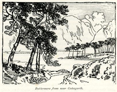 click to enlarge
BRL130.jpg
On page 146 of Highways and Byways in the Lake District, by A G Bradley.
printed at bottom:- "Buttermere from near Gatesgarth."
item:- JandMN : 464.30
Image © see bottom of page
placename:- Buttermere
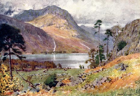 click to enlarge
HC0143.jpg
Opposite p.124 of The English Lakes, painted by Alfred Heaton Cooper, described by William T Palmer.
printed at tissue opposite the print:- "HEAD OF BUTTERMERE"
printed at signed lower right:- "A HEATON COOPER"
item:- JandMN : 468.43
Image © see bottom of page
placename:- Buttermere Lake
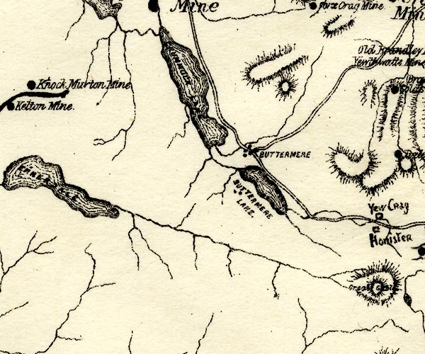
PST2NY11.jpg
"BUTTERMERE LAKE"
lake
item:- JandMN : 162.2
Image © see bottom of page
placename:- Buttermere
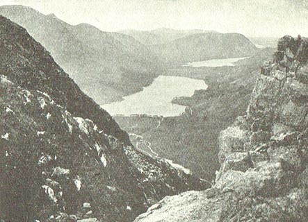 click to enlarge
MA1229.jpg
item:- JandMN : 173.37
Image © see bottom of page
placename:- Buttermere
 click to enlarge
PCH118.jpg
printed, "Buttermere and Crummockwater. / ..."
item:- JandMN : 1015.18
Image © see bottom of page
placename:- Buttermere
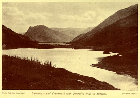 click to enlarge
AK0412.jpg
Tipped in opposite p.64 of Lakeland Passes, by John B Barber and George Atkinson, 1927, 3rd edn 1928.
printed at bottom:- "Photo Pettitts, Keswick.) Buttermere and Crummock with Fleetwith Pike in distance. (To face page 64."
item:- JandMN : 350.13
Image © see bottom of page
placename:- Buttermere
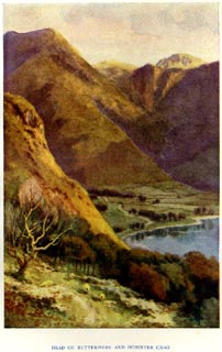 click to enlarge
PR1569.jpg
Tipped in opposite p.48 of The English Lakes section of a volume of Our Beautiful Homeland.
printed at bottom:- "HEAD OF BUTTERMERE AND HONISTER CRAG"
item:- JandMN : 381.11
Image © see bottom of page
placename:- Buttermere
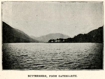 click to enlarge
RUM119.jpg
On p.59 of the Cyclist's Guide to the English Lake District, by A W Rumney.
printed at bottom:- "BUTTERMERE, FROM GATESGARTH."
item:- JandMN : 147.20
Image © see bottom of page
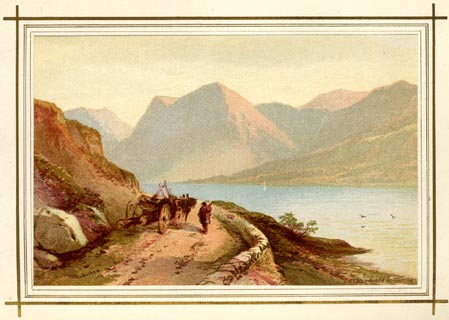 click to enlarge
LF1E11.jpg
Tipped in opposite p.99 of English Lake Scenery, by W J Loftie.
printed at lower left:- "T L Rowbotham"
printed at lower right:- "MARCUS WARD &CO. CHROMO"
item:- Armitt Library : A963.11
Image © see bottom of page
placename:- Buttermere Lake
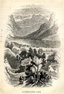 click to enlarge
RT0103.jpg
Tipped opposite p.74 of Loitering among the Lakes of Cumberland and Westmoreland, by Paul Ritter?
printed at bottom:- "BUTTERMERE LAKE."
item:- Fell and Rock Climbing Club : 2.4
Image © see bottom of page
placename:- Buttermere Lake
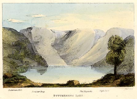 click to enlarge
TAT210.jpg
Included in The Lakes of England, by W F Topham.
printed at bottom:- "BUTTERMERE LAKE."
printed at bottom:- "Buttermere Moss. / Honister Crag. / The Haycocks. / High Style. / Red Pike."
item:- Armitt Library : A1067.10
Image © see bottom of page
placename:- Buttermere
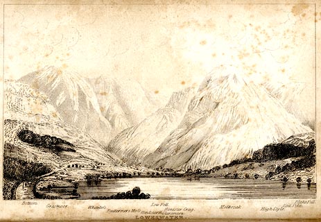 click to enlarge
TAT134.jpg
The print is captioned with mountain names and acts as an outline view.
Frontispiece to The Lakes of England, by George Tattersall (listed to be inserted opposite p.35).
printed at bottom:- "LOWESWATER. / from the North West."
printed at bottom left to right:- "Bottom. / Grasmoor. / Whiteless. / Buttermere &Moss. / Hindscarth. / Low Fell. / Glaramara. / Honister Crag. / Melbreak. / High Style. / Red Pike. / Blake Fell."
item:- Armitt Library : A1204.35
Image © see bottom of page
placename:- Buttermere Lake
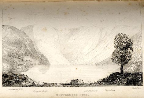 click to enlarge
TAT127.jpg
The print is captioned with mountain names and acts as an outline view.
Tipped in opposite p.74 of The Lakes of England, by George Tattersall.
printed at bottom:- "BUTTERMERE LAKE."
printed at bottom left to right:- "Buttermere Moss. / Honister Crag. / The Haycocks. / High Style. / Red Pike."
item:- Armitt Library : A1204.28
Image © see bottom of page
placename:- Buttermere Water
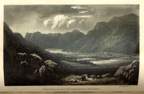 click to enlarge
GN0125.jpg
Tipped in opposite vol.2 p.211 of The Tourist's New Guide, by William Green.
printed at bottom right, centre:- "Vol.2, page 211, line 2. / CRUMMOCK and BUTTERMERE WATERS. / Published at Ambleside, Augt. 1. 1819, by Wm. Green."
item:- Armitt Library : A1141.26
Image © see bottom of page
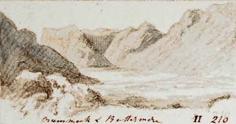 click to enlarge
PR1405.jpg
View of Crummock and Buttermere with large hills in background. One of a set of twenty views of the lake district executed by the artist on one sheet of paper.
at bottom:- "Crummock & Buttermere II 218"
item:- Tullie House Museum : 2009.89.49
Image © Tullie House Museum
placename:- Buttermere
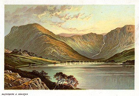 click to enlarge
PR0170.jpg
From a set of prints, The Scenery of the English Lakes
printed at lower left:- "T. NELSON &SONS"
printed at bottom left:- "BUTTERMERE &HONISTER"
item:- Dove Cottage : 2008.107.170
Image © see bottom of page
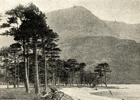 click to enlarge
BGG176.jpg
Included on p.197 of Lakeland and Ribblesdale, by Edmund Bogg.
item:- JandMN : 231.76
Image © see bottom of page
placename:- Buttermere
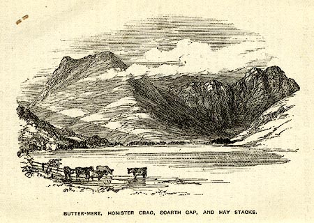 click to enlarge
PI0103.jpg
Included on page 16 of the guide book, Ascents and Passes in the Lake District of England, by Herman Prior.
printed at bottom:- "BUTTER-MERE, HONISTER CRAG, SCARTH GAP, AND HAYSTACKS."
item:- JandMN : 235.5
Image © see bottom of page
placename:- Buttermere
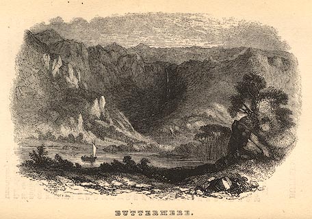 click to enlarge
BC02E6.jpg
Tipped in opposite p.81 of Black's Picturesque Guide to the English Lakes, published by Adam and Charles Black, North Bridge, Edinburgh, 3rd edn 1846.
bottom, left, centre, right:- "[MONT] STANLEY DEL. / BUTTERMERE. / E. EVANS SC."
item:- JandMN : 32.9
Image © see bottom of page
placename:- Buttermere
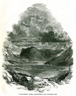 click to enlarge
PR0338.jpg
On a page of The Land We Live In.
printed on a rock, lower left:- "E. DALZIEL."
printed at bottom:- "5.- CRUMMOCK WATER, BUTTERMERE, AND HONISTER CRAG."
item:- Dove Cottage : 2008.107.338
Image © see bottom of page
placename:- Buttermere
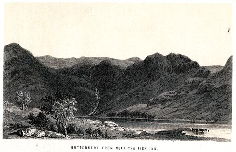 click to enlarge
NS01F.jpg
Frontispiece to a guide book, The English Lakes.
printed at bottom:- "BUTTERMERE FROM NEAR THE FISH INN."
item:- JandMN : 336.1
Image © see bottom of page
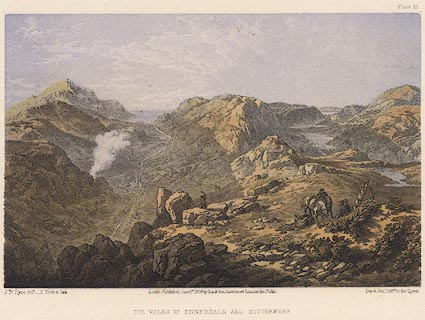 click to enlarge
PY15.jpg
"Vales of Ennerdale and Buttermere"
item:- JandMN : 97.14
Image © see bottom of page
placename:- Buttermere Lake
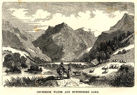 click to enlarge
AD03E6.jpg
Tipped in opp.p.67 in Adams's Pocket Descriptive Guide to the Lake District.
printed at lower centre:- "F DELAMOTTE"
printed at bottom:- "CRUMMOCK WATER AND BUTTERMERE LAKE."
item:- Armitt Library : A1117.7
Image © see bottom of page
placename:- Buttermere
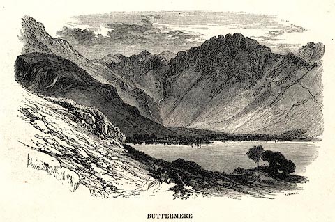 click to enlarge
PR0484.jpg
printed at bottom left, right, centre:- "[B] Foster / E. EVANS SC. / BUTTERMERE"
item:- Dove Cottage : 2008.107.433
Image © see bottom of page
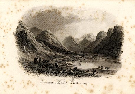 click to enlarge
HRW219.jpg
printed at bottom left, right, centre:- "London, J &F. Harwood, 26, Fenchurch Street. / August 17, 1842. / Crummock Water and Buttermere."
item:- JandMN : 166.19
Image © see bottom of page
placename:- Buttermere Lake
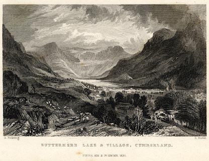 click to enlarge
PR0056.jpg
vol.3 pl.67 in the set of prints, Westmorland, Cumberland, Durham and Northumberland Illustrated. The shepherd gathering his sheep is in a kilt.
printed at bottom left, right, centre:- "G. Pickering. / D. Buckle. / BUTTERMERE LAKE & VILLAGE, CUMBERLAND. / FISHER, SON &CO. LONDON, 1835."
item:- Dove Cottage : 2008.107.56
Image © see bottom of page
placename:- Buttermere
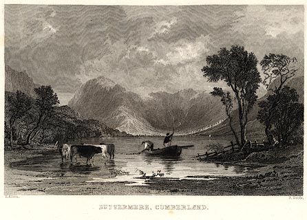 click to enlarge
PR0024.jpg
vol.1 pl.63 in the set of prints, Westmorland, Cumberland, Durham and Northumberland Illustrated. Cattle drinking, and fishermen hauling nets from a rowing boat, in the foreground.
printed at bottom left, right, centre:- "T. Allom. / R. Sands. / BUTTERMERE, CUMBERLAND."
item:- Dove Cottage : 2008.107.24
Image © see bottom of page
placename:- Buttermere
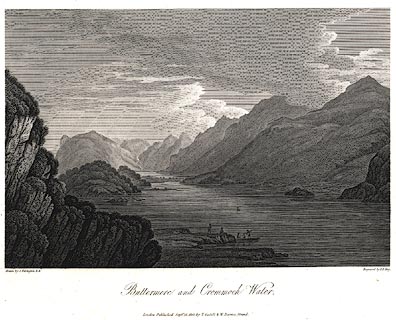 click to enlarge
PR0448.jpg
Plate 28 in The Lakes of Lancashire, Westmorland, and Cumberland.
printed at bottom left, right, centre:- "Drawn by J. Farington. / Engraved by F. R. Hay. / Buttermere and Crommock Water. / London, Published Septr. 15, 1815, by T. Cadell &W. Davies, Strand."
The accompanying text is by Thomas Hartwell Horne:- "BUTTERMERE AND CROMMOCK WATER."
"THE Lake of Buttermere is of an oblong form, not exceeding half a mile in breadth; its length is something more than a mile and a half, and it derives its supply of water from a river that flows through Gatesgarth-Dale. Its western shores are hemmed in by a long range of rugged mountains, which rise abruptly from the margin of the water with dark and gloomy aspects, and are known to the shepherds, by whom their craggy steeps are chiefly traversed, by the names of Hay-Cock, High-Crag, High-Stile, and Red-Pike. The blue rag-stone, of which these dark mountains are mostly composed, is not porous, and absorbs but little water; a circumstance that accounts for the number and variety of the little waterfalls, which in different parts are seen pouring down their steep sides. The eastern shores rise more gently, are partially wooded, and admit of cultivation at a short distance from the Lake; the north end is skirted by the verdant vale of Buttermere, so celebrated by tourists; and the southern extremity is bounded by Honister Crag, which is delineated in the folowing engraving. From this steep, numerous torrents are continually pouring down their foaming waters into the Lake: one of these roaring cataracts appears in the back-ground of the present view. It is called Scale-force, and is two hundred feet perpendicular: the steep on both sides is covered with moss, fern, ash, and oak, which are all fed by the constant spray, and flourish in indescribable verdure. The delicacy of the effect is heightened by being in a narrow chasm, a hundred yards in the rock, before it rushes into the lower fall, from the point of which the best view is to be obtained."
"..."
item:- private collection : 112
Image © see bottom of page
placename:- Buttermere Water
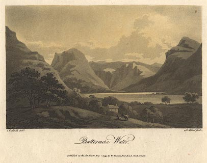 click to enlarge
BNV34.jpg
Plate 13 in Views of the Lakes.
printed at bottom:- "... Buttermere Water."
item:- private collection : 73
Image © see bottom of page
placename:- Buttermere
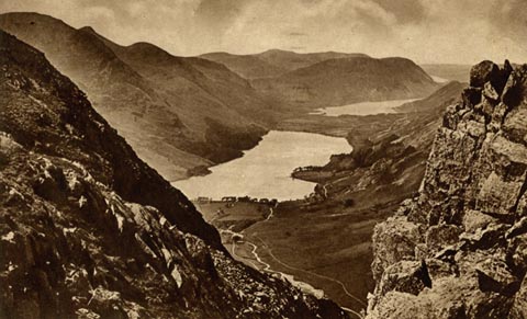 click to enlarge
PH0095.jpg
Perhaps from Dale Head.
The message is dated 2.9.1941.
printed at bottom:- "BUTTERMERE, CRUMMOCK AND LOWESWATER"
printed at rev:- "Photogravure Series by G. P. ABRAHAM, LTD. (copyright) KESWICK"
item:- JandMN : 963
Image © see bottom of page
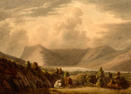 click to enlarge
PR1891.jpg
item:- Armitt Library : 2000.181
Image © see bottom of page
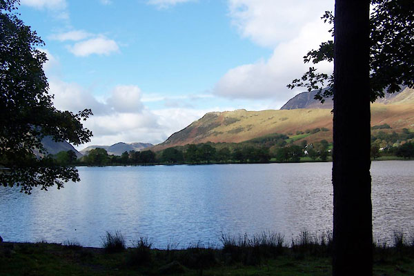
BXM56.jpg (taken 6.10.2012)
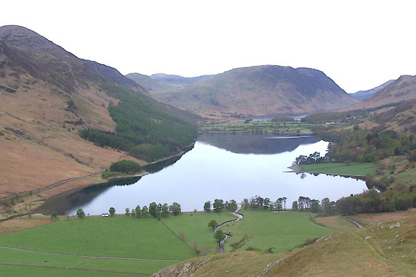
BQL63.jpg From Fleetwith.
(taken 1.5.2009)
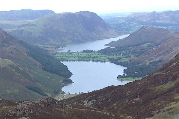
BMR59.jpg From Brandreth.
(taken 22.9.2006)
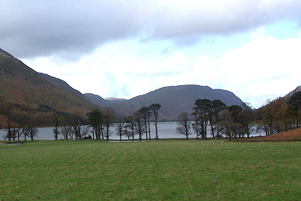
BJZ26.jpg From Gatesgarth.
(taken 7.11.2005)

Click to enlarge
BVP90.jpg From Gatesgarth.
(taken 1.11.2011)
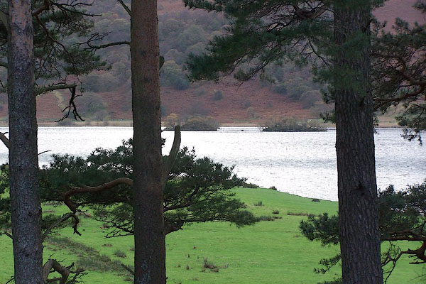
BJZ33.jpg (taken 7.11.2005)
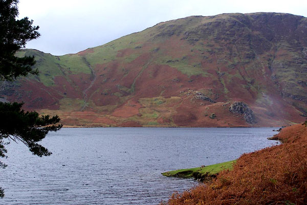
BJZ34.jpg (taken 7.11.2005)
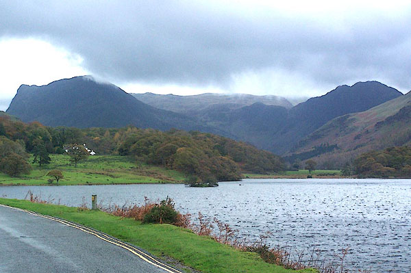
BJZ39.jpg (taken 7.11.2005)
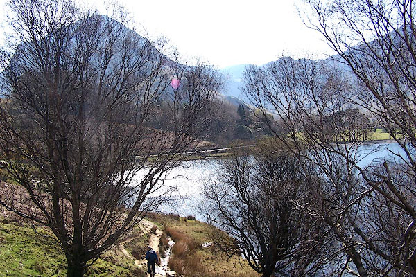
BLY20.jpg (taken 24.4.2006)
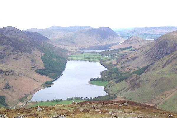
BQL64.jpg From Fleetwith.
(taken 1.5.2009)

BMR59.jpg From Brandreth.
(taken 22.9.2006)
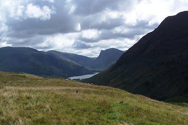
BVG94.jpg (taken 17.8.2011)
 viewpoint, Buttermere Peter Crosthwaite 5
  viewpoint, Gatesgarth Peter Crosthwaite 6
  viewpoint, Rannerdale Knotts Peter Crosthwaite 4