 Garnett 1850s-60s NY40


|

|
|
|
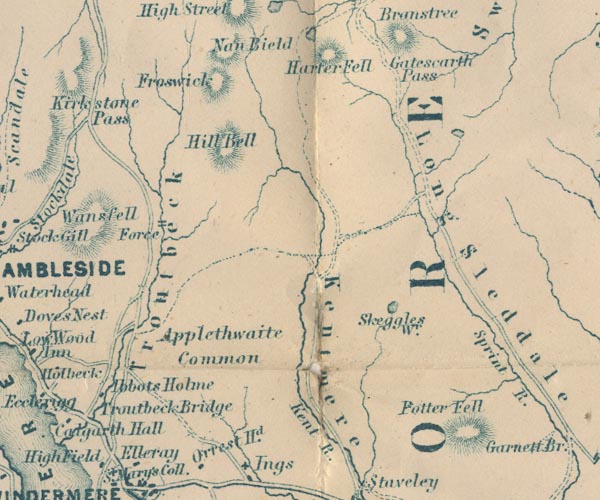
gazetteer links places may or may not be labelled on the map |
||

|
-- Applethwaite Common -- "Applethwaite Common" |
|
|
|
-- Froswick -- "Froswick" |
|
|
|
-- Gatescarth Pass -- "Gatescarth Pass" |
|
|
|
-- Harter Fell -- "Harter Fell" |
|
|
|
-- Ibbotsholme -- "Abbots Holme" |
|
|
|
-- Ill Bell -- "Hill Bell" |
|
|
|
-- Kent, River -- "Kent R." -- "R. Kent" |
|
|
|
-- Kentmere -- "Kentmere" |
|
|
|
-- Longsleddale -- "Long Sleddale" |
|
|
|
-- Potter Fell -- "Potter Fell" |
|
|
|
-- Skeggles Water -- "Skeggles Wr." |
|
|
|
-- Sprint, River -- "Sprint R." |
|
|
|
-- Trout Beck |
|
|
|
-- Troutbeck Bridge -- "Troutbeck Bridge" |
|
|
|
-- Troutbeck -- "Troutbeck" |
|
|
civil parishes The area roughly includes parts of parishes:- Kentmere Shap Rural Hugill Strickland Roger Longsleddale Over Staveley Patterdale Lakes Windermere |
||
|
|
||
|
|
Lakes Guides menu. | |