 West 1784 map NY23


|

|
|
|
gazetteer links places may or may not be labelled on the map |
||

|
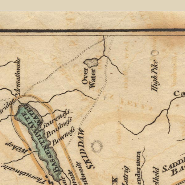
-- Bassenthwaite Lake -- "BASSENTHWAITE WATER" |
|
|
|
-- Bowness Farm |
|
|
|
-- Broadness |
|
|
|
-- Dash Beck |
|
|
|
-- Ellen, River |
|
|
|
-- Over Water |
|
|
|
-- Scarness |
|
|
civil parishes The area roughly includes parts of parishes:- Setmurthy Blindcrake Blennerhasset and Torpenhow Boltons Bewaldeth and Snittlegarth Underskiddaw Bassenthwaite Ireby Mungrisdale Caldbeck Wythop |
||
|
|
||
|
|
Lakes Guides menu. | |