 West 1784 map NY12


|

|
|
|
gazetteer links places may or may not be labelled on the map |
||

|
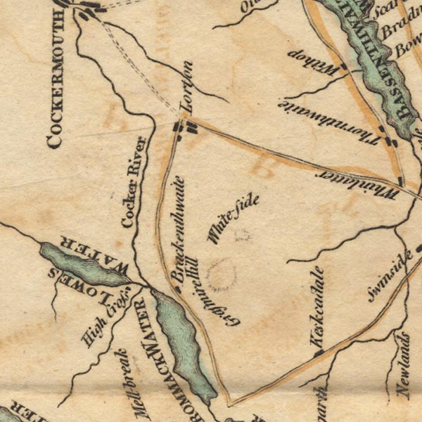
-- Brackenthwaite |
|
|
|
-- Cocker, River |
|
|
|
-- Crummock Water -- "CROMMACK WATER" |
|
|
|
-- Grasmoor |
|
|
|
-- High Lorton |
|
|
|
-- Highcross |
|
|
|
-- Keskadale Farm |
|
|
|
-- Loweswater -- "LOWES WATER" |
|
|
|
-- Whiteside |
|
|
civil parishes The area roughly includes parts of parishes:- Buttermere Above Derwent Loweswater Lorton Dean Lamplugh Cockermouth Blindbothel Embleton Wythop Brigham |
||
|
|
||
|
|
Lakes Guides menu. | |